The Lower Mississippi River Water Trail
Maps and Mileage
On the Atchafalaya we will leave the USACE Mississippi River Maps behind and go to the 2012 Atchafalaya River Charts , which can be downloaded free-of-charge from the USACE New Orleans website by clicking on the below. All Rivergator mileage will refer back to the USACE system.
USACE 2012 Atchafalaya River and Outlets to Gulf of Mexico
USACE 2012 Atchafalaya River and Outlets to Gulf of Mexico
Navigation Chart Folio, 6th Edition
http://www2.mvn.usace.army.mil/ENG/EDSD/mapbooks/atch_nav_2012_map.asp
Louisiana Geological Survey Atchafalaya Basin Map
In addition to the USACE maps, you will want to get a copy of the Louisiana Geological Survey Atchafalaya Basin Map — which will become your best friend for any expedition down the Atchafalaya! This map is essential to any off channel paddling. It’s large scale is wonderful to read. In one map you will be able to see the entire Atchafalaya Basin – to Morgan City anyway.
The Atchafalaya Basin Map is a full color, large scale map of the basin above Morgan City created by the LSU Louisiana Geological Survey. This very useful map was printed in 2004 and is still accurate 12 years later, even as some channels are closing up due to sedimentation. Use your Louisiana Geological Survey Atchafalaya Basin Map for wayfinding the best route. (Check latest details on Google Earth. The Atchafalaya Basin is surprisingly connected, thanks to a series of satellite towers situated throughout). Map printed on waterproof paper. Features main channel, back channels, bayous, vegetation, campsites, roads, boat landings, levees, streams, and more. Fold out or rolled in tube. Satellite image on reverse side. Important note: does not include Atchafalaya or Wax Lake Deltas below Morgan City/Bayou Teche. Contact the Louisiana Geological Survey at http://www.lgs.lsu.edu or call 225.578.8590. Or call the DNR Atchafalaya Basin Program Office at 225.342.6437. Folded map = $14.00 and Tubed map = $17.00
0.1 LBD Three Rivers Landing
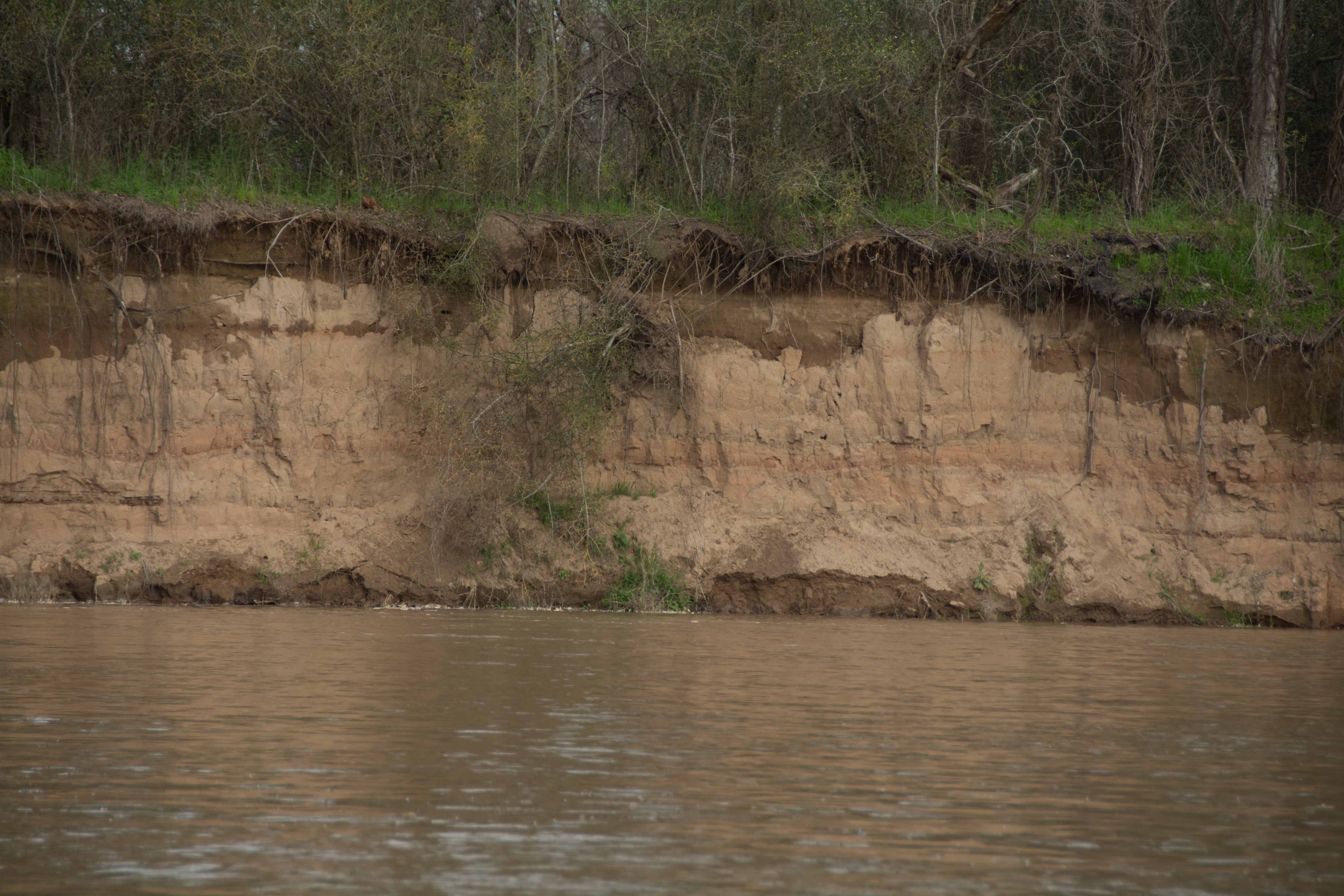
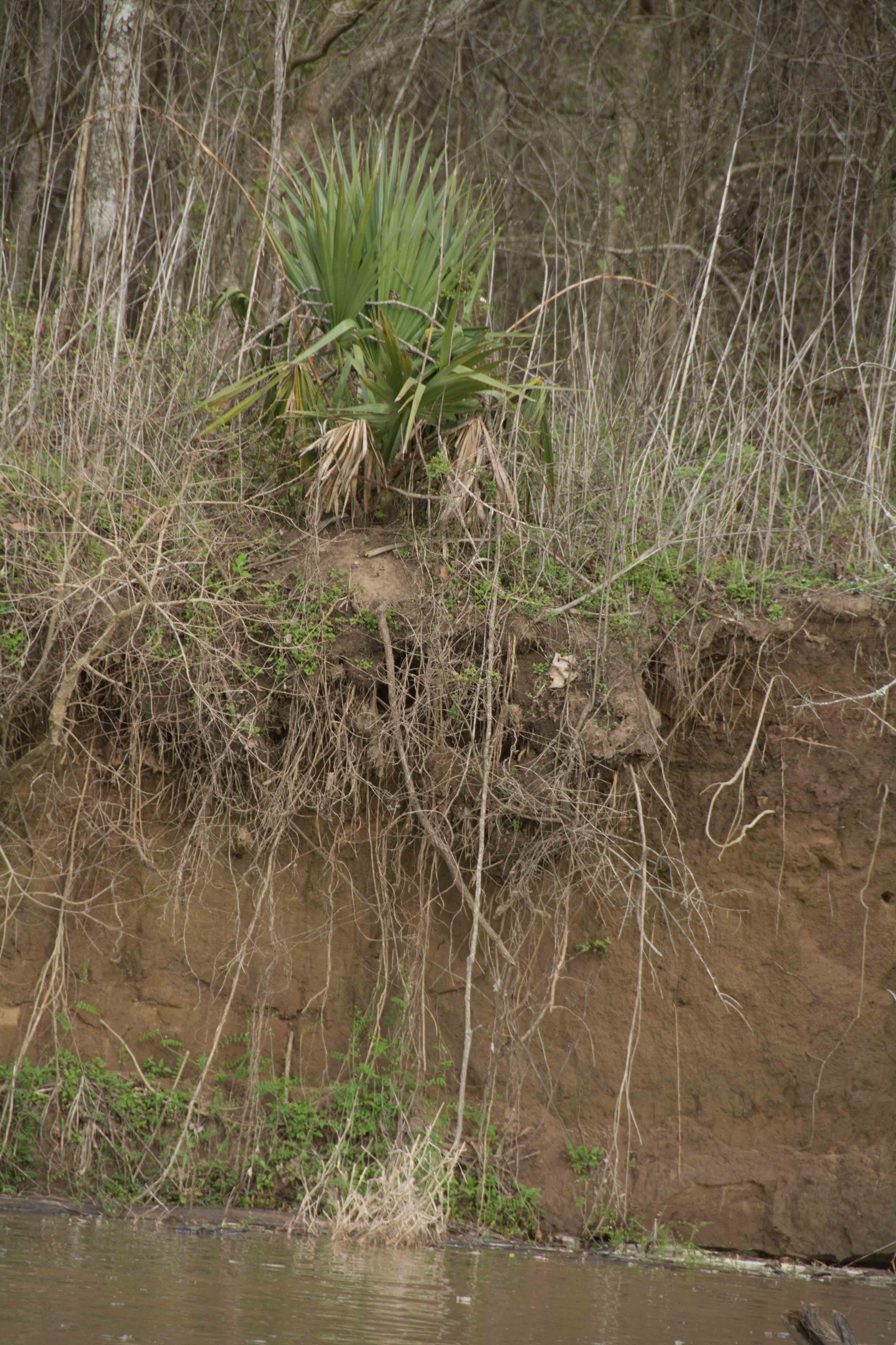
A nice sandbar emerges at low/med water at the downstream side of the mouth of the Lower Old River Channel, opposite the Junction Three River Light. Excellent picnic site, especially after paddling through the stillwater canal. Stop here and celebrate your first view of the Red, the Atchafalaya, and the Canal. At one time the canal was full of flowing water. This could make a good campsite, but is is ATV accessible, and is a popular fishing spot. As the water rises, the sandbar disappears. You can find good camping up to bank full on the grassy hummocks on top of the riverbank, but beware fire ants. The riverbank is thick with fire ant colonies. A conspicuous stand of Chinaberry trees line the river below here. Dewberries are thick along the river banks here and further downstream, to Krotz Springs.
Accompanying the agricultural fields and farm houses over the levee, there seems to be a lot of bankside trash along this stretch of river. From our expedition journals: Monday, March 16, 2015: Man’s bankside works are ant-like busy and ugly and survivalist. Good intentions turn too easily into mean lives. Maybe it’s only because I am one of their kind so I feel it too. But almost everywhere man’s bankside trash heaps bother my aesthetics. And every time nature’s expressions are full of beauty and elegance. Even the ragged weedy places with wind-ravaged trees falling into the river and getting tumbled roots, broken branches, mud, sand and grass rotating and tossed and piled into chaotic piles. Even there beauty is seen and felt there. Dewberries thick along the Atchafalaya, a stretch of Chinaberries, stand of big trees, but their upper section is mostly cut, broken over, or recovering. It’s the same bottomland hardwood forests as seen on the Mississippi, but red mud instead of black, and more people living close by. Similar to the Mississippi above Minneapolis: people living close to the land, and part of it, not passers by.
1.4 LBD Small Dune
A small dune forms in low water inside a small eddy found at the beginning of the inside bank of this turn of the river.
1.9 RBD Coville Bayou
For a taste of what’s to come deeper in the Atchafalaya Basin, turn off the main channel at 1.9 RBD and explore Coville Bayou, which twists around through thick woods and an tree-choked pathway.
3.4 LBD Bayou Coteau
Now cut off from the Atchafalaya River by the levee, Bayou Coteau was a once distributary of the big river, carrying water deep into the bottomland hardwood forests during high water.
3.7 LBD Bunge Dock
4.4 Bayou Des Glaises
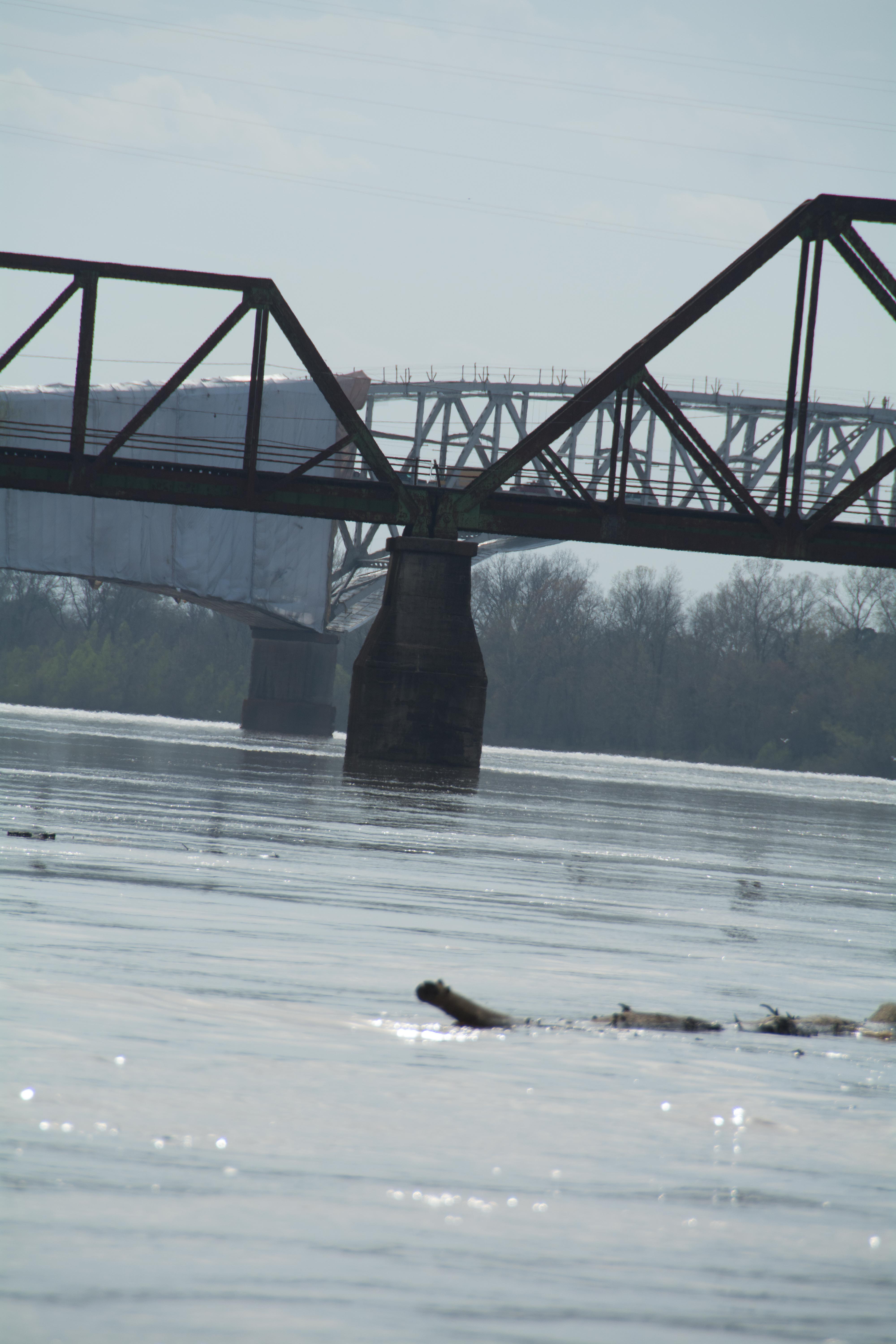
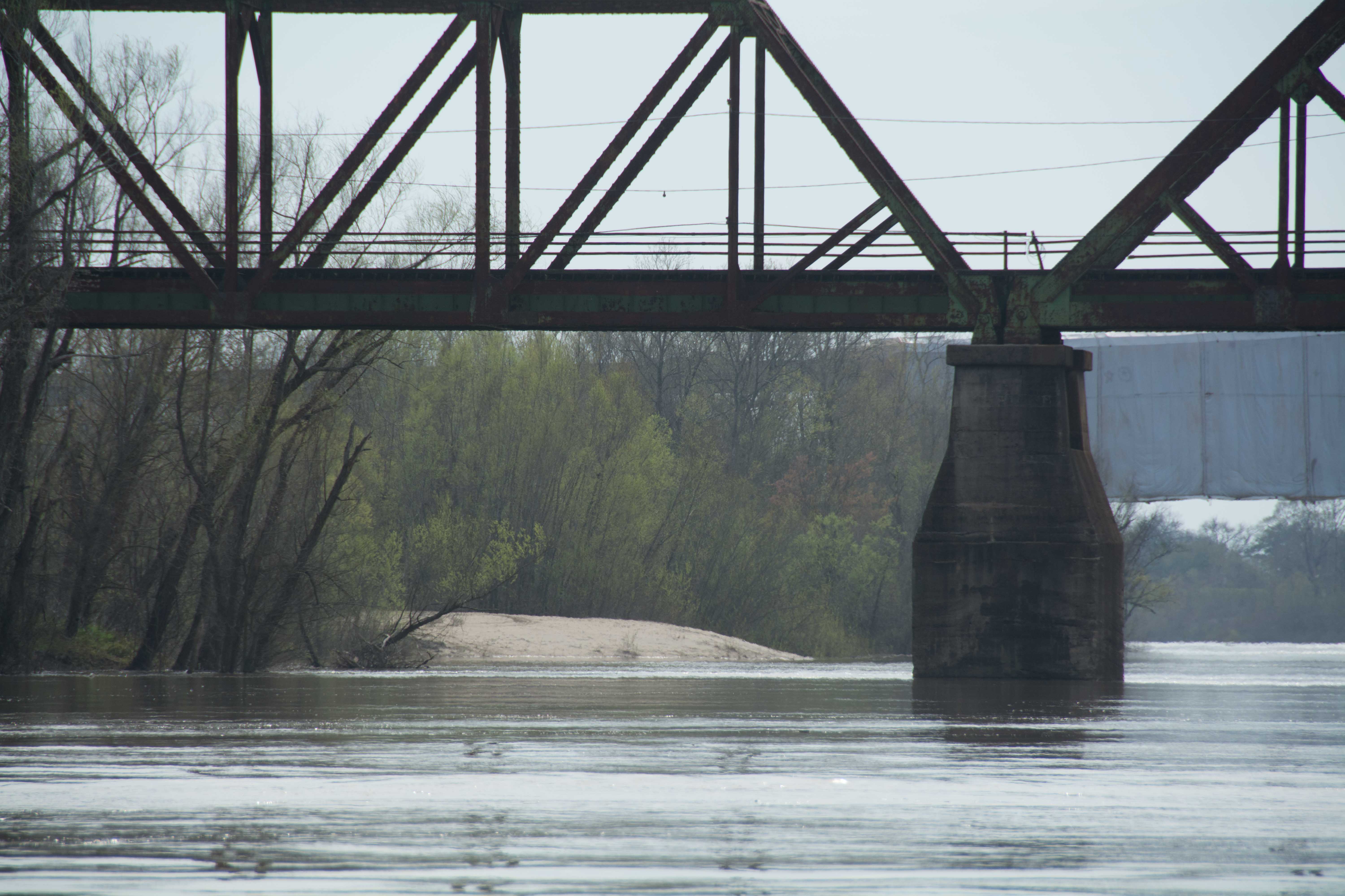
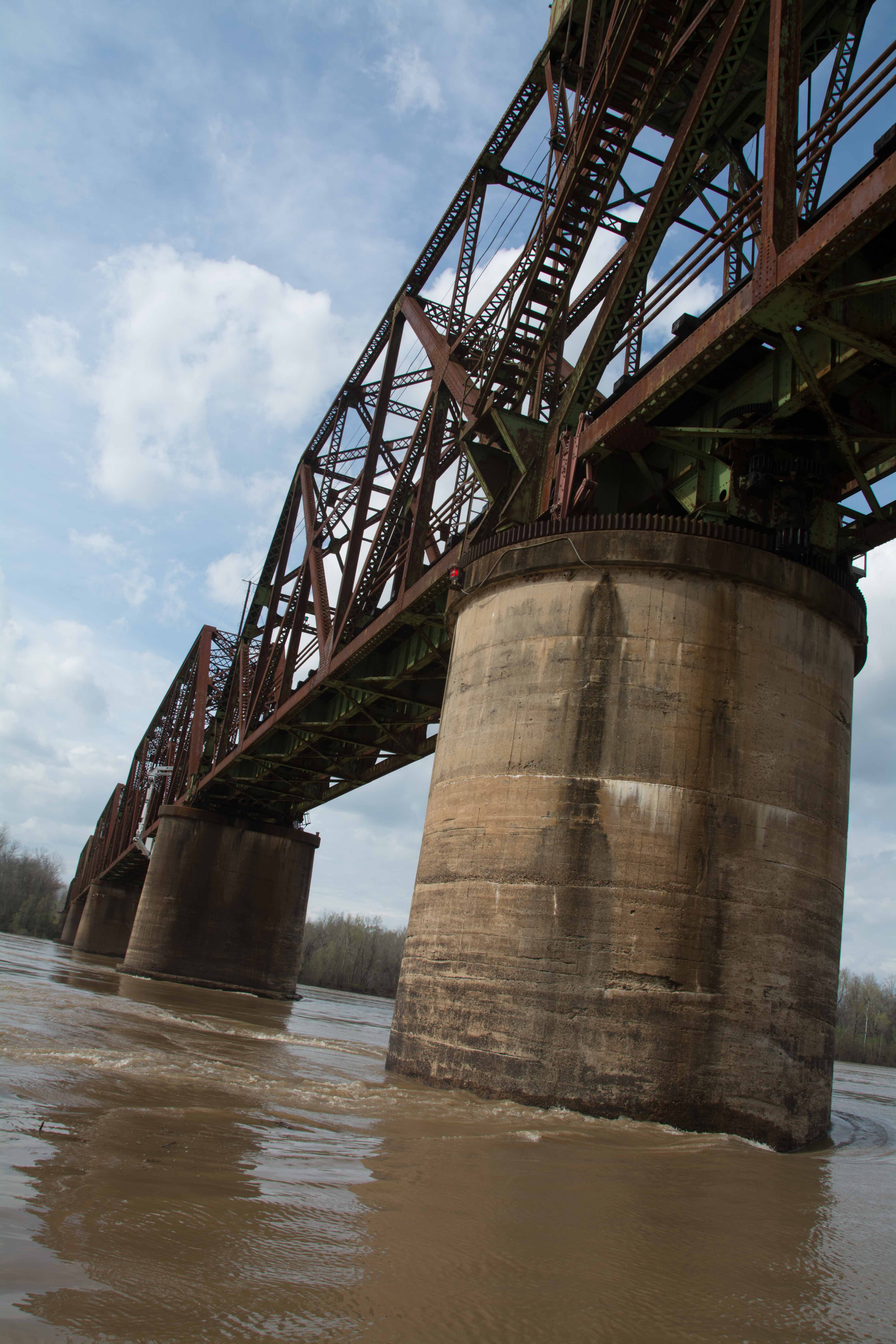
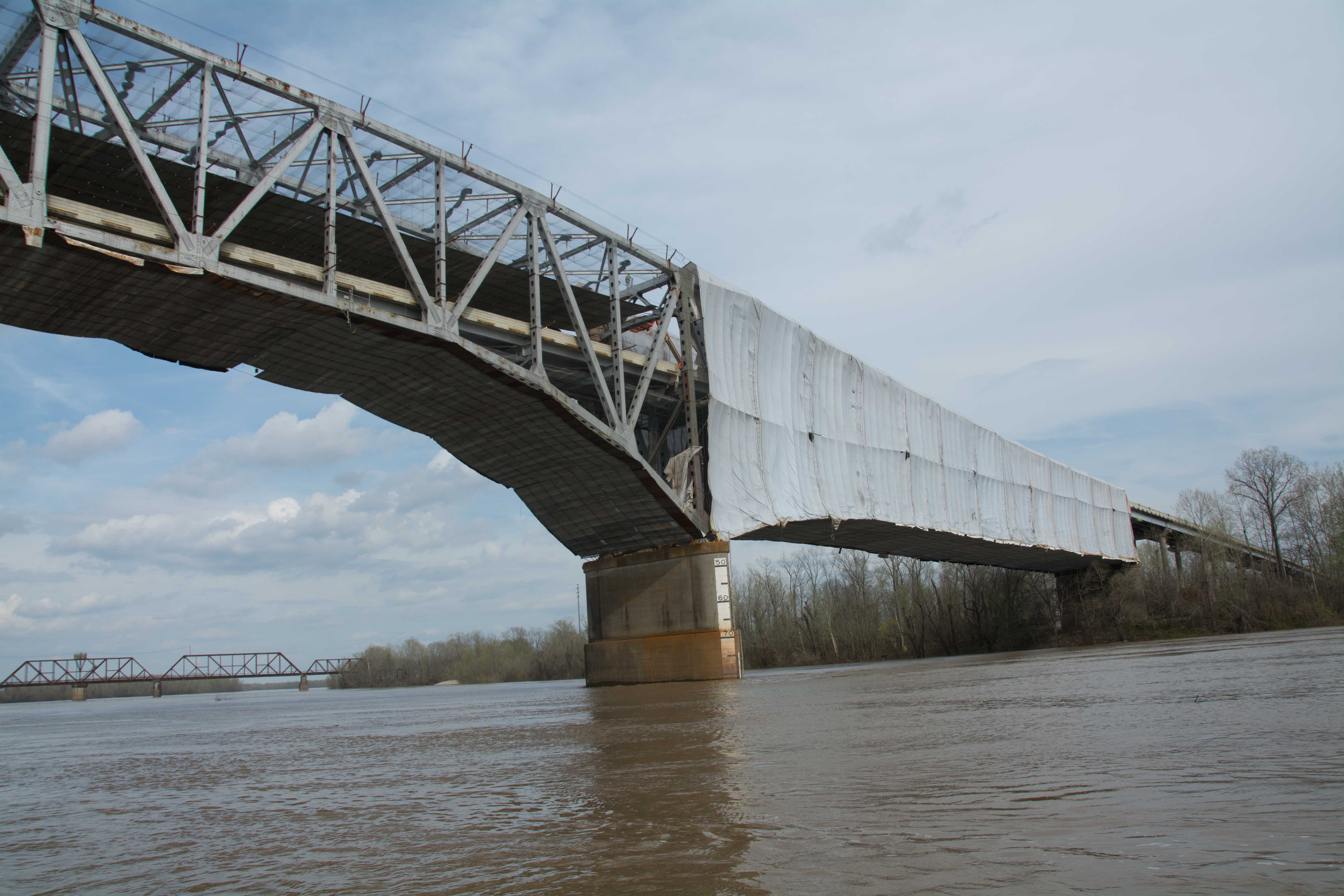
4.5 Simmesport KCS Railroad Bridge
Railroad swing brideg with a very narrow opening for commercial traffic. There are two narrow openings for navigation under the railroad bridge, both are about 132 feet wide, which isn’t much for a towboat 2 barges wide, or 60 feet. The steady handed pilots must have to hit this opening in a straight on run with no angle, and no sideways motion in the water. This is a truss through bridge. Danger: fast water currents pulling turbulently in all directions underneath this bridge!
4.6 Louisiana Rural Electric Aerial Crossing
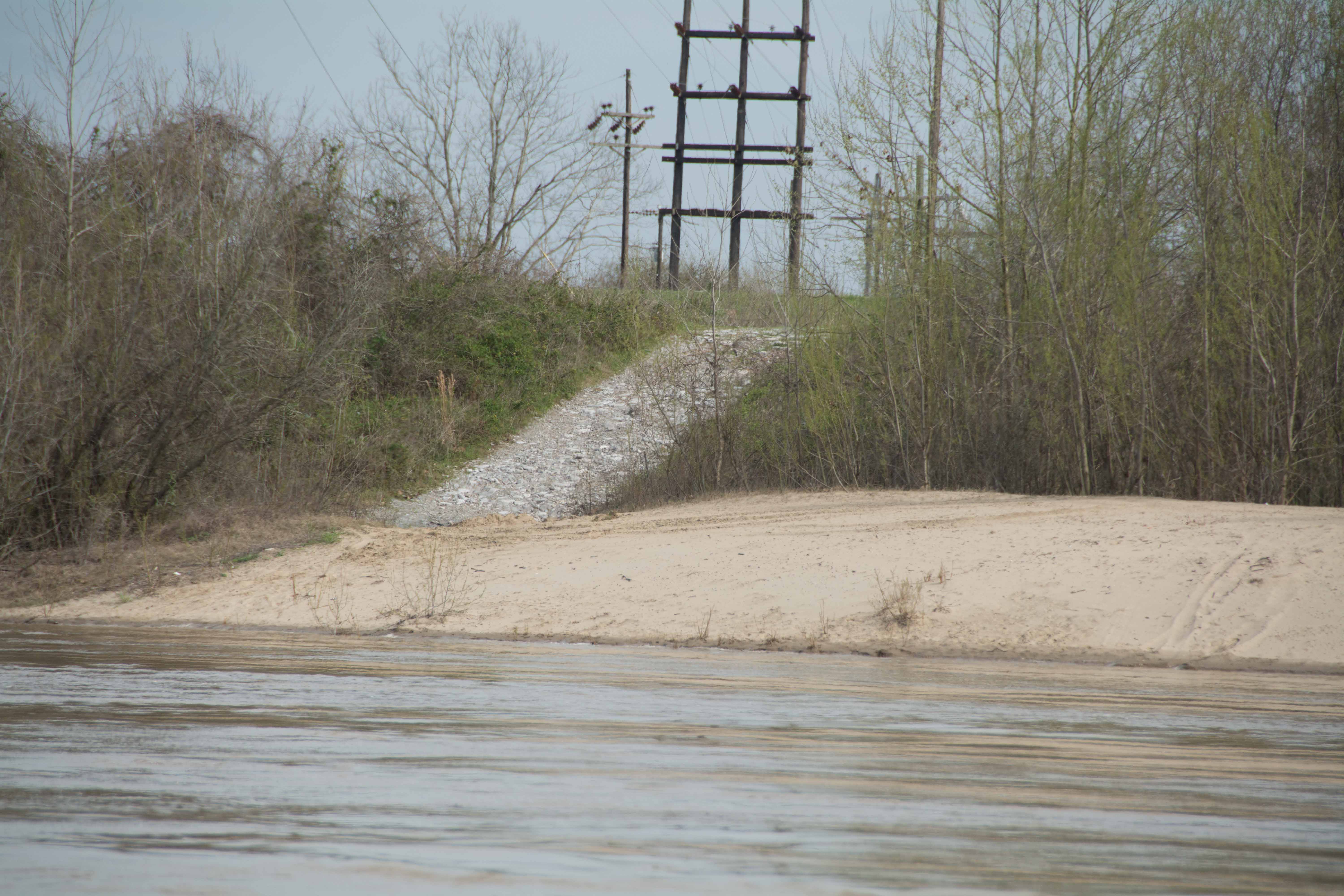
4.6 LBD Simmesport Sand Dune
A large sand dune forms here in low water 0-12 SG, and gradually diminishes as the water rises, but still substantial in medium water 30 SG. At high water only a sliver of sand remains, but no land at flood stage 35 SG. Good place to stop and picnic or stretch your legs, but not recommended for camping. Party Place. Accessible to roads.
4.8 LBD Kuhlman Bayou
5.0 Simmesport LA State Hwy No 1 Bridge
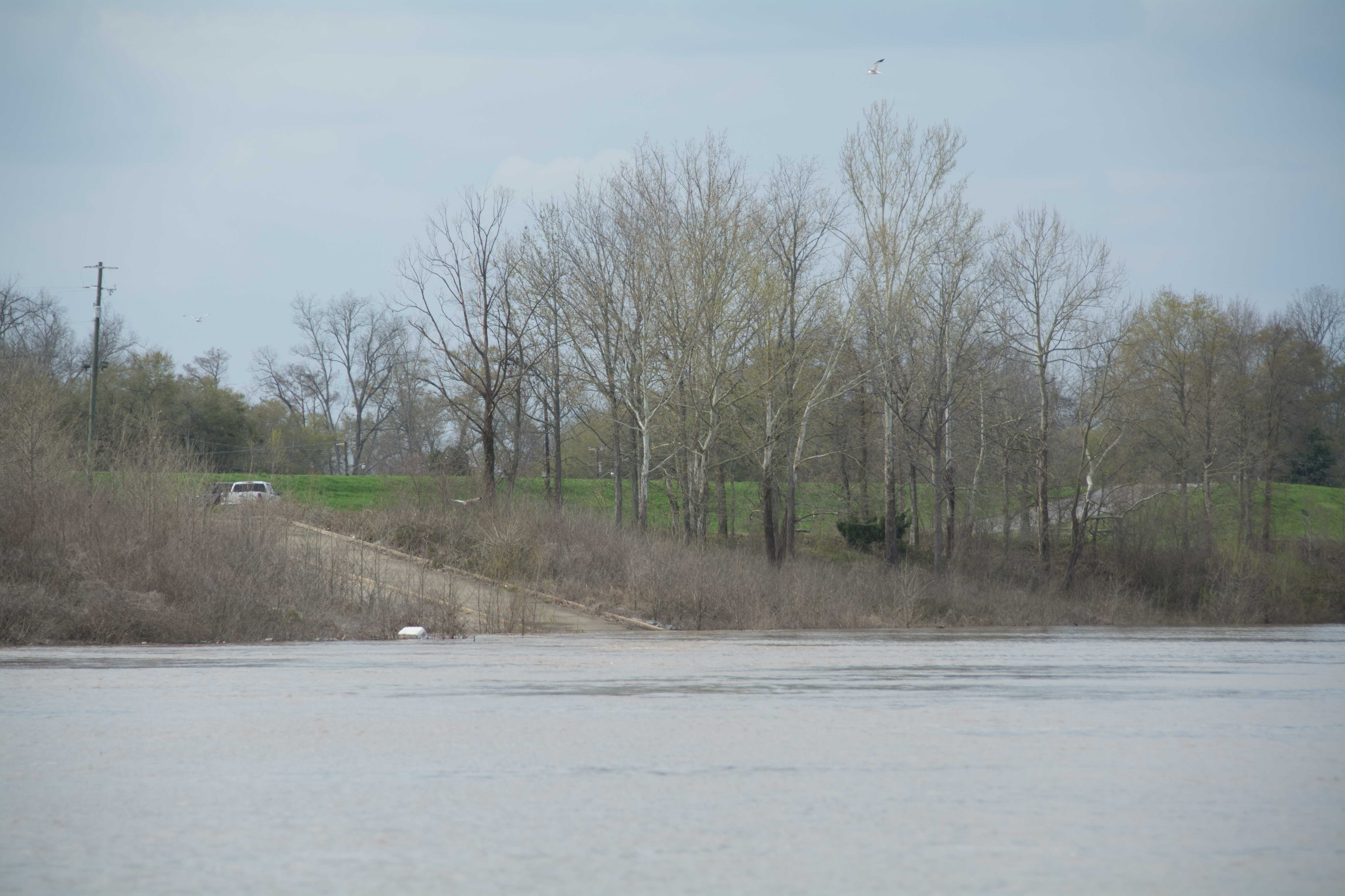
5.5 Simmesport River Park
There are a collection of covered picnic tables at the Simmesport River Park where paddlers could pull up (over the rip-rap) and make a picnic stop, or even camp overnight. Vehicle accessible. Located above a parking lot north of the Simmesport Boat Ramp. Just over the levee paddlers could find water, beer, ice and groceries all within walking distance. Further away on the other side of town you’ll find the US Post Office, several fish markets and also Gautraux’s Fresh Meat Market and Grocery (312 Laurel St). Note: there is no boat ramp on the LBD side of this bridge, as indicated by the USACE charts!
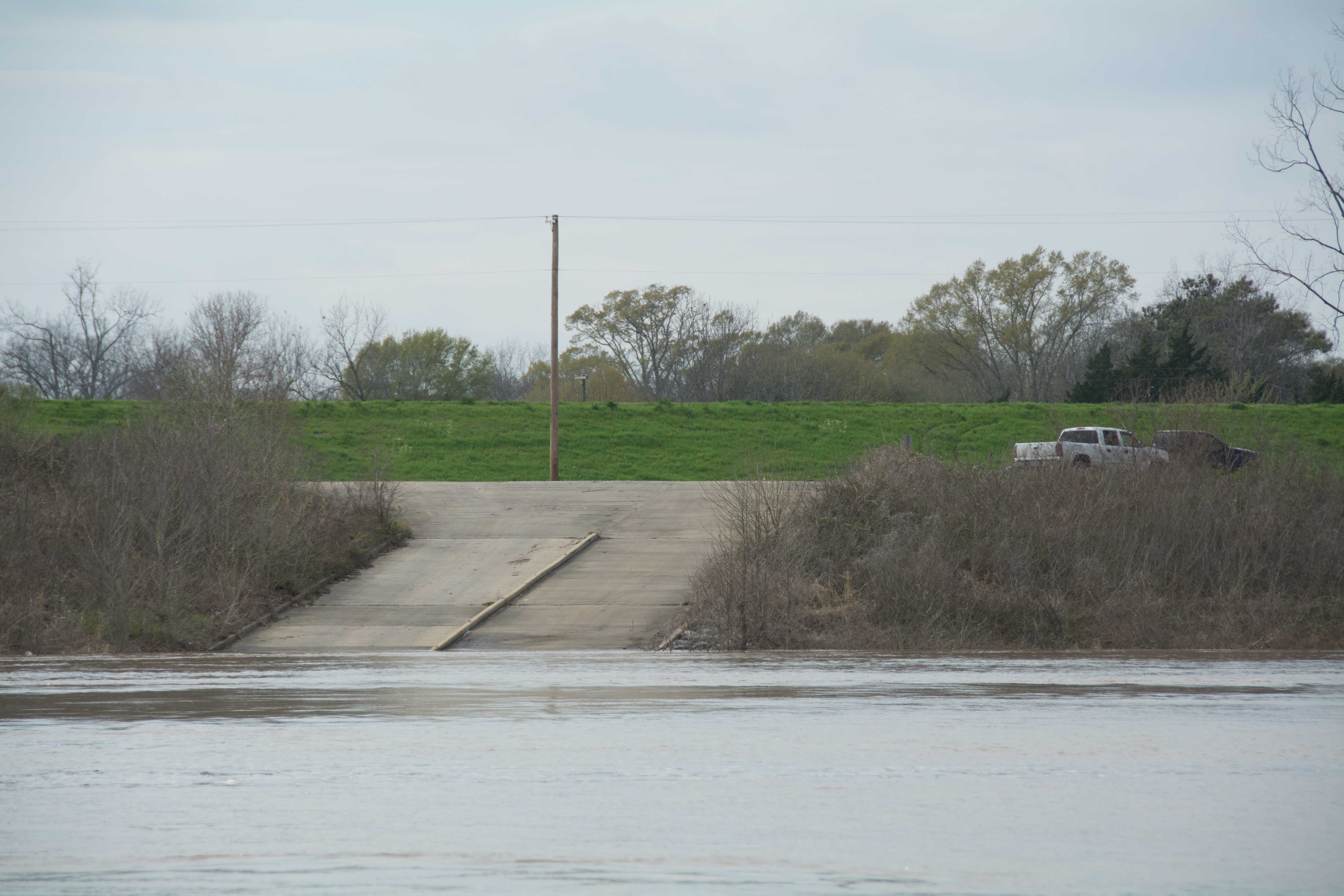
5.6 RBD Simmesport Boat Ramp
Leave A Comment
You must be logged in to post a comment.