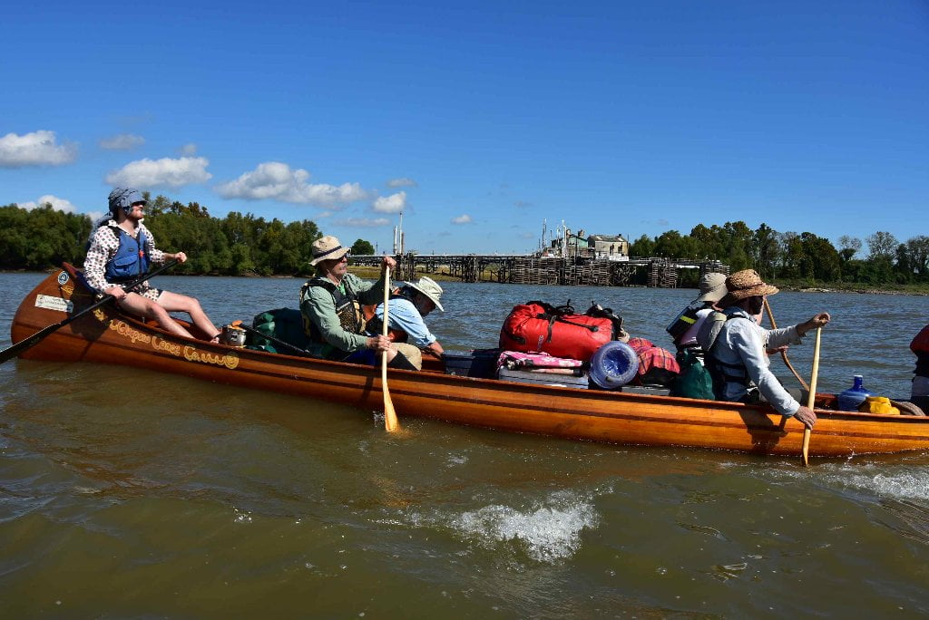
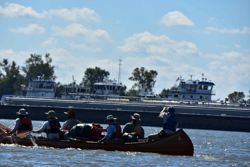
The Lower Mississippi River Water Trail

What to Pack:

In your vessel be sure to pack bow and stern lines, rescue rope, bailers and sponges, and at least one extra paddle.  Bring VHF marine radio if you have.  Bring cell phone in waterproof container.  Wear clothing appropriate to weather, but also pack (in waterproof drybag or drybox) rain gear, change of clothes, fleece or woolen tops and bottoms.  Pack extra food and extra water.  Pack at least one gallon of water per person per day during hot seasons.  For more reading and a complete description of paddling the Lower Mississippi River, please go to the Safety Page for the Rivergator at: https://www.rivergator.org/paddlers-guide/safety/

Atchafalaya Swamp Pack List:

In addition to the above, here are some very useful items to consider packing specific to the Atchafalaya:


-Machete: For trail-making.  For clearing out campsites in brushy places.  For clearing poison ivy from campsites.


-Water Filter (or Purification): For filtering swamp water in remote areas when you need drinking water.  You can always find water within the Atchafalaya Basin, but you can’t always get to places with tap water.  Be prepared to boil water, filter, or purify.


-Small camp stove: For boiling water and cooking food when you are camping surrounded by water, or in locations with no dry wood, or no possibilities for making a fire.


-Mosquito Netting: For especially bothersome mosquitoes, flies, gnats and no-see-ums.


-GPS: Might be useful.  A smartphone might be just as good.  Your phone will have service throughout most of the basin. 


-Hammock: For wet campsites.  For canoe camping.  For highwater expeditions when little to no dry ground can be found.


-Extra tarp: For setting your tent on.  To sit on in wet locations.  For covering firewood on rainy/foggy/dewy nights.

Primitive Camping in the Marshes & Swamps

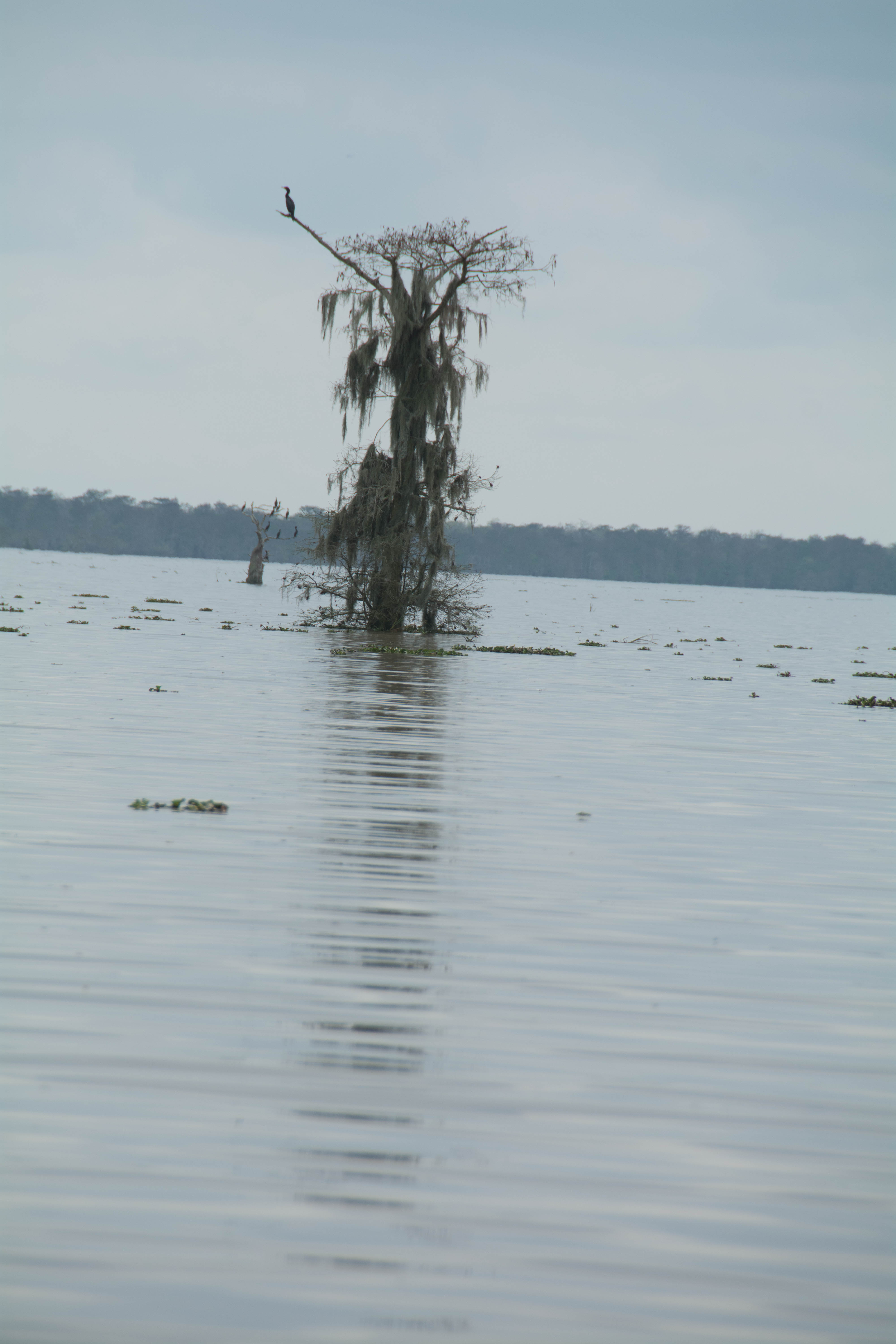
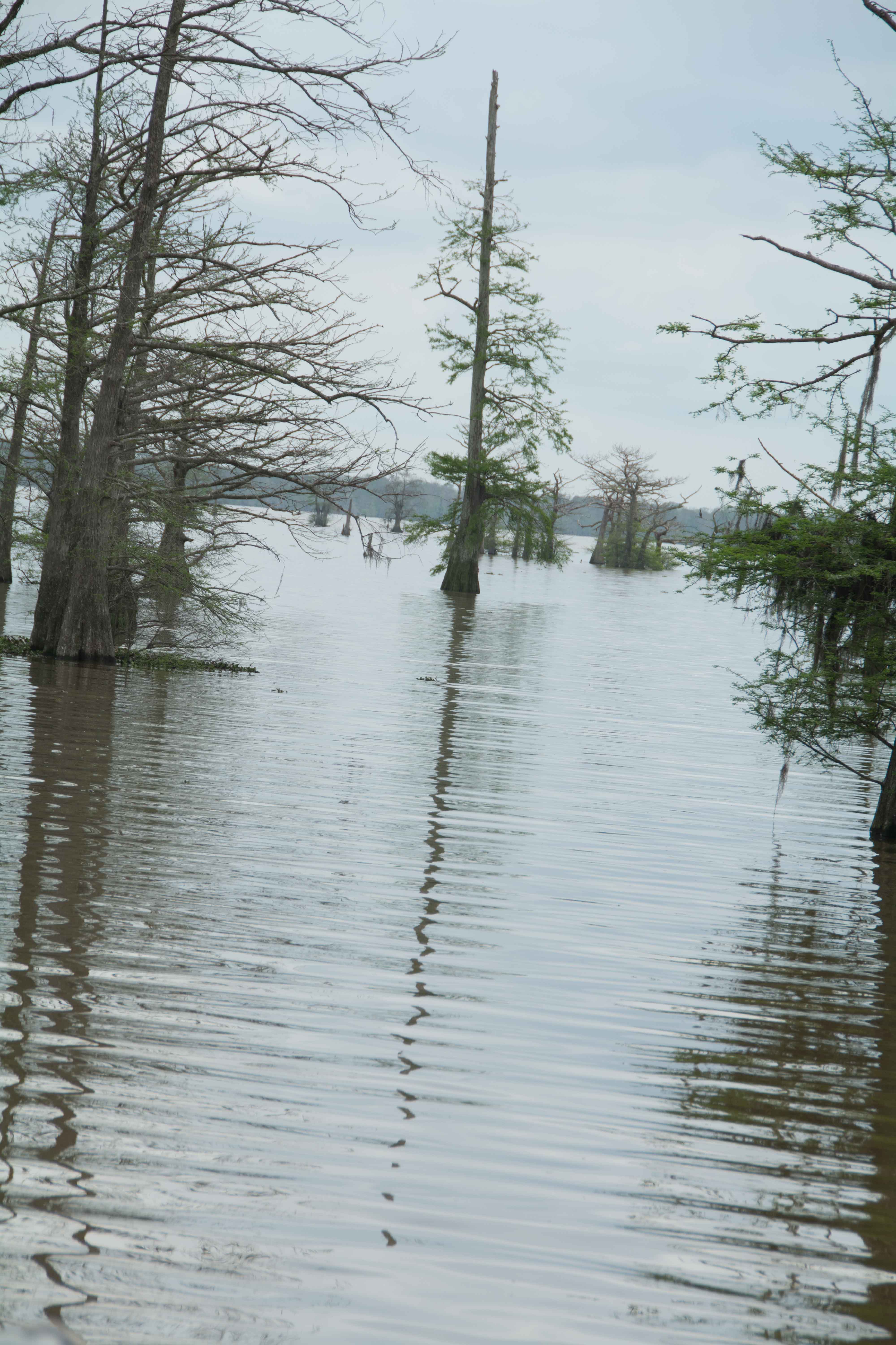
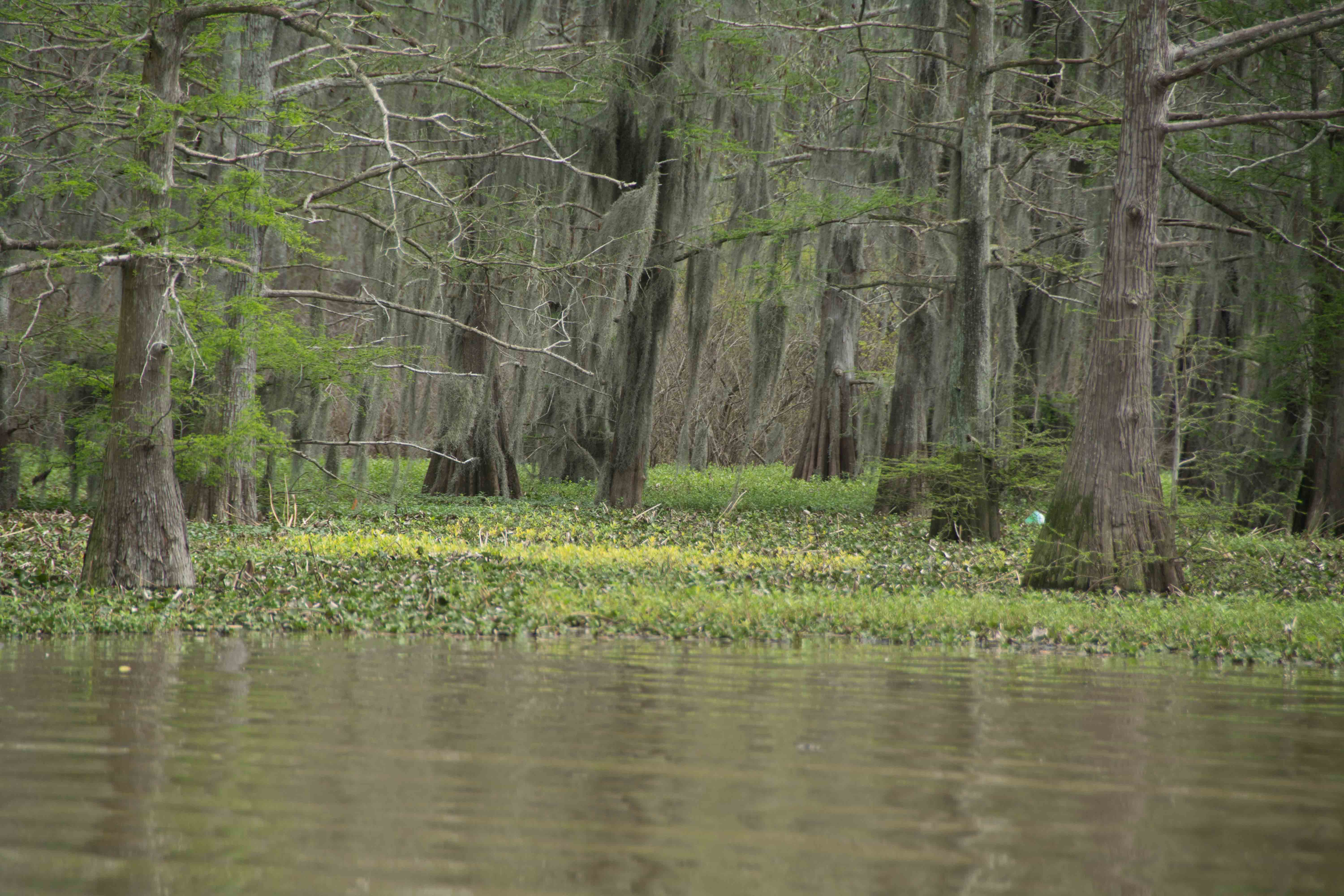
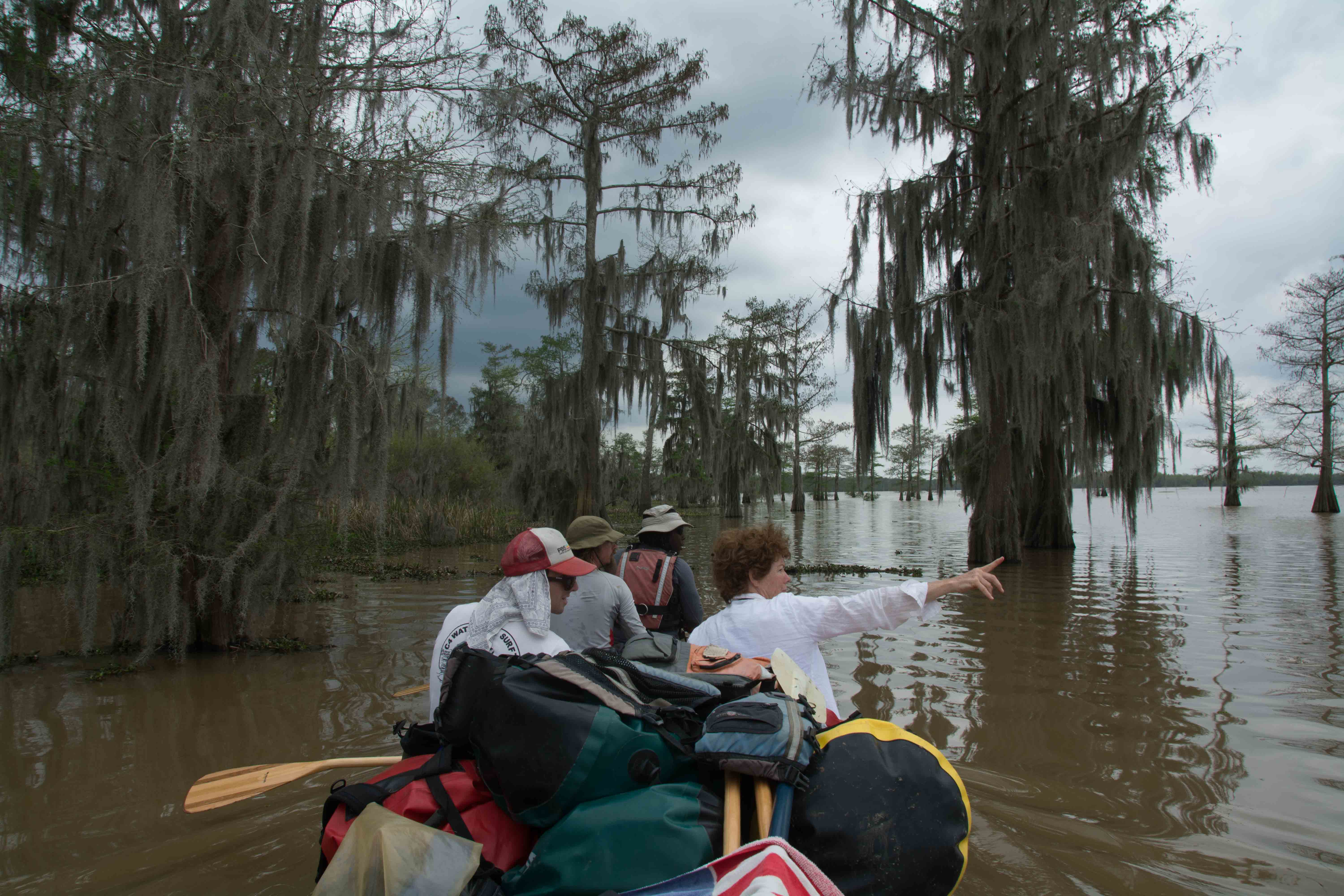
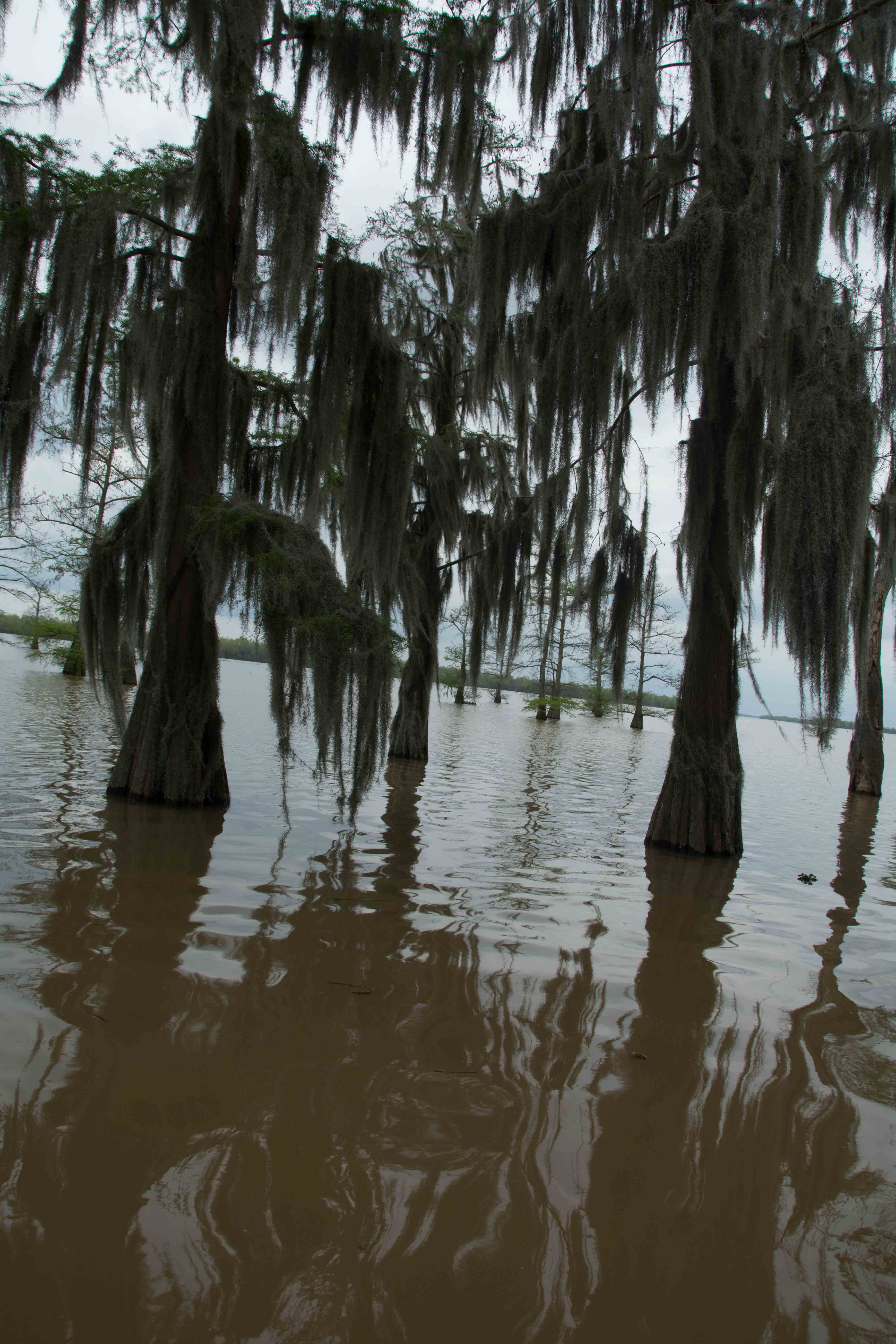
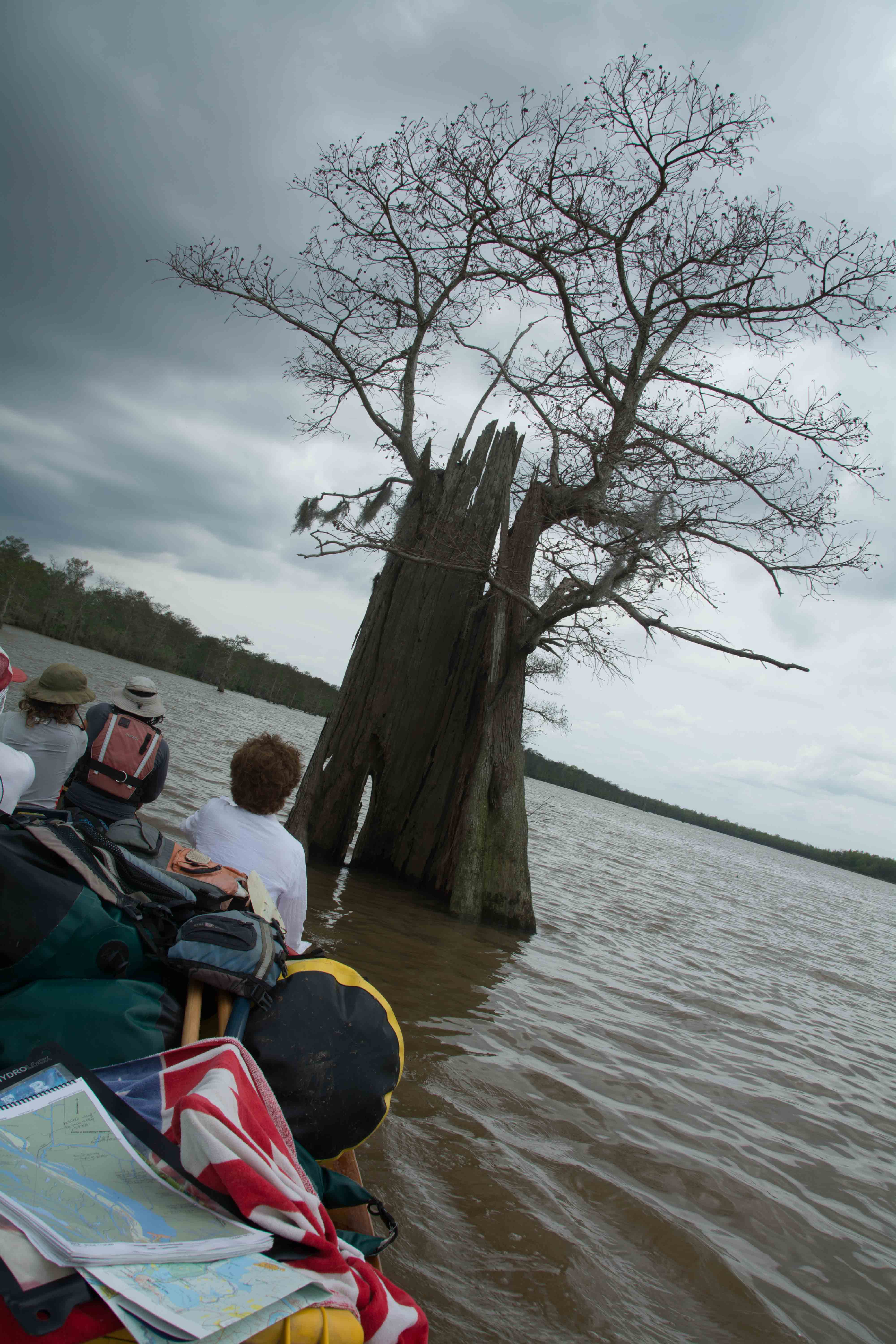
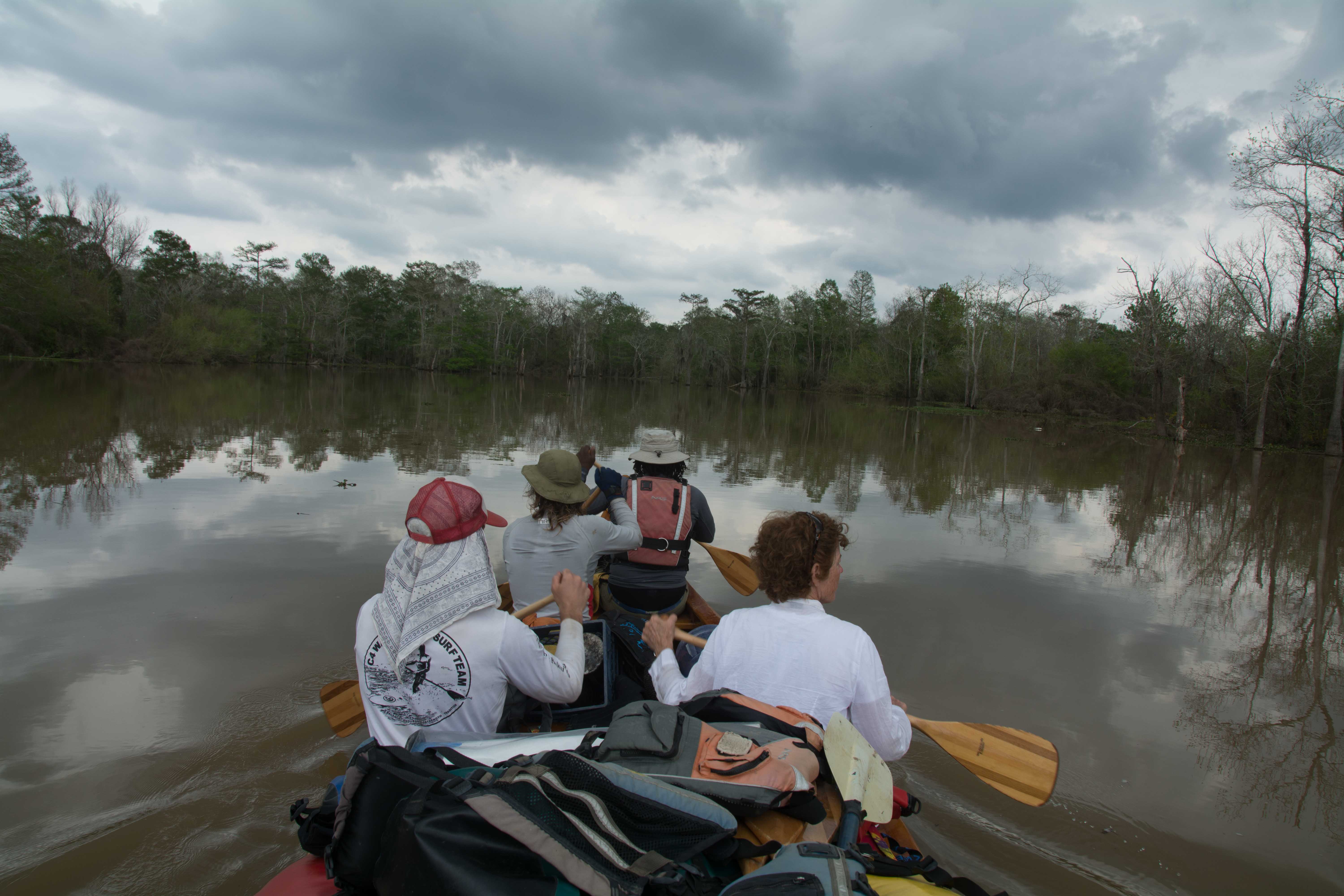
Camping (and picnicking) in the half-submerged Cypress-Tupelo Gum Swamps and Coastal Marshes of the Atchafalaya River Basin can be very challenging.  You might end up on spongy ground with half your camp in water, half on nothing but masses of vegetation held together by interlacing and interlocking roots, tubers and mud. It would be wise to pack a hammock.  This could be considered a semi-tropical jungle, after all. It would also be wise to pack an extra tarp or two for extra protection on wet spots.  Be sure to set your tent on a tarp for extra protection from below.  Other useful items to pack specific to the Atchafalaya include: machete, water filter, small camp stove, mosquito netting, GPS, and as already mentioned: hammock and extra tarp.


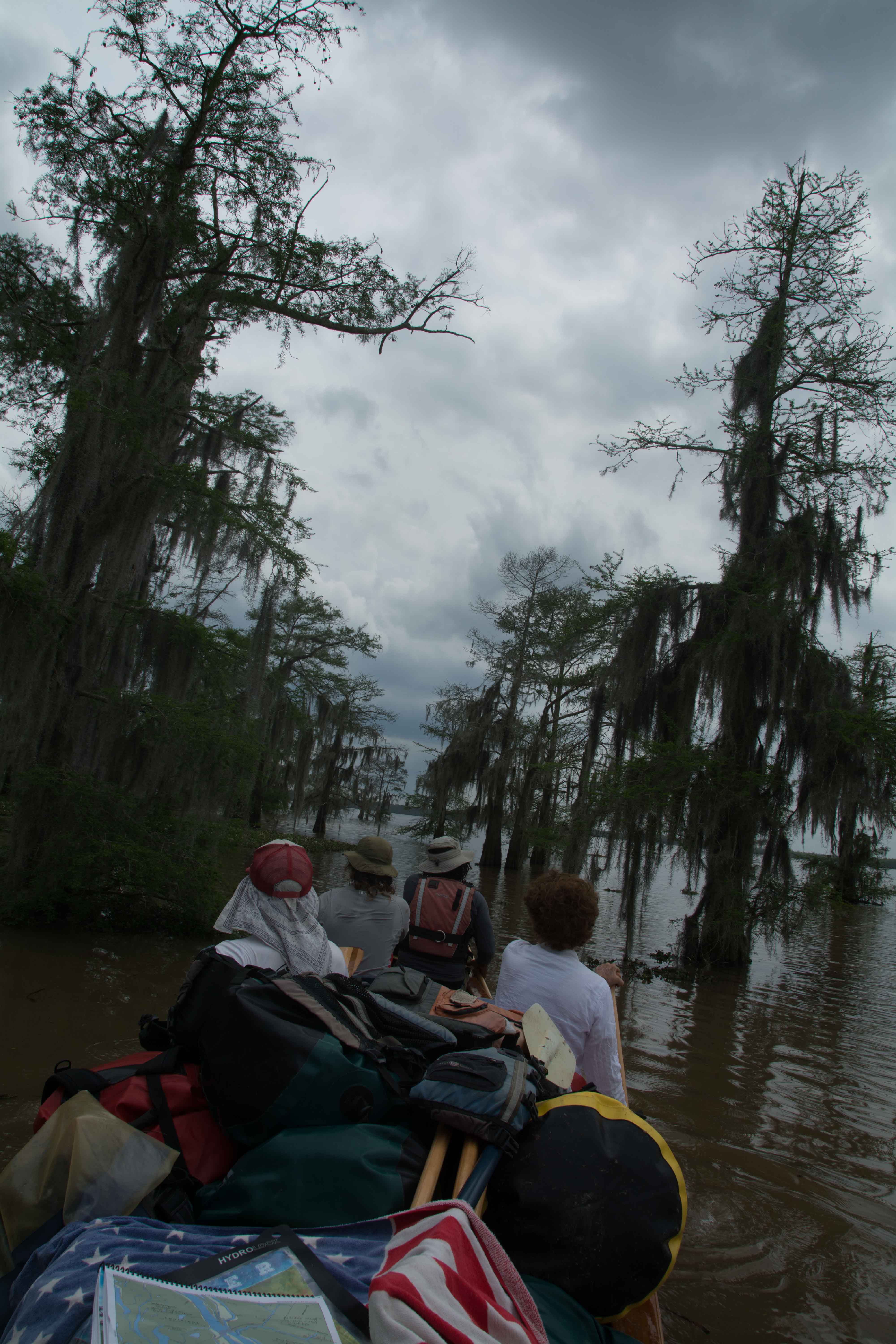
But like all challenging situations, there are many possible great rewards that accompany life in extreme situations, and the sometimes painful experiences.  Below is an excerpt from a wetlands camp in the Wax Lake Delta, which could be similar to camping in the wetlands anywhere below Krotz Spring: 


We camped at the junction of an oil pipeline canal and a curvy waterway we have been following which connects the Wax Lake Delta with the Atchafalaya.  We are maybe two-thirds of the way back across the coastal wetlands to Morgan City.  Swampy marshes surround us as far as the eye can see.  There is no dry land to be found, even the solid mass where we are camped is a wet composition of tangled roots, mud and grasses just solid enough to support our weight, erect our tents, and even build a fire.  Dry land is a thing of the past.  Terra cognita is nowhere to be found.  The marsh is a rich mixture of roots, leaves, and sulfurous soil, half of this world, half of another.  Like peat moss, it exists somewhere between life and decay.  As you move around your footsteps are accompanied by lots of sucking sounds, squishing, gollumping, gollashing sounds.  And in the stillness of the pre-morning darkness those wet rubbery sounds seem to be emulated by the frogs, and are punctuated in the sighs and moans of the nutria.  The sonic atmosphere rings with wetness of the place.  Later after sunrise the swampy symphony comes to a crescendo when the squeaks, whistles and shrieks of various birds, rodents and insects add their voices.  And us… what does the guttural bubbling monotone clunking of man’s tongue-speak sound like to the natives of the swampland?  Crickets join the morning chorus of grunts, squeaks and squishing noises, like rubber rubbing against rubber.  The plaintive cries of the nutria and Mark River adding in his own grunts and moans from his tent to the choir.  A lone songbird, a cardinal, makes a burst of song and then falls silent.  More sounds resound off the muddy channel: bankside thrashings, something crackling through the bullrushes, some violent splashing, then silence.  That was ominous.  A gator thrashing a nutria?  Frogs make all kinds of sounds, some coughing, some re-running short drum beats of jumbled snatches of snoggles, some grinding their gums and making that squishing rubber sound, a bullfrog bellow, a repeated chirping staccato like a giggling lamb, and then another cardinal.  David’s light flashes on in his tent.  And then Mark River’s.  Mark River can be heard stomping through the crackly bankside mattress of bullrushes, ferns and dried greens.  The far-off moan of a boat engine adds an accent.  One frog can be heard hiccuping like an amused old man clucking his tongue.  The whining of mosquitoes and at least two different kinds of crickets can be heard intertwining their rhythms, clicks, rasps and squeaks, maybe male and female?  And then a clan of coyotes far away cries and cries.

Biting Bugs

It is worth mentioning that biting insects are something that you should be prepared for on your paddle in the deep south.   (Thanks to Paul Orr and Zoe Sundra for writing this section.)


Mosquitos – In all but the coldest months mosquitos are a fact of life in the lowlands along the Atchafalaya River in Louisiana. Be prepared to deal with mosquitos (and sometimes clouds of mosquitos!) on your paddle. West Nile Virus and St. Louis Encephalitis are still showing up in SoLA. These diseases are not likely to cause a healthy adult any problems but young children, the elderly, and those with weakened immune systems should be very careful. If you or anyone in your party develops flu-like or other symptoms (body aches, joint pain, vomiting, diarrhea, rash, fatigue, fever, headache, dizziness, nausea, weakness) it is best to see a doctor as soon as possible.  PS:  A great way to avoid getting attacked by mosquitoes when leaving your tent at night is to use the bathroom is doubling 2 gallon size freezer ziploc bags and keeping them just outside your tent during the night. This will prevent continued itching, discomfort and unnecessary trips into uncomfortable weather throughout your expedition!


Fire Ants – Accidentally imported into the Gulf South through the Port of Mobile, the imported Red Fire Ant is now a widespread nuisance in the Deep South. You may have been lucky enough to avoid these aggressive and painful biters thus far but you won’t likely get through a paddle to the end of the river without at least a few bites. Just keep a sharp eye out for the characteristic hills (sometimes hiding in the brush!) and double check your camp site.


No-See-Ems / Biting Midges / Biting Gnats – Whatever you call them they can be a terrible nuisance. These tiny dark-colored flying insects live in the marshes of coastal Louisiana and can occur in very large numbers. Their bite can cause a very unpleasant localized reaction in many people and occasionally a worse allergic reaction in some. Paul has almost no problem with mosquitos but these gnats drive him crazy! The Rivergator expedition did not encounter any and hopefully you will not either, just be prepared if they do show up south of New Orleans.  (Insider tip: Common bug spray seems to have no effect on these pesky fellas, but pure vanilla extract keeps them at bay!)


Ticks – Ticks are rarely seen in the Atchafalaya River Floodplain.  They seem to prefer hill or mountain country like the Ozarks.  It would be surprising to find them on the river south of Baton Rouge. However, anytime you walk through forested land it’s not a bad idea to follow up with a “tick check.”


Redbugs – Redbugs, like ticks, don’t seem to be much of a problem on the river south of Baton Rouge, but can occur in the area.

Poison Ivy

Poison ivy grows plentifully on the Atchafalaya riverbanks and in the batture south of Baton Rouge. In some places it practically carpets the ground. If you are allergic to poison ivy (and remember, many people who think they are not allergic suddenly find themselves with a bad case one day…) learn how to identify it and be cautious with where you set up camp. Very little will make a paddle trip more miserable than a bad case of poison ivy.


Paddlers with allergy issues are strongly encouraged to make sure that their allergy meds are fully stocked and close at hand!

Leave A Comment

SECTION MILE ACCESS CITY
Middle Mississippi & Bluegrass Hills / Bootheel 195-0, 954-850 ST. LOUIS TO CARUTHERSVILLE
Chickasaw Bluffs 850 – 737 CARUTHERSVILLE TO MEMPHIS
Upper Delta 737 – 663 MEMPHIS TO HELENA
Middle Delta 663 – 537 HELENA TO GREENVILLE
Lower Delta 537 – 437 GREENVILLE TO VICKSBURG
Loess Bluffs 437 – 225 VICKSBURG TO BATON ROUGE
Atchafalaya River 159 – 0 SIMMESPORT TO MORGAN CITY
Atchafalaya Upper
Consider The Atchafalaya  
The Atchafalaya  
Alternate Route To The Gulf Of Mexico: The Atchafalaya River  
Big Geography Geography  
Atchafalaya Exit  
Intro: Atchafalaya River  
The Atchafalaya River: Best Route To The Gulf  
Best Water Levels To Paddle To The Gulf  
Traffic And Industry On The Atchafalaya  
NOTE TO PADDLERS:  
Who Is The Rivergator Written For?  
Reading The Rivergator:  
Panel Of Experts:  
Wild Miles:  
Warning: Stay Away From Intake Canals!  
What Are The Wild Miles?  
Big Trees And Floodplain:  
Important Note To Paddlers:  
Your Route: Main Channel Vs. Back Channel  
The Atchafalaya Split  
Maps And Mileage  
USACE 2012 Atchafalaya River And Outlets To Gulf Of Mexico  
Louisiana Geological Survey Atchafalaya Basin Map  
Maps Of The Atchafalaya Delta  
River Speed and Trip Duration  
Dangers Of Paddling Through Morgan City  
Expert Paddlers Only!  
Wind Direction And Speed  
Atchafalaya Delta Tides  
Tidal Influence:  
Estimate Your Camp Height  
Tidal Coefficient  
Tides In Rivers  
Tidal Bore  
Water Speed In The Passes  
Which Pass?  
Wax Lake Outlet: Alternate Route To The Gulf  
Shell Island Pass  
Location Island Pass  
Amerada Pass  
Main Channel: Melanie Island  
The Joy Of Reaching The Gulf  
Camping On The Gulf At The End Of The River  
The Best Gulf Beaches  
Open Water Of The Gulf?  
Some Helpful Hints:  
Getting Back To Land  
Getting Back  
Upstream Paddling  
What Do You Do Now With Your Vessel?  
LiNKS = Leave No Kid On Shore  
Atchafalaya Basinkeeper  
Bayou Teche Experience  
Bayou Sara kayak Rental  
Pack & Paddle  
Services For Lower Mississippi River Paddlers  
Lower Mississippi And Ohio River Forecast  
Reading Google Maps  
Lower Mississippi River Mileage  
Rivergator  
Towboat Protocol  
What To Pack:  
Atchafalaya Swamp Pack List:  
Primitive Camping In The Marshes & Swamps  
Biting Bugs  
Poison Ivy  
Can You Drink The Water?  
Where Do You Go? (To The Bathroom?)  
Water Quality  
The Atchafalaya Basinkeeper  
The Lower Mississippi Riverkeeper  
Environmental Reporting Phone Numbers:  
Maps And Mileage  
Louisiana Geological Survey Atchafalaya Basin Map  
Atchafalaya River Boat Ramps (Functional Jan 2016)  
River Gages  
Best Water Levels To Paddle To The Gulf  
What Do You Do Now With Your Vessel?  
LiNKS = Leave No Kid On Shore  
Left Bank And Right Bank  
Towboats And Buoys  
VHF Marine Radio  
Resources  
Cajun Culture And The Atchafalaya Wilderness  
SOLA Coffee Companies  
How To Brew A Great-Tasting Pot Of River-Rat Coffee  
The Atchafalaya  
A Note On Mileage  
A Note On Pronunciation  
Where To Start Your Atchafalaya River Expedition  
Leaving The Mississippi River  
Mississippi River Maps And Mileage  
NATCHEZ GAGE (NG)  
WATER LEVELS AND DIKES  
USING THE NATCHEZ GAGE:  
Three Inflow Openings At Old River  
Warning  
Old River Control Structure: 3 Inflow Channels  
316.3 RBD Hydro Inflow Channel
313.7 RBD Knox Landing
311.7 RBD Auxiliary Intake — Old River Control Structure
316.3 RBD Hydro Intake — Old River Control Structure
Short History Of The Old River Control Structure  
314.6 RBD Main Intake — Old River Control Structure
313 LBD Buffalo River
Clark Creek Natural Area  
311.7 LBD Clark Creek
311.7 – 310 LBD Tunica Hills Below Clark Creek (Mississippi Loess Bluffs ##6)
311 – 309 RBD Point Breeze
310.2 LBD Wilkinson Creek
306 LBD Welcome To Louisiana!
306 – 294 LBD Angola State Penitentiary
306 LBD Angola Ferry
304.5 – 303 LBD Shreve’s Bar
306 – 302 Back Channel Of Shreve’s Bar
306 – 302 Main Channel Of Shreve’s Bar
303.8 Old River Lock And Dam: Entrance To The Atchafalaya River
Leaving The Mississippi Towards Lock & Dam  
The Atchafalaya River: Best Route To The Gulf  
How Does A Lock & Dam Work?  
Contact Lockmaster  
Safe Paddling Through A Lock & Dam  
Lock Signals  
Inside The Lock Chamber  
Order Of Locking Through  
Mileage Down Lower Old River Channel  
6.9 RBD Three Rivers Junction
Red River  
Three Rivers WMA And Red River NWR  
Atchafalaya – A Modern History  
Atchafalaya Lower
Atchafalaya River Basin Biotas  
A Lived-In Landscape  
Atchafalaya Mileage  
RBD = Right Bank Descending, LBD = Left Bank Descending  
Gas Pipelines  
Simmesport Gage (SG)  
Water Levels According To The Simmesport Gage  
Maps And Mileage  
USACE 2012 Atchafalaya River And Outlets To Gulf Of Mexico  
Louisiana Geological Survey Atchafalaya Basin Map  
0.1 LBD Three Rivers Landing
1.4 LBD Small Dune
1.9 RBD Coville Bayou
3.4 LBD Bayou Coteau
4.5 Simmesport KCS Railroad Bridge
4.6 LBD Simmesport Sand Dune
4.8 LBD Kuhlman Bayou
5.5 Simmesport River Park
Simmesport, Louisiana  
Canadaville, Louisana  
9 – 11 RBD Odenburg Island Dikes
12.5 LBD Marine Bayou
13 – 20 Atchafalaya Squiggles
13.2 RBD Porcupine Point
14.5 LBD Cypress Point
14.5 RBD  
14.7 RBD Small Dunes
15.5 Primitive Boat Ramp (Private)
16 RBD Eddy Dune
16.5 RBD Trash Site
17 – 18 RBD Hick’s Landing/Gordon Point
18 – 20 LBD Bayou Point
Borrow Pits And Blue Holes  
20.5 LBD Small Sandy Shelves
20 – 25 Bayou Current To Elba Landing
22 RBD Cell Tower
22.2 LBD Small Hump Of Sand
23.4 RBD Barberton Landing
25.1 RBD Elba Landing
26.1 RBD Small Bluff Of Sand
26.2 LBD Broad Sandy Shelf
26.3 RBD Old Channel Of Bayou Rouge
27.1 LBD Point Coupee/Bayou Latenache Pumping Station
27.1 Morganza Floodway – North End
28.1 Underwater Pipeline Crossings
28.2 Aerial Pipeline Crossing
29.6 Melville Union Pacific Railroad Bridge
29.7 RBD Melville Boat Ramp (Primitive)
29.8 LBD Melville Ferry Barge East Bank Landing
30 – 40 Melville To Krotz Springs
31 LBD Broad Bay
31.5 LBD Cross Bayou
31.7 LBD Open Field Cow Pasture
32.5 LBD Cross Bayou Point (Owl Hoot)
35.6 LBD Small Sandbar
36 – 37 RBD Sandy Landings
37.1 RBD Cell Tower
39.7 LBD Bayou Sherman Point
Atchafalaya Basin Pack List For Swampy/Marshy Camp Sites  
Switching To The KROTZ SPRINGS GAGE (KG)  
Water Levels According To The Krotz Springs Gage  
38.5 – 42.7 Krotz Springs Utility Crossings
39.3 Water Drainage Structure: Origins Of The Teche River
39.5 RBD Cell Tower
39.6 LBD High Sand Dune
40.3 RBD Gravel Landing
40.3 Wire Suspension Bridge For Pipeline
41 Krotz Springs US Hwy 190 And 71 (2 Bridges)
41.5 Krotz Springs Union Pacific Railroad Bridge
42.3 RBD Krotz Springs Boat Ramp
Krotz Springs History  
42.5 RBD Port Of Krotz Springs
Krotz Springs To The Split  
Atchafalaya National Wildlife Refuge  
44 Sherburne Bend
44.5 RBD Frank Diesl Point
44.9 LBD Small Sand Dune
46.1 RBD Bayou Big Graw Boat Ramp
49.3 RBD Bayou Courtableau
49.7 LBD Coswell Point
51 RBD Courtableau Point
54.2 LBD End Of The East Bank Levee
55 LBD Atchafalaya NWR Boat Ramp
55.1 Two Blue Holes
55.4 LBD Alabama Point
56.4 RBD Old Atchafalaya Point
56.4 The Atchafalaya Split
Whiskey Bay Pilot Channel  
59.8 I-10 The Atchafalaya Basin Bridge
60 RBD Sand Dune
60.5 Union Texas Petrochemical Aerial Crossing
61.7 LBD Bayou Des Glaises Boat Ramp (Primitive)
62.3 LBD Bayou Des Glaises
66.4 RBD Splice Lake
66.7 LBD Pat’s Throat
68 RBD Willow Point
68.5 LBD Blue Heron Point
70.9 LBD Upper Grand River
73.4 LBD Little Tensas Bayou
75.3 LBD Texaco Resources Dock
75.5 RBD Splice Island (Bottom End)
Primitive Camping In The Marshes & Swamps  
75.7 LBD Jake’s Bayou
75.8 Three Major Pipelines
76.4 LBD Lake Mongoulois Point
77.2 RBD Bayou Chene
79.9 Tarleton Bayou
81.2 LBD Bayou Sorrel
81.2 LBD Bayou Sorrell: Alternate Route Down The Atchafalaya
3 Days On Dean’s Route  
East Grand Lake  
82.4 LBD Bee Bayou
82 – 99 Chicot Pass
83 Pipeline Tailings
83.2 Philip’s Canal
85.7 RBD Danbury Management Corp Dock
86.2 RBD Canal Entrance
86.8 RBD Canal Entrance
88.1 RBD Canal Entrance
89.7 RBD Pipeline Canal
91.2 Texas Gas Transmission Co. 12″ Gas Pipeline
Attakapas Island Wildlife Management Area  
95.4 LBD Blue Hole
96.1 Texas Gas Transmission Co. 12″ Gas Pipeline
96.7 Old Pipeline Canal
97.3 Louisiana Intrastate Gas Corp 4″ Gas Pipeline
98.2 RBD Myette Point
MORGAN CITY GAGE (MCG)  
Water Levels According To The Morgan City Gage  
Tidal Influence  
Estimate Your Camp Height  
100.2 LBD Blue Hole Landing
102 RBD Sixmile Lake: Access To Wax Lake Outlet
Wax Lake Outlet: Alternate Route To The Gulf  
Paradise Regained: The Wax Lake Delta  
103.8 LBD Narrow Bayou Leading To East Grand Lake
105 LBD Blue Point Chute: Shortcut To Cypress Wonderland
107.9 Exxon Gas Transmission Company 20″ Gas Pipeline
108.3 RBD Shortcut To Sixmile Lake
109 RBD Cypress Pass Back Channel
109.5 Duck Lake Channel
Duck Lake  
Many Rivers To Follow  
111.7 RBD Lower Atchafalaya River
111.7 RBD Riverside Pass
112.5 RBD Three Island Pass
113 RBD Little Island Pass
Main Channel Atchafalaya River  
115.1 American Pass
115.8 LBD Pipeline Canal To Dog Island Pass And Flat Lake
Flat Lake  
115.8 – 119.8 LBD Drew’s Island
117 RBD Stouts Point
119 Drew’s Pass
Dangers Of Paddling Through Morgan City  
Waves  
Small Tows In Harbors  
Towboats Vs. Tugboats  
Stay Off The River In Fog  
Fleeted Barges  
Buoys And Other Hazardous Stationary Objects  
119 LBD Swiftships Boat Yard
119.5 RBD Bayou Teche (Berwick) Lock & Dam
119.5 RBD Bayou Teche Water Trail
121 Morgan City US Hwy 90 Bridge
121.2 LBD Morgan City Downtown Landing
Morgan City  
121.3 Morgan City Texas And New Orleans Railroad Bridge
121.4 RBD Berwick Public Boat Ramp
121.4 LBD Mr. Charlie: The International Petroleum Museum
Intro: Morgan City To The Gulf Of Mexico  
Maps Of The Atchafalaya Delta  
Best Water Levels To Paddle To The Gulf  
Morgan City Gage (MCG)  
Water Levels According To The Morgan City Gage  
Flood Stage Warning:  
Weather And Tides  
Check The Winds And Weather  
Tidal Influence:  
Estimate Your Camp Height  
121.5 LBD Gulf Intracoastal Waterway (East)
121.7 – 130.3 Bateman Island
Pipelines And Electrical Lines  
124.2 RBD Berwick Intracoastal Waterway Boat Launch
124.2 RBD Gulf Intracoastal Waterway (West)
124.5 RBD Gulf Intracoastal Waterway Point (South Side)
Atchafalaya Delta Navigation Channel Buoys  
126-127 LBD Outside Bend Highground
127.4 Bateman Island Point And Bend
127.5 – 128 RBD Cypress Forests
128 – 131 LBD Sweetbay Lake
131 LBD Access To Bayou Shaffer Via Sweetbay Lake
131 RBD Glass Island
Night-Time Sky In The Atchafalaya Delta  
131.8 – 132 LBD Stands Of Young Cypress Trees
134 RBD Sandy Willow Spit
134 LBD Avoca Island Cutoff
135-136 LBD New Dike Wall
135-138 LBD New Navigation Channel Around He Avoca Island Bend
136 – 137 Sandy Marsh Island
137.8 RBD Shell Island Pass
Gulf Route: Crossing Over To The Wax Lake Delta  
Atchafalaya Delta Wildlife Management Area  
138.5 LBD Low Lying Muddy/Sandy Beach With Willows
139.1 LBD Small Shell Beach
140 LBD Deer Island
140.5 RBD Breaux’s Pass
140.2 LBD Location Island Pass
142.2 LBD East Pass
144.2 RBD Amerada Pass
144.2 RBD Willow Island
144.3 LBD God’s Island
144.8 RBD Log Island Pass
145.4 RBD Yvette Island
146 RBD Melanie Island
148.5 RBD Donna Island
150.5 RBD Eugene Island
151.5 LBD Bird Island East
Pount Au Fer/Raqet Pass  
Getting Back To Land  
Atchafalaya Delta WMA Campground  
Wax Lake Delta Passes  
Getting Back  
Upstream Paddling  
What Do You Do Now With Your Vessel?  
LiNKS = Leave No Kid On Shore  
Louisiana Delta 229 – 10 BATON ROUGE TO VENICE
Birdsfoot Delta 10 – 0 VENICE TO GULF OF MEXICO