The Lower Mississippi River Water Trail

Panel of Experts:

All writing is reviewed by a panel of paddlers, naturalists and other river experts including (for this section) Ernest Herndon, author of Canoeing Mississippi also Canoeing Louisiana; Paul Hartfield, endangered species biologist USFW; Ray Acock, big river naturalist; Tommy Shropshire, outdoorsman, kayak-fisherman; Dora Ann Hatch, Agritourism Coordinator LSU AgCenter; David Dupree, kayaker, Angeline Rodgers, Director, Lower Mississippi River Conservation Commission; Mike Beck, kayaking chemist; Nathan Beane, USACE forest/plant ecologist, Michael Jones, Mississippi Outdoor Tourism Director, Paul Orr, Lower Mississippi Riverkeeper; Michael Orr, Louisiana Environmental Action Network; Layne Logue, kayaker; Adam Elliott, big river guide; Mark River Peoples, big river guide; and Braxton Barden, big river guide.  I, John Ruskey, am primary author.  I have been taking notes, photographs and documenting the river since my first raft trip down the Mississippi in 1982.  And so the Rivergator is the culmination of over 30 years of exploration.  I have paddled the Mississippi on anything that floats including a log.  To verify all information we have been making “refresher expeditions,” (we last paddled this section with a team of explorers in April and then in Dec, 2014).  We’ll spice the journey with stories and vignettes from adventures along the way.  Other important Rivergator sources include the National Weather Service “Lower Mississippi River Gauge and Week Forecast,” the US Army Corps 2007 Flood Control and Navigation Maps: Mississippi River, Google Maps Satellite View, Marion Braggs’ Historic Names and Places on the Lower Mississippi River, Mark Twain’s Life on the Mississippi, The Lower Mississippi River Conservation Committee, Louisiana Delta Adventures, Lower Delta Partnership, Mississippi Department of Wildlife Fisheries and Parks, Louisiana Dept of Fish & Wildlife, The Atchafalaya National Heritage Area, LSU Agritourism, Explore North Louisiana, Tensas River National Wildlife Refuge, John James Audubon Birds of America, Parkman’s LaSalle, DeSoto’s Narrative, Wikipedia, Quapaw Canoe Company and Wild Miles.  See “Sources” for complete listing and suggestions for further reading.

Wild Miles:

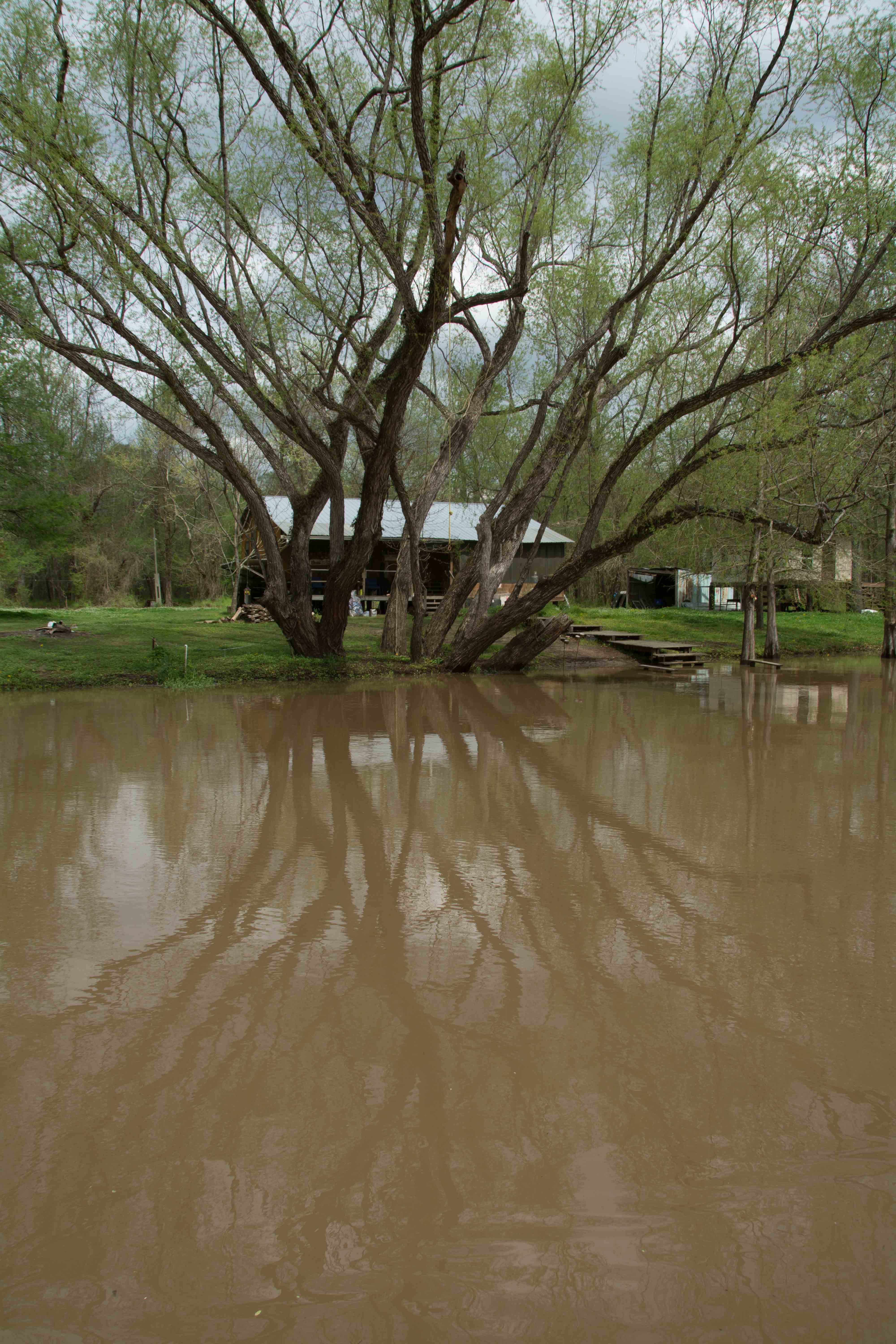
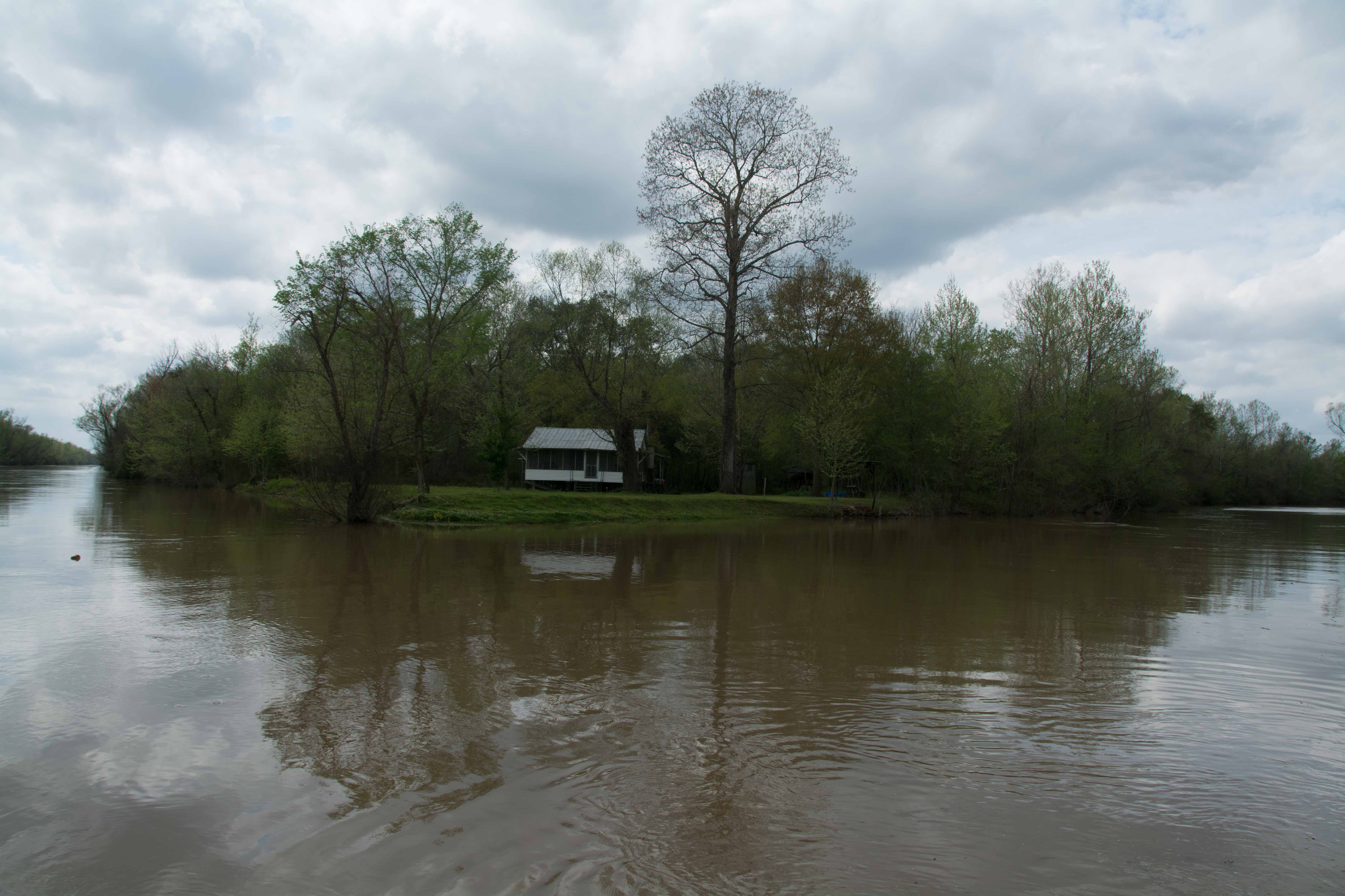
The wonderful thing about the Lower Miss is that it’s still wild!  You will see some industry and agriculture between Memphis and Helena, but for the most part your experience will be big water, big forests, big sandbars, big bluffs and big skies!  Does this sound like Alaska?  Or Lake Superior?  Or Puget Sound?  Yes — but it’s not.  It’s nothing but the muddy big river, the biggest river in North America, and the longest stretch of free-flowing waters in the Lower 48. 


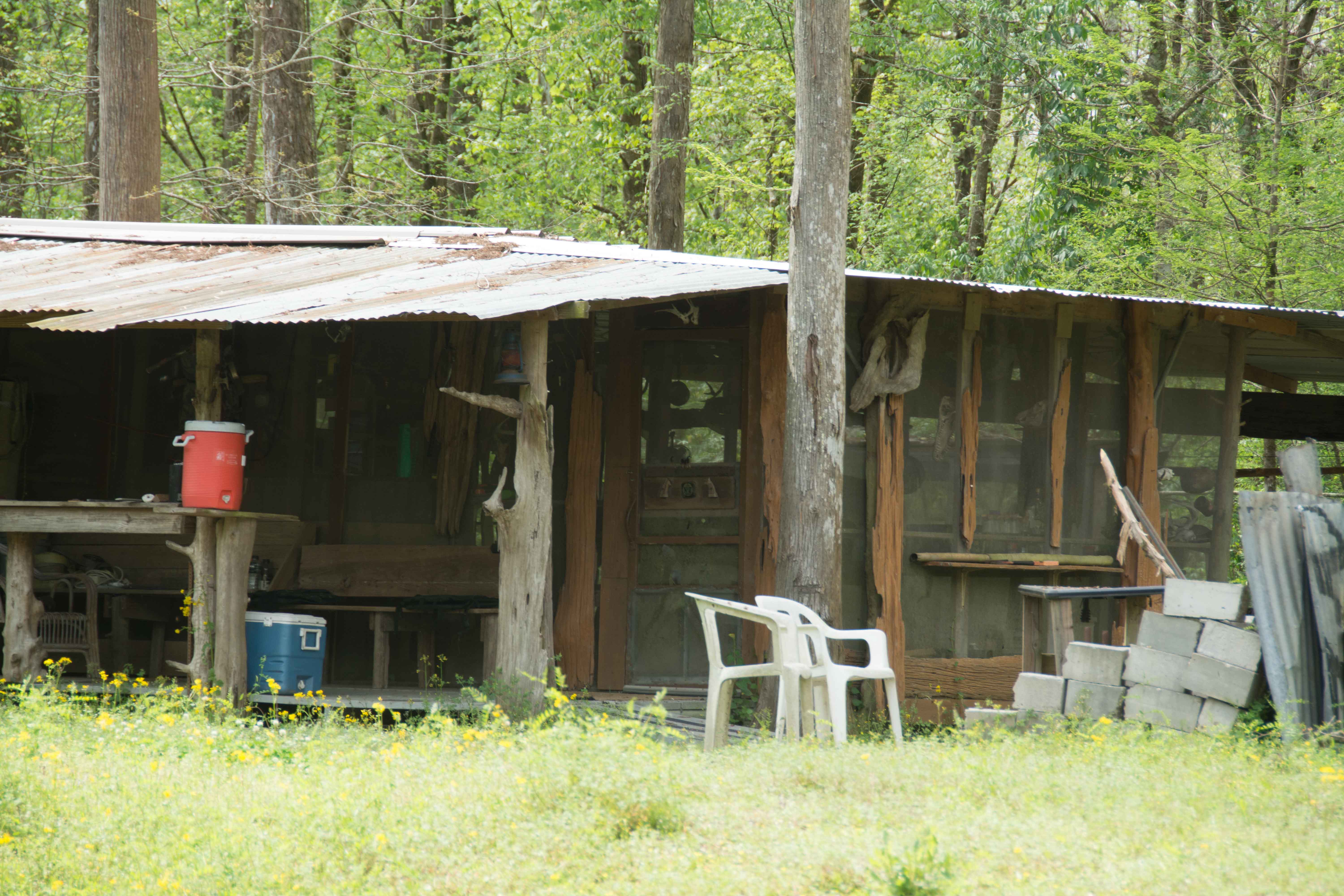
In this section the wild places include Mile 725 to 664, 61 Wild Miles from below Memphis Harbor to above Helena Note: Tunica River Park & Museum, Buck Island protected public-use island. Some casinos seen. Bright night lights from casinos. Lights of Memphis dimly seen along northern horizon. Casino section Mile 708-695 might need to be removed from Wild Miles.


If you chose the Atchafalaya route, keep on downstream past all of the various intake canals and prepare for mile 303.8 RBD to enter the Old River Lock and Dam.  After locking through you have a six-mile canal to paddle through, and then it’s all free flowing water down the lovely Atchafalaya.  Your journey will be blessed.  You will experience the route the creator seems to be striving for.  It’s always a blessing to go with the will of the creator!)

Warning: Stay away from Intake Canals!

Warning: do not attempt to follow any of the intake canals leading to the Old River Control Structures at the head of the Atchafalaya!  Very dangerous strong currents could suck you through the turbines or under the gates.  There is no open passage of free-flowing water.  Very turbulent water conditions are found around and within these intake canals, especially at high water.  Do not attempt to portage either.  You will likely be arrested by the USACE.

What are the Wild Miles?

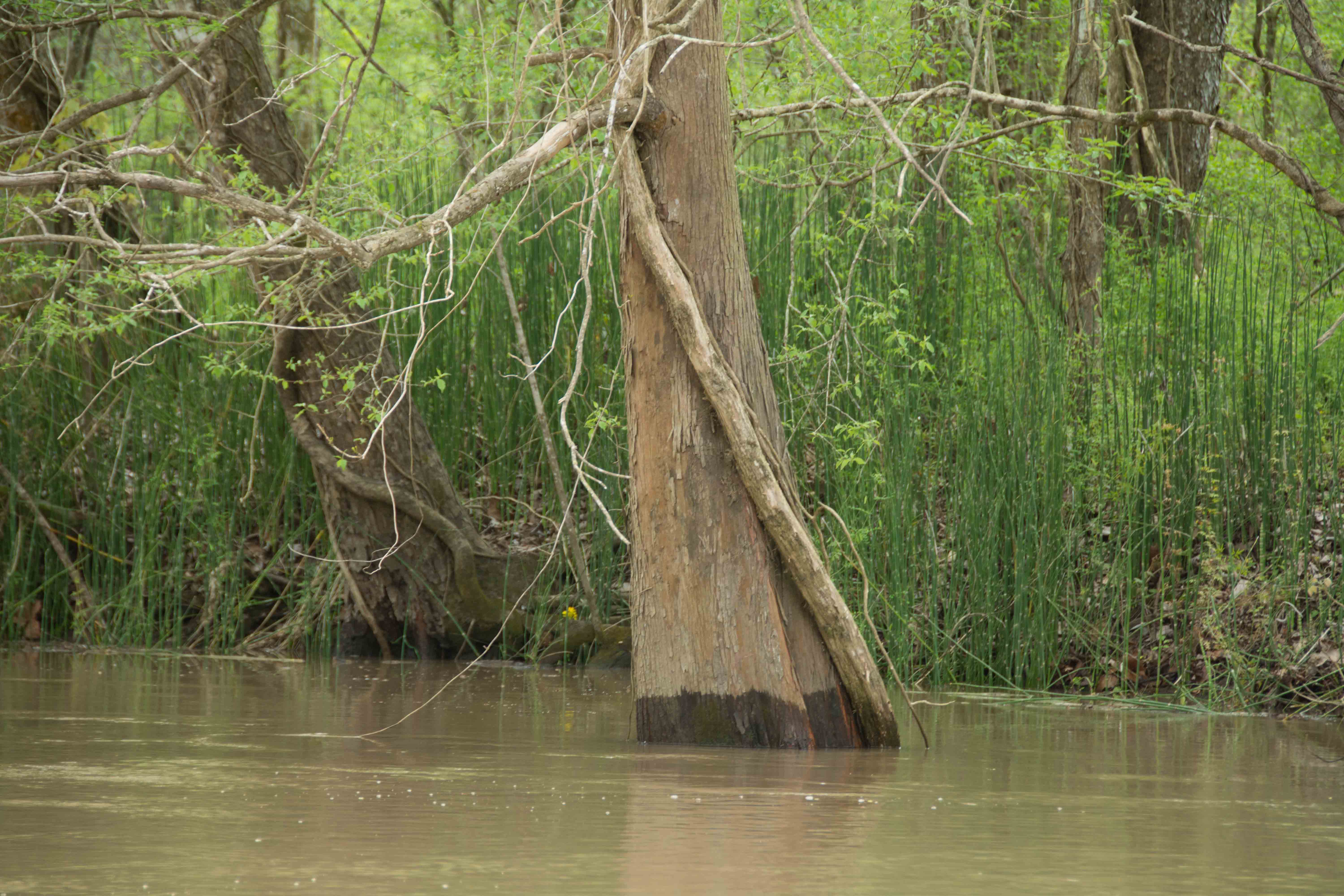
According to www.wildmiles.org there are 515 Wild Miles on the Lower Mississippi River between Cairo, Illinois, and Baton Rouge, Louisiana, which means that 71% of the scenery viewed from canoes or kayaks paddling down that stretch of river looks & feels “wild.”  Wild Miles are the places along the river where nature predominates and nothing is seen of mankind save passing tows (and other river traffic) and maybe a tiny hunting camp or a single fisherman buzzing by in a johnboat.  These are places where the landscape is filled with giant islands bounded by endless mud banks & sandbars, where the river is overseen by big skies and where the sun sets uninterrupted by buildings or wires and where big river predominates with creative wild beauty, each high water results in shifting sand dunes and re-made sandbars.  This is a floodplain valley where only deer & coyote tracks are seen along the sandbars and enormous flocks of shy birds like the white pelican and double breasted cormorant are comfortable enough to make landing for the night.  These are places where it’s dark & quiet at night, where the stars fill the skies like brightly shining jewels poured out on a dark purple velvet blanket, almost as thick & vibrant as the night skies of the Great Plains or Rocky Mountains.


America has an opportunity to find the “wilderness within” by recognizing and preserving the below Wild Miles in the center of the country, and it just so happens that the gigantic floodplain of the Mississippi creates these Wild Miles.  These places have been preserved mostly by neglect, by the power of the river, by its catastrophic rises & falls, and the danger of building anything within its floodplain.  Moreover, in light of recent flood cycles and the declining population of the lower floodplain, this area is receiving attention as one of the best places to restore native bottomland hardwood forests.  Restored forest creates habitat for wildlife, improved water quality, a buffer to flooding, and is an important means of reducing the Gulf of Mexico’s “dead zone,” caused by nutrient runoff into the river.  For this reason the recent efforts to reopen the New Madrid Birdspoint floodway would have a detrimental effect on the entire Lower Miss, at the very least in flood control.


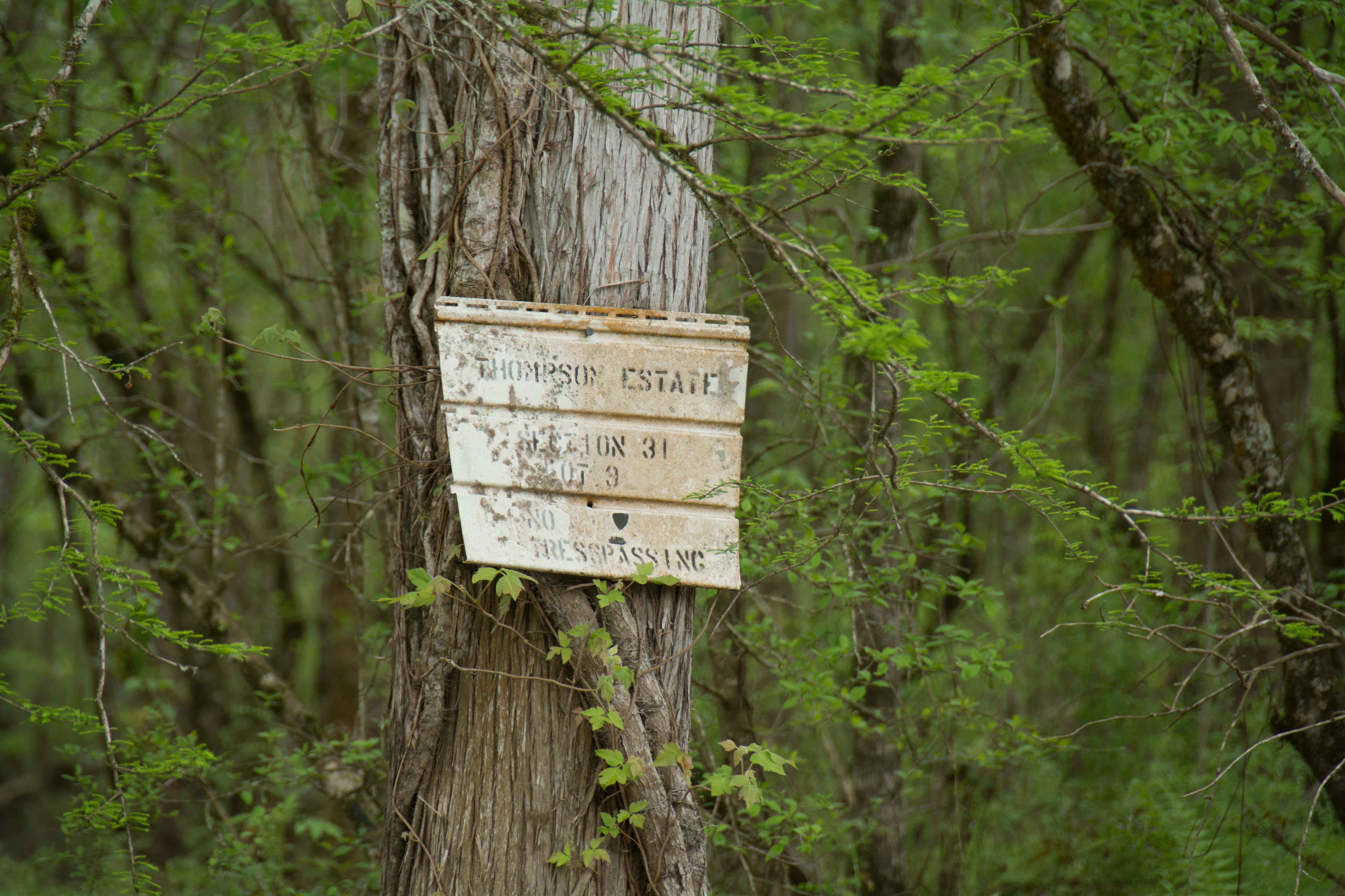
Developers: Instead of building any new sites within these Wild Miles, please consider placing new industry and agriculture construction outside the Wild Miles — and stay within those places already industrialized such as within one of the many harbors along the way, or building it far enough behind the levee that it won’t be seen or heard or be directly connected to the river.

Big Trees and Floodplain:

The lower Mississippi River Valley was historically a vast expanse of bottomland and adjacent upland hardwood forests with scattered openings primarily created by fire, beaver, or large flood events by the Mississippi River and its tributaries. These openings were generally comprised of herbaceous moist-soil areas that created excellent waterfowl and other wetland wildlife habitat or giant switchcane that was almost impenetrable and an extremely important habitat component for a variety of wildlife species. Once covering 22 million acres in the Mississippi River Alluvial Plain, bottomland hardwood forests have decreased in extent to only 4.9 million acres. Extensive clearing for agriculture (i.e. soybeans, corn, or cotton) and urbanization are two of the primary reasons giant bald cypress and oak trees of pre-settlement times no longer exist. However, giant bald cypress and oak trees characteristic of yesteryear can still be seen on some of these sections of the Lower Mississippi. 

Important Note to Paddlers:

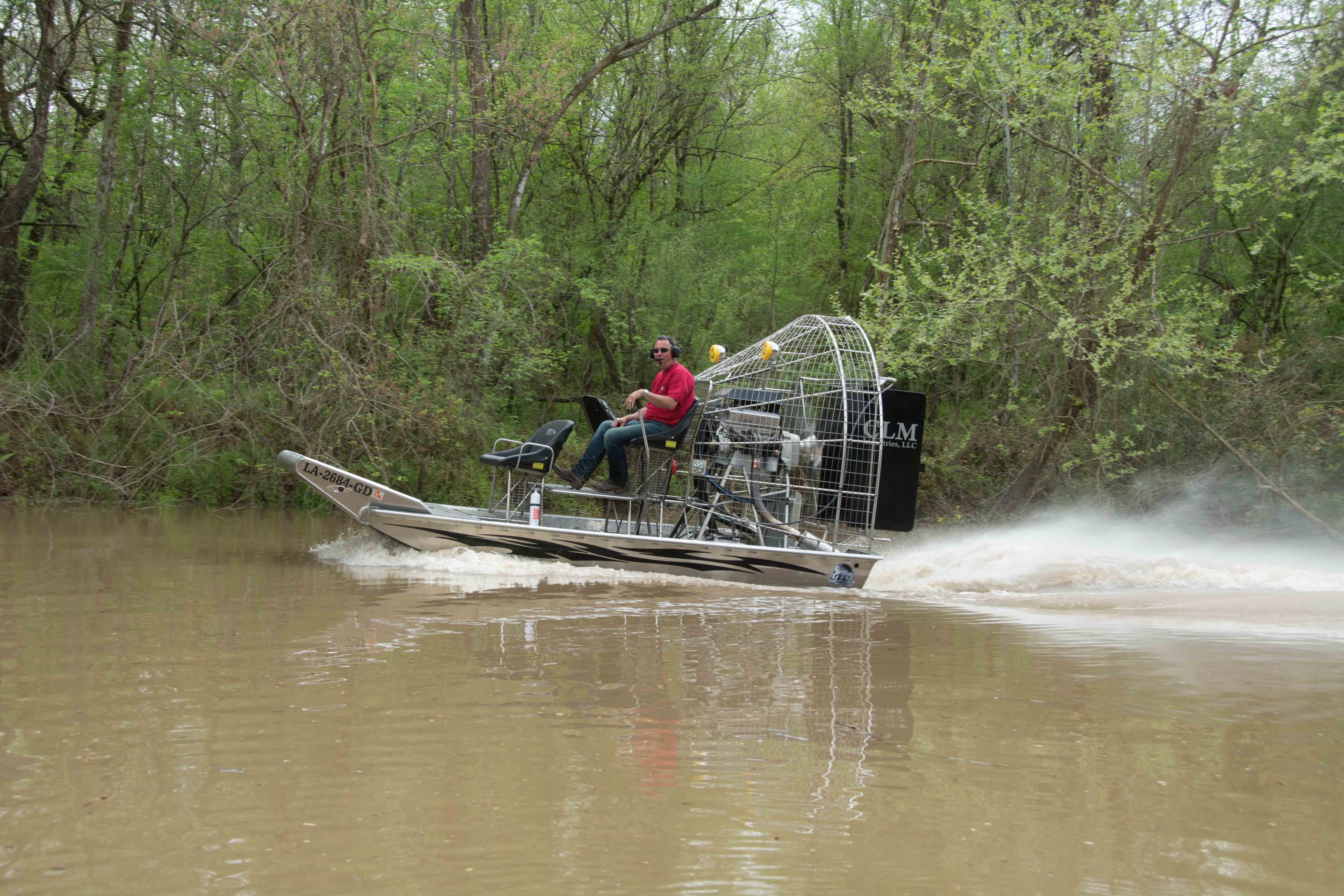
The Lower Mississippi is not for beginners, although there a couple of side channel places that beginners can get a taste of the big waters (in backwater places that open to the river such as Lake Centennial, Yazoo River, Claiborne County Harbor, and Bayou Sara — and other protected flat water places connected to the big river — see page “Beginner Paddlers on the Lower Mississippi River”).  Advance paddlers only in the main channel.  You should be capable of self-rescue, and you should have previous big river experience, in specific: large volume waters with long crossings and industrial traffic (towboats).  Your skills should include self-rescue, long ferry-crossings, paddling in the wind, paddling in the vicinity of towboats, paddling through violent boils, violent eddies, and large whirlpools.  Ultimately you must decide whether you are capable of safely paddling the big river, and whether you are capable of leading your family or friends on the same.  Be cautious.  Take your time.  Swallow your ambition and pride.  Impatience has been the root cause of most problems encountered by Lower Mississippi River paddlers.  Enjoy the moment, not the destination. Turn around if you aren’t sure or aren’t prepared.  Use the Rivergator Safety section to assess specific skills and recommendations.  Check the river levels and weather forecast with special attention to wind speed and direction.  Carry extra food, water, and all-weather protection.  Wear wetsuit or dry suit in cold water seasons (November through April).  Carry cell phone and VHF Marine radio.  Carry an extra paddle and leave a route plan with someone on shore.  Large groups can notify the Coast Guard who will keep the towboat pilots informed of your progress.

Leave A Comment

SECTION MILE ACCESS CITY
Middle Mississippi & Bluegrass Hills / Bootheel 195-0, 954-850 ST. LOUIS TO CARUTHERSVILLE
Chickasaw Bluffs 850 – 737 CARUTHERSVILLE TO MEMPHIS
Upper Delta 737 – 663 MEMPHIS TO HELENA
Middle Delta 663 – 537 HELENA TO GREENVILLE
Lower Delta 537 – 437 GREENVILLE TO VICKSBURG
Loess Bluffs 437 – 225 VICKSBURG TO BATON ROUGE
Atchafalaya River 159 – 0 SIMMESPORT TO MORGAN CITY
Atchafalaya Upper
Consider The Atchafalaya  
The Atchafalaya  
Alternate Route To The Gulf Of Mexico: The Atchafalaya River  
Big Geography Geography  
Atchafalaya Exit  
Intro: Atchafalaya River  
The Atchafalaya River: Best Route To The Gulf  
Best Water Levels To Paddle To The Gulf  
Traffic And Industry On The Atchafalaya  
NOTE TO PADDLERS:  
Who Is The Rivergator Written For?  
Reading The Rivergator:  
Panel Of Experts:  
Wild Miles:  
Warning: Stay Away From Intake Canals!  
What Are The Wild Miles?  
Big Trees And Floodplain:  
Important Note To Paddlers:  
Your Route: Main Channel Vs. Back Channel  
The Atchafalaya Split  
Maps And Mileage  
USACE 2012 Atchafalaya River And Outlets To Gulf Of Mexico  
Louisiana Geological Survey Atchafalaya Basin Map  
Maps Of The Atchafalaya Delta  
River Speed and Trip Duration  
Dangers Of Paddling Through Morgan City  
Expert Paddlers Only!  
Wind Direction And Speed  
Atchafalaya Delta Tides  
Tidal Influence:  
Estimate Your Camp Height  
Tidal Coefficient  
Tides In Rivers  
Tidal Bore  
Water Speed In The Passes  
Which Pass?  
Wax Lake Outlet: Alternate Route To The Gulf  
Shell Island Pass  
Location Island Pass  
Amerada Pass  
Main Channel: Melanie Island  
The Joy Of Reaching The Gulf  
Camping On The Gulf At The End Of The River  
The Best Gulf Beaches  
Open Water Of The Gulf?  
Some Helpful Hints:  
Getting Back To Land  
Getting Back  
Upstream Paddling  
What Do You Do Now With Your Vessel?  
LiNKS = Leave No Kid On Shore  
Atchafalaya Basinkeeper  
Bayou Teche Experience  
Bayou Sara kayak Rental  
Pack & Paddle  
Services For Lower Mississippi River Paddlers  
Lower Mississippi And Ohio River Forecast  
Reading Google Maps  
Lower Mississippi River Mileage  
Rivergator  
Towboat Protocol  
What To Pack:  
Atchafalaya Swamp Pack List:  
Primitive Camping In The Marshes & Swamps  
Biting Bugs  
Poison Ivy  
Can You Drink The Water?  
Where Do You Go? (To The Bathroom?)  
Water Quality  
The Atchafalaya Basinkeeper  
The Lower Mississippi Riverkeeper  
Environmental Reporting Phone Numbers:  
Maps And Mileage  
Louisiana Geological Survey Atchafalaya Basin Map  
Atchafalaya River Boat Ramps (Functional Jan 2016)  
River Gages  
Best Water Levels To Paddle To The Gulf  
What Do You Do Now With Your Vessel?  
LiNKS = Leave No Kid On Shore  
Left Bank And Right Bank  
Towboats And Buoys  
VHF Marine Radio  
Resources  
Cajun Culture And The Atchafalaya Wilderness  
SOLA Coffee Companies  
How To Brew A Great-Tasting Pot Of River-Rat Coffee  
The Atchafalaya  
A Note On Mileage  
A Note On Pronunciation  
Where To Start Your Atchafalaya River Expedition  
Leaving The Mississippi River  
Mississippi River Maps And Mileage  
NATCHEZ GAGE (NG)  
WATER LEVELS AND DIKES  
USING THE NATCHEZ GAGE:  
Three Inflow Openings At Old River  
Warning  
Old River Control Structure: 3 Inflow Channels  
316.3 RBD Hydro Inflow Channel
313.7 RBD Knox Landing
311.7 RBD Auxiliary Intake — Old River Control Structure
316.3 RBD Hydro Intake — Old River Control Structure
Short History Of The Old River Control Structure  
314.6 RBD Main Intake — Old River Control Structure
313 LBD Buffalo River
Clark Creek Natural Area  
311.7 LBD Clark Creek
311.7 – 310 LBD Tunica Hills Below Clark Creek (Mississippi Loess Bluffs ##6)
311 – 309 RBD Point Breeze
310.2 LBD Wilkinson Creek
306 LBD Welcome To Louisiana!
306 – 294 LBD Angola State Penitentiary
306 LBD Angola Ferry
304.5 – 303 LBD Shreve’s Bar
306 – 302 Back Channel Of Shreve’s Bar
306 – 302 Main Channel Of Shreve’s Bar
303.8 Old River Lock And Dam: Entrance To The Atchafalaya River
Leaving The Mississippi Towards Lock & Dam  
The Atchafalaya River: Best Route To The Gulf  
How Does A Lock & Dam Work?  
Contact Lockmaster  
Safe Paddling Through A Lock & Dam  
Lock Signals  
Inside The Lock Chamber  
Order Of Locking Through  
Mileage Down Lower Old River Channel  
6.9 RBD Three Rivers Junction
Red River  
Three Rivers WMA And Red River NWR  
Atchafalaya – A Modern History  
Atchafalaya Lower
Atchafalaya River Basin Biotas  
A Lived-In Landscape  
Atchafalaya Mileage  
RBD = Right Bank Descending, LBD = Left Bank Descending  
Gas Pipelines  
Simmesport Gage (SG)  
Water Levels According To The Simmesport Gage  
Maps And Mileage  
USACE 2012 Atchafalaya River And Outlets To Gulf Of Mexico  
Louisiana Geological Survey Atchafalaya Basin Map  
0.1 LBD Three Rivers Landing
1.4 LBD Small Dune
1.9 RBD Coville Bayou
3.4 LBD Bayou Coteau
4.5 Simmesport KCS Railroad Bridge
4.6 LBD Simmesport Sand Dune
4.8 LBD Kuhlman Bayou
5.5 Simmesport River Park
Simmesport, Louisiana  
Canadaville, Louisana  
9 – 11 RBD Odenburg Island Dikes
12.5 LBD Marine Bayou
13 – 20 Atchafalaya Squiggles
13.2 RBD Porcupine Point
14.5 LBD Cypress Point
14.5 RBD  
14.7 RBD Small Dunes
15.5 Primitive Boat Ramp (Private)
16 RBD Eddy Dune
16.5 RBD Trash Site
17 – 18 RBD Hick’s Landing/Gordon Point
18 – 20 LBD Bayou Point
Borrow Pits And Blue Holes  
20.5 LBD Small Sandy Shelves
20 – 25 Bayou Current To Elba Landing
22 RBD Cell Tower
22.2 LBD Small Hump Of Sand
23.4 RBD Barberton Landing
25.1 RBD Elba Landing
26.1 RBD Small Bluff Of Sand
26.2 LBD Broad Sandy Shelf
26.3 RBD Old Channel Of Bayou Rouge
27.1 LBD Point Coupee/Bayou Latenache Pumping Station
27.1 Morganza Floodway – North End
28.1 Underwater Pipeline Crossings
28.2 Aerial Pipeline Crossing
29.6 Melville Union Pacific Railroad Bridge
29.7 RBD Melville Boat Ramp (Primitive)
29.8 LBD Melville Ferry Barge East Bank Landing
30 – 40 Melville To Krotz Springs
31 LBD Broad Bay
31.5 LBD Cross Bayou
31.7 LBD Open Field Cow Pasture
32.5 LBD Cross Bayou Point (Owl Hoot)
35.6 LBD Small Sandbar
36 – 37 RBD Sandy Landings
37.1 RBD Cell Tower
39.7 LBD Bayou Sherman Point
Atchafalaya Basin Pack List For Swampy/Marshy Camp Sites  
Switching To The KROTZ SPRINGS GAGE (KG)  
Water Levels According To The Krotz Springs Gage  
38.5 – 42.7 Krotz Springs Utility Crossings
39.3 Water Drainage Structure: Origins Of The Teche River
39.5 RBD Cell Tower
39.6 LBD High Sand Dune
40.3 RBD Gravel Landing
40.3 Wire Suspension Bridge For Pipeline
41 Krotz Springs US Hwy 190 And 71 (2 Bridges)
41.5 Krotz Springs Union Pacific Railroad Bridge
42.3 RBD Krotz Springs Boat Ramp
Krotz Springs History  
42.5 RBD Port Of Krotz Springs
Krotz Springs To The Split  
Atchafalaya National Wildlife Refuge  
44 Sherburne Bend
44.5 RBD Frank Diesl Point
44.9 LBD Small Sand Dune
46.1 RBD Bayou Big Graw Boat Ramp
49.3 RBD Bayou Courtableau
49.7 LBD Coswell Point
51 RBD Courtableau Point
54.2 LBD End Of The East Bank Levee
55 LBD Atchafalaya NWR Boat Ramp
55.1 Two Blue Holes
55.4 LBD Alabama Point
56.4 RBD Old Atchafalaya Point
56.4 The Atchafalaya Split
Whiskey Bay Pilot Channel  
59.8 I-10 The Atchafalaya Basin Bridge
60 RBD Sand Dune
60.5 Union Texas Petrochemical Aerial Crossing
61.7 LBD Bayou Des Glaises Boat Ramp (Primitive)
62.3 LBD Bayou Des Glaises
66.4 RBD Splice Lake
66.7 LBD Pat’s Throat
68 RBD Willow Point
68.5 LBD Blue Heron Point
70.9 LBD Upper Grand River
73.4 LBD Little Tensas Bayou
75.3 LBD Texaco Resources Dock
75.5 RBD Splice Island (Bottom End)
Primitive Camping In The Marshes & Swamps  
75.7 LBD Jake’s Bayou
75.8 Three Major Pipelines
76.4 LBD Lake Mongoulois Point
77.2 RBD Bayou Chene
79.9 Tarleton Bayou
81.2 LBD Bayou Sorrel
81.2 LBD Bayou Sorrell: Alternate Route Down The Atchafalaya
3 Days On Dean’s Route  
East Grand Lake  
82.4 LBD Bee Bayou
82 – 99 Chicot Pass
83 Pipeline Tailings
83.2 Philip’s Canal
85.7 RBD Danbury Management Corp Dock
86.2 RBD Canal Entrance
86.8 RBD Canal Entrance
88.1 RBD Canal Entrance
89.7 RBD Pipeline Canal
91.2 Texas Gas Transmission Co. 12″ Gas Pipeline
Attakapas Island Wildlife Management Area  
95.4 LBD Blue Hole
96.1 Texas Gas Transmission Co. 12″ Gas Pipeline
96.7 Old Pipeline Canal
97.3 Louisiana Intrastate Gas Corp 4″ Gas Pipeline
98.2 RBD Myette Point
MORGAN CITY GAGE (MCG)  
Water Levels According To The Morgan City Gage  
Tidal Influence  
Estimate Your Camp Height  
100.2 LBD Blue Hole Landing
102 RBD Sixmile Lake: Access To Wax Lake Outlet
Wax Lake Outlet: Alternate Route To The Gulf  
Paradise Regained: The Wax Lake Delta  
103.8 LBD Narrow Bayou Leading To East Grand Lake
105 LBD Blue Point Chute: Shortcut To Cypress Wonderland
107.9 Exxon Gas Transmission Company 20″ Gas Pipeline
108.3 RBD Shortcut To Sixmile Lake
109 RBD Cypress Pass Back Channel
109.5 Duck Lake Channel
Duck Lake  
Many Rivers To Follow  
111.7 RBD Lower Atchafalaya River
111.7 RBD Riverside Pass
112.5 RBD Three Island Pass
113 RBD Little Island Pass
Main Channel Atchafalaya River  
115.1 American Pass
115.8 LBD Pipeline Canal To Dog Island Pass And Flat Lake
Flat Lake  
115.8 – 119.8 LBD Drew’s Island
117 RBD Stouts Point
119 Drew’s Pass
Dangers Of Paddling Through Morgan City  
Waves  
Small Tows In Harbors  
Towboats Vs. Tugboats  
Stay Off The River In Fog  
Fleeted Barges  
Buoys And Other Hazardous Stationary Objects  
119 LBD Swiftships Boat Yard
119.5 RBD Bayou Teche (Berwick) Lock & Dam
119.5 RBD Bayou Teche Water Trail
121 Morgan City US Hwy 90 Bridge
121.2 LBD Morgan City Downtown Landing
Morgan City  
121.3 Morgan City Texas And New Orleans Railroad Bridge
121.4 RBD Berwick Public Boat Ramp
121.4 LBD Mr. Charlie: The International Petroleum Museum
Intro: Morgan City To The Gulf Of Mexico  
Maps Of The Atchafalaya Delta  
Best Water Levels To Paddle To The Gulf  
Morgan City Gage (MCG)  
Water Levels According To The Morgan City Gage  
Flood Stage Warning:  
Weather And Tides  
Check The Winds And Weather  
Tidal Influence:  
Estimate Your Camp Height  
121.5 LBD Gulf Intracoastal Waterway (East)
121.7 – 130.3 Bateman Island
Pipelines And Electrical Lines  
124.2 RBD Berwick Intracoastal Waterway Boat Launch
124.2 RBD Gulf Intracoastal Waterway (West)
124.5 RBD Gulf Intracoastal Waterway Point (South Side)
Atchafalaya Delta Navigation Channel Buoys  
126-127 LBD Outside Bend Highground
127.4 Bateman Island Point And Bend
127.5 – 128 RBD Cypress Forests
128 – 131 LBD Sweetbay Lake
131 LBD Access To Bayou Shaffer Via Sweetbay Lake
131 RBD Glass Island
Night-Time Sky In The Atchafalaya Delta  
131.8 – 132 LBD Stands Of Young Cypress Trees
134 RBD Sandy Willow Spit
134 LBD Avoca Island Cutoff
135-136 LBD New Dike Wall
135-138 LBD New Navigation Channel Around He Avoca Island Bend
136 – 137 Sandy Marsh Island
137.8 RBD Shell Island Pass
Gulf Route: Crossing Over To The Wax Lake Delta  
Atchafalaya Delta Wildlife Management Area  
138.5 LBD Low Lying Muddy/Sandy Beach With Willows
139.1 LBD Small Shell Beach
140 LBD Deer Island
140.5 RBD Breaux’s Pass
140.2 LBD Location Island Pass
142.2 LBD East Pass
144.2 RBD Amerada Pass
144.2 RBD Willow Island
144.3 LBD God’s Island
144.8 RBD Log Island Pass
145.4 RBD Yvette Island
146 RBD Melanie Island
148.5 RBD Donna Island
150.5 RBD Eugene Island
151.5 LBD Bird Island East
Pount Au Fer/Raqet Pass  
Getting Back To Land  
Atchafalaya Delta WMA Campground  
Wax Lake Delta Passes  
Getting Back  
Upstream Paddling  
What Do You Do Now With Your Vessel?  
LiNKS = Leave No Kid On Shore  
Louisiana Delta 229 – 10 BATON ROUGE TO VENICE
Birdsfoot Delta 10 – 0 VENICE TO GULF OF MEXICO