The Lower Mississippi River Water Trail
When to stay on shore
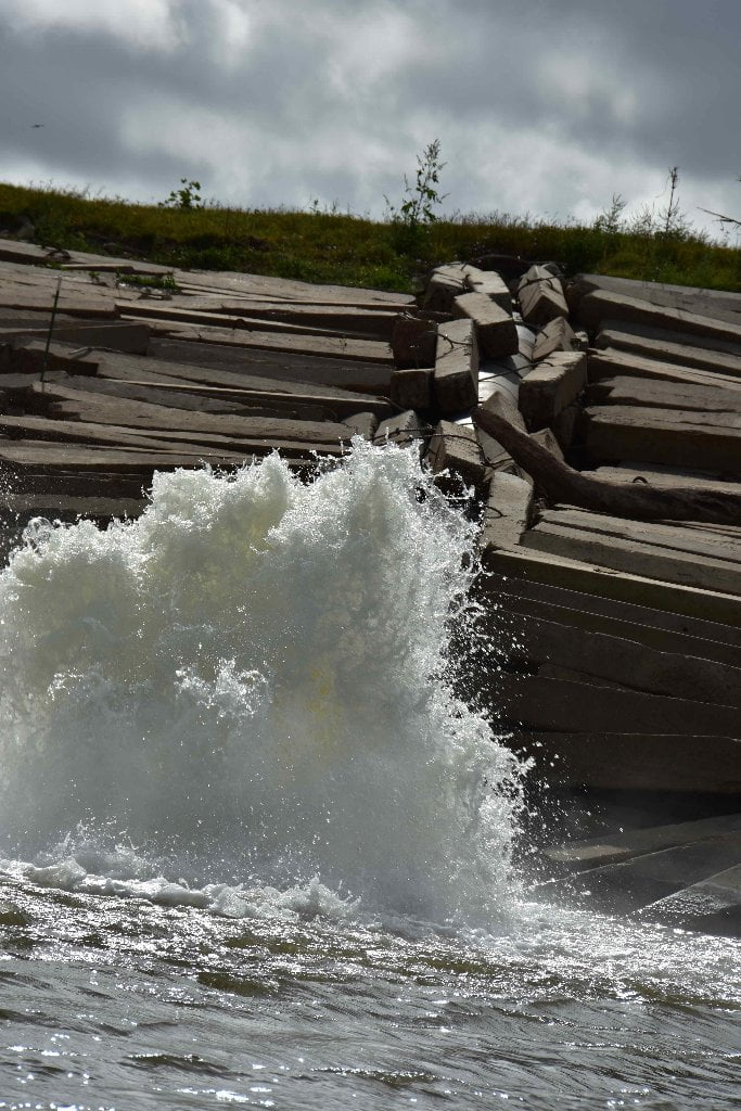
As always, impatience is your worst enemy on the river. Stay on shore and await a change in the weather if any of the following conditions apply: (a) If the wind is blowing 15mph or higher from any southerly or easterly quadrants, or 20mph or higher from any other quadrant; (b) if you have three hours or less before sunset; or (c) if you are not feeling good about things (sailor’s sixth sense). Don’t allow complicating factors to get in the way of safe travel and making good decisions. Get a good night’s sleep and enjoy a full breakfast before departure. Inspect your vessel to be sure it’s in top shape and will not surprise you with any compromises in the middle of the river. Make sure you are in good communication with everyone in your party. Settle any differences. Do not let any grievances leave shore. You need to be in your best shape possible, physically, mentally and spiritually, to safely navigate what lies below you downstream in Chemical Corridor.
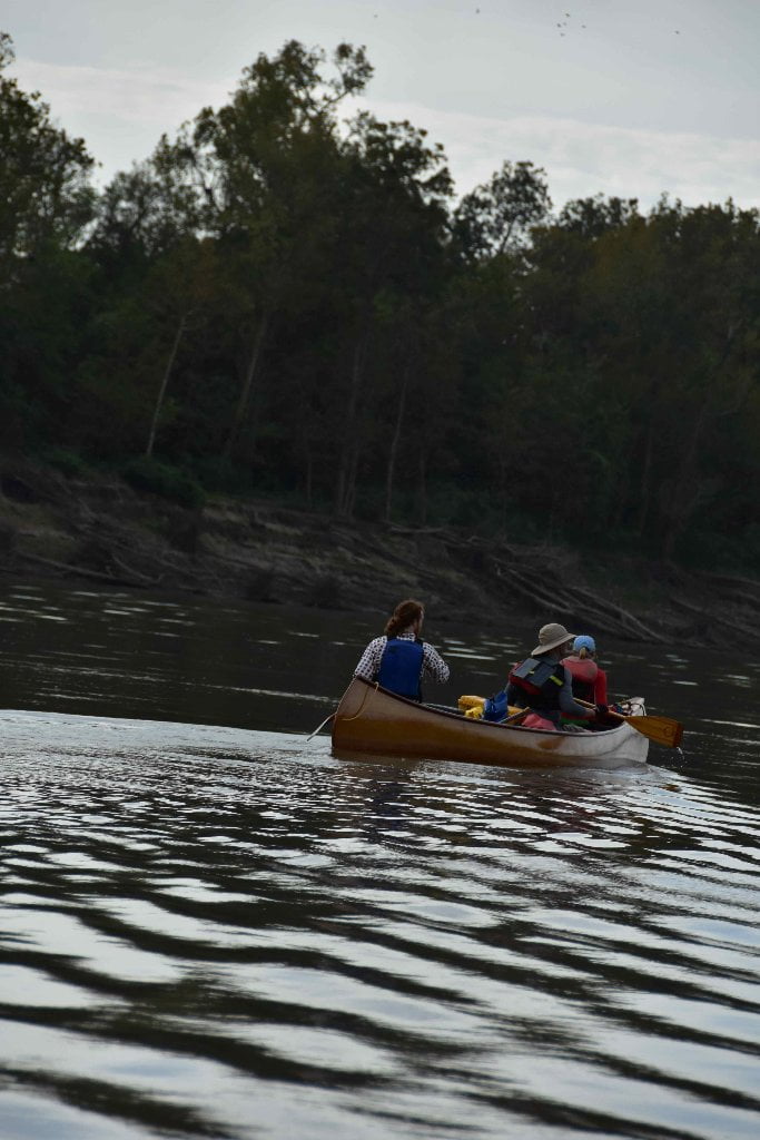
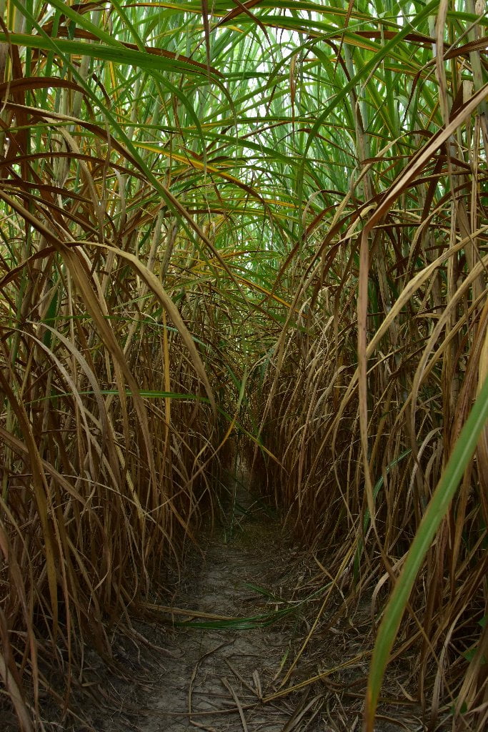
Stepping Stones of Wilderness
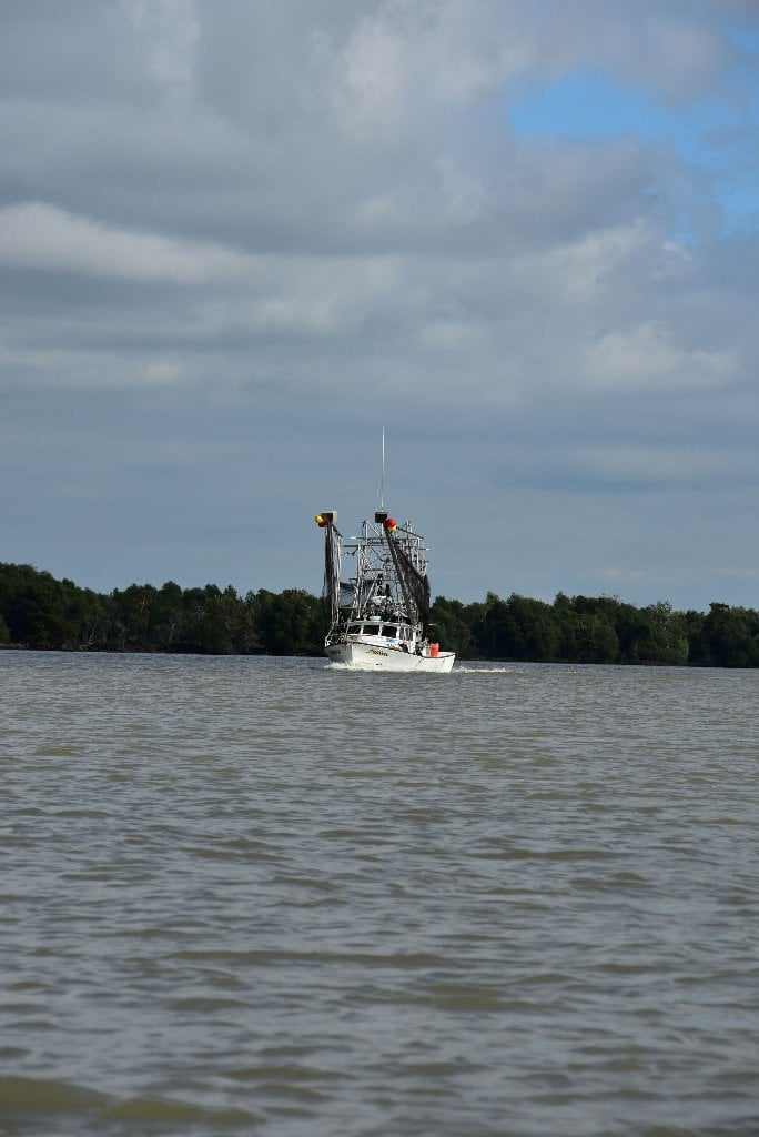
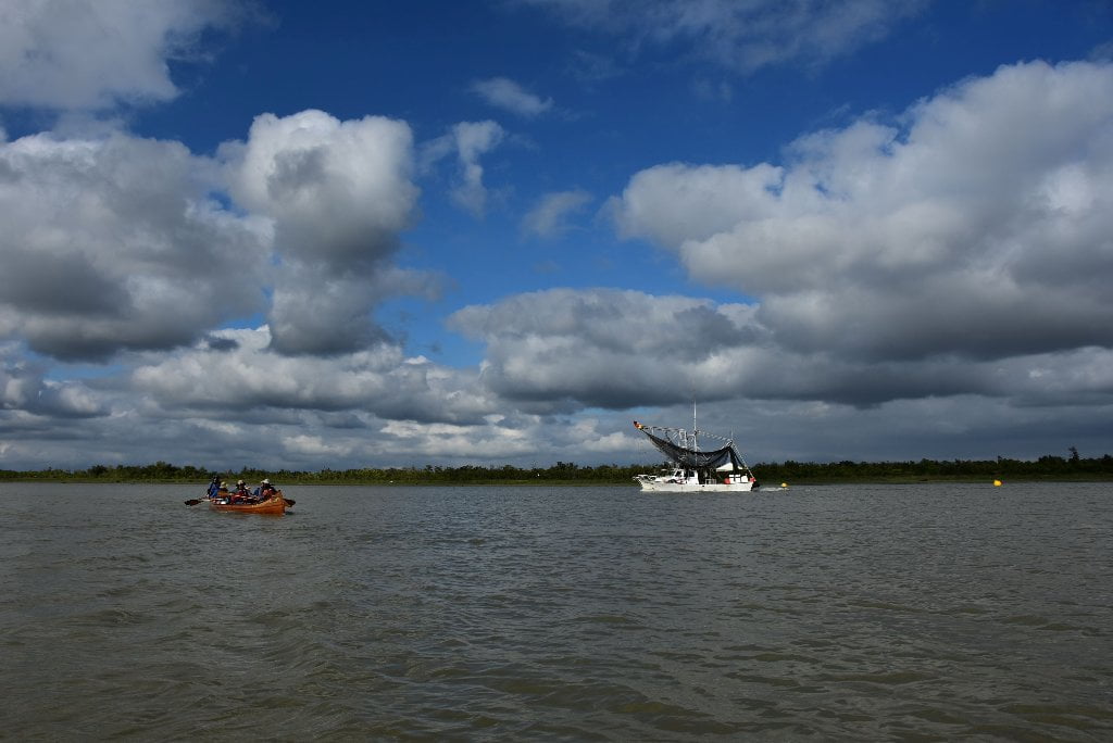
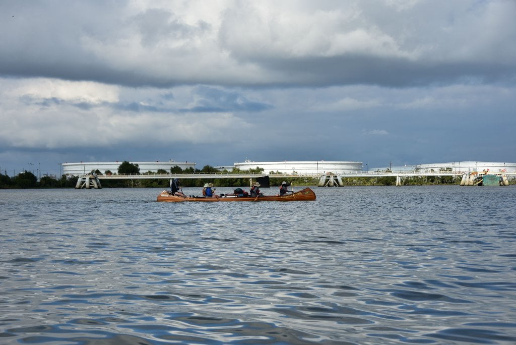
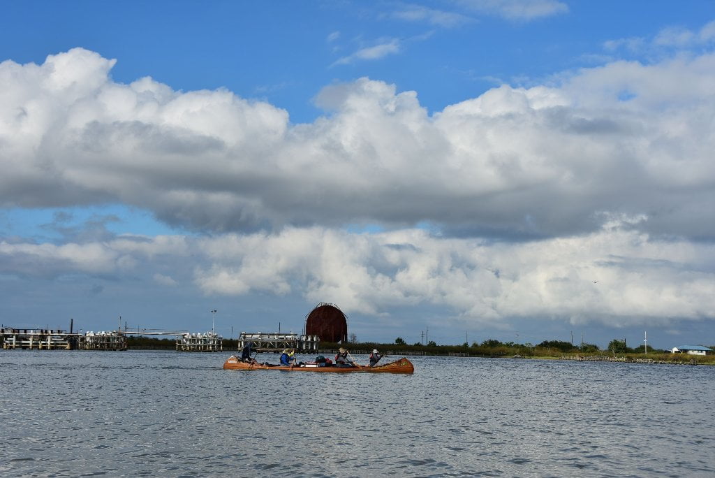
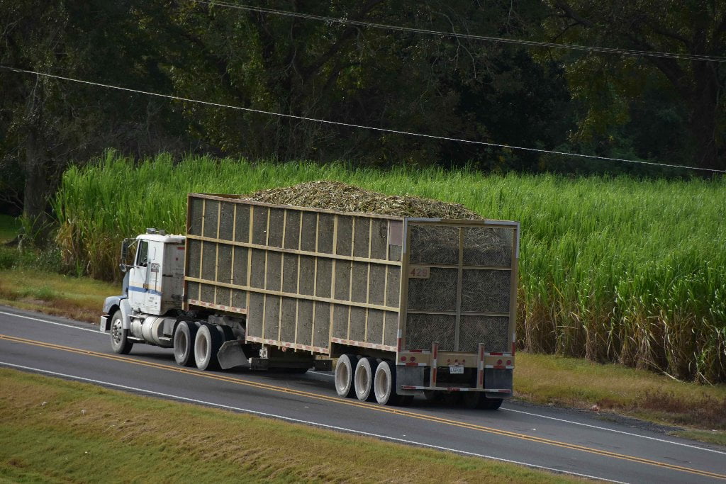
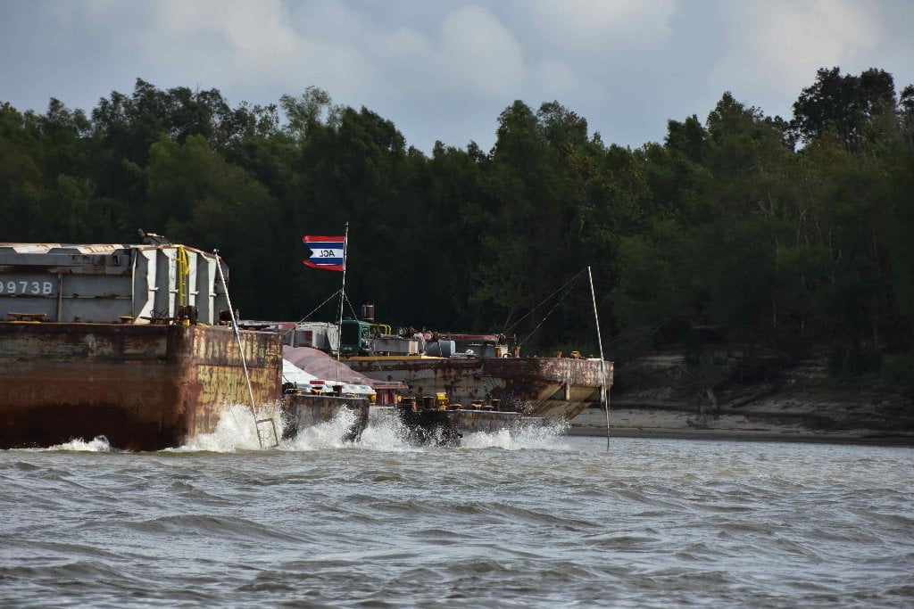
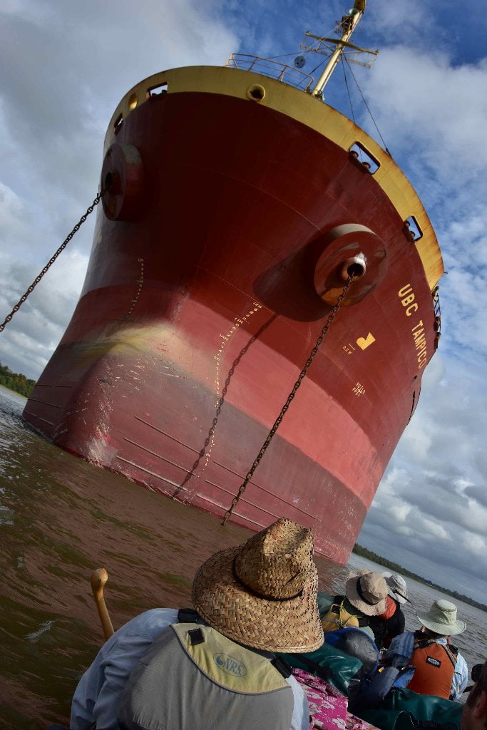
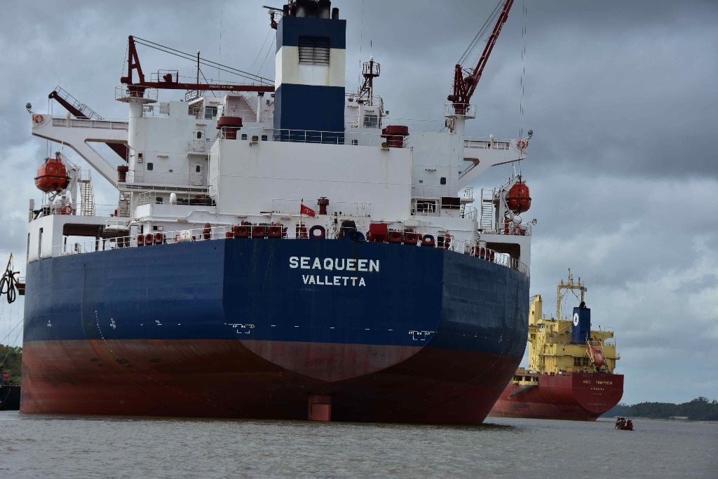
The first time you paddle Chemical Corridor you might easily be overwhelmed by the vast profusion of industry, day in and day out for 2 weeks of paddling, so much so that the refineries and granaries and power plants and scrap steel and dry bulk docks and anchored freighters and fleeted barges all become a blur highlighted by the one or two peaceful places, and maybe a quick stop to the St. Louis Cathedral or Cafe Du Monde in the French Quarter. If you can, dear paddler, slow down a little and take your time both preparing for this stretch of river and for the actual paddling of it. As with many places along the Lower Mississippi, the more you focus on the little details surrounding you, the more you see, and the more you appreciate the experience. You will find that the industry comes and goes, and is broken by some sparkling pockets of woods and sandbars in between that taken together become a series of stepping stones of wild places that you can find and make use of to ease the pain of the paddling, and the confusion of modern industrial America.
Green Spaces
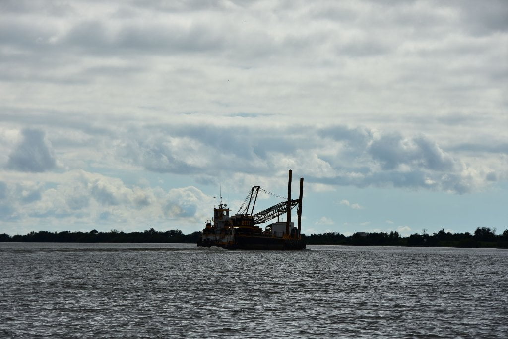
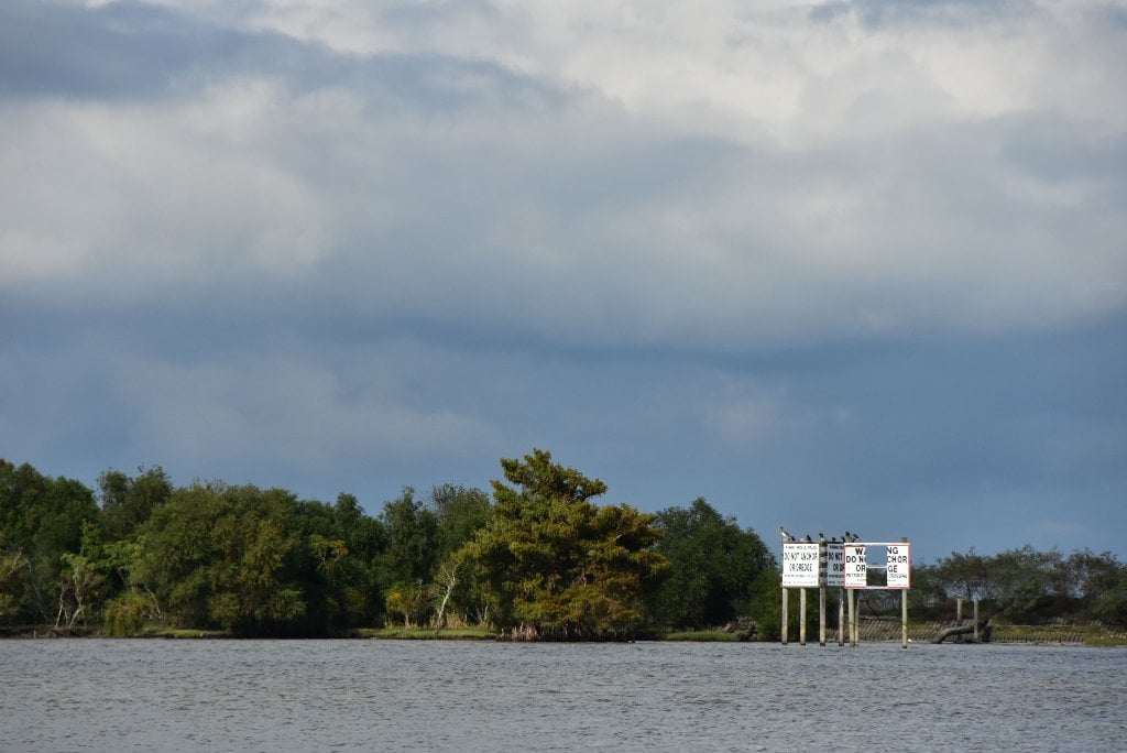
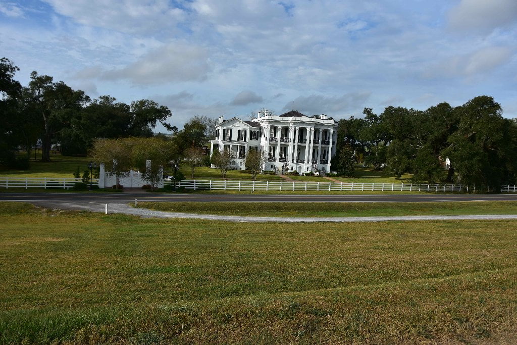
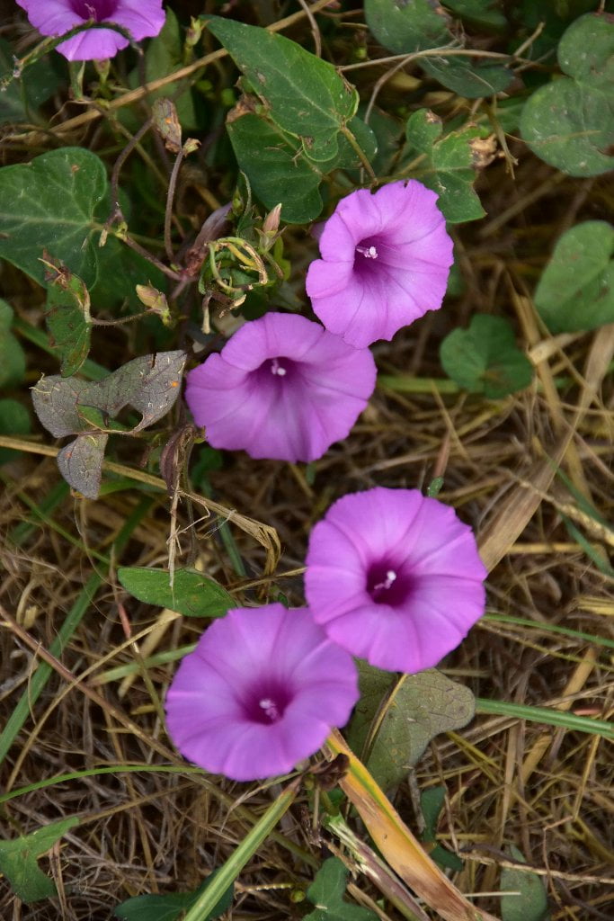
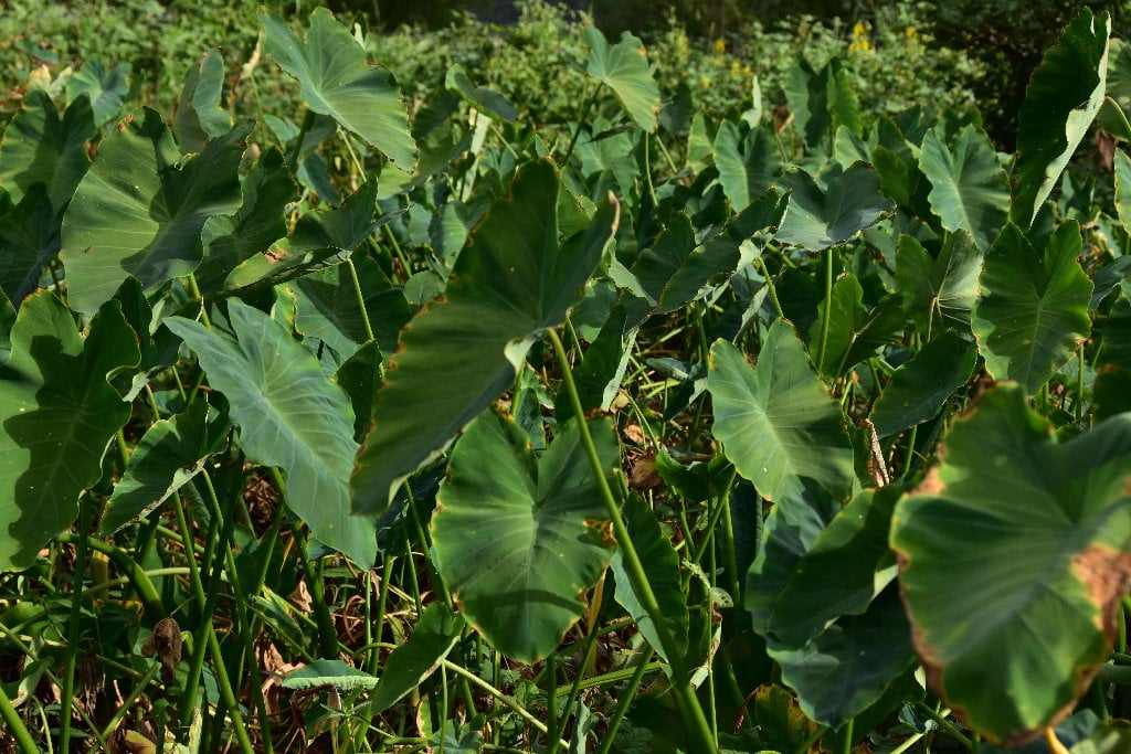
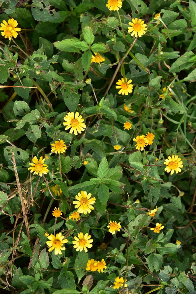
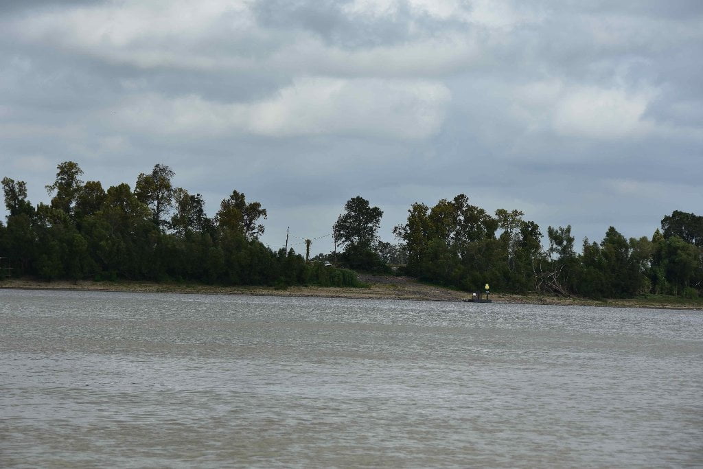
Even though you are paddling into Chemical Corridor, home to over 200 petrochemical plants in 135 miles of river, producing 25% of America’s chemicals, the intense industry is broken by pristine sandbars, islands, forests, and other places of great beauty. One of the primary goals of the Rivergator to identify these places and describe them for you to help make your journey as comfortable and enjoyable as possible. These places seem all the more special because of their location within the chaos of the petrochem industry. The largest of these wild refuges we are calling “Green Spaces.” Each will receive lengthy descriptions to help you access and appreciate. The first of these Green Spaces is not far downstream of Baton Rouge at wild Manchac Point.
Green Spaces are green places interconnected by the river. Green Spaces are modest acreages of wetlands, woods or islands. They might not have great value when considered in isolation. But connected by the river to other Green Spaces they create substantially larger spaces of green, which means cleaner drinking water and better water levels for navigation and industry. These green connections are of great value to the wildlife and overall health of the ecosystem. Green connections multiply life-saving factors such as migration, procreation and food, the sum of which is much greater than the parts. This ultimately results in a healthier river. We need to recognize and protect these Green Spaces because they help bring better and cleaner drinking water to New Orleans, and all communities below Baton Rouge. More Green spaces means better water levels, which means more productive industry, which results in more jobs. Green Spaces are win-win-win! River, humans, wildlife. We all win. These Green Spaces can be clearly seen on Google Earth.
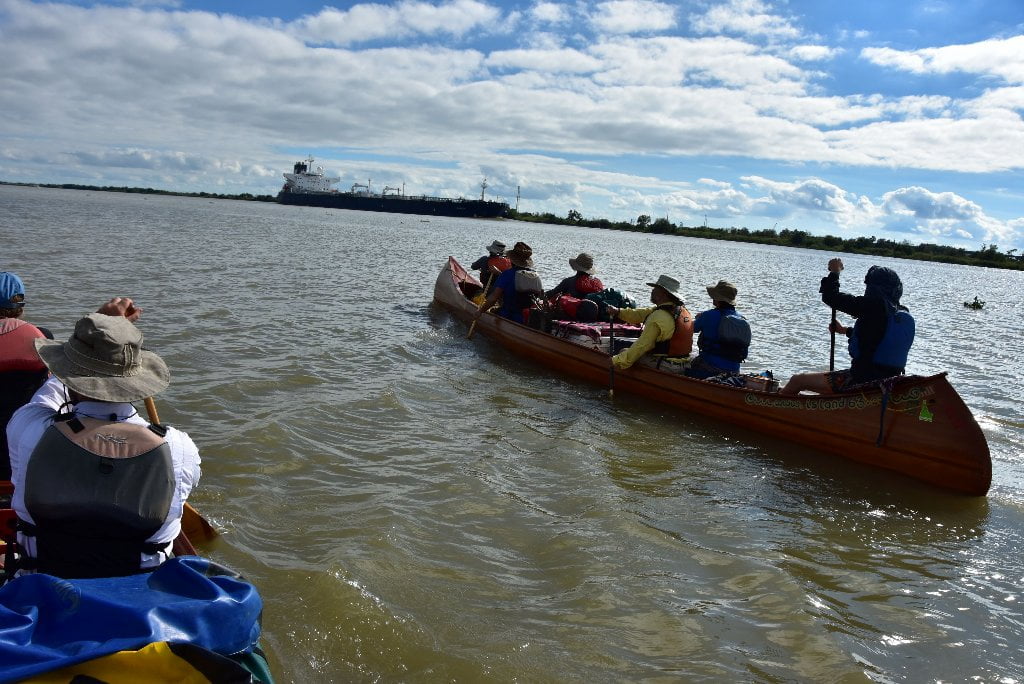
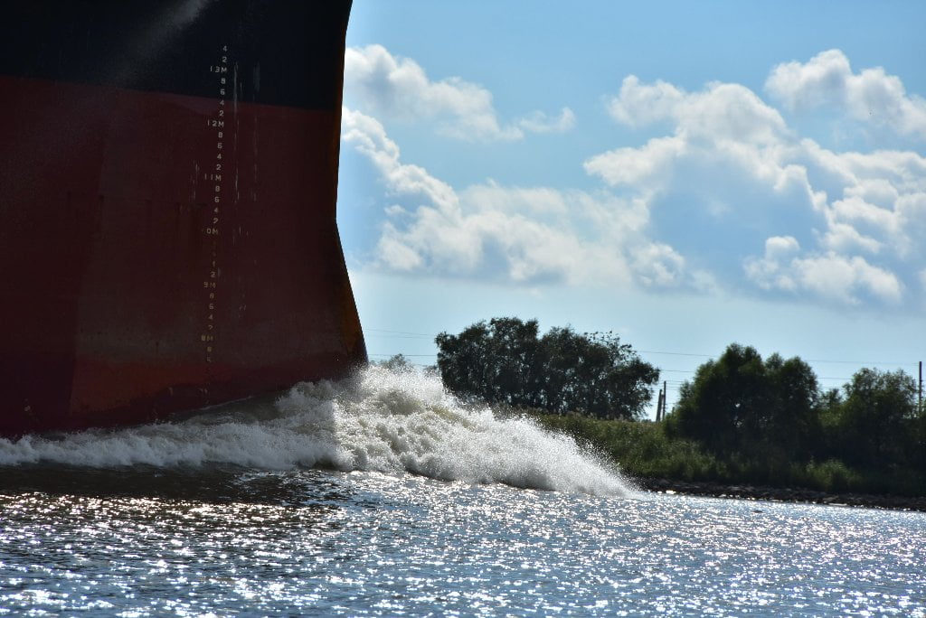
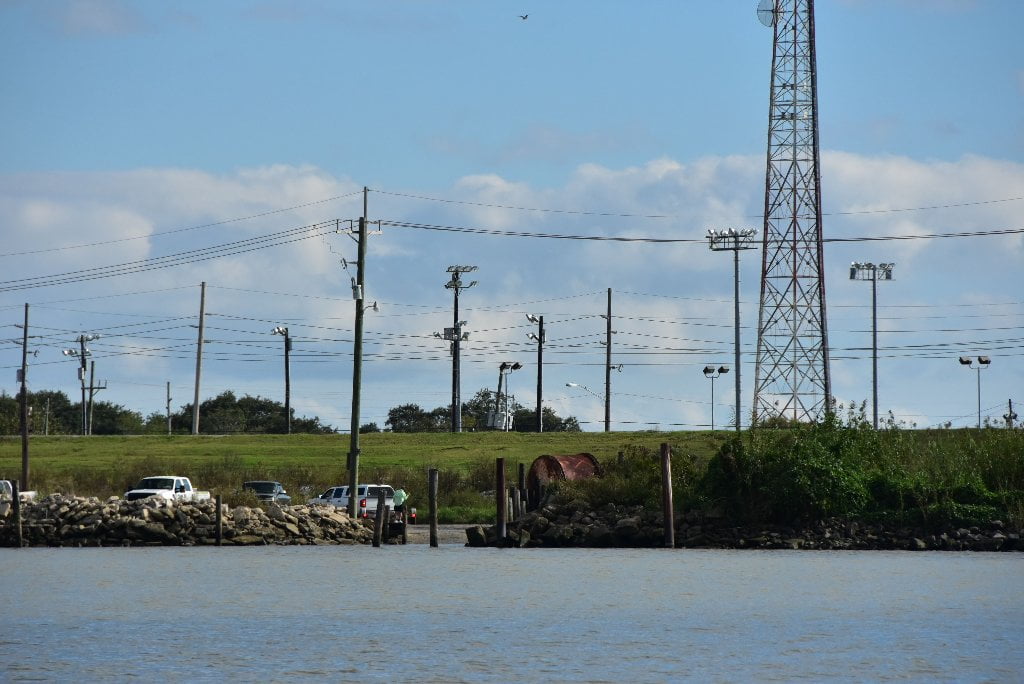
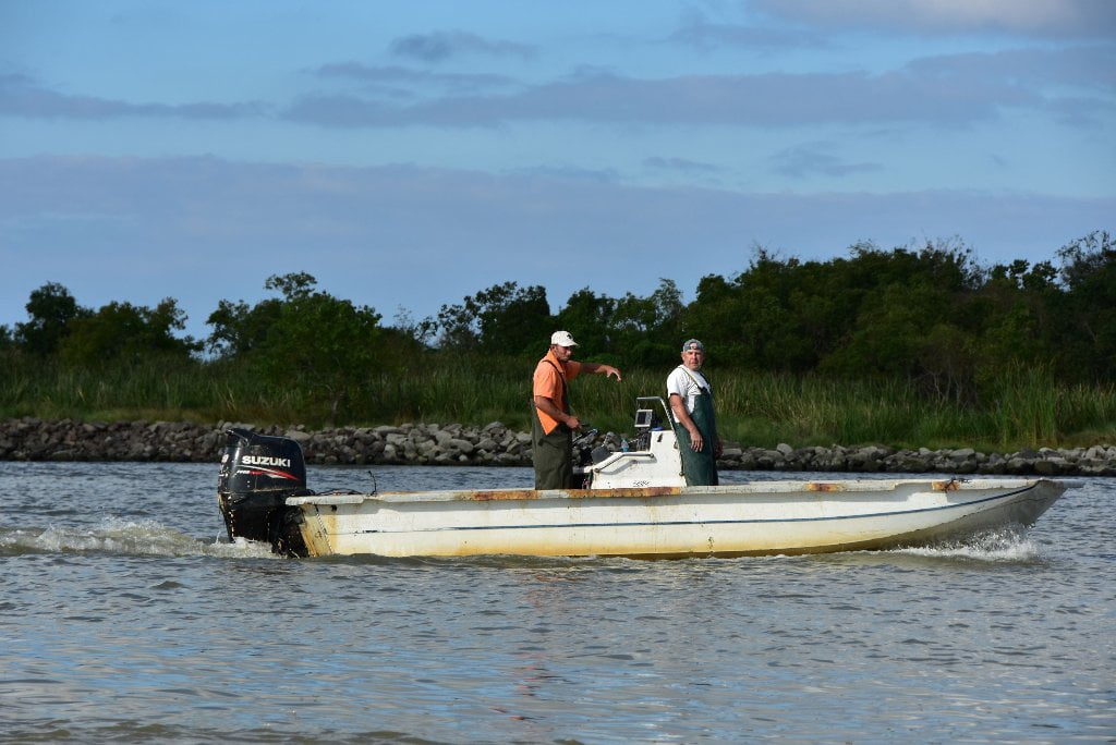
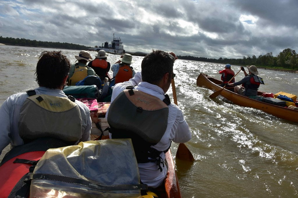
The Baton Rouge stretch you are now paddling is just a little taste of some busy-ness before the the big busy-ness to follow. But also pockets of wilderness. Chemical Corridor is a great education and should be looked upon as such. What you see here in microcosm explains the entirety of Louisiana’s Chemical Corridor and the vast inland port of Greater New Orleans — and the river’s connection to the world market. This will make a well-rounded tour for the long-distance paddler setting out from Baton Rouge down the Water Trail. You get the opportunity to experience a little industry and a lot of nature. The river is both commerce and wilds. It has always been this way since the Athabaskans first migrated across the Bering Straight and then South out of Canada and began ferrying goods along the plentiful river valleys in hollowed logs. They were of course later followed by their descendants the Chickasaw, Choctaw, Quapaw, Natchez, and many others in dugout canoes, hide-covered canoes and bark canoes. The Mississippi is and has always been this continent’s greatest highway for commerce and simultaneously also one of its greatest wildernesses. Can the two co-exist? I firmly believe so and will describe it as so.
The story of the Mississippi and its importance to the heart of America — and its connections to the rest of the world — could not be understood without seeing the monuments of mankind. As the river leaves Baton Rouge you can see examples of how it cooperates with the ambitions of modern man’s industry & transportation, and then how it seamlessly slips into its mighty realm of wilderness below where nature predominates.
Wild Miles
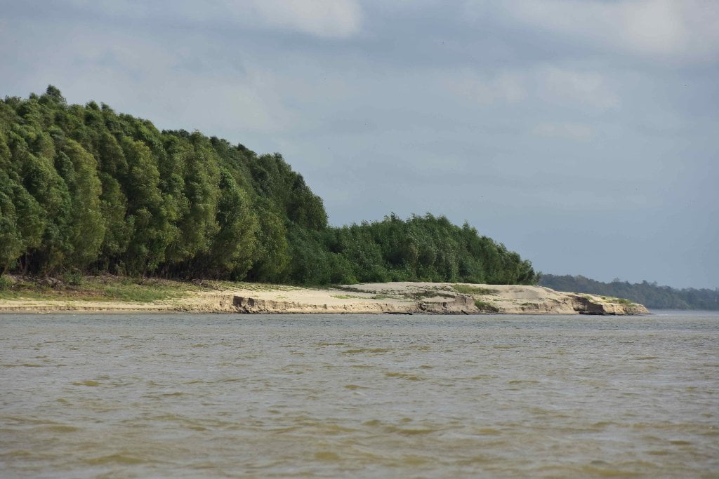
According to wildmiles.org the Lower Mississippi River is 71% wild and 29% not. (Wild Miles is a qualitative assessment of Mississippi Valley wilderness areas from the perspective of the river). But below Baton Rouge, the percentages change. The Wildmiles assessment of the 250 miles from Baton Rouge to the Gulf says that 7% is “looks & feels” wild, and 93% not. We’re going to describe both “wild” and “not wild” in the Rivergator. But particular attention will be paid to the remaining 7% that still feels good-and-wild, and is still thriving with an extraordinary amount of plant, animal and insect diversity.
What are the Wild Miles?
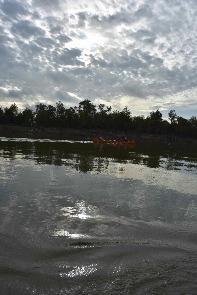
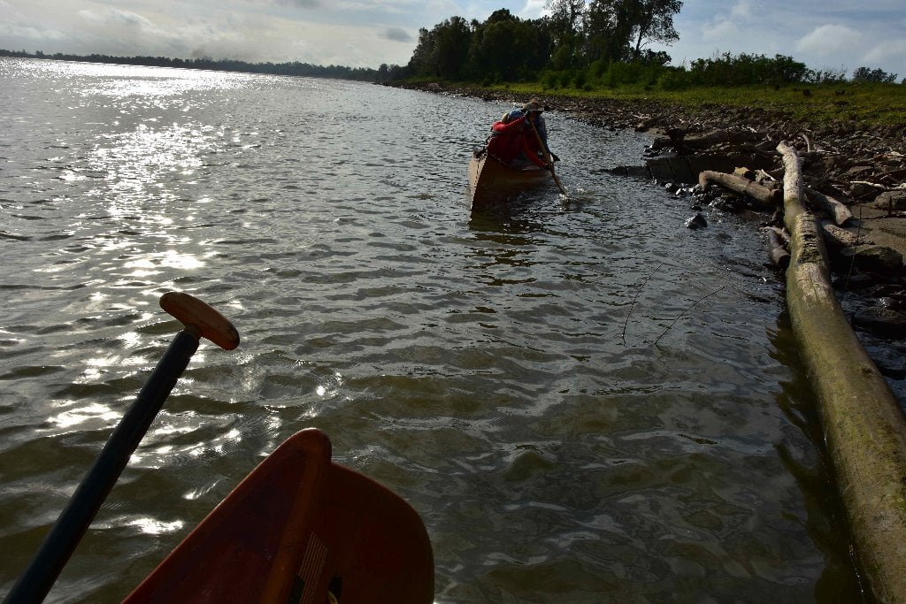
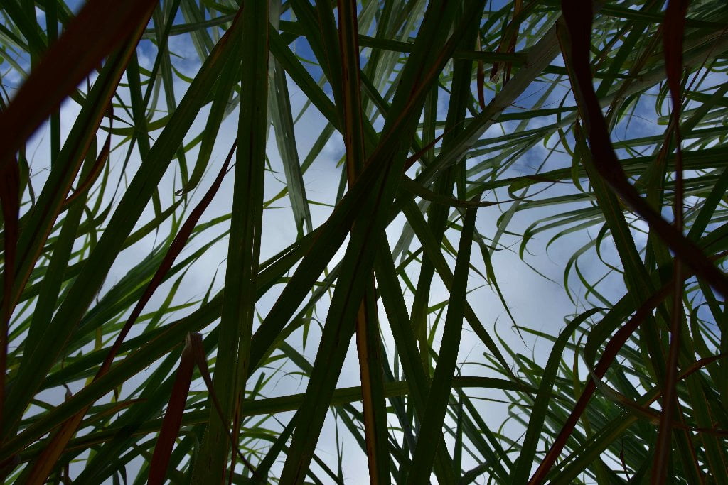
Wild Miles are places where nature predominates and nothing is seen of mankind save passing tows (and other river traffic) and maybe a tiny hunting camp or a single fisherman buzzing by in a johnboat. These are places where the landscape is filled with giant islands bounded by endless mud banks & sandbars, where the river is overseen by big skies and where the sun sets uninterrupted by buildings or wires and where big river predominates with creative wild beauty, each high water results in shifting sand dunes and re-made sandbars. This is a floodplain valley where only deer & coyote tracks are seen along the sandbars and enormous flocks of shy birds like the White Pelican and Double Breasted Cormorant are comfortable enough to make landing for the night. These are places where it’s dark & quiet at night, where the stars fill the skies like brightly shining jewels poured out on a dark purple velvet blanket, almost as thick & vibrant as the night skies of the Great Plains or Rocky Mountains.


Leave A Comment
You must be logged in to post a comment.