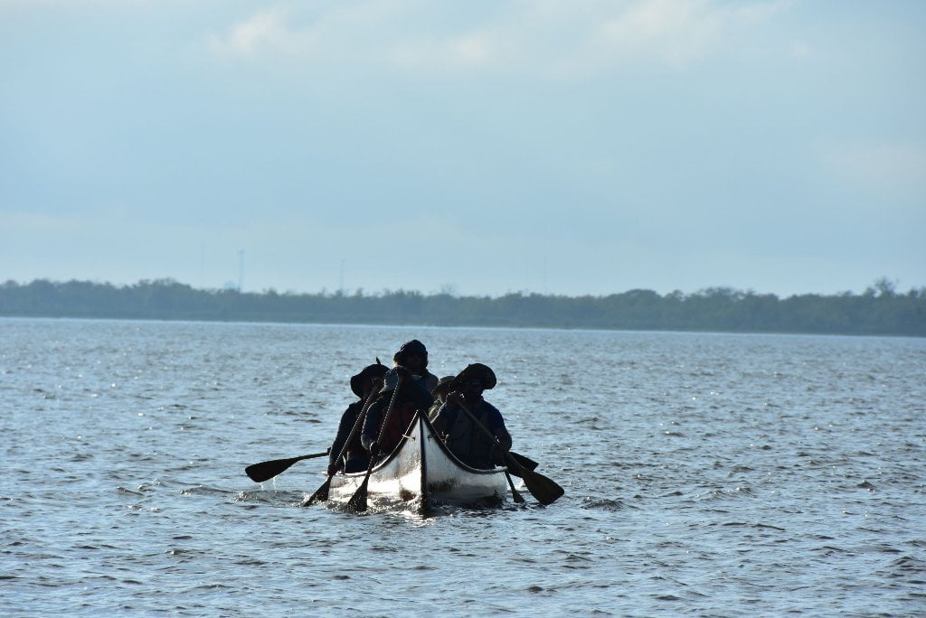
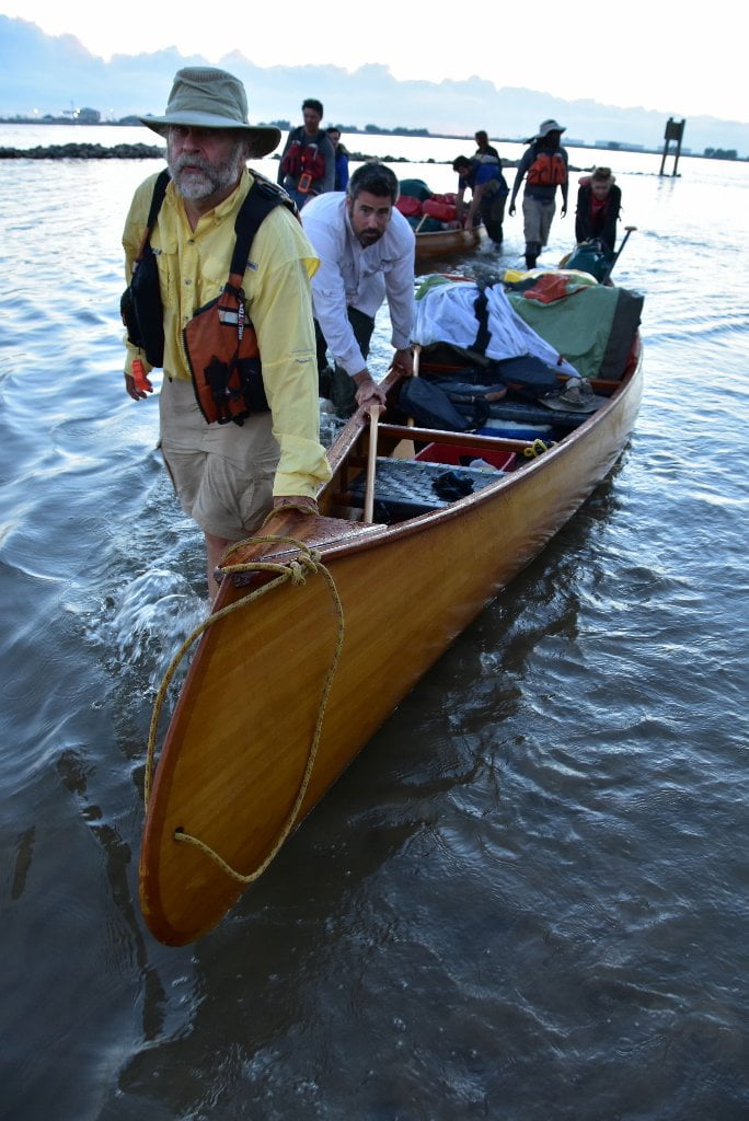
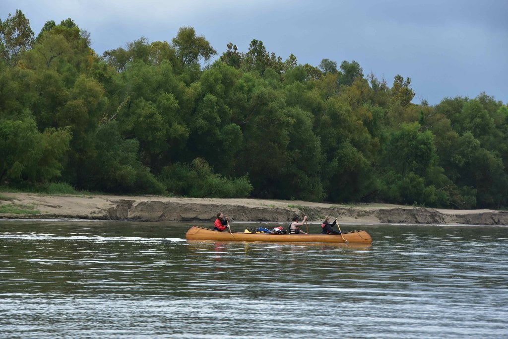
The Lower Mississippi River Water Trail

Channel Crossings

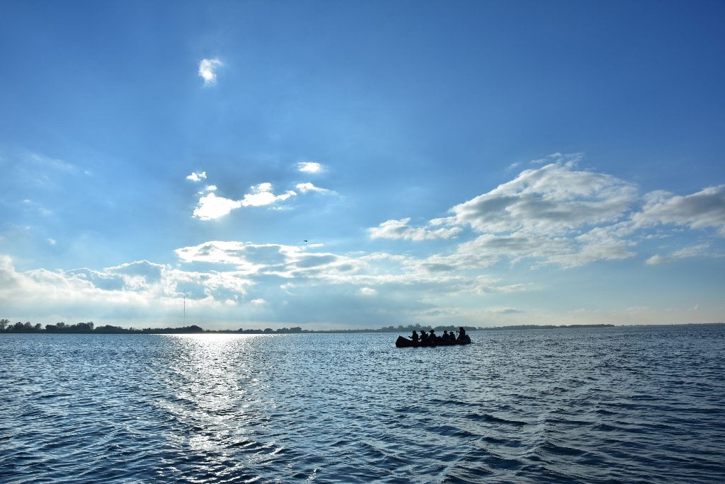
As you study the 2007 USACE Maps of the Lower Mississippi you will notice the recommended line of travel following traditional crossings with colorful names like “Red Eye Crossing” and “Sardine Crossing” and “Bayou Goula Crossing.” Freighters and all big commercial traffic follow these traditional channel crossings over shoals between deep pools from West Bank to East Bank and vice-versa. Smaller vessels like tugboats and tows can go just about anywhere during medium or higher river levels, but at low water most will follow this traditional route for making a safe crossing to deep water. You paddlers can continue on whatever routes suits you best. To avoid traffic stay out of the crossing and continue on whatever side you’re already on. You might drift into slower water, but often in a shorter line of travel. If you stray into the channel for faster waters stay vigilant for oncoming fast-moving freighters. Monitor channel 67 if you have a VHF marine radio for an indication of what’s coming around the bend.

Blind Corners

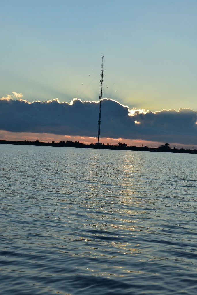
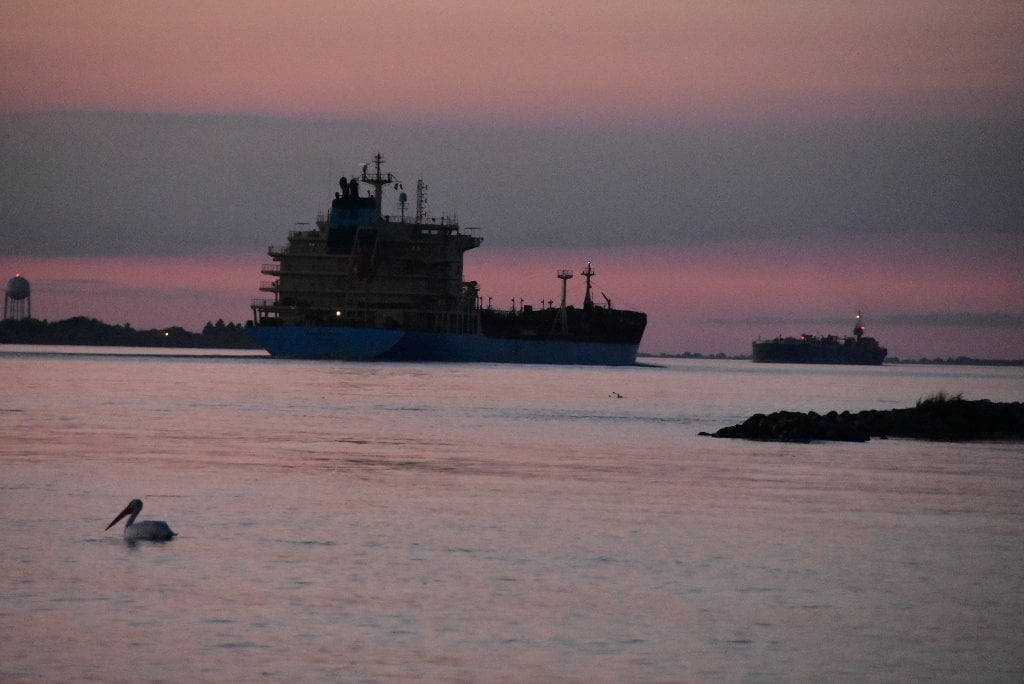
One of the dramatic river changes below Baton Rouge is the presence of “blind corners” — that is: tight bends of the river. Unlike the gently curving bends you’ve enjoyed above Baton Rouge, for some aqua-dynamic reason the bends of the river below Baton Rouge often curve around a single crux point, sometimes with a 180 degree swing of direction. The river seems to eddy, and sometimes pool with giant boils at these crux points, and the normal flow of water displays strange behavior, from smooth laminar flow to massive boils and swirlings that seem to wander aimlessly about the river face, and can leave paddlers in a bit of confusion. It can be a bit un-nerving to lose all your current at one of these points. But imagine the extra fright when you lose all your current and then simultaneously you are confronted with an oncoming freighter the size of Fort Knox who has suddenly appeared downstream, seemingly hugging the bank, and you seem to be directly in its line of passage!

Safely Paddling around Blind Corners

Downstream freighters and big tows normally follow the traditional lines of crossing, as indicated on the 2007 USACE maps, from deep within the bend, staying with the swift waters center channel, or towards one of the banks, gradually crossing over and above the shallows of one bend, and then dropping again into deeper and swifter waters as they enter the next bend downstream. Paddlers should be aware that upstream freighters and tows often stay in the slow water below the crux turning point of these blind corners as long and as far as they can find enough depth, and then jump out around the crux point blind corner at the last possible minute to plow through the faster and deeper waters beyond, and then when possible reach the slower waters towards the next blind corner upstream. This is a typical pattern for all commercial traffic, especially bigger vessels. If you are approaching any of the sharp points from above be extra cautious about the possible approach of big upstream vessels coming towards you and around these blind corners. Every corner is different, and every moment of the day brings new challenges according to traffic. Best decisions are made on the spot based on what you see in front of you, and what you hear on your radio. Normal best route is running wide and getting into the safety of the outside of the bend. Staying on the outside of these bends close to shore (closer than large commercial traffic will go) is normally your safest bet. The water on the outside of a bend tends to be flowing more swiftly than on the inside of a bend anyway so the longer distance shouldn’t affect your transit time too much.

Interpreting Horns

Commercial pilots often toot their horns to each other, as signals of which side to pass on, or in respect of each other. Modern pilots have adopted this system from steamboat pilots who used whistles in the days preceding radio communication. “One whistle” means pass on port side to port side. Two toots means starboard to starboard. While they won’t use this system for us paddlers, they might give a toot of salutation, or maybe an angry HONK! as a warning. This could happen anywhere along the river, but is especially common in the tight bends and crowded fleeting and wharfing areas of Chemical Corridor. The last thing a commercial pilot wants to encounter while maneuvering thousands of tons of freight through hazardous stretches of water is a canoe or kayak in the middle of the navigation channel. If you hear two toots in succession that means “hullo!” Raise your paddle as a return signal of respect, or even better remove your hat and give a bow (also a courtesy harkening back to the steamboat days). But if you are shook by a prolonged blaring horn (sounds like a deranged tuba player) that means the pilot thinks you are in the wrong place at the wrong time. Re-assess your line of travel and make any possible adjustments. If your vessel is again shook by prolonged screams of the air-horn, again and again, that means that this particular pilot has taken an extreme dislike to your position in the river, and thinks you (or he) is in imminent danger. This might be the time to make a beeline for the quickest safe side of the river you can see. But take a minute, dear paddler, and turn around and carefully examine the channel and what is going on before acting. Sometimes commercial pilots mis-judge what us paddlers are capable of, and react with anger, or maybe fear. Ultimately, paddlers will have to make their own best decisions about what is the best line of travel, and suffer whatever consequences come what may.

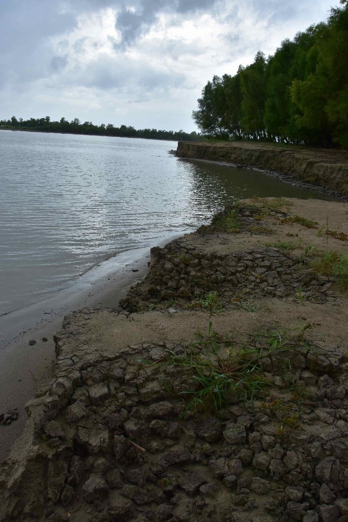
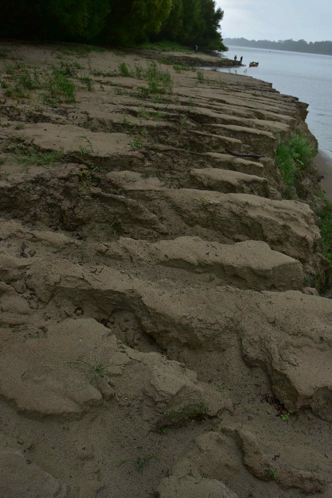
False Points and False Tips

Similar to the occurrence of a “false summit” on a big mountain, the “false point” surprises paddlers who think they have reached the turnaround point of the big bend here only to find there is more coming! This actually happens at every point along the Lower Mississippi, and furthermore around every island. You might experience the same effect paddling around the outside of some of the big islands, like Bayou Goula. If you are looking for the bottom of Bayou Goula, and paddle around its outer perimeter you will pass by a number of false points searching for the tip of the island. Everything is so big, and so over-blown in the proportions most people are used to paddling through, that the feeling is just like the feeling you get climbing big mountains. The false point experience can have consequences on the psychology of your day’s paddle, and can cause problems in a group relying on an ignorant wayfinder. It is a common human practice for shorten distances in our imagination. This happens to me all of the time, and I have heard others experience the same.

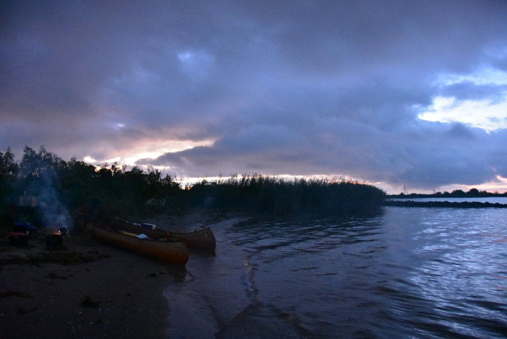
Here is an example: you are coming around Missouri Bend, and prepare to find camp. You haven’t been able consult your maps because you inadvertently packed them away as you left Baton Rouge, but you know from your memory, or maybe from what someone told you, that good camping follows Missouri Bend on Manchac Point. That is true. But what you don’t know is how big Manchac Point is! What you know for certain is that Manchac Point is West Bank. You’re not sure exactly how far this is. But it can’t be too far, right? Little do you realize that Manchac Point is shaped like a baseball bat, and the actual point sticks out far beyond the entry into the bend, in fact about ten miles! So you plan cut through Red Eye Crossing and then follow a line of travel along the right bank below Missouri Bend to Manchac Point. You do this. You cut across Red Eye and round Missouri Bend and start looking. A point take shapes downstream. There it is! That was easy. So you think. You paddle a couple of miles and discover “that point” is in fact not Manchac, but a jog in the West Bank at the beginning of Sardine Crossing and there is another point further downstream. That must be it you think, a little less certain. You paddle there, but you find another point beyond it, another mile downstream! This time you don’t make any definite predications, but paddle on resolutely. If you have someone paddling with you, they might have stopped listening to your guesswork. Manchac gently curves eastward a long, long ways. In fact, it gently curves eastward, and then southward another six miles from Sardine Crossing! It’s not until you are well into the bend that you are physically within hailing distance of the big sandbars at Manchac Point. As you approach the turning point of the bend, the false points actually get closer and closer together, as if intent on proving Zeno’s Paradox (that is: halving every distance as you approach the final turn, so that you’ll actually never get there!) If darkness is falling, your vision gets worse and worse. You might have some dissension in your canoe, or your group. You’ll definitely have a serious self-examination. That is, if you haven’t already stopped somewhere along the way to pull out your maps. Or pulled out your smart phone and bring up Google maps. Or maybe just given up in frustration and climbed one of the steep muddy banks along the way, and set up camp in the mosquito thick woods.

Hint: save yourself this confusion and keep your maps handy!

Leave A Comment

SECTION MILE ACCESS CITY
Middle Mississippi & Bluegrass Hills / Bootheel 195-0, 954-850 ST. LOUIS TO CARUTHERSVILLE
Chickasaw Bluffs 850 – 737 CARUTHERSVILLE TO MEMPHIS
Upper Delta 736 – 663 MEMPHIS TO HELENA
Middle Delta 663 – 537 HELENA TO GREENVILLE
Lower Delta 537 – 437 GREENVILLE TO VICKSBURG
Loess Bluffs 437 – 225 VICKSBURG TO BATON ROUGE
Atchafalaya River 159 – 0 SIMMESPORT TO MORGAN CITY
Louisiana Delta 229 – 10 BATON ROUGE TO VENICE
Introduction  
Baton Rouge to New Orleans
Baton Rouge Gauge (BR)  
230 LBD Welcome to Baton Rouge: Downtown Riverfront
Baton Rouge Sites and Services of interest to Paddlers  
Food  
229.6 – 228.6 RBD Port Of Baton Rouge
The I-10 (New) Bridge  
229 LBD Glass Beach
Directions to Glass Beach  
Daytrips from Baton Rouge  
229 LBD Old Municipal Dock
229 – 228.5 Lower Baton Rouge Anchorage
229.1 RBD Baton Rouge City Wharf: Community Coffee
SoLa Coffee Companies  
How to Brew a Great-Tasting Pot of River-Rat Coffee:  
228.9 RBD Cargill Greater Baton Rouge Port Commission Grain Wharf
Port Allen/West Baton  
229 – 228.5 LBD Lower Baton Rouge Anchorage
228.5 LBD Economy Boat Store Wharf
228.4 RBD Mouth of ICWW
228.4 RBD Intracoastal Waterway (Morgan City Port Allen Route)
Resupply from Intercostal Waterway Boat Ramp (Under Hwy 1)  
228.4 – 226 RBD Cargo Carriers Port Allen Fleet West Bank Mooring
What are Fleeted Barges?  
Paddling out of the Baton Rouge Industrial Reach  
228 RBD LSU Tigers Stadium
227.4 LBD LSU
Highlights of Industry  
Toxic Release Inventory (TRI)  
Chem Corridor Superlatives  
High-Tech Materials Used by Paddlers  
What about Terreprene?  
Green Spaces  
Wild Miles  
225.3 – 223.9 RBD Western Towing Company West Bank Fleet
225-223 Red Eye Crossing
224-221 LBD Missouri Bend Pointway
223-222 LBD Missouri Island
RBD 221.8 Dow Chemical Missouri U.S.A., Plaquemine Dock No. 2. Hydrocarbon Wharf
222 and 210 RBD Dow Chemical Company Louisiana Operations, Dexco, and Shintech Addis
Duncan Point/Manchac Point/Plaquemine Island/Sunshine Green Space  
LBD 221-220 Duncan Point
219 RBD Lowlands Opposite Duncan Point
220 RBD Sardine Point
220 RBD – 218 LBD Sardine Crossing
219 RBD Comeaux Landing
216.5 RBD Australia Landing
216.5 LBD L’Auberge Casino
216.2 LBD Longwood Plantation
214.5 RBD Manchac Point
215 LBD Bayou Manchac
212.8 LBD Small Dune
213 LBD – 211 RBD Medora Crossing
211.5 RBD The Medora Site
211 – 209.5 LBD Plaquemine Island
210.5 RBD Morrisonville
210.4 RBD Morrisonville Landing
210 RBD Dow Chemical Company Louisiana Operations
210 RBD Dow Chemical Wastewater Outfall
208.5 RBD Dow Chemical Plaquemine Point Shipyard, Cleaning Wharf
209 RBD Myrtle Grove Trailer Park
208.7 RBD Plaquemine Beach
City of Plaquemine  
Bayou Plaquemine: Alternate Route to Gulf via Atchafalaya Basin  
209 LBD Plaquemine Point
208.5 RBD Plaquemine Boat Ramp
208 RBD – 207.5 LBD Plaquemine Ferry
206 RBD Reveilletown
204.8 LBD Shintec Louisiana Plaquemine PVC Plant
205.2 RBD Small Dune
206-204 RBD Sunshine Wetlands
206 RBD – 203 Granada Crossing
203.8 LBD LBC Sunshine Terminal
203.3 RBD SNF Flopam
201.6 LBD Willow Glen Power Plant
201 – 199 RBD Point Pleasant
200 LBD – 197 RBD Bayou Goula Crossing
200.1 LBD Industrial Complex including Taminco Inc., Syngenta, and Olin Chlor Alkali
Point Pleasant/Bayou Goula Island/Point Claire Green Space  
195.6 RBD Bayou Goula Landing
196 – 194.5 LBD Bayou Goula Island
Bayou Goula  
194.8 RBD Nottaway Plantation
194 LBD Point Clair
193.5 RBD White Castle
192.7 RBD Cane Sugar Refinery (Cora Texas Manufacturing Co)
191.5 RBD – 191 LBD White Castle-Carville Ferry
Carville  
191 LBD Carville Landing
190.8 LBD Carville Boat Ramp
191 – 190 LBD White Castle Anchorage
Geismar Industrial Reach  
188-184 RBD Claiborne Island
Nurdles: What Are Nurdles?  
187.9 LBD Total Petrochemicals and Refining and Caravelle Energy Center
186.8 LBD Industrial Complex including PCS Nitrogen, Honeywell, and Williams Olefins
185.3 LBD Methanex
185 LBD Industrial Complex including Borden Chemicals, Westlake Chemicals, and Momentive Specialty Chemicals
185 LBD Geismar
184.6 LBD Rubicon and Lion Copolymer
183.9 IMTT Geismar and BASF
183.2 LBD Shell Chemical and OxyChem
183.2 LBD Sandbar below Shell Geismar
182.8 – 182 LBD Carline’s Geismar Fleeting
182 LBD Old Inger Oil Refinery Superfund Site
Philadelphia Point/ Eighty-One Mile Point Greenspace  
181 – 179 RBD Philadelphia Point
180.3 – 178.8 LBD L & L Dry Bulk Transfer & Mooring
177.3 – 175.2 LBD L & L Fleeting and Mooring
Big Foot  
178 LBD Eighty-One Mile Point
Donaldsonville Industrial Reach  
177.9 RBD Smoke Bend Sand Dune
177 RBD – 174 LBD Smoke Bend Crossing
175.4 RBD Bayou Lafourche Water Intake
175.2 Donaldsonville Boat Ramp
175 RBD Donaldsonville
173.5 RBD CF Industries
173.7 LBD Private House and Boat Ramp
Bringier Point/Houmas Point Greenspace  
173 LBD Bringier Point
172 RBD Point Houmas
170.7 LBD Houmas House Plantation and Gardens
170 LBD Burnside Terminal and Burnside Alumina Refinery
169.2 LBD Chemours
168.3 LBD Motiva Convent Refinery
167.5 Sunshine Bridge
167 -165 LBD Sunshine Anchorage
Bonfires on the Levee  
167 RBD Mosaic Faustina and American Styrenics
163.8 LBD Zen-Noh Grain
165 LBD Shell Beach
164.5 LBD Zen-Noh Point
163 LBD Nucor Steel
162 LBD Romeville Dune
161 LBD – 158 RBD Rich Bend Crossing
161.5 LBD Occidental Chemical Convent
160.9 LBD SunCoke Energy Convent Marine Terminal
160.7 RBD thru 158 RBD St James Petroleum Terminals
160.4 Mosaic Uncle Sam
159.5 RBD Burton Lane
160 RBD Chatman Town
156 LBD College Point Beach & Greenspace
Manresa On The Mississippi  
156 RBD – 152 LBD Belmont Crossing
Oak Alley Plantation  
150.4 LBD ADM Growmark St. Elmo
150.5 LBD St. Elmo Terminal Grain Elevator Wharf
149.3 LBD Paulina – Poche Park
148.1 LBD Grandview Beach
Switching To The New Orleans Gage (NO)  
Water levels according to the New Orleans Gage (NO)  
149 – 147 LBD Upper Grandview Anchorage
147 Gramercy
146.2 LBD Louisiana Sugar Refining (LSR)
145.6 LBD Rain CII Gramercy Calciner
145.4 LBD Noranda Alumina Gramercy
145.9 Gramercy Bridge (Veteran’s Memorial Bridge)
145.4 Kaiser Bauxite
Blind River  
Maurepas Swamp Wildlife Management Area  
Manchac Wildlife Management Area  
144 RBD Angelina Landing
143.6 LBD Nalco Garyville And Evonik Stockhausen
Angelina/Willow Bend Greenspace  
143.4 LBD MARQUEZ
142.4 LBD Forty-Eight Mile Point/ Belle Point
142.3 RBD Wego
142 RBD Willow Bend
141 RBD – 139 LBD Willow Bend Crossing
141.7 LBD Garyville
139.75 LBD Lions
140.6 – 140.0 LBD Marathon Ashland Petroleum, Louisiana Refining Docks 1, 2, 3 & 4
140.5 LBD Marathon Garyville Refinery, Pinnacle Polymers, And Air Products And Chemicals
139.8 LBD Cargill, Inc. – NAGOC Reserve Oilseed Wharf
139.4 LBD Cargill
139.2 LBD ADM/Growmark, Reserve Elevator Wharf
138.7 LBD Port Of South Louisiana, Globalplex Bulk Commodities Wharves
138 RBD Reserve
138 RBD – 137.6 LBD Reserve Ferry
137.8 – 135 RBD Cargo Carriers Fleeting & Mooring
135.4 – 134.7 LBD La Place Anchorage
136.7 LBD Elmwood Marine Services Repair Wharf And Capital Marine Supply, Triangle Fleet Moorings
135.7 LBD DuPont Pontchartrain Works
Bonnet Carre/Thirty-Five Mile Point Green Space  
133 RBD Bonnet Carre Point
132.9 LBD Bonnet Carre Crevasse
132.4 LBD ArcelorMittal (Bayou Steel)
132 – 131.5 RBD BONNET CARRE ISLAND
131.5 RBD Hymelia Crevasse
131 RBD HYMELIA BEACH
130 RBD Killona Landing
130 LBD THIRTY-FIVE MILE POINT
Taft/Hahnville/Norco Industrial Reach  
129.8 RBD Entergy Louisiana, Waterford Steam Electric Plants 1 & 2 Wharf
129.5 RBD Waterford 3
129.5 LBD Entergy Louisiana, Inc., Little Gypsy Power Plant
128.9 RBD Occidental Chemical Koch Industries, Taft Plant Dock
128.8 LBD False Boat Ramp
128.8 – 127.3 LBD BONNET CARRE SPILLWAY
128.8 – 127.3 LBD Bonnet Carre Anchorage
127.3 LBD SPILLWAY BOAT RAMP
128.8 – 127.3 Kugler And Kenner Cemeteries
128.4 RBD Air Products, Air Liquide, Praxair, Galata, Koch Nitrogen
128.1 – 127.8 RBD Dow Chemical Company (Union Carbide Corp)
127.8 RBD Taft
127 RBD Upper St. Rose Repair Wharf And Fleet Mooring
127 RBD Upper St. Rose Repair & Fleeting
127 LBD Shell Chemical Norco Plant
126.1 LBD Diamond And Norco
126.9 LBD Shell Norco Chemical Plant West Site And Momentive Specialty Chemicals
126 LBD Motiva Enterprises, Norco Refining Dock 1, 2, 3 & 4
126 LBD Bayou Trepagnier
125.5 LBD Shell, Motiva, Valero, Union Carbide, And Rain CII
125 LBD Valero Refining Corp., Norco Refinery Dock No.1, 2, 3, 4, And 5
124.6 LBD New Sarpy
124.4 RBD T.T. Barge Mile 125 Barge Launch And Repair Wharf
123.7 LBD 26-Mile False Point
122.7 LBD Twenty-Six Mile Point (And Greenspace)
122.5 LBD Ormand Landing And Plantation
123 RBD Dufresne
122 RBD Small Dune At Luling
121.6 RBD Hale Boggs – Luling Bridge
121 LBD Old Pan American Southern Oil Refinery
120.8 RBD Old Luling Ferry Ramp (Defunct)
Luling/Destrehan/St. Rose/Ama Industrial Reach  
120.5 LBD ADM/Growmark Destrehan Elevator Wharf
120.5 LBD Bunge Corp North America, Destrehan Elevator Wharf
120 RBD Monsanto Luling Docks No’s 2, 3, And 4
120 RBD Monsanto, OxyChem, And Air Products
Roundup  
118.8 LBD International Matex, St. Rose Terminal, Berths Nos. 2, 3, 4, 6, 7, 8, 9, 10, 11, 12, 13 14, And 15
118.6 LBD International Matex Tank Terminals (IMTT) And Shell
118.7 RBD Davis Crevasse
118 RBD – 115 LBD Fairview Crossing
117.6 RBD ADM/Growmark, Ama Grain Elevator Dock
117.5 LBD St. Rose Landing
116 – 113 RBD Kenner Bend Anchorage
114.5 RBD Fortier Manufacturing Complex
Louis Armstrong International Airport  
114.7 City Of Kenner Landing (Upper)
113 LBD City of Kenner Landing
113 LBD Kenner, LA
111-109 Wood Resources Fleeting
111 RBD Channel Shipyard Wharf
111 RBD ARTCO New Orleans Shipyard Slip
111.8 LBD Small Sand Dune
112.1 East Jefferson Parish Discharge
111 – 108 Avondale Bend/The “River Illusion”
112 – 109 LBD Twelve Mile Point Greenspace
110 – 109 LBD Twelve Mile Point
Elmwood/Bridge City/Jefferson Industrial Reach  
108.2 RBD International Matex Tank Terminals (IMTT) Avondale
107.7 RBD Avondale Ship Yard
107.6 RBD Litton Industries
106.1 Huey P. Long Bridge
106.1 RBD Fort Banks
105 LBD Camp Parapet & Parapet Line
104.8 RBD T.T. Barge Coatings, Inc
104.2 LBD Ochsner Medical Center
104.3 LBD Batture Houses
Mahalia Jackson  
104 RBD Nine-Mile Point
103.8 RBD Entergy Louisiana Nine-Mile Point Steam Electric Station
104.1 LBD New Orleans Raw Water Intake
103.8 LBD Carrolton Bend Beach
We All Live Downstream  
104 – 103 LBD Carrolton Bend
Gert Town  
103.1 – 103 RBD Cargill Westwego Grain Transfer
Smaller Tows From Here On Downstream  
102.8 USACE Boat Ramp (Restricted)
102.7 U.S. Army Corps Of Engineers, New Orleans District
Flood Control  
Americas Largest Port  
Protecting And Restoring Louisiana’s Coast  
102.3 – 102.2 RBD Low Water Sand Dunes
102 RBD Kinder Morgan Seven Oaks Terminal
101.7 LBD Audubon Park Excursion Boat Landing
102 – 101 LBD “The Fly” — Audubon Park — Audubon Zoo
Some Music Venues Of Note Within Walking Distance  
Health Food/Gourmet Food Resupply  
New Orleans / Westwego / Gretna / Algiers Industrial Stretch  
New Orleans Steamboats And Ferries  
101.9 RBD National Gypsum Co., Westwego Plant Wharf
101.7 RBD City Of Westwego Landing
101.4 RBD ST Services, LLC, Westwego Terminal Wharf
101.4 RBD Blackwater Midstream Westwego
101.4 LBD Six-Mile Point
101.1 LBD Henry Clay Avenue Wharf
100.8 LBD Nashville Avenue Wharf A, B, And C
100 LBD New Orleans Container Terminal
99.5 LBD Napoleon Avenue Container Terminal
98.2 RBD Harvey Lock – Entrance To The Harvey Canal
97.1 RBD – 97.1 LBD Gretna Ferry
97.1 LBD East Bank (New Orleans Side) Gretna Ferry
97 LBD Gretna
96.7 RBD Gretna Water Intake
96.3 LBD Old New Orleans Power Plant
95.6 Crescent City Connection – Greater New Orleans Bridge
July 2008 Oil Spill  
95.4 LBD New Orleans Convention Center
95.4 RBD Algiers Water Intake
95.4 – 94.0 LBD Welcome to New Orleans: The Riverwalk
94.9 LBD – 94.8 RBD Algiers – Canal Street Ferry
94.7 Audubon Aquarium Of The Americas
94.7 LBD Bienville St. (Aquarium Landing) Wharf
94.6 LBD Moonwalk, French Quarter
New Orleans to Venice
94.5 RBD Algiers Point
94.4 RBD Algiers Sandbar & Beach
LBD 94-93 Algiers Bend
93.9 Crescent Park
Tidal Effect Below New Orleans  
Estimate Your Camp Height  
Press Park, Gordon Plaza, And Liberty Terrace  
92.5 LBD Industrial Canal (Intercoastal Waterway East)
MRGO  
91.7 LBD Jackson Barracks
90.9 LBD Domino Sugar Factory (American Sugar Refinery)
90.6 LBD Arabi Terminal Aka Chalmette Slip No. 1 And No. 2
90.5 LBD Chalmette Primitive Landing
90.2 LBD Chalmette Battlefield & Chalmette National Cemetery
Versailles  
Chalmette / Meraux / Violet Industrial Stretch  
89.6 LBD Former Kaiser Aluminum Site
89.2 – 88.3 LBD Chalmette Refining
89.1 LBD Rain CII Chalmette Calciner
88.6 LBD – 88.6 RBD Lower Algiers Ferry
88.2 RBD Algiers Lock: Gulf Intercoastal Waterway
87.6 LBD Meraux Water Intake
87.5 LBD East Chalmette
87.0 LBD Murphy Oil USA, Meraux Refinery
Poydras Bend/English Turn Bend Green Space  
84.6 RBD Docville Farms
84.5 RBD Poydras Wetlands
84.4 RBD Poydras Lower
84.3 RBD Audubon Wilderness Park
83.9 LBD The Violet Canal
83.8 LBD Violet Dock Port, Inc., Berthing Facility No’s 1, 2, 3, 4, And 5
83.6 RBD A Studio In The Woods
82.6 – 81.6 Poydras Crevasse
81.4 LBD Caernarvon Crevasse
81.4 LBD Caernarvon Fresh Water Diversion Structure
81 RBD TWELVE MILE POINT
79.7 LBD Stolthaven New Orleans LLC, Berth No’s 3 & 4, Braithwaite
79.7 LBD Stolthaven Boat Ramp (Private)
78 LBD Shingle Point
79 – 77 English Turn Bend
“You Are On The Wrong River!”  
78.1 RBD Fort St. Leon
78.1 LBD Fort St. Marie
78 RBD Plaquemines Parish Public Boat Ramp (Shingle Park)
Belle Chasse Industrial Stretch  
76.6 – 76.4 LBD AMAX Metals Recovery
76 RBD – 75.7 LBD Belle Chasse Ferry
75.6 LBD Scarsdale Ferry Landing
72.3 RBD Chevron Oronite, Oak Point Plant Wharf
70.25 RBD Oakville
69 – 67 Jesuit Bend
Will’s Point/Jesuit Bend/Live Oak Green Space  
68 LBD Will’s Point
Over The Edge Of The Earth  
Carlisle / Phoenix / Davant Industrial Stretch  
The Last Bottleneck Of Big Industry?  
64.4 LBD 2 Tiny Refuges
63.2 – 62 RBD Conoco Phillips 66 Alliance Refinery
61.8 RBD Cenex Harvest States Cooperatives, Myrtle Grove Terminal Wharf
60 LBD Poverty Point
Camping at the Mouth of the Passes and Other Gulf Outlets Below Pverty Point  
59.4 LBD Fort Iberville / Fort De La Boulaye
57 – 56.6 RBD International Marine Terminals Shiploader Wharf
55 RBD Junior Crevasse
55.4 – 55.2 LBD TECO Davant United Bulk Terminal
51.6 LBD Plaquemines Parish Lock-Up
51.5 RBD Point Celeste
49 RBD Plaquemines Parish Water Treatment Intake
48.6 LBD – 48.6 RBD Pointe A La Hache Ferry
48.6 Ferry Landing/The Town Of Pointe A La Hache
44.5 LBD Pointe A La Hache
44.4 LBD Bohemia Beach
44 LBD Mardi Gras Pass
How Did Mardi Gras Pass Get Its Name?  
43.1 RBD Happy Jack
43 RBD Happy Jack Primitive Boat Ramp: Final Resupply?
42.8 LBD Huling Low Water Harbor
39.4 – 38.8 RBD Freeport-McMoran Sulphur Company
39.7 LBD Nestor Canal
39 RBD Freeport Sulphur Company
35.2 LBD Pointe A La Hache Relief Outlet
35.2 LBD Bass Enterprises
33 RBD Sixty Mile Point
Rising Oceans And Disappearing Landscapes  
33.2 LBD Bayou LaMoques/Balandock Canal
32 – 28 Tropical Bend
28 – 31 LBD Point Pleasant
29.1 RBD Daybrook Fisheries
29 RBD Empire Locks
Increasing Fisherman Traffic  
27.5 – 24.7 LBD Chevron Company (Oil & Butane)
26.7 LBD Chevron Pipeline Company Empire Terminal
25.2 LBD Ostrica Pass
25.2 RBD Buras Landing Boat Ramp
24.6 RBD Abandoned Mooring
24.5 RBD Motto’s Basin
24.4 – 23 RBD Ostrica Anchorage
24-23 LBD Neptune Pass
22 LBD Bolivar Point
21.4 RBD Protected Industrial Harbor
20.9 RBD Lagoons Above Fort Jackson
20.9 RBD Fort Jackson Boat Ramp
20.8 RBD Marine Spill Response Corp
Protecting New Orleans  
20.1 LBD Fort St. Philip
20 RBD Fort Jackson
19.9 LBD Harvey Pass
19.6 LBD St. Phillip’s Bend Pass
Plaquemines Bend/Fort Jackson Point  
19.5 – 18.5 RBD Fort Jackson Beach
18.5 – 12.2 Boothville Anchorage
18 LBD St. Anne’s Pass
16 LBD Olga Pass
15.5 LBD Un-Named Pass
14.5 LBD Un-Named Pass
12.5 LBD Un-Named Pass
11.9 RBD Bar Pilot’s Association
History Of The Bar Pilots  
11.5 LBD Sandbar At Mouth Of Baptiste Collette Bayou
11.5 LBD Baptiste Collette Bayou
-1.9 RBD Emeline Pass
-2.5 RBD Fimbel Pass
-6 To -8 Baptiste Collette Jetty
10.5 RBD Venice, LA, The End Of The Road
Directions To The Marinas In Tiger Pass:  
Cypress Cove Marina  
Venice Marina  
Birdsfoot Delta 10 – 0 VENICE TO GULF OF MEXICO