The Lower Mississippi River Water Trail
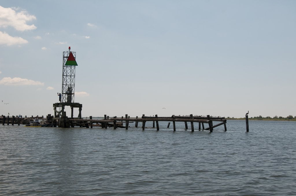
Designated Anchorages
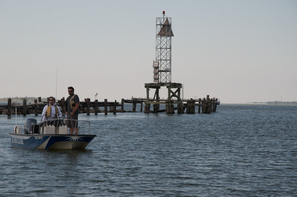
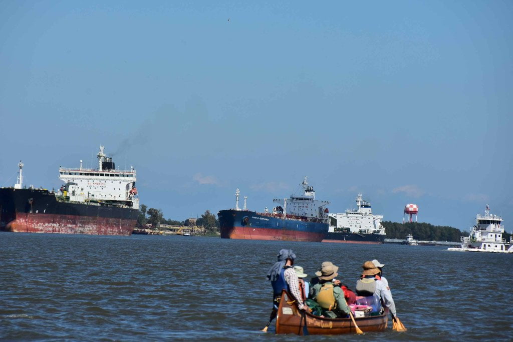
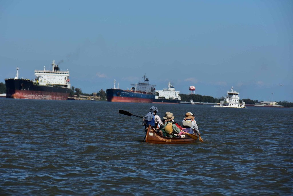
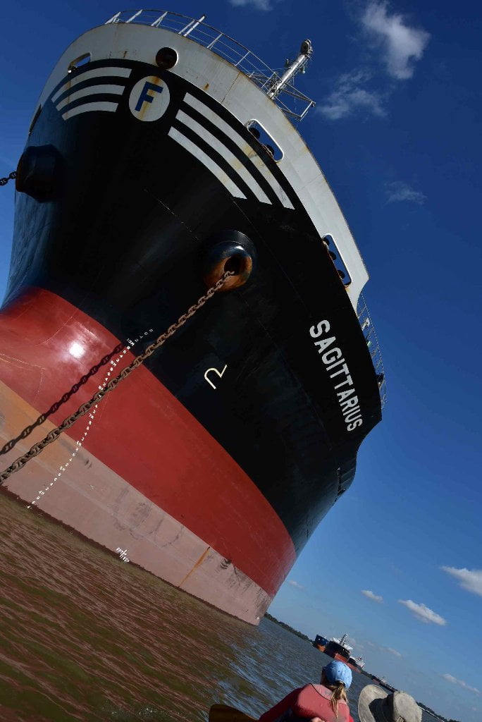
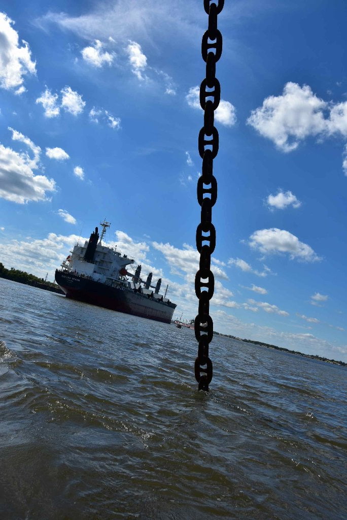
Freighters sometimes drop anchors and remain stationary within certain specific areas awaiting their turn to approach docks and load or unload their cargoes. Study your USACE 2007 Maps (or other versions). You will see that the “Designated Anchorages” are clearly marked with mileage top and bottom end with a large yellow diamond for signage. If you see freighters in the river downstream of you with their chains in the water, double check the maps. If you are close enough to shore you will see a yellow diamond “Anchorage Dayboard” which marks the upstream and downstream limits of the anchorage. Once you have confirmed that this is one of the designated anchorage areas on the map, you will know for certain that the freighter is indeed anchored, and if you wish, safe to paddle around, even approaching within earshot to say a quick hullo to the mates and deckhands, who are usually friendly and curious, and more often than not will snap a quick photo of you paddling by. Look for two anchor chains dropping from the two anchor holes (or “hawsepipes” in maritime parlance) in the prow of the ship. (Note: If the anchors are dropped you will see their chains extending from prow and disappearing into the water in a straight taut line). On the other hand if there are no chains out, the ship might be in motion, or might be getting ready to move. This will be further confirmed by the presence of tugboats (not towboats!) working in the area. If you see tugboats with their big bulbous black rubber noses pressed against the freighter hull, something is getting ready to move! Watch carefully for possible action, and give the anchorage wide berth.
Towboats vs. Tugboats
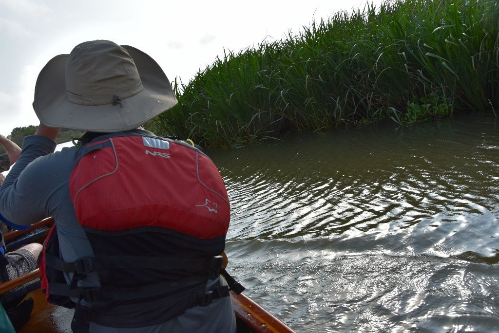
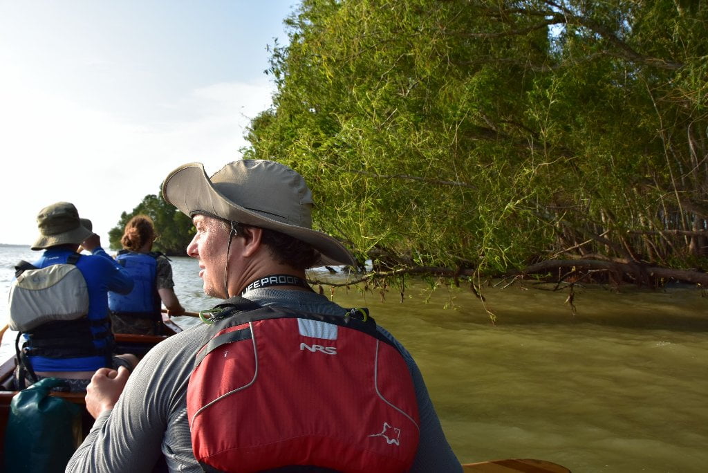
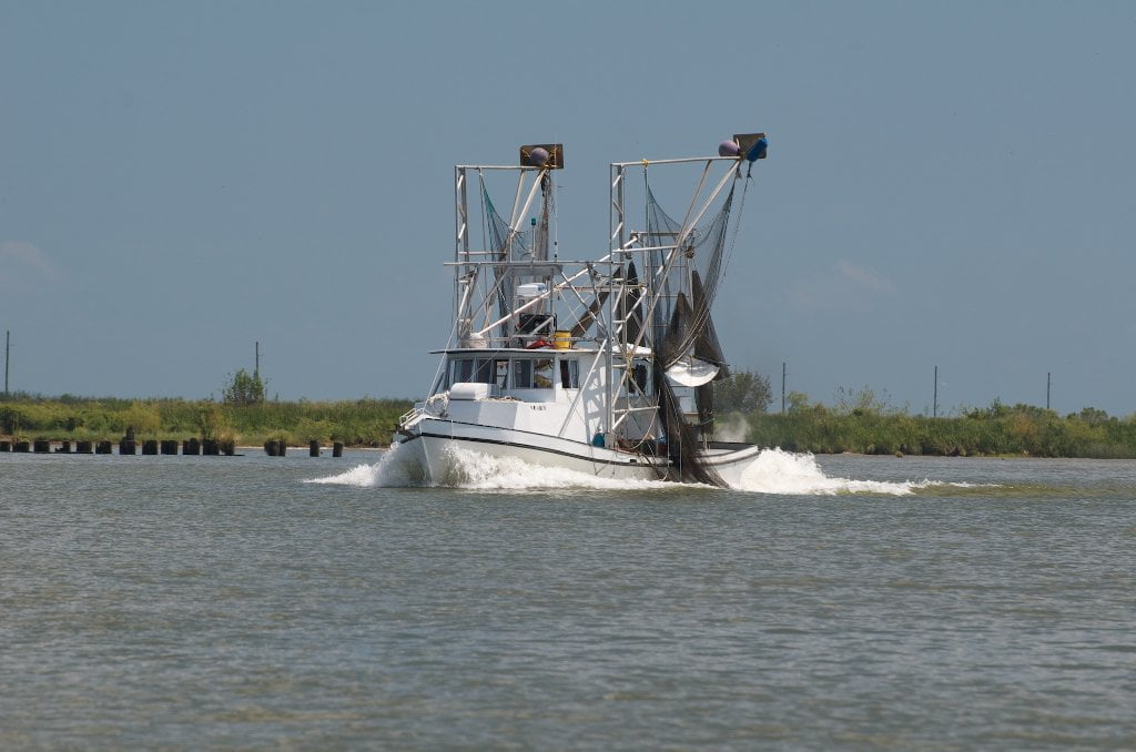
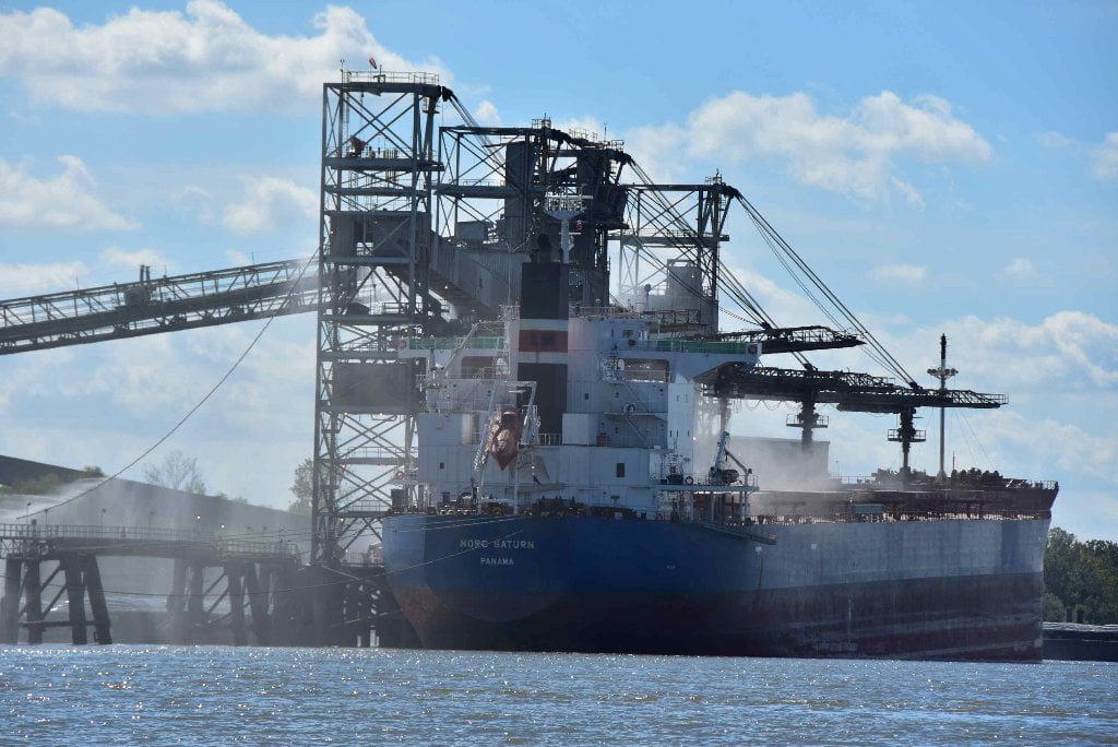
What is the difference between a towboat and a tugboat anyway? We have avoided this question until now in the Rivergator for one reason: above Baton Rouge only towboats are seen. But below Baton Rouge you will be paddling amongst both tows and tugs! So what’s the difference? First of all, one similarity: they both push, and normally don’t pull. Tows push barges. Big tows push big fleets of barges all cabled together with 1” steel cable and winched tight. Tugs on the other hand primarily service freighters and the big ocean-going ships (like container ships or cruise ships), usually in assistance with anchoring, docking, or disembarking. Tows have flat faces to firmly attach the flat end of barges. Meanwhile tugs have pointed noses, and v-hulls, for better maneuverability and speed on the river. Tows travel slow and methodically with rear engines doing all the work. Tugs move fast, with both powerful rear propellors but also bow thrust. Tows can make big waves, but Tugs make even bigger waves and sometimes create glistening tall wakes with rolling crashing waves that can result in capsize for smaller vessels like canoes & kayaks if you get too close. The good news for paddlers is that tug pilots are super-vigilant about smaller vessels, and will almost always slow down (or even stop) for you as you paddle past. River pilots in southern Louisiana display this courtesy almost universally, which is very much appreciated! On the other hand, the bad news is that they might not see you when they are in the middle of their work, or on a rainy day, or most frighteningly on a foggy day. Imagine paddling into a bank of fog, and then hearing approaching crashing waves coming from a tug that didn’t see you and didn’t slow down. This could be the worst scenario possible. For this reason the Rivergator recommends that you stay on shore in foggy conditions.
For more dicussion of tows and paddling around them, go to Rivergator Appendix: https://www.rivergator.org/river-log/stlouis-to-caruthersville/stl-car-appendix/pg/34/
Stay off the River in Fog
Chemical Corridor has more foggy days than any other stretch of river below St. Louis, due to the high humidity and high likelihood of temperature differences between warm Gulf airs and cold river water. Personally, my most frightening river experiences have all involved fog. I’ll share some of these harrowing stories as they come up in the Rivergator. Like Huck & Jim found out on their raft, fog can lead to disaster. You can become separated from your party, miss your landing, or worse yet run into something you didn’t see and have no time to maneuver around. The lesson is plain: stay off the river on foggy days. Fog generally is thickest around dawn. After sunrise it might linger for a while, but on most days will gradually lift. Stay at camp and enjoy the respite until you can clearly see across the river — as well as upstream and downstream. If you can’t see the river above and the river below you will not be able to stay out of the way of freighters! We were once camped below a refinery on a foggy morning, and made a bad decision that almost ended in disaster. We could see the opposite shore quite clearly, but not upstream nor downstream. We set out thinking the fog was lifting. As we crossed over we realized our mistake: the only reason we had a clearing across the river was due to the heat rising from the refinery! The glowing refinery had carved a wedge of clear air as the fog drifted over and across the river. But as soon as we drifted downstream we left this narrow window of blue sky and the thick fog battened its hatches once more, locking us down tight in its cold grey clutches. We almost ran underneath a line of fleeted barges as result. Quickly thereafter we dove into shore in between fleets and awaited clear skies on shore with frightened thumping hearts. The clear skies returned, but our hearts kept thumping for a long time afterwards.
Jim lost his opportunity for escape from slavery when a fog descended on him and Huck as they floated into and then past the mouth of the Ohio River. Jim lost his home due to fog. But the Quapaw people gained their new home due to the same. Here’s the story: when the Sioux nations migrated westward their plan was to turn up the Mississippi River and gain entrance to the open plains to the west via the Middle Mississippi and the Missouri Rivers. When the last nation reached the Ohio River confluence a fog descended and they missed the turn and instead floated hundreds of miles downstream in their wooden dugout canoes until finding a suitable settling place to relocate at the Arkansas River confluence. Hence they became the downstream people, a literal translation of their name, the Quapaw. One of their counterpart tribes, became the Omaha, the upstream people.
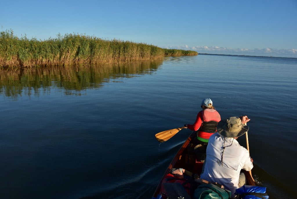
Camping Below Baton Rouge
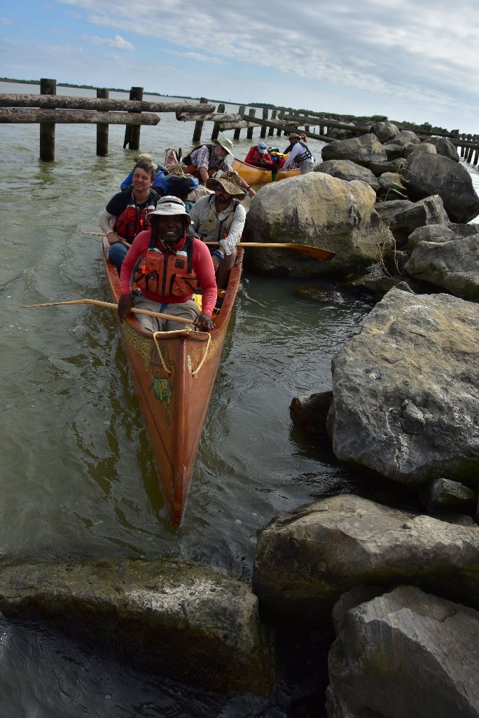
The river changes below Baton Rouge. No more giant river islands with beautiful giant beaches. Nice sandbars to easily stop and stretch your legs become greatly limited below Baton Rouge, and even more so below New Orleans. Possible campsites, picnic places, and dry spots are difficult to find, even in low water. The further downstream you go the more controlled the river becomes with rock, rip-rap, revetment, and other means of concrete control. This makes landings hazardous and necessitates lifting your vessel out of the water and over the rocks to a place of safety. Oncoming crashing waves from freighters can also make landings extremely challenging. And an entirely new factor comes into consideration: tides start exerting their influence below New Orleans. You will have to pull your vessel high above the waterline and strike your camp equally high. Freighters displace so much water the entire river level will drop as they approach, and then later rise like a mini-tsunami, accompanied by 3-4 foot waves, sometimes taller in the right conditions, which can reach far up the bankside. The Rivergator will help you locate the best places with the highest grounds, sometimes in the near vicinity of industry and sometimes near road access. Use your best common sense and internal radar to decide what’s safe, and what’s not.
Three Islands
Below Baton Rouge there are precisely three possible islands ideal for picnicking or camping, and these are the very last three islands of the Lower Mississippi! Each is colorfully named, and individually endowed with special properties and attributes. They are Plaquemine Island, Bayou Goula Island, and Bonnet Carre Island. All of these are described in great detail where they come up downstream in chronological order in the River-Log of the Rivergator: Paddler’s Guide to the Lower Mississippi River.


Leave A Comment
You must be logged in to post a comment.