The Lower Mississippi River Water Trail
Defunct Boat Ramps
Several Boat Ramps identified on the USACE 2007 Lower Mississippi River Maps are either compromised, washed away or defunct, including Cargo Carriers Boat Ramp (near Baton Rouge 228 RBD), Donaldsonville (175 RBD), Carville (191 LBD), Bringier Point (173.7LBD), and Old Luling Ferry Ramp (120.8 RBD). These questionable boat ramps will be described in greater detail where we get to them further on in the Rivergator.
New Boat Ramps
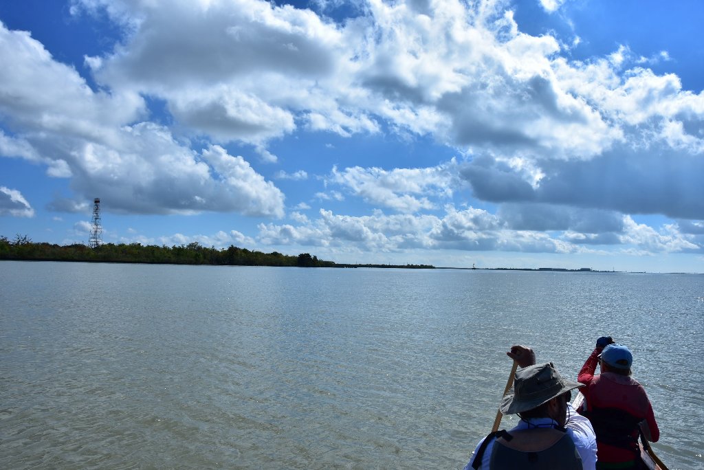
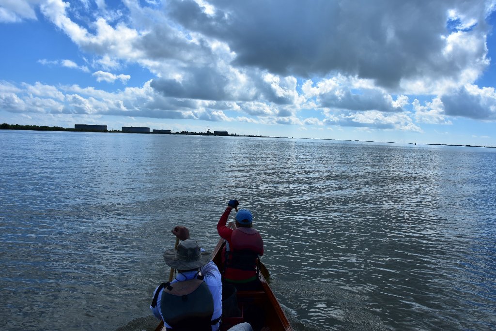
On the other hand, several new boat ramps were discovered in the last Rivergator Exploratory Expedition in Fall 2015, including some very strategic places that could be extremely helpful to paddlers. These are all primitive boat ramps, but fully functional for any access needs you might have in your canoe, kayak or paddleboard. You will want to carry your vessel up to a safe place out of the reach of waves — or up to your vehicle . The first is opposite Plaquemine Island at the base of Manchac Point at 210.4 RBD at Morrisonville Landing 25 miles south of Baton Rouge. This is a primitive gravel and rip-rap landing found off La Hwy 988 where it cuts north around Dow Chemical). There is also a new primitive gravel ramp south of New Orleans in Plaquemines Parish at RBD mile 78, which is open to the public. Lastly, of great service to paddlers in their last days on the Lower Mississippi is the skinny rock & gravel ramp at 43 RBD near Happy Jack (Port Sulphur). Primitive Boat Ramp. A gravel road runs over the levee from LA Hwy 23 to a primitive one lane boat ramp at the North end of the town of Port Sulphur. Ideal resupply place! 2-hour cafe nearby, and full-service grocery store.
Paddlers: please comment on any changes in the condition of these, and any other boat ramps along the Lower Mississippi. You can use the comments function which is found on every page of the Rivergator.
Paddling with Freighters
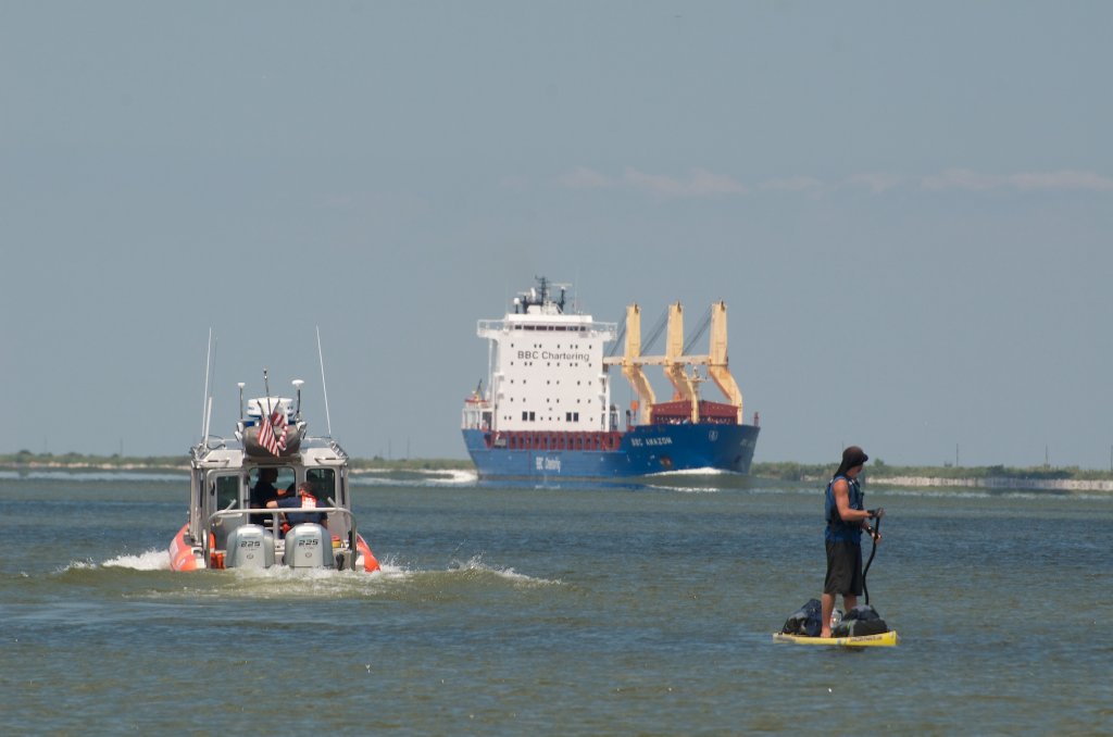
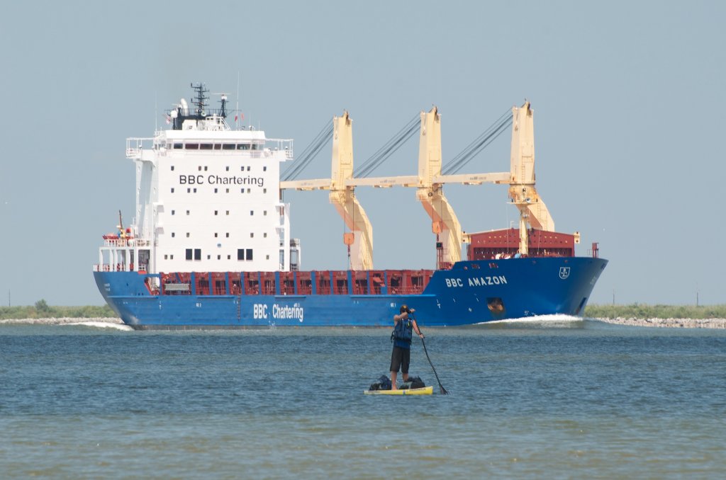
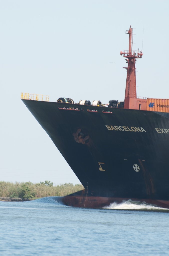
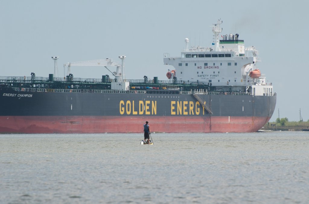
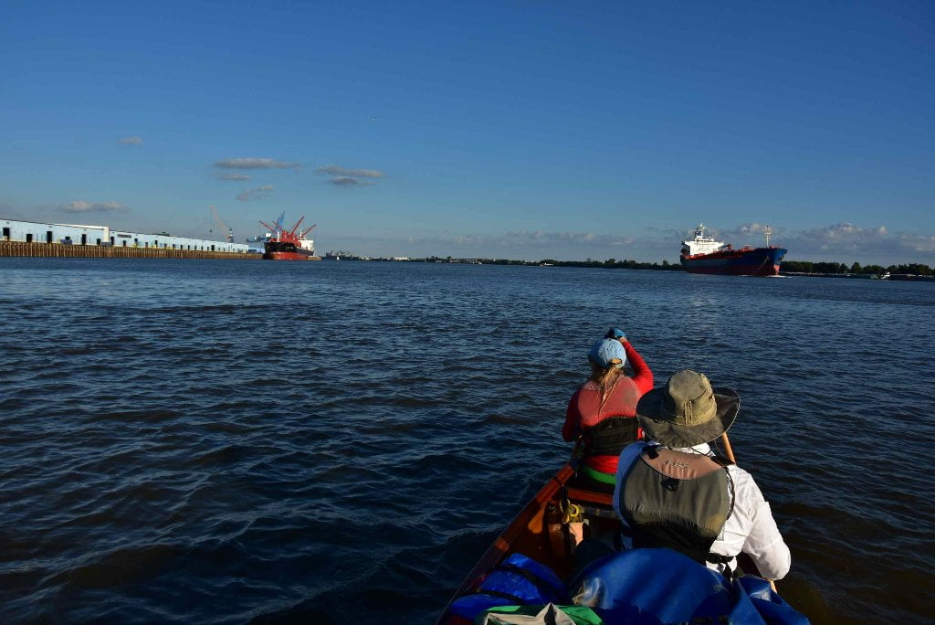
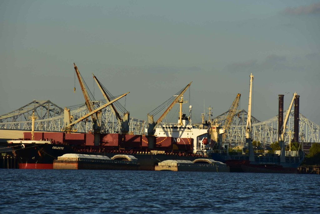
You’ve learned to paddle with towboats, and now it’s time to learn safe paddling with freighters. The “Wow” factor is huge. The pucker effect equally dramatic. Freighters add deep meaning to your experience thus far, and a visceral thrill to the ambience of the river. Imagine coming around the bend and being confronted with a factory-sized vessel plowing its way proudly right down the middle of the channel with a frightening whitewater bulb at its prow and crashing waves emerging in its wake. If you’ve ever wondered where all of those tows are going with all of that grain and scrap steel and coal, freighters are the other side of the story — they are carrying all of those goods out of the heart of America across the oceans to the rest of the world! In the opposite direction, freighters bring in raw petrochemicals and other raw materials that are transferred to barges within Chemical Corridor and moved north by the familiar towboats you have been paddling amongst since Minneapolis/St. Paul. Maybe you’ve noticed towboats making the river rise and fall as they pass. This is due to displacement. Freighter have the same effect to an even greater degree. Watch especially for big container ships or cruise ships. The bigger and heavier the ship, the greater the displacement. This could result in total capsize of your canoe or kayak and loss of gear. A big ship might cause a two foot change of water level, with waves reaching three feet or higher. If your landing or campsite is not three vertical feet above high tide you had better look elsewhere for better protection! Ben Quaintance paddled this stretch of river in 2015 and had a good idea: carry a string line and level and use it to carefully gauge your vertical clearance with a small tape measure. If you are under 3 feet above water level at high tide you or your vessel might get wet with next passing big ship!
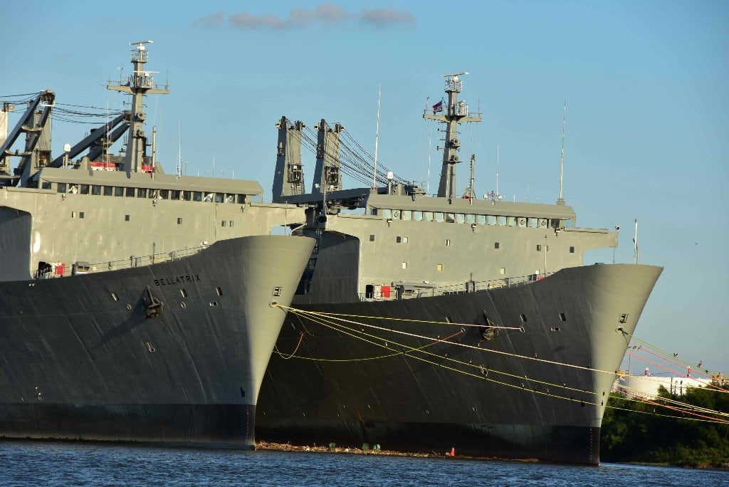
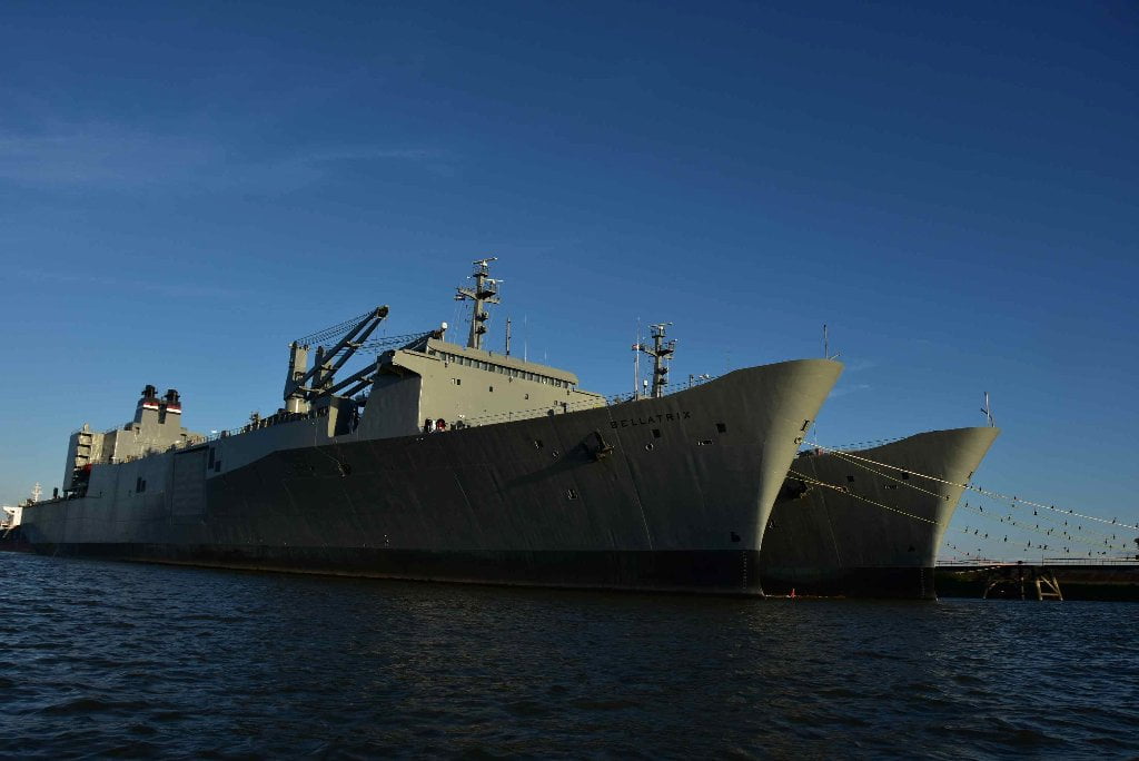
Fleeted Barges
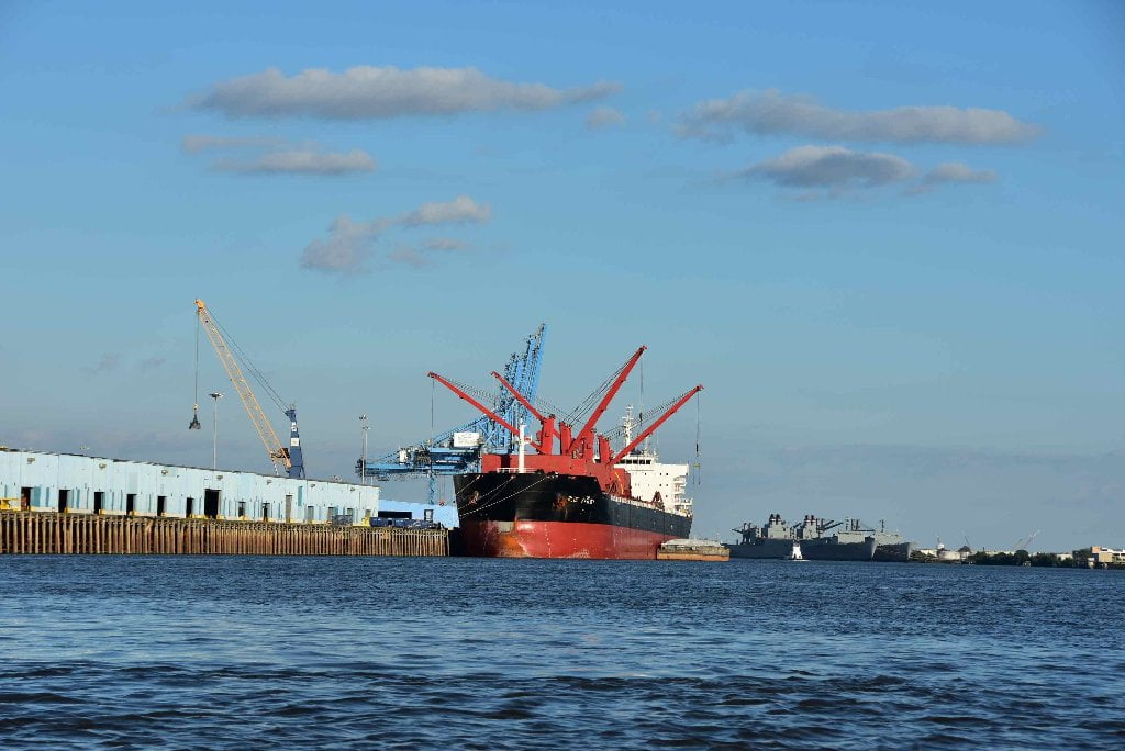
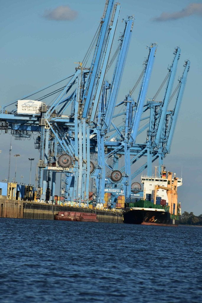
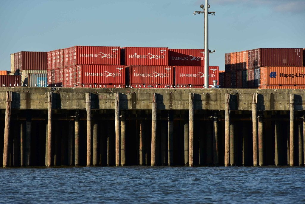
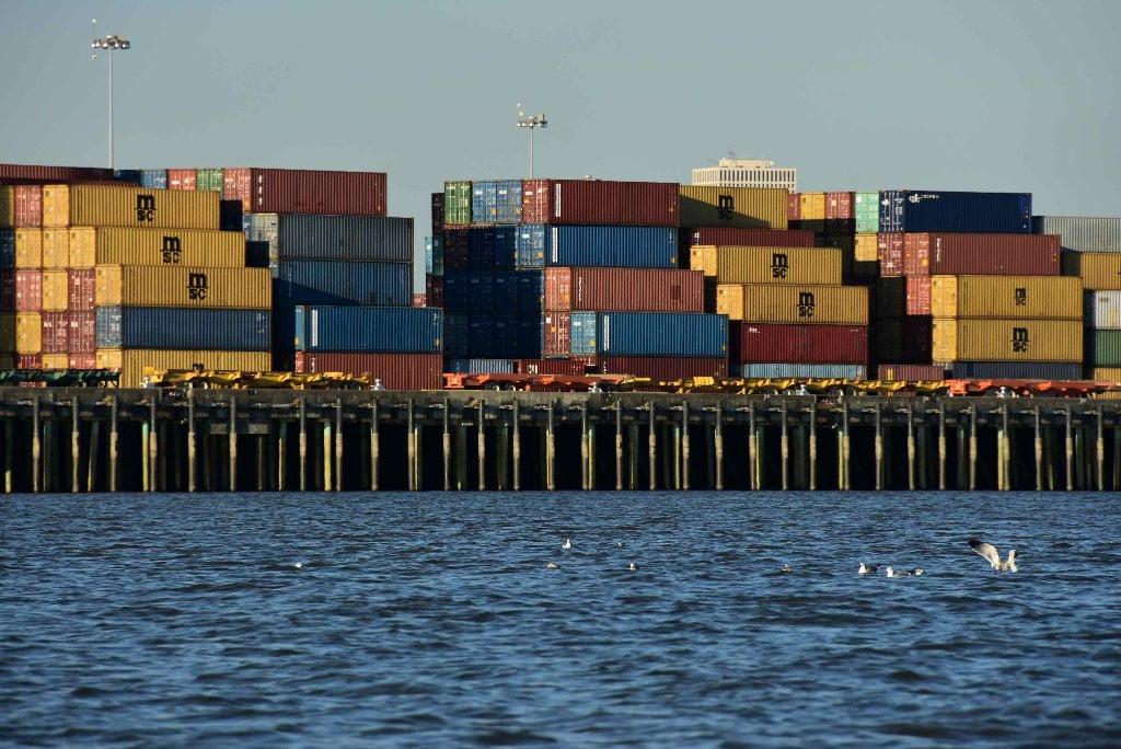
hat are fleeted barges? When any industrial or agricultural facility are filling or emptying barges, they tie them up along the bank of the river, sometimes one at a time, but more often in longer lines multiple barges deep. Sometimes they’re only one barge deep, sometimes they’ll tie more than one side-by-side. In chemical corridor down below Baton Rouge they’ll sometimes tie as many as a hundred long with ten or twelve deep! Most barges measure 35 x 250 feet but petroleum barges are often longer. The top end of any fleeted barges is an extremely dangerous place. Always avoid paddling anywhere near the upstream sides of barges — where the water is pushing in and underneath their top ends. It might look like you could simply hop aboard in case of emergency, but you won’t be able to! This is a trick of perspective on the big river. They are much higher off the water than they look.
They might seem innocuous since they aren’t moving, and they’re tied to shore — but voyageurs beware! Fleeted barges create one of paddler’s worst nightmares: paddling or being pushed (by big boils or strong winds) under the front of a line of fleeted barges. Several years ago a yacht lost power and was pushed sideways into a line of fleeted barges that was nosing upstream along the main channel near Tom Lee Park in downtown Memphis. The boat was immediately flipped over and 3 out 5 people did not return. If this happened to a full-sized yacht, you can imagine what would happen to a canoe — and did happen. Keep reading. Another tragedy: a pair of canoeists had paddled 2,000 miles from Lake Itasca, Minnesota, and were looking forward to completing their expedition in New Orleans when strong winds pushed them into and then under a wide line of fleeted barges down below Baton Rouge. They were never seen again.
Small Tows in Harbors
The primary hazard to paddlers on the Lower Mississippi is the one powering through the current — the towboats. Smaller “docking” towboats tied up in waiting look innocent, but be constantly vigilant for un-announced push-offs. Smaller tows working within Chemical Corridor are often busy in this section moving barges in and out of grain or oil docking, fleeting barges, and performing other necessary maintenance. You might see them suddenly run out off shore to service a passing tow. While big tows will make high rolling wakes immediately behind the tow, these small tows can sometimes create rough wakes with steep and crashing bow waves that will persist for hundreds of yards lateral to the vessel. Even if a small towboat is on the other side of the river, be vigilant for bow waves. Unlike the slow, predictable and ponderous motions of the big tows, the small ones can charge around docking facilities erratically and make quick changes of direction. It’s never safe to assume anything about tow traffic. Conditions are constantly changing and require changing tactics. Your best procedure is to be constantly “on watch” and respond accordingly. Monitor VHF Marine radio Channel 67, and if appropriate announce your presence and intended line of travel. (Note: harbor facilities and docking facilities sometimes use channel 12 or other VHF channels. Inquire locally if you need to communicate).
Buoys and other Hazardous Stationary Objects
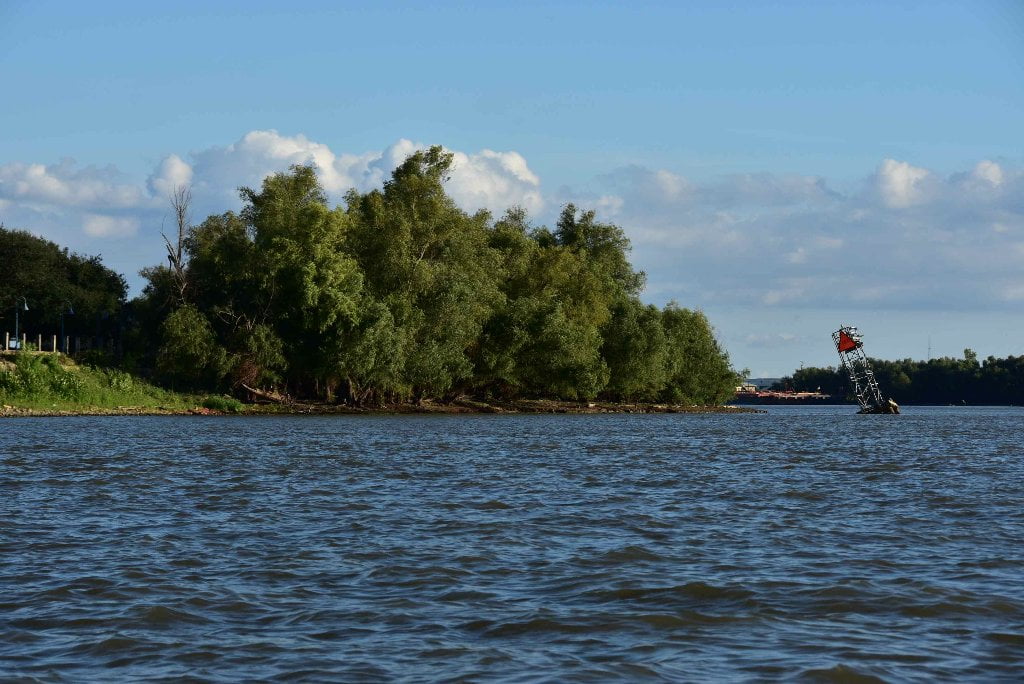
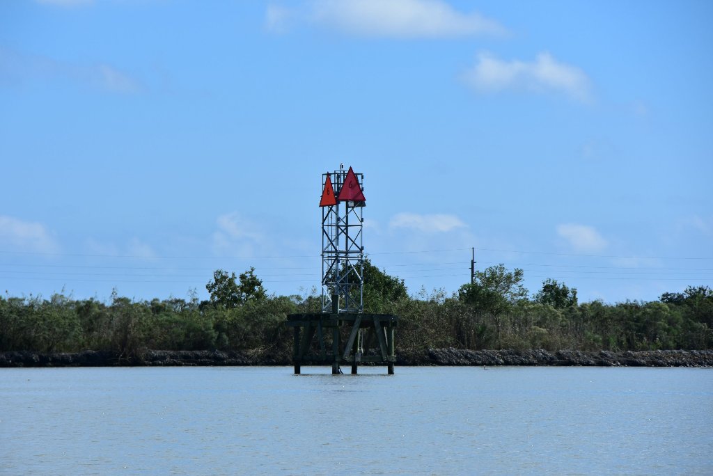
The 3rd most dangerous hazard to river paddlers in Chemical Corridor is a stationary object in a strong current. In smaller rivers stationary hazards include rocks, boulders, trees, snags, bridges, fences, etc. On the big river the main stationary hazards are fleeted barges, but also include docks, piers, and buoys. You will paddle past many docking facilities found within the three mile busy section below the I-10 Bridge. Maintain at least a 100 yard safety distance away from these docks, and more if there appears to be any tow activity. Keep in mind that the wind can blow you sideways into bankside hazards. The river currents can also push you laterally across the face of the river. Watch shoreline landmarks and adjust your angle of travel accordingly. If necessary ferry out and head for the middle of the river, or the far side LBD. There are no buoys bank right through this section of river, because the water is deep all the way to the bank. But if your line of travel takes you into the middle of the river you will find a long line of red buoys (tow pilots call them the “nuns” for cone-shaped tops) marking the far edge of the navigation channel there. Oftentimes they are placed at the ends of wing dams or dikes. And that is indeed normally the case in this bend of the river; the US Coast Guard tries to maintain these buoys in a position of deep water at the ends of what is marked on the map as the “Red Eye Dikes” (5 miles downstream of Baton Rouge extedning from East Bank within Missouri Bend at 224.5 – 223LBD). How deep is the water at the buoy? Towboats & fully-loaded barges draw nine feet maximum, freighters fully-loaded 45 feet. But to add a little buffer the USCG likes to place them at minimum 50-foot depth. This helps accommodate unusual changes of water level in the ever fluctuating Mississippi River.
East Bank/West Bank
In South Louisiana people and pilots along the Mississippi River say “West Bank” for one side of the river, and “East Bank” for the other. Don’t use your compass for determining this distinction. East bank could be found north, south, east, or yes, even west of where you are on the river. West bank the same. If you divided Louisiana in half using the Mississippi River as the dividing line, whatever is towards the rising sun is the East Bank, and whatever is found towards the setting sun the West Bank. In general East Bank houses more industry and more big cities, such as Baton Rouge, Kenner and New Orleans. West Bank is less populated, but still busy enough, and includes the cities of White Castle, Donaldsonville, St. James, Algiers, and further down the last town at the end of the road, Venice.
We’ll keep using LBD for left bank descending and RBD for right bank descending on this stretch of river. But we’ll also use the East Bank/West Bank labeling to help with local communication. As you listen to VHF Channel 67 you’ll notice all of the pilots using this designation, and if you wish to talk to them do the same.

Leave A Comment
You must be logged in to post a comment.