The Lower Mississippi River Water Trail
Rivergator Appendix 7
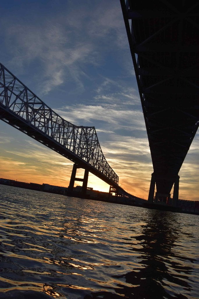
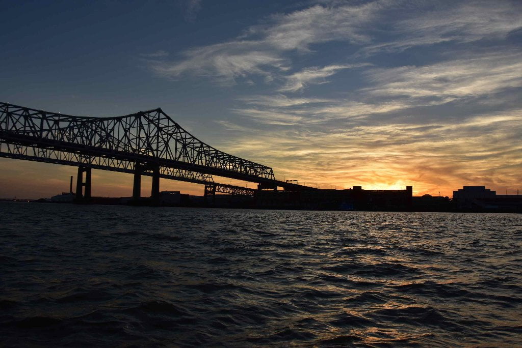
Baton Rouge to Gulf of Mexico
Paul Orr Story:
Myths and Misconceptions
Paul Orr Story — Myths and Misconceptions
“It’s illegal isn’t it?”
“Don’t you have to have a permit?”
“The snakes (or hogs, or coyote) will get you!”
“You can’t canoe on the Mississippi River!”
“Ya’ll are crazy!”
We heard questions and statements like these many times on the trip, especially that last one. “Ya’ll are crazy!” We even got one or two of, “Ya’ll are f#@&ing crazy!”
Even those who had less emotional reactions seemed perplexed that anyone would paddle down the Mississippi River in South Louisiana. That doing so was somehow impossible despite the evidence right in front of them. The physical evidence of us being there and clearly having been paddling for at least a while on the Mississippi River did not seem to register as evidence that you can, in fact, paddle down the Mississippi River in South Louisiana and survive.
But there was also something else. In their faces after saying these things there was almost always a glimmer of admiration; a twinkle of excitement; a pang of jealousy; the realization that what we are doing is grand adventure in the spirit of all great human adventuring and that deep down they want to experience what we are experiencing and if they were a little less bound by the fear that that they inherited about the Mighty Mississippi they might just try it.
And thus the importance of the Rivergator and Quapaw expeditions which are helping to counteract these fears of the Big River and normalize the presence of paddlers. The simple presence of paddlers on the Mississippi can be a strong message to people standing on the banks that this is place for all of us, a place for them, and a place we should care about.
For too long the Mississippi River has been the nearly exclusive domain of large commercial vessels. The citizen living and working along the river have felt excluded. The river is no longer their river but a scary and dangerous place that is only for industry. This has lead to an ever increasing lack of stewardship and care for the river which allows for the kinds of environmental problems that most of us have at least some awareness of.
I am excited that the Rivergator and all of Quapaw’s endeavors will continue to reconnect everyday people to the Lower Mississippi River. To give then the intimate personal connection to the River that we have and all Americans living in the Mississippi River Basin should have. The more people we have caring about the River, the better we will take care of her. If you may have thought some of the things at the beginning of this writing; call up Quapaw and schedule a trip. You know deep down you want to!
Oh, and to answer the questions:
No, it’s not illegal to paddle the Mississippi River. The Mississippi River is a Navigable Waterway of the United States of America and is available for the use of all citizens.
No, you don’t need a permit (see above).
People are canoeing (and kayaking) on the Mississippi River all the time!
Well, not for canoeing down the Mississippi River… I’ll just leave it at that. ;)

Leave A Comment
You must be logged in to post a comment.