The Lower Mississippi River Water Trail
Rivergator:
Birdsfoot Delta:
Venice to Gulf of Mexico
Introduction
© 2015 John Ruskey
For the Rivergator: Lower Mississippi River Water Trail
The www.rivergator.org is a free public use website
presented by the Lower Mississippi River Foundation.
Re-printing of text and photos by permission only with proper credits.
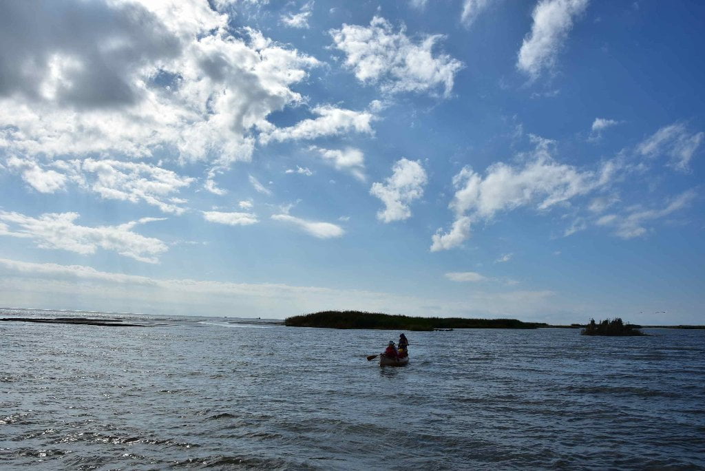
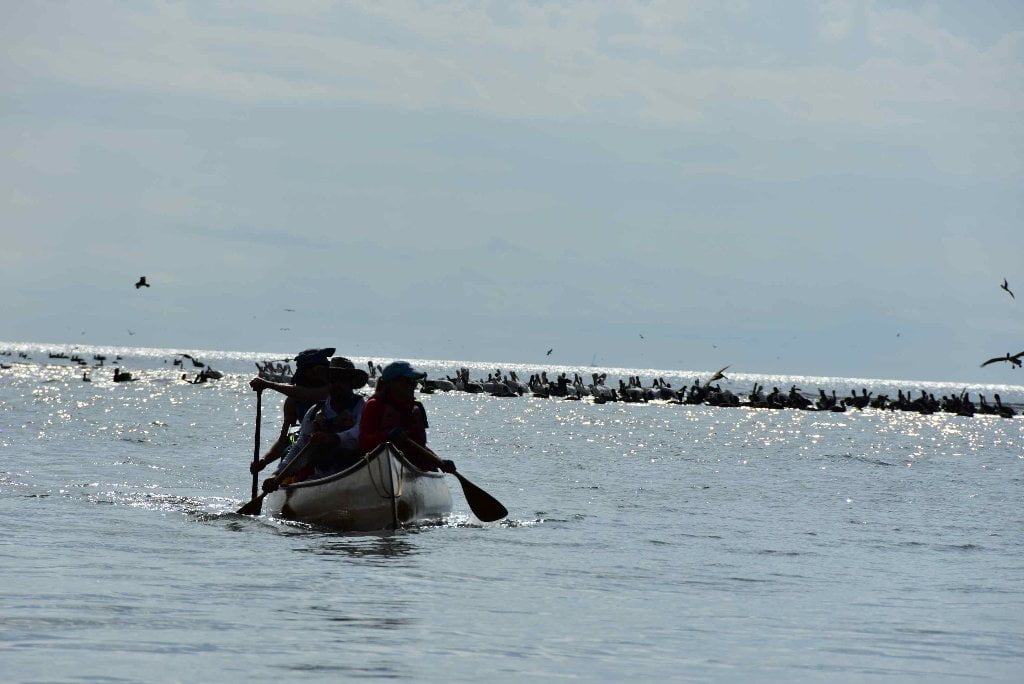
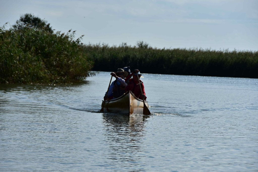
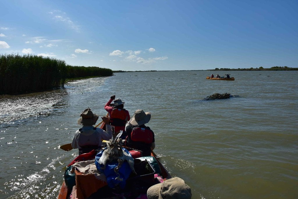
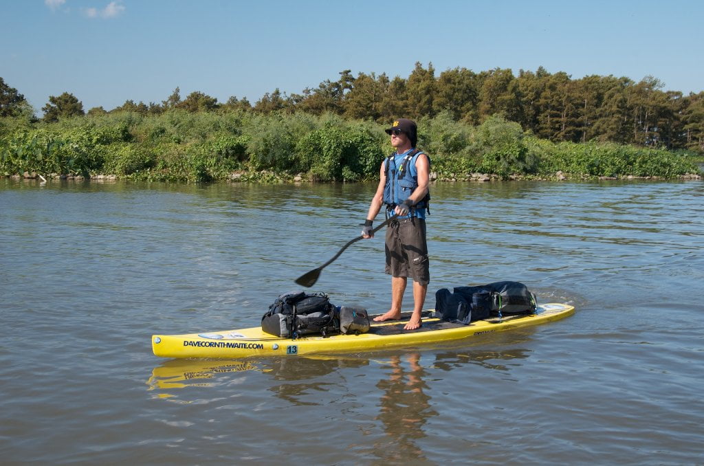
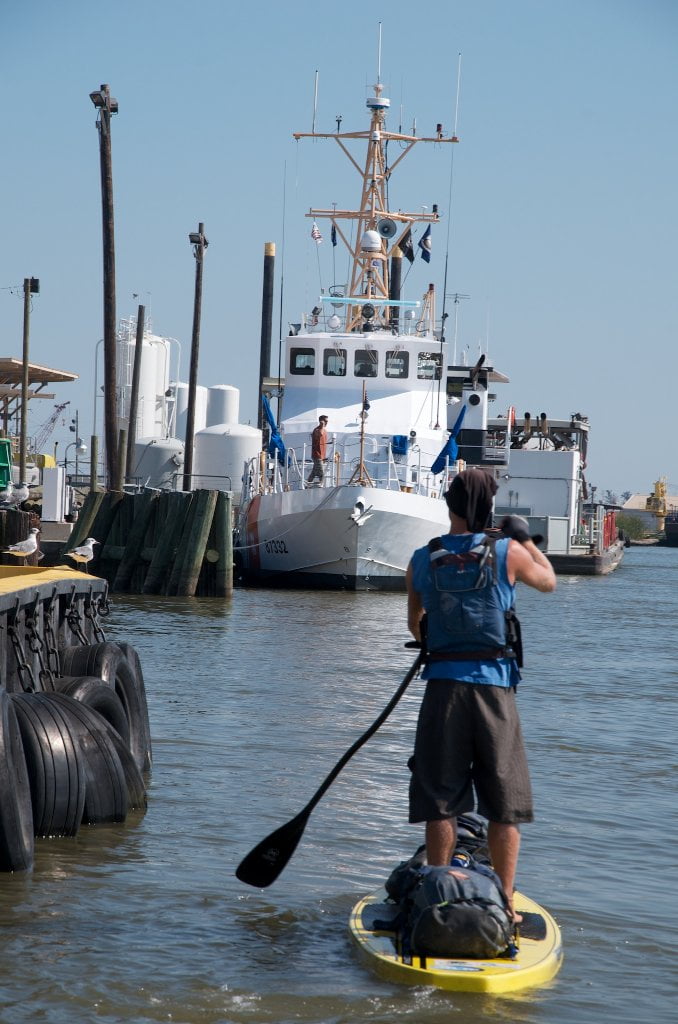
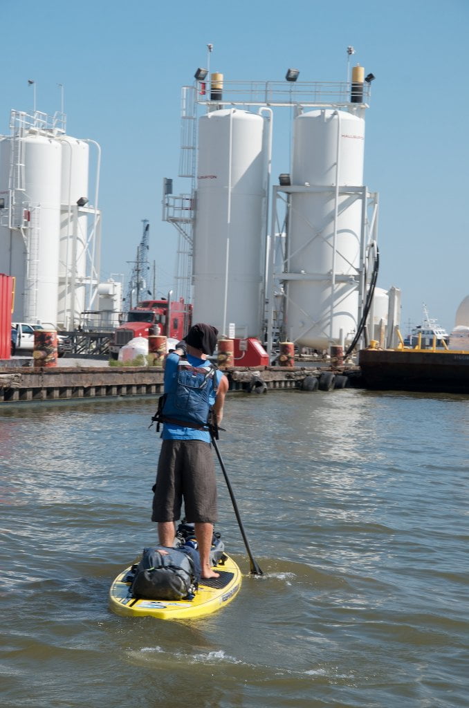
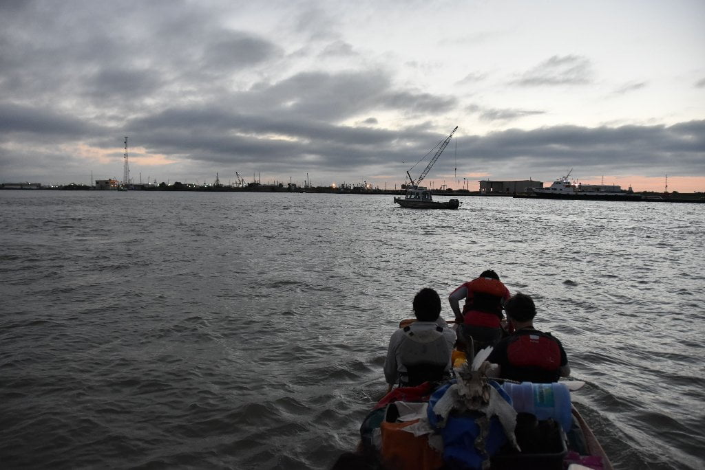
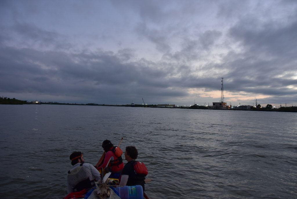
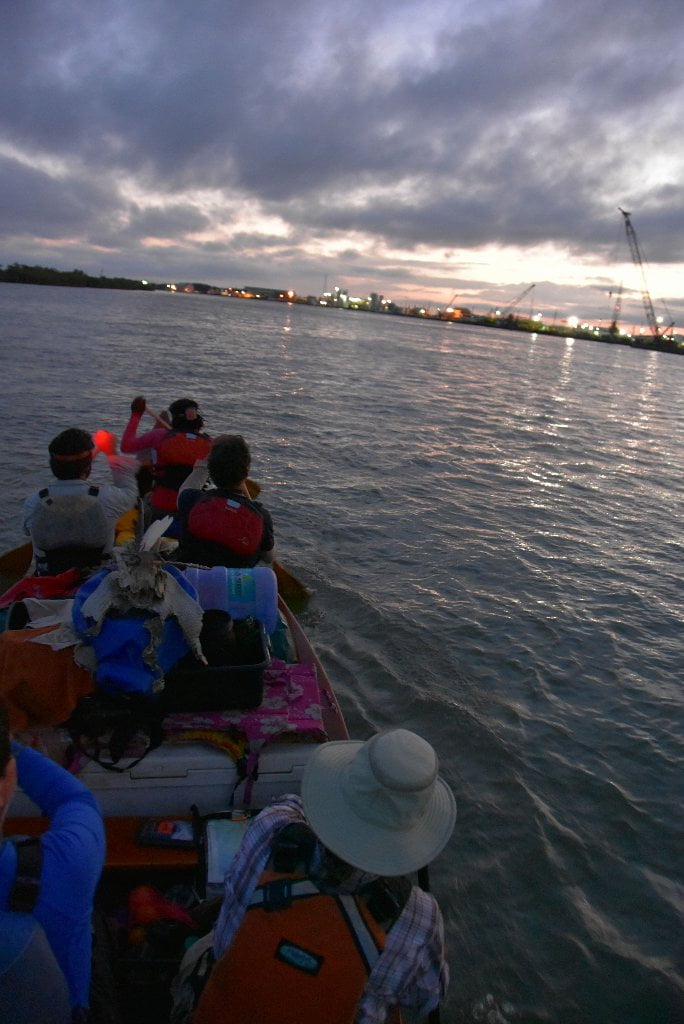
Intro: Venice to the Gulf of Mexico
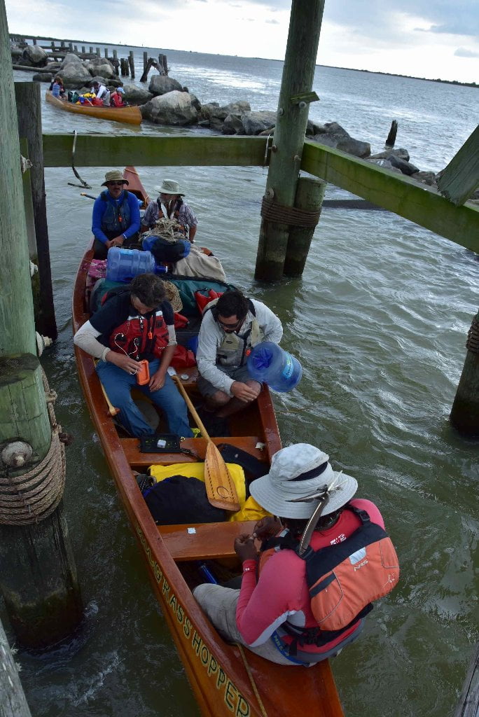
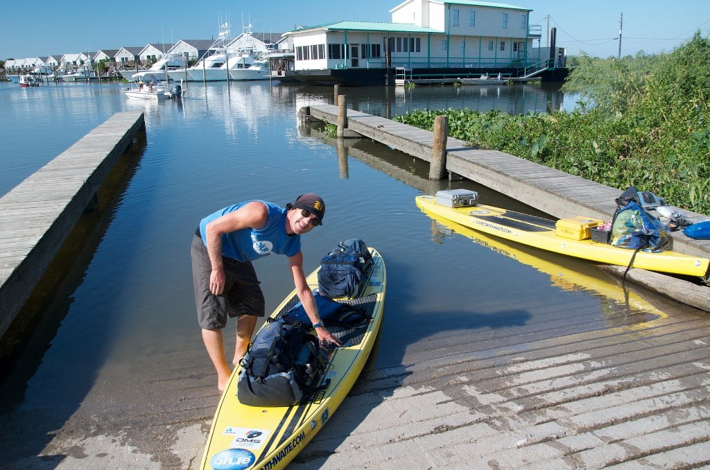
As you paddle out of Venice bound for the Gulf of Mexico, you will want to have already settled a few important questions in your mind for a successful completion of you expedition. The Rivergator has attempted to be helpful in preparing you accordingly. But now you must have a game plan. Chief amongst these questions is 1) Which route will you follow to the Gulf? Next you will want to settle the question: 2) How will you return back from the Gulf? (Paddle or arrange a ride?) And lastly, you will want to have a meet place for your ride home: 3) Where is the best meet spot back in Venice?
One final consideration for some expeditions who are flying back home from New Orleans and have no room for their gear, 4) what will you do now with your vessel and expedition equipment? In this section, the Rivergator will try to provide enough information so that you, dear paddler, can make good decisions concerning these and other matters.
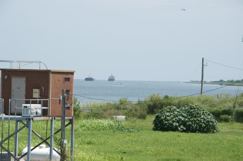
River Levels using the Venice Gage
The best time to paddle to the Gulf is during low or medium water levels (0-2 on the Venice Gage), which usually occurs in the late summer and fall. This is excellent timing for long-distance paddlers, most of whom begin in Minnesota or Montana in May or June, and 3-5 months later are approaching the Gulf of Mexico. Annually the water levels at Venice typically peak during the spring flood season (April-July) and trough in the fall/winter (Sept-February), with intermediate changes in between. The lowest recorded water level was -.77 on Christmas 1989, and the record high peaked at 9.11 when Camille hit, on August 17th, 1969. (Note: the gages were all blown out when Katrina hit, so there is no record of how high it got in 2005!).
To see water levels and estimate river flow below Venice in the Birdsfoot Delta, use the Rivergages.com station readings for Venice:
http://rivergages.mvr.usace.army.mil/WaterControl/stationinfo2?sid=01480&fid=&dt=S
Water levels according to the Venice Gage (VG):
Low Water = 0 to 1 VG
Medium Water = 1 to 2 VG
High Water = 2 to 4 VG
Bank Full = 1 VG
Flood Stage = 4 VG and above
(VG = Venice Gage)
Flood Stage Warning:
If the Venice Gage is 4VG (at slack tide) or above the river is in advanced flood stage, and paddlers are advised to stay off the water. Above 4VG paddlers will encounter fast and turbulent water conditions, especially around docks, pilings, and when attempting any bankside approaches or landings. Very limited access. Most landings and approach roads will be underwater. Most islands will be gone. No dry camping will be found. All sandbars and ocean spits will be underwater. All islands will be covered by flooded forests full of snags, strainers, sawyers and all other dangerous conditions associated with floodwater moving through trees. Docks, wharves, dikes and any other man-made objects will create strong whirlpools, violent boils, and fast eddies. Towboats and workboats will create larger waves than usual. Freighters will have to push harder to get upstream which results in even bigger waves. The Rivergator will not describe the river and its islands at any levels above flood stage 4VG.
Weather and Tides
In the week before reaching Venice for your final push to the Gulf paddlers would be well advised to monitor the weather and tides. Obviously you want to avoid paddling to the Gulf in oncoming severe weather, or hurricanes. Ideally you will want to make your final paddle in good weather and reasonable winds. You will also want to time your Gulf arrival as closely as possible for the benefit of the tides. Try and ride a low tide out, which will add to the descending speed of the river. And try to catch the high tide coming in, which will aid your paddle back upstream.
Wind Direction and Speed
For the weather.gov at Venice, go to: http://forecast.weather.gov/MapClick.php?lat=29.2772&lon=-89.3548#.Vl5p4CifM20
Pay particular attention to the wind speed and direction. As with other sections of the Mississippi, a good rule of thumb is stay on shore if the wind is blowing above 15 mph in your face, and 20 mph in any other directions. Wind direction might effect which Pass you take getting to the Gulf. In strong south winds you might want to avoid South Pass. Then again, you could battle south winds down South Pass and later enjoy a tail wind as you paddle back up to Venice. Ideally you would drop down into South Pass with a 10mph North wind, spend the night on the South Pass Island Beach, and then wake up the next morning the wind having shifted to the south, and paddle back with a 15mph South wind! If only paddlers were so lucky. Most likely you will have headwinds regardless of what you do. That’s the way it always seems to work out. Like bicyclists, we are sensitive to the air, and so any any slight motion seems to be a headwind.


Leave A Comment
You must be logged in to post a comment.