The Lower Mississippi River Water Trail
-6 to -8 Baptiste Collette Jetty
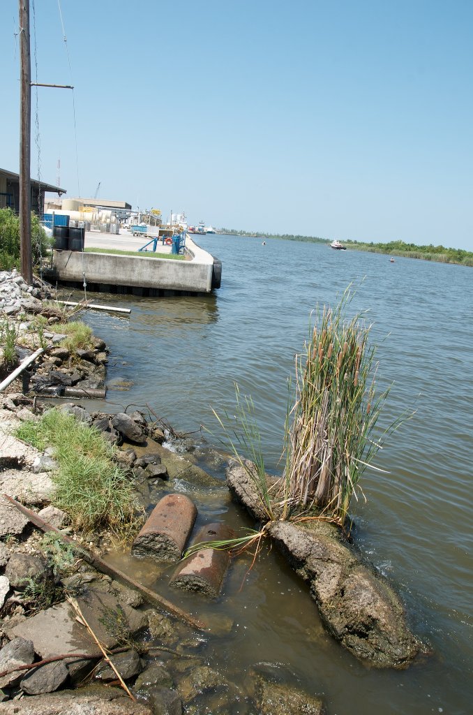
From -6 to -8 a long jetty lines both sides of Baptiste Collette Bayou making it very dangerous for paddlers, and impossible to reach beaches and points of interest behind.
10.5 The Jump: Entrance to the Venice Harbor
(1 mile to Tiger Pass, 1 mile down Tiger Pass to takeout at Cypress Cove Marina Boat Ramp, or go 1 mile further to Venice Marina Boat Ramp)
Paddlers seeking the last possible public boat ramp for connection back to land should enter the Grand Pass through “The Jump” and then into Tiger Pass, continue another mile and make your ultimate landing at either Cypress Cove Marina or the Venice Marina. Food and lodging available at both. $10 launch or landing fee at Venice Marina. No charge at Cypress Cove. Keep reading below for more information.
Directions to the Marinas in Tiger Pass:
One mile down Grand Pass, bear right at Tiger Pass. One mile further will bring you to Cypress Cover Marina, an oasis for paddlers and fishermen in the otherwise very industrial Venice waterfront. Look for the third major opening to a harbor, just below a fish cleaning station and then a narrow row of fishing condos. Cypress Cove Marina would the best place to tell your ride to meet you for your return home after your Mississippi River trip (whether you paddle back from the Gulf, or hitch a ride with a powerboat). Cypress Cove is closer (by a mile) and there is no charge. Venice Marina is larger, busier, and there is a $10 charge for boat ramp use.
Cypress Cove Marina
235 Cypress Cove Rd
Venice, LA 70091
cypresscovevenice.com
504-534-9289
Venice Marina is another mile beyond Cypress Cove. Continue down Tiger Pass to where it splits at a T-intersection. Go right (SW) and take the first opening on right bank descending into the Venice Marina. The boat ramps are located in far NE corner. If you would like you can find food and arrange overnight accommodations here. Inquire at the Marina store, or visit website listed below for reservations.
Venice Marina
237 Sports Marina Rd.
Venice, LA 70091-4437
info@venicemarina.com
504-534-9357
http://www.venicemarina.com
10.4 RBD Grand Pass
- U.S. Coast Guard Station
- US Fish & Wildlife Station
- Tiger Pass
- Cypress Cove Marina
- Venice Marina
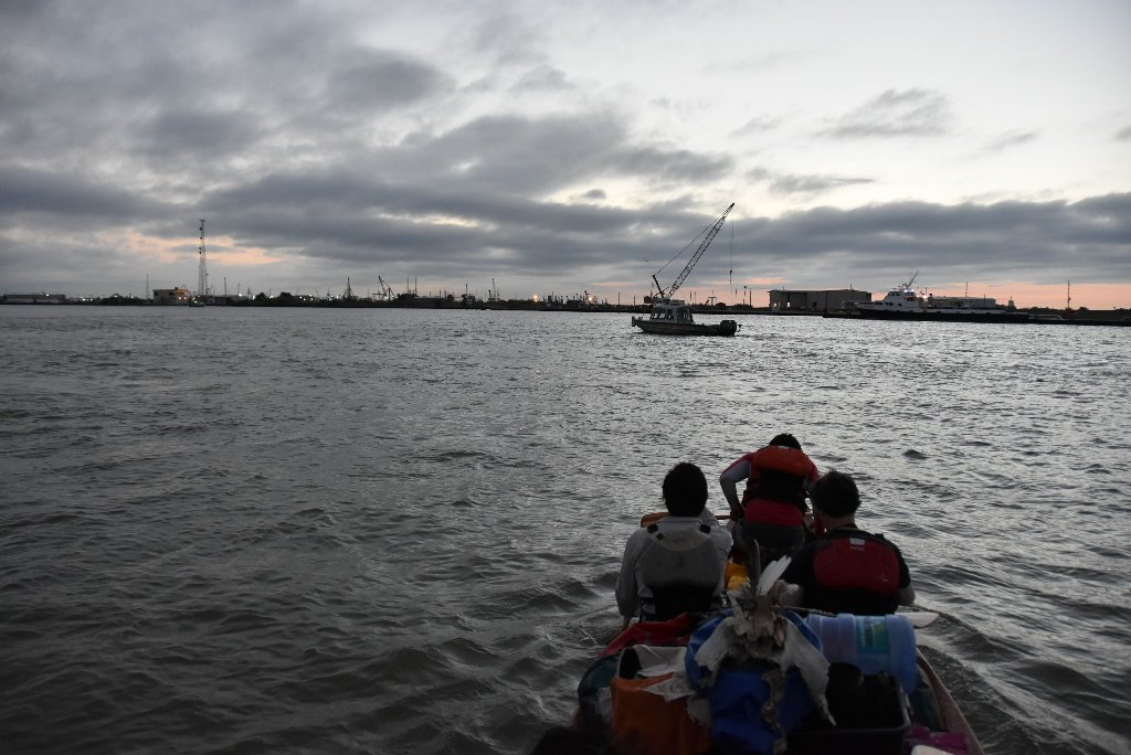
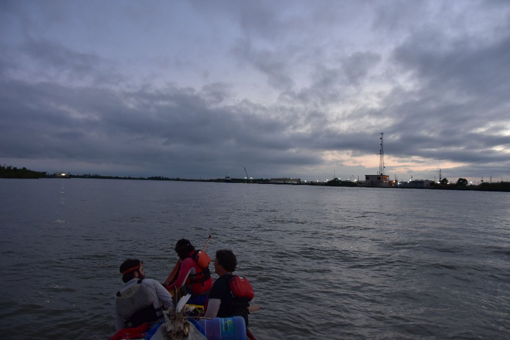
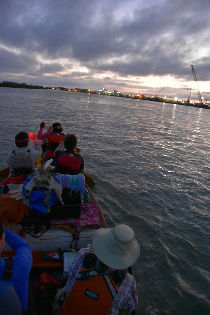
Grand Pass
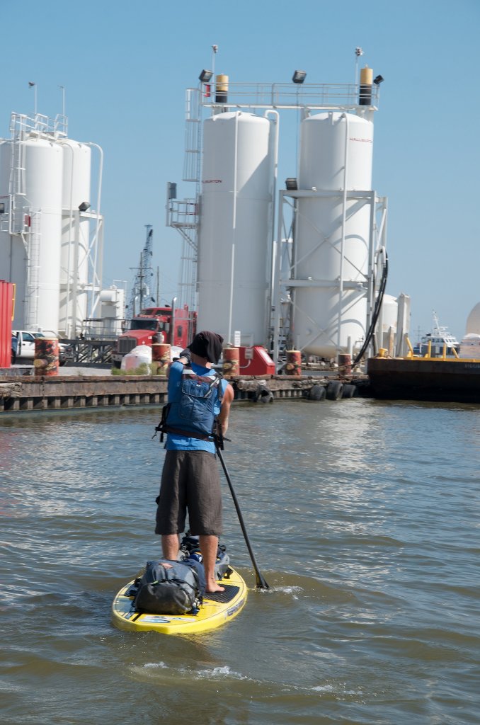
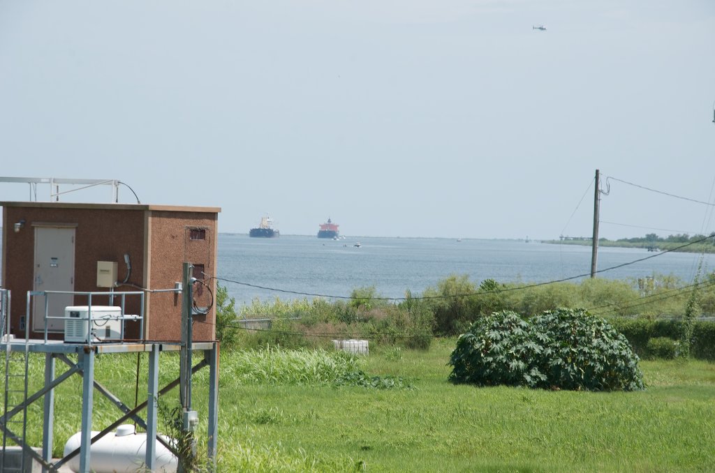
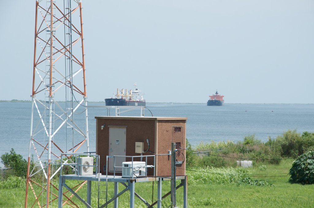
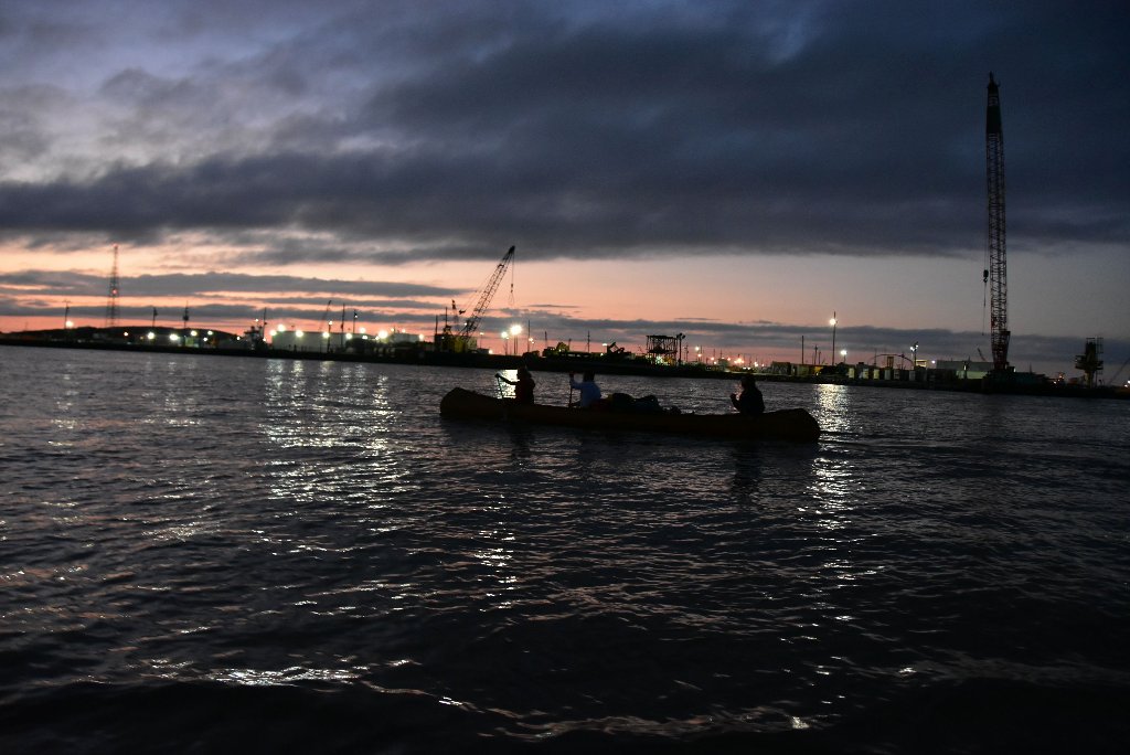
Paddling down Grand Pass and then Tiger Pass canoeists, kayakers, and paddleboarders will see a mixture of light industry and fishing docks. The USFW and US Coast Guard are also stationed here. You will discover representatives of many of the big oil companies such as Exxon-Mobile, Shell, Conoco, and Chevron, who have set up offshore supply and exploration headquarters in Venice, and then other big companies who service them such as Haliburton and Schlumberger. The only big oil you won’t find any evidence of here in Venice is BP. On the other hand, plenty of BP oil remains deep in the Gulf, and layered into the mud. Here are the most important docks in order of appearance from the top of Grand Pass:
Delta Well Surveyors, Cortech Industries, Patterson Rental Tools, Dia-Log Co. Dock, Newman Crane Services, Allied Towing Services, Louisiana Fruit Co., M.I. Drilling Fluids Co., Fulton Seafood, Bud’s Boat Rental, Shell Offshore, Seafresh Seafood Co., Global Drilling Fluids, Milpark Drilling Fluids, Torch Venice Terminal, Jensen Seafood, U.S. Fish & Wildlife Service, The Western Co. of North America, Newman Crane Services, Tesoro Petroleum Distributing Co., Marathon Oil Co., Conoco Corp., Chevron U.S.A, Chevron U.S.A., Berwick Bay Oil Co., Arco Oil & Gas Co., Mobil Oil Exploration, Dresser Industries, BJ-Titan Services, Pennzoil Co., Atlas Wireline Services, Wedge Wireline, Inc., Schlumberger Well Services, Mayronne Drilling Mud & Chemical Co., M.I. Drilling Fluids Co., U.S. Coast Guard Station, Halliburton Services, Dowell Schlumberger Venice District, McDermott Corp., Baroid Corp., John W. Stone, OSCA, Venice Dock, Newpark Environmental Services, Bud’s Boat Rental, Plaquemines Parish Wharf
Tiger Pass
Bear right where Tiger Pass splinters off Grand Pass and paddle one mile to reach the Cypress Cover Marina, an oasis for paddlers and fishermen in the otherwise very industrial Venice waterfront. Look for an opening in the rip-rap bankside to enter this protected harbor.
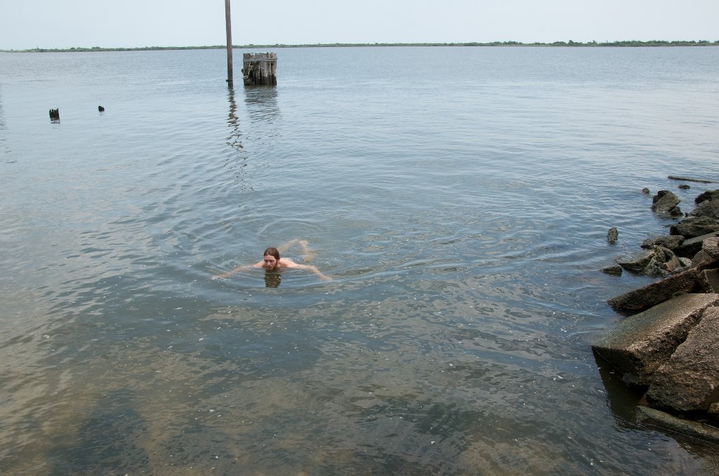
You could continue down Grand Pass or Tiger Pass to access the Gulf in West Bay. But there are no beaches down this route, and it is very busy with lots of oil exploration and recovery. Not recommended to paddlers.
The Wagon Wheel – Venice Salt Dome
Looking at Google Maps, or any satellite image, you will notice a giant circle cut through the marshes SW of Venice, looking something like a particle accelerator. What is this? Some creative landform sculpture? A message to extra-terrestrials? None of the above.
This circular canal is labelled “The Wagon Wheel” on some maps, but what you are looking at is actually the Venice Salt Dome. It was originally just solid wetlands. Oil and gas exploration and production was undertaken here starting around 1940. A manmade canal, 7 miles in circumference, was dug around the perimeter of the salt dome with regular cuts made towards the inside and outside for drilling rig access. There has been a tremendous amount of land loss in the area, in large part due to oil and gas activity.


Leave A Comment
You must be logged in to post a comment.