The Lower Mississippi River Water Trail
4) Island 26 and Forked Deer Island 27
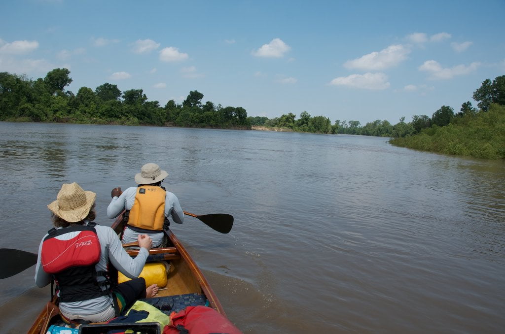
When the river is above 20 CuG the water begins to slowly move into the back channel of Island 26, and by 25 with some flow, and by 30 with good flow. Stay bank right RBD as you come around 25 and look for the hole-in-the-wall opening near mile 800. There is a small island at the entrance that divides the inflow. If there is water flowing in and around the island, you are good to go, enter without hesitation. If there is no noticeable flow, or you can’t tell if it’s flowing in or not, avoid entering or you might be in for a six mile flat water paddle just to make four miles of main channel distance!
5) Forked Deer Bar
Short 2 mile detour off main channel, behind Forked Deer Bar, and back onto main channel.
6) Back Channel Island 30
If the water is high enough (above 25 on the Caruthersville Gauge) and you want to make an Osceola landing, or even if you just want more back channel exploration, you can enter the back channel of Island 30 for a wonderful tree-lined meandering eight mile paddle. Highly recommended (if the water is above 25CuG). If Osceola is you destination, riding the back channel makes things easier: you won’t have to paddle back upstream against the current of the Osceola Harbor to reach the landing! Approx 11 miles back channel, 9 miles main channel.
7) Lower Forked Deer River
For a close-up view of the woods, wildlife, and agricultural fields of Western Tennessee paddle 4.5 miles up the Lower Forked Deer into Chickasaw National Wildlife Refuge. Only possible above 10 CuG. Be ready for blockages, fallen trees, beaver dams, and other obstacles. Watch for snakes in trees and jumping Asian Carp! 9 miles round trip. Paddle as far as you feel like, then turn around.
8) Old Channel Forked Deer
Paddle as far as you can up and into the old channel of the Forked Deer where old willows hang over the water and create a lush green tunnel full of songbirds, while wild turkeys and deer thicken the woods. Rarely open more than a hundred yards. Cool respite on hot day, good place to get out of the wind on a cold day. The old channel of the Forked Deer creates the boundary for Anderson-Tully State WMA which has protected most of the 1st Chickasaw Bluff. If you are lucky enough to catch it free of floating debris you can paddle upstream a meandering mile or so to reach Cold Creek Chute, a Mississippi River Oxbow which boasts some of the best fishing in Western Tennessee (although being an old river channel it is half in Arkansas and half in Tennessee).
rbd 800-796.5 Island 26 and Forked Deer Island 27
When the river is above 20 CuG the water begins to slowly move into the back channel of Island 26, and by 25 with some flow, and by 30 with good flow. Stay bank right RBD as you come around Island 25 and look for the hole-in-the-wall opening near mile 800. There is a small island at the entrance that divides the inflow. If there is water flowing in and around the island, you are good to go, enter without hesitation. If there is no noticeable flow, or you can’t tell if it’s flowing in or not, avoid entering or you might be in for a six mile flat water paddle just to make four miles of main channel distance!
If the current seems sluggish initially it will quicken as the channel narrows behind the island, and then meanders slightly with cultivated fields on either side. Several miles in a paved roadway meets the channel RBD (Arkansas 430) and follows it for several more miles, both back channel and roadway turn to the south. There is a steep concrete boat ramp of 430 at 35.803262, 89.800067. Eventually the pavement veers off and woods return both sides, and the paddler is ejected back into the flow of the big river, although here at the base of Island 26 (RBD 796.5) you must make a decision to paddle hard back to the main channel over the top of a smaller island, or stay with the back channel water and jump in behind the next series of islands, this time the archipelago found behind Ashport Gold Dust Dikes. Keep reading below.
Leave A Comment
You must be logged in to post a comment.