The Lower Mississippi River Water Trail

RBD 767.6-761.5 Island 35

https://maps.google.com/maps/ms?msid=217859314001592865582.0004e43a6af952f1925d3&msa=0&ll=35.52105,-89.955711&spn=0.086065,0.180931

http://goo.gl/maps/53RC8


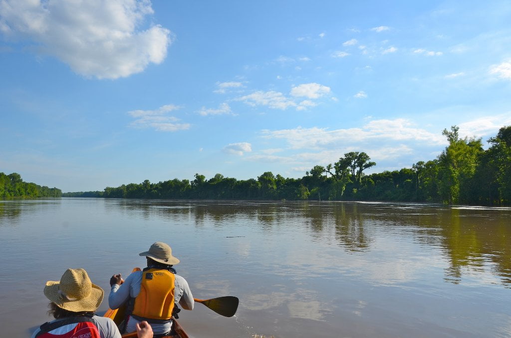
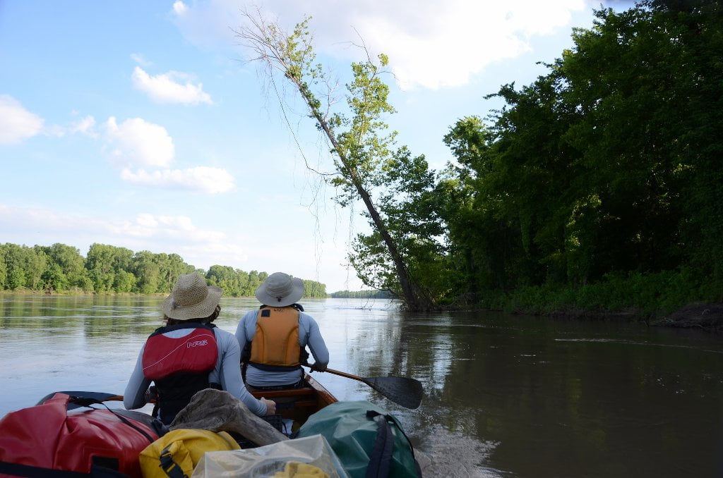
From the main channel of the river 6,000 acre Island 35 seems rather a dull over-farmed section of river you just have to steel your gaze, bow your head, and paddle hard to get beyond, especially after the excitement of the colossal 2nd Chickasaw Bluff above, and the striking beauties of the islands awaiting below.  But beauty is in the eye of the beholder, right?  Island 35 recently sold for $12 million at $2,000 an acre.  Who would pay such a price for such an island, which seems to have no remarkable attributes?  As a matter of amusement and appreciation of this island and of those who probably never set paddle in the water, see below real estate listing for island 35:


Water flow: Good flow.  Island 35: Premier Hunting Club on the Mississippi River

Property type: Recreational Retreat.  Price: $12,118,000. Location: Wilson , AR County: Mississippi Acreage: 6,059.00 Acres. MOPLS#12382


Description: Island 35 is a premier, privately owned hunting property on the Mississippi River near Wilson, AR just north of Brandywine Island. It lies in Mississippi County, AR and Tipton County, TN and can be accessed via road on the Arkansas side of the river. Hunting: Similar Mississippi River hunting lands are highly sought after and seldom change hands. Island 35 has been vigorously managed to maximize wildlife habitat for primarily a trophy deer and turkey population. The standard has been set very high as far as the criteria that have to be met for deer harvest. Boone and Crockett bucks are being taken on Island 35. Doe management is practiced as well to keep the buck to doe ratio in check. Many food plots are scattered throughout the property. Other hunting opportunities include small game, waterfowl and dove. In addition, the owner has had a full time caretaker and farmer on the property since he acquired it. The caretaker/farmer lives on the property. Description of Land: Merchantable Timber acres: 2480 Cropland acres: 600 WRP acres: 1500 Cutover acres: 180 Remaining acres: Food plots, bars, sloughs, lakes, roads, young timber and brush, etc. Timber Value Summary as of 2010: Hardwood Saw timber: 7,850 MBF @ $140/MBF = $1,099,000 Hardwood Pulpwood: 94,820 Tons @ $17/Ton = $1,611,940 Total 2010: $2,711,940 Copies of cruise information are available upon request. Cropland Information: 600+- Acres in cultivation. The cropland is pivot irrigated and has cotton and soybean bases. FSA information is available upon request. The caretaker also farms and has a year to year verbal lease. Improvements: Lodge: There is a new 2400 (30*80) square foot lodge on the property that was just recently built. The lodge has a large master bedroom, 3 guest rooms, 2 baths, including a Jacuzzi tub in the master bathroom. It has a large porch that wraps around the entire perimeter. It has an open floor plan with a large kitchen and island, nice dining area, and very comfortable sitting areas. And they didn’t forget the large mud room for all the hunting gear. Shop: The shop is an insulated 40*40 metal building on a concrete slab. It is big enough to store a tractor and all-terrain vehicles. It also has a nice game cleaning area and sink. Boat launch and Storage Shed: There are a couple of concrete boat launches on the river and one has a large storage pavilion to park boats under. Other miscellaneous: There is no access other than from the north end of the property, and no one has an easement through the property. Access is very controlled. That part of the property to the south known as Engineer’s Bar has a 24 acre lake with great fishing and duck hunting. Duck hunting in the sloughs and the lake is excellent, and even better when the river gets high

Leave A Comment

SECTION MILE ACCESS CITY
Middle Mississippi & Bluegrass Hills / Bootheel 195-0, 954-850 ST. LOUIS TO CARUTHERSVILLE
Chickasaw Bluffs 850 – 737 CARUTHERSVILLE TO MEMPHIS
Introduction  
Caruthersville to Osceola
850 – 737 LBD Options for Paddlers in the Caruthersville Stretch
Above Caruthersville  
Below Caruthersville  
850 RBD Caruthersville Harbor Boat Ramp (1/2 Mile Up Harbor)
849 RBD Mouth of the Carutherville Harbor
849 RBD Trinity Barge Fabrication Plant
847 RBD Blaker Towhead
846.5 Caruthersville
846 RBD Isle of Capri/Lady Luck Casino and Casino Inn Suites
845 – 840 LBD Caruthersville – Linwood Bend
850 RBD – 840 LBD Day Trip: Caruthersville to Booth’s Point
840 LBD Linwood Bend Boat Ramp
839 Caruthersville Bridge
Bridges and Mud: How Deep is the Mississippi Mud  
Several Routes Around Islands 18, 20 and 21  
838 – 835 LBD Island 18 Towhead
829 – 832 RBD Island 20 Dikes and Towhead
823 – 829 LBD Island 21
Routes for the Paddler Around Tamm/Barfield Bends  
820 – 815 RBD Wright’s Point – Tamm Bend
819.3 LBD Mouth of the Obion River
Moss Island WMA  
817.7 LBD Tamm’s Landing and Ed Jones Boat Ramp
817.7 – 801.8 LBD Chickasaw National Wildlife Refuge
No Levee?  
814 LBD Nebraska Landing
815 – 805 LBD Barfield Bend
809.3 RBD Barfield Boat Ramp
806 RBD Tomato Arkansas
805 – 801 RBD Island 25
Paddler’s Options in the Island 30 – Osceola Area  
800 – 796.5 RBD Island 26 and Forked Deer Island 27
803 – 787 RBD Ashport-Keyes Gold Dust
796 – 791 RBD Ashport Gold Dust Dikes
797 LBD Shoaf Landing
797 LBD Lower Forked Deer River
796 LBD Ashport-Keyes Boat Ramp
793 – 785 RBD Island 30
796 LBD Ashport-Keyes Boat Ramp
Neark (Jacksonville) Landing  
786.5 LBD Back Channel Island 30
785 RBD Osceola Arkansas
783.5 RBD Sans Souci Boat Ramp
Osceola to Shelby Forest
785 RBD Osceola Arkansas
783.5 RBD Sans Souci Boat Ramp
782 LBD Driver Island
779.8 LBD Old Mouth of the Forked Deer
779 – 778 LBD First Chickasaw Bluff
Alternate Paddler’s Route Around Hatchie River & 2nd Chickasaw Bluff  
778 – 773 RBD Sunrise Towhead – Island 34
777 – 773.5 LBD Hatchie Towhead
773.5 LBD Mouth of the Hatchie River
773.5 LBD Lower Hatchie National Wildlife Refugee
771 – 772 LBD Angelo Towhead
771 LBD Randolph Landing
771 – 769 LBD The Second Chickasaw Bluff (Richardson Bluff)
768.9 LBD Richardson’s Landing
768 LBD Randolph’s Landing/Duvall’s Boat Ramp
766 – 763 LBD Below Richardson’s Landing Dikes and Bar
Dyess Arkansas, Birthplace of Johnny Cash’s Five Feet High and Rising  
Five Feet High and Rising  
767.6 – 761.5 RBD Island 35
767 RBD Island 35 Boat Ramp
Back Channels of Island 35  
767.6 RBD Entrance
761.5 RBD Exit Behind Dean Isand
Memphis Gage  
Dikes and Water Levels  
Reading Google Maps  
761.5 – 757 RBD Dean Isand
761.5 – 757 RBD Back Channel of Dean Isand
Third Chickasaw Bluff  
758 – 754 LBD Denseford Bar and Dikes/Hen and Chicks
752.7 LBD Shelby Forest Boat Ramp
Shelby Forest to Memphis
Memphis Gage  
Dikes and Water Levels  
752.7 LBD Shelby Forest Boat Ramp
Hen & Chicks Round Trip  
754 – 745 LBD Meeman Shelby Forest State Park
754 – 747.5 RBD Back Channel of Brandywine Island
Buoys and Dikes  
Paddling Into Memphis: Three Distinct Routes  
749 – 742 LBD Hickman Bar
Picknicking and Camping on Hickman  
746 LBD Upper Hickman
745 LBD Middle Hickman
744 LBD Lower Hickman
743 LBD Below Lower Hickman
740.6 LBD Loosahatchie River
743.5 – 740 LBD Redman Point Bar
Memphis Upper Waswater Treatment Plant  
M.C. Stiles Waterwater Treatment Facility  
739 LBD Conoco Lucy-Woodstock Memphis Chemical Terminal Dock
740.6 LBD Wolf River
738.4 LBD Mud Island Upper Boat Ramp
740 – 737.5 Loosahatchie Bar
737.5 Ferry Crossing to Memphis From the Bottom of Loosahatchie Bar
737 Memphis “M” Bridge (Hernando De Soto Bridge)
736 LBD 4th Chickasaw Bluff: Memphis
736 LBD Memphis Mud Island Harbor
Mud Island Riverpark & Museum  
Memphis Yatch Club Marina & Boat Ramp  
Coast Guard Boat Ramp  
Memphis Conveniences Useful to Paddlers  
Several Challenging Round-trips From Memphis  
The Lossahatchie Redman Figure-Eight  
The Loosahatchie Roundtrip  
Hickman Bar Roundtrip  
Upper Delta 737 – 663 MEMPHIS TO HELENA
Middle Delta 663 – 537 HELENA TO GREENVILLE
Lower Delta 537 – 437 GREENVILLE TO VICKSBURG
Loess Bluffs 437 – 225 VICKSBURG TO BATON ROUGE
Atchafalaya River 159 – 0 SIMMESPORT TO MORGAN CITY
Louisiana Delta 229 – 10 BATON ROUGE TO VENICE
Birdsfoot Delta 10 – 0 VENICE TO GULF OF MEXICO