The Lower Mississippi River Water Trail
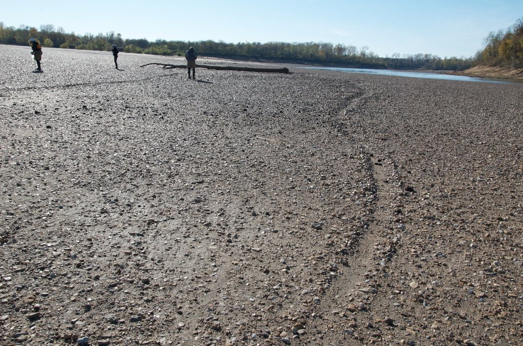
After a couple of slight jogs south, west, northwest, and then south again, the channel slides into and under a low narrow concrete and steel rebar truss bridge that will most likely be blocked by a giant raft of driftwood. Beware of strong currents pulling you under the raft. Make landing on one side or the other and scout the possibilities. At flood stage you can simply paddle around the occlusion on the island side LBD. At less than flood stage there might be a small chute open, but maybe not. If you can’t find any water connection, find your best portage route and start hauling your gear and then your canoe or kayak! I’ve done this in a big 24 foot long wooden voyageur canoe fully loaded to bear with two others and the entire portage required one hour of hoisting, toting, balancing up and down a few logs, and up and over the rail of the bridge onto the roadway. We had to lower our canoe down the other side by ropes, and then drop our gear into position one piece at a time. The river that day was at 31.3 Caruthersville Gauge (CuG) and 25.7 Memphis Gauge (MG). There was a 6 foot difference between water level and road level, and 8 foot between water and the top of the concrete railing. Some fishermen told us that there were small channels open in the days previous, which might have got us a little closer, but a portage would still have been necessary. The roadway was covered in mud and driftwood from a above flood stage rise the month before, which certainly would have made passage easier, but potentially very dangerous. As always, in weird situations like these, stop and scout. When the water drops ten feet, as it did in the weeks following, it would have been interesting to see if the driftwood eventually floated out or not… it might have remained piled up regardless of water level (which is what some fishermen seemed to indicate to us). According to the locals we met, there has been a raft of driftwood piled here for five years or more.
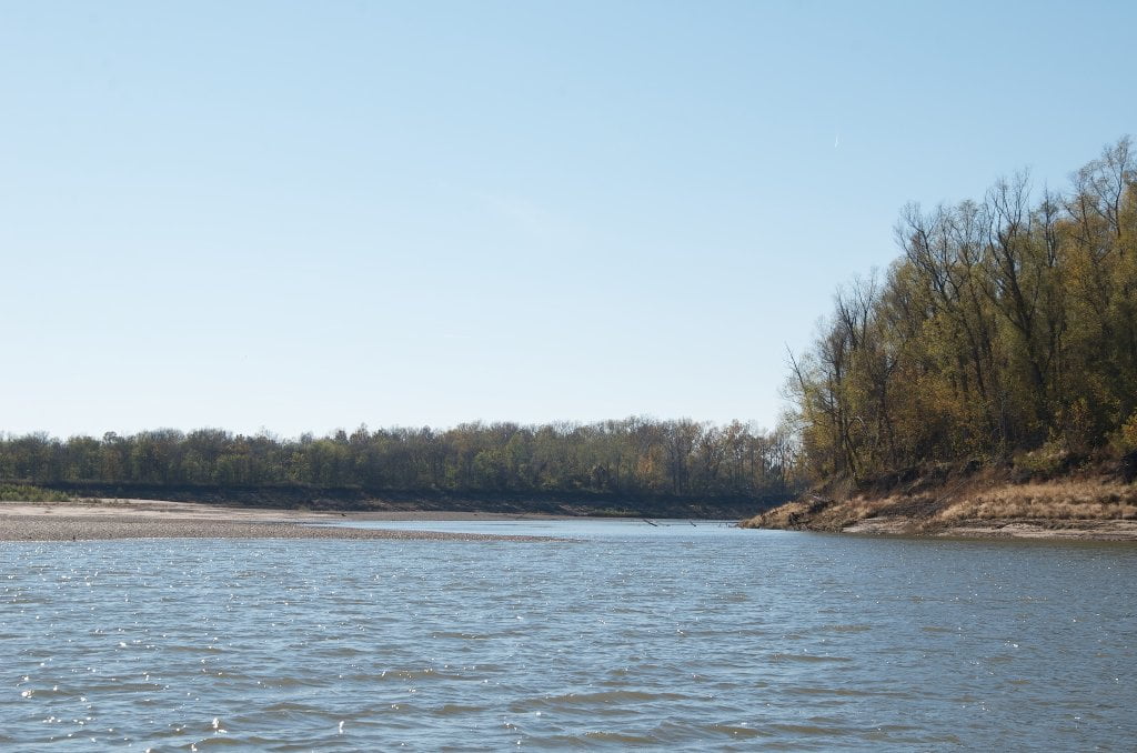
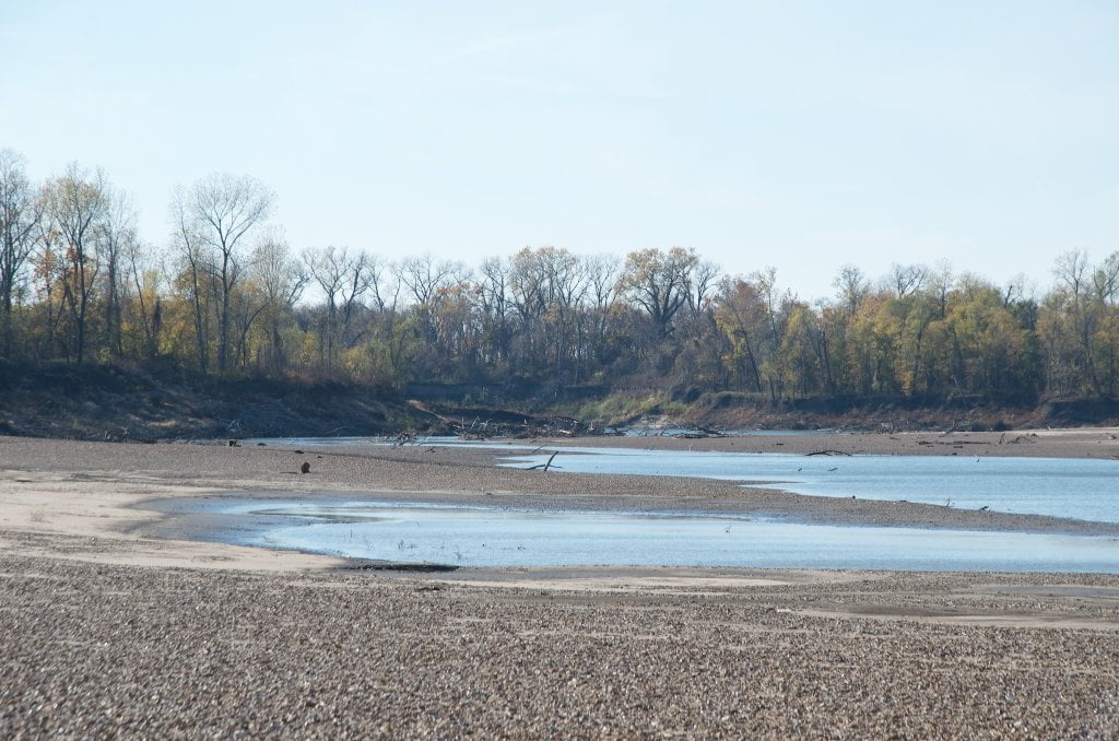
Continuing downstream the channel dives south a mile, then southwestward several miles. Along the way you will pass endless deep forest scenes, some fields, some cut forests, some wetlands (NRCS Conservation Easement – Private Property), a private dock, power line crossing, some fishermen’s jugs and trot lines. The Arkansas levee follows much of this back channel at a distance, sometimes visible through some fleeting openings in the forests. After ten miles of paddling and a driftwood portage, the channel comes to an elegant end when it does a little sashay to the right (south) and suddenly jumps into the enormous back channel of Dean’s Island.
From here you can paddle against the flow up and over the top of Dean Island. But this is only necessary if you need to reach the outer portion of Dean Island. If there is any flow you can save yourself the misery of a hard upstream paddle and continue downstream and enjoy the pleasures of the back channel. If there is flow, and you want my recommendation: sailor, turn your tail and go with the flow behind Dean Island. Keep reading below for continuation.
Leave A Comment
You must be logged in to post a comment.