The Lower Mississippi River Water Trail

If the wind is out of the north, you won’t smell it until you’ve paddled past it.  At low water the outflow gushes out of a giant pipe along the bank and creates a lively whitewater feature.  Indeed from Google Earth it looks like a mountain river pouring into the Mississippi.  If you didn’t know what it was you might be tempted to jump in with your playboat and do a couple of 360s in the whirlpools and surf the standing waves.  In high water the pipe is covered but the smell remains, and the outflow emerges in giant billowing boils full of bubbles.  Outrageous piles of foam accompanied the outflow until several years ago a de-surfactant was added and the foam disappeared.


From a City of Memphis Report, The M.C. Stiles Facility treats an average daily flow of 80 million gallons of wastewater using a treatment regime that consists of coarse bar screens, fine bar screens, grit removal, activated sludge contact-stabilization followed by secondary clarification and discharge into the Mississippi River. The waste activated sludge is sent to a covered lagoon system for anaerobic digestion. The digested sludge is dewatered with belt filter presses and the dewatered sludge cake is stored in a surface disposal facility on-site. The biogas generated by the covered lagoon system is sold to a nearby industry and used to fuel an electric generation operation on-site.


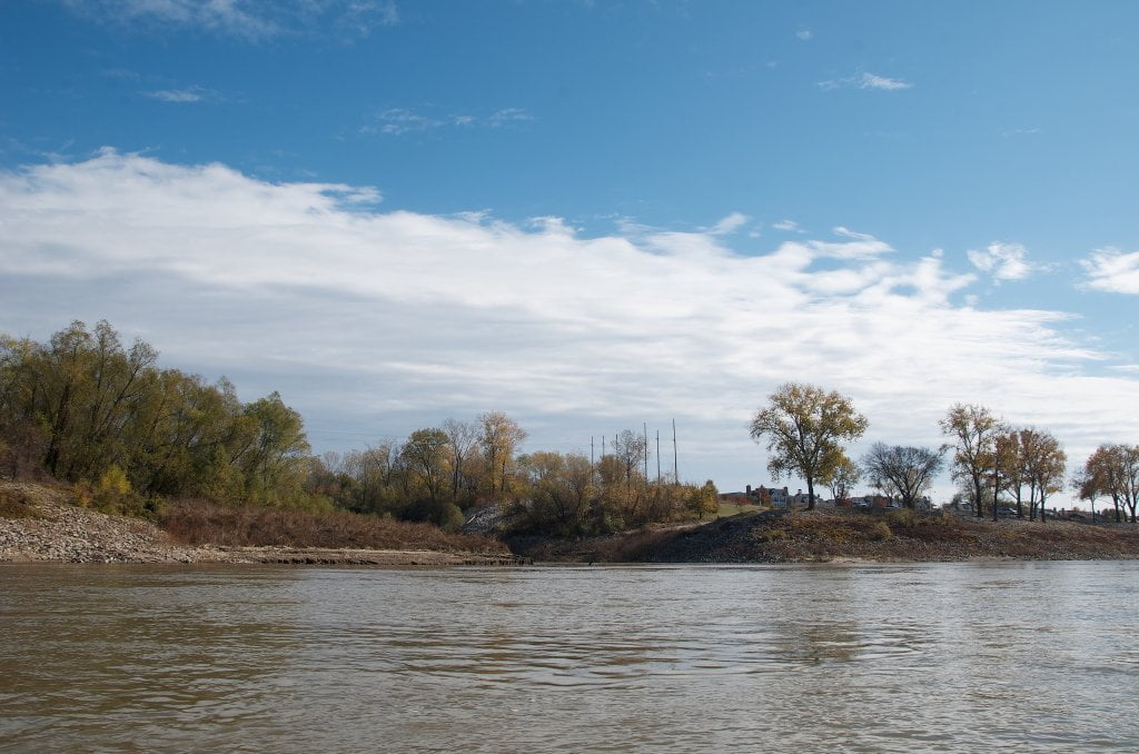
This all sounds good, but as you continue downstream you’ll see that the effluent hugs the left bank past the mouth of the Wolf River and along Mud Island Harbortown Park.  You can see it quite clearly from google earth too!  And this is unfortunate for the river’s reputation.  Mud Island is probably the most visited river park in the Mid-South, and with good reason.  It’s one of the few places you can easily get close to the muddy waters.  It has good parking, pleasant pedestrian access and it’s beautiful.  Long vistas up and down the river.  Large grassy fields shaded by giant cottonwoods.  Anyone who gets close to the river, or (heaven forbid) swims in it, however, is led to believe that this is the way the Mississippi River smells!  Frequented by families, friends, lovers, school groups, church groups, bikers, hikers, people walking pets, mothers walking babies, fathers walking kids, and each goes home with the wastewater aroma in their memory as an association with the big river.  I have seen Buddhists holding religious services and baptists attempting a baptism.  I once witnessed a group of people descend the Mud Island Upper Boat Launch intent on performing some water ritual, step partway in the water, look around nervously as if something had just hit them, and then quickly retreat back up the ramp.  This is the most visited waterfront along the last 1,000 miles of the Mississippi.  Probably millions of people have stopped here to see the mightiest of rivers in North America.  Sadly, they all probably return home with the impression that this is the way the Mississippi River smells.  And even sadder, this has probably kept more than a few people from returning, and squelched any ideas of getting on the river in a canoe or kayak.


Fortunately this is not where Memphis gets its water.  Shelby County is located over four natural aquifers, one of which is recognized as the Memphis sand aquifer or simply as the Memphis aquifer. This artesian water is pure and soft. This particular water source, located some 350 to 1,100 feet (110 to 340 m) underground, is estimated by Memphis Light, Gas and Water to contain more than 100 trillion US gallons (380 km3) of water.  This aquifers also contribute to the other river that defines Memphis, but is less known: the Wolf River.

Leave A Comment

SECTION MILE ACCESS CITY
Middle Mississippi & Bluegrass Hills / Bootheel 195-0, 954-850 ST. LOUIS TO CARUTHERSVILLE
Chickasaw Bluffs 850 – 737 CARUTHERSVILLE TO MEMPHIS
Introduction  
Caruthersville to Osceola
850 – 737 LBD Options for Paddlers in the Caruthersville Stretch
Above Caruthersville  
Below Caruthersville  
850 RBD Caruthersville Harbor Boat Ramp (1/2 Mile Up Harbor)
849 RBD Mouth of the Carutherville Harbor
849 RBD Trinity Barge Fabrication Plant
847 RBD Blaker Towhead
846.5 Caruthersville
846 RBD Isle of Capri/Lady Luck Casino and Casino Inn Suites
845 – 840 LBD Caruthersville – Linwood Bend
850 RBD – 840 LBD Day Trip: Caruthersville to Booth’s Point
840 LBD Linwood Bend Boat Ramp
839 Caruthersville Bridge
Bridges and Mud: How Deep is the Mississippi Mud  
Several Routes Around Islands 18, 20 and 21  
838 – 835 LBD Island 18 Towhead
829 – 832 RBD Island 20 Dikes and Towhead
823 – 829 LBD Island 21
Routes for the Paddler Around Tamm/Barfield Bends  
820 – 815 RBD Wright’s Point – Tamm Bend
819.3 LBD Mouth of the Obion River
Moss Island WMA  
817.7 LBD Tamm’s Landing and Ed Jones Boat Ramp
817.7 – 801.8 LBD Chickasaw National Wildlife Refuge
No Levee?  
814 LBD Nebraska Landing
815 – 805 LBD Barfield Bend
809.3 RBD Barfield Boat Ramp
806 RBD Tomato Arkansas
805 – 801 RBD Island 25
Paddler’s Options in the Island 30 – Osceola Area  
800 – 796.5 RBD Island 26 and Forked Deer Island 27
803 – 787 RBD Ashport-Keyes Gold Dust
796 – 791 RBD Ashport Gold Dust Dikes
797 LBD Shoaf Landing
797 LBD Lower Forked Deer River
796 LBD Ashport-Keyes Boat Ramp
793 – 785 RBD Island 30
796 LBD Ashport-Keyes Boat Ramp
Neark (Jacksonville) Landing  
786.5 LBD Back Channel Island 30
785 RBD Osceola Arkansas
783.5 RBD Sans Souci Boat Ramp
Osceola to Shelby Forest
785 RBD Osceola Arkansas
783.5 RBD Sans Souci Boat Ramp
782 LBD Driver Island
779.8 LBD Old Mouth of the Forked Deer
779 – 778 LBD First Chickasaw Bluff
Alternate Paddler’s Route Around Hatchie River & 2nd Chickasaw Bluff  
778 – 773 RBD Sunrise Towhead – Island 34
777 – 773.5 LBD Hatchie Towhead
773.5 LBD Mouth of the Hatchie River
773.5 LBD Lower Hatchie National Wildlife Refugee
771 – 772 LBD Angelo Towhead
771 LBD Randolph Landing
771 – 769 LBD The Second Chickasaw Bluff (Richardson Bluff)
768.9 LBD Richardson’s Landing
768 LBD Randolph’s Landing/Duvall’s Boat Ramp
766 – 763 LBD Below Richardson’s Landing Dikes and Bar
Dyess Arkansas, Birthplace of Johnny Cash’s Five Feet High and Rising  
Five Feet High and Rising  
767.6 – 761.5 RBD Island 35
767 RBD Island 35 Boat Ramp
Back Channels of Island 35  
767.6 RBD Entrance
761.5 RBD Exit Behind Dean Isand
Memphis Gage  
Dikes and Water Levels  
Reading Google Maps  
761.5 – 757 RBD Dean Isand
761.5 – 757 RBD Back Channel of Dean Isand
Third Chickasaw Bluff  
758 – 754 LBD Denseford Bar and Dikes/Hen and Chicks
752.7 LBD Shelby Forest Boat Ramp
Shelby Forest to Memphis
Memphis Gage  
Dikes and Water Levels  
752.7 LBD Shelby Forest Boat Ramp
Hen & Chicks Round Trip  
754 – 745 LBD Meeman Shelby Forest State Park
754 – 747.5 RBD Back Channel of Brandywine Island
Buoys and Dikes  
Paddling Into Memphis: Three Distinct Routes  
749 – 742 LBD Hickman Bar
Picknicking and Camping on Hickman  
746 LBD Upper Hickman
745 LBD Middle Hickman
744 LBD Lower Hickman
743 LBD Below Lower Hickman
740.6 LBD Loosahatchie River
743.5 – 740 LBD Redman Point Bar
Memphis Upper Waswater Treatment Plant  
M.C. Stiles Waterwater Treatment Facility  
739 LBD Conoco Lucy-Woodstock Memphis Chemical Terminal Dock
740.6 LBD Wolf River
738.4 LBD Mud Island Upper Boat Ramp
740 – 737.5 Loosahatchie Bar
737.5 Ferry Crossing to Memphis From the Bottom of Loosahatchie Bar
737 Memphis “M” Bridge (Hernando De Soto Bridge)
736 LBD 4th Chickasaw Bluff: Memphis
736 LBD Memphis Mud Island Harbor
Mud Island Riverpark & Museum  
Memphis Yatch Club Marina & Boat Ramp  
Coast Guard Boat Ramp  
Memphis Conveniences Useful to Paddlers  
Several Challenging Round-trips From Memphis  
The Lossahatchie Redman Figure-Eight  
The Loosahatchie Roundtrip  
Hickman Bar Roundtrip  
Upper Delta 737 – 663 MEMPHIS TO HELENA
Middle Delta 663 – 537 HELENA TO GREENVILLE
Lower Delta 537 – 437 GREENVILLE TO VICKSBURG
Loess Bluffs 437 – 225 VICKSBURG TO BATON ROUGE
Atchafalaya River 159 – 0 SIMMESPORT TO MORGAN CITY
Louisiana Delta 229 – 10 BATON ROUGE TO VENICE
Birdsfoot Delta 10 – 0 VENICE TO GULF OF MEXICO