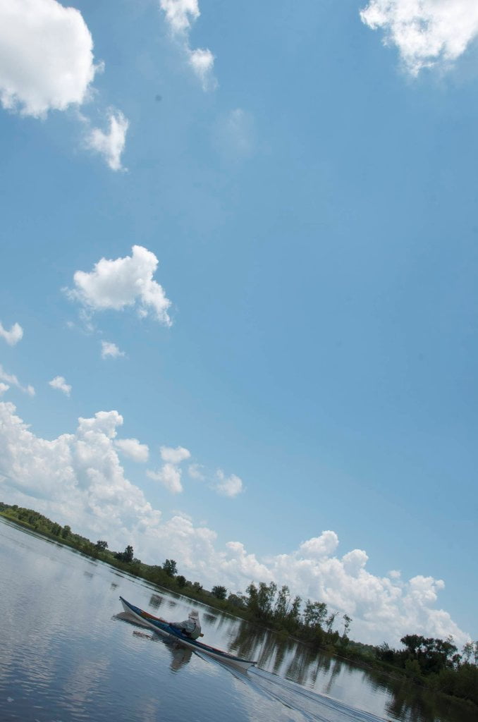
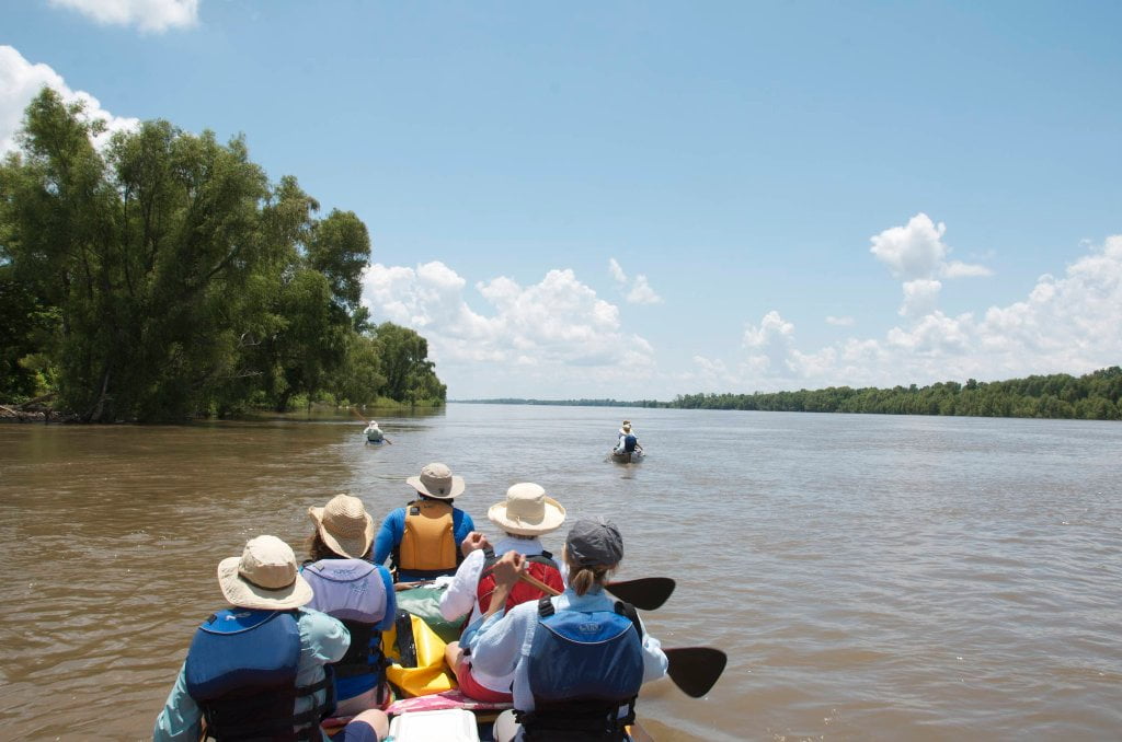
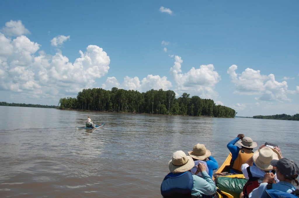
The Lower Mississippi River Water Trail

bottom end you might have to cut through the adjacent flooded forests of Walnut Point to return to main channel.


Lee Lake Pass

The water here could be flowing either direction depending on rainfall and river levels.  In a rising river the water will be pushing eastward into the pass.  In a falling river it will be running westward out of the pass.  In a steady river there will be no motion.  Paddle quietly up the Lake Lee Pass for bird and wildlife sightings.  The water will clear out eventually and you will be able to see the turtles, gar, sturgeon, paddlefish, catfish, buffalo, and others that had been previously concealed by the muddy waters.


Lake Washington


The Mississippi has been engaged in the business of making oxbow lakes out of its old bends for several centuries. One of its oldest and most beautiful creations is Lake Washington. Geological evidence suggests that this lake may have been in existence for about 700 years.


The big lake covers several thousands of acres and was once widely known for its abundant fish and waterfowl population. Before the Civil War, several wealthy Delta planters built impressive mansions on the banks of the beautiful lake. Some of the houses still stand.


During the past half century, Lake Washington has been rapidly deteriorating. Some of its shoreline is spoiled by fishing camps, trailers, and cottages, and the lake waters have become heavily polluted with herbicides, pesticides, and commercial fertilizers used on the adjoining plantations. In 1973, the lake was closed to commercial fishing because of the dangerous level of contamination. Extensive land clearing in the Yazoo- Mississippi Delta has led to increased exposure to runoff from the farm fields, and aerial spraying of crops in the area may also have contributed to the problems at the lake.


(From Braggs: Historic Names)


RBD 523-520 Island 86


There is a thin sliver of Island that runs three miles long at low water and less at high water.  Possible back channel route above 25 GG, and good hidden campsites found along some of the sandy bluffs on the mainland side near RBD 520.


RBD 519-515 Kentucky Bend


After running mostly southward for ten miles below the Greenville Bridge, the river finally curves westward in an elegant swoop around the densely forested Kentucky Island (Kentucky Bend Bar on the maps).  This is the best remote camping in the area.  

Leave A Comment

SECTION MILE ACCESS CITY
Middle Mississippi & Bluegrass Hills / Bootheel 195-0, 954-850 ST. LOUIS TO CARUTHERSVILLE
Chickasaw Bluffs 850 – 737 CARUTHERSVILLE TO MEMPHIS
Upper Delta 737 – 663 MEMPHIS TO HELENA
Middle Delta 663 – 537 HELENA TO GREENVILLE
Lower Delta 537 – 437 GREENVILLE TO VICKSBURG
Introduction  
Greenville to Lake Providence
Greenville, Mississippi  
Greenville Accomodations and Restaurants  
Greenville Blues Festivals  
Greenville Boat Ramp  
Greenville Harbor  
537 LBD Warfield Point Park
537 LBD Old Warfield Point Boat Ramp
537 LBD New Warfield Point Boat Ramp
534 LBD Vaucluse Landing
531.5 RBD Sunny Side Landing
530.7 LBD Greenville Bridge
529 – 525.5 LBD Lakeport Towhead / American Bar
525 LBD American Cut-Off / Lake Lee
Lake Lee Public Boat Ramp  
Options for Paddlers Below Greenville Bridge Near American Bar and Lake Lee  
Lake Washington  
523 – 520 RBD Island 68
519 – 515 RBD Kentucky Bend
515 – 512 LBD Leota Bar / Cracraft Chute
514 – 512 RBD Worthington Cutoff, Matthews Bend, Grand Lake, Island 88
512 RBD (And Up Back Channel) Grand Lake Landing Boat Ramp
510 – 506 RBD Cracraft Bar
Paddler’s Choices Through Cracraft Chute & Sarah’s Cutoff  
Entering Louisiana  
503.5 RBD Bunch’s Cutoff
503 RBD Chute of Old River Lake
505 – 502 LBD Corregidor Bar
500 – 495 RBD Wilson Point Bar
496 LBD Tennis Court Landing
Vicksburg Gage  
Water Levels and Dikes  
494 – 487 LBD Baleshead / Stack Island / Ben Lamond
Two Stack Islands?  
Lake Providence  
Lake Providence Landings  
Paddler’s Choices in the Mayersville – Lake Providence Area  
487 – 481 LBD Shipland Wildlife Management Area
Lake Providence to Vicksburg
Vicksburg Gage  
Water Levels and Dikes  
Lake Providence  
Lake Providence Landing  
Paddler’s Choices in the Mayersville – Lake Providence Area  
487 – 481 LBD Shipland Wildlife Management Area
480 – 474 Fitler Bend
471 – 465 Arcadia Point Bar / Cottonwood Bar
Paddler’s Routes Arcadia Point Bar / Cottonwood Bar  
462 – 459 RBD Willow Island
461 LBD Chotard Lake Terrapin Neck Cutoff
Laney’s Landing  
459 LBD 2010 F-4 Tallulah – Yazoo Tornado
458.8 LBD Eagle Lake Pass
458 LBD Tara Landing
457 RBD Madison Parish Port and Public Boat Launch
Bluz Cruz Kayak and Canoe Race  
Willow Island, Chotard Lake, and Eagle Lake: Paddler’s Routes  
458 – 449 Milliken Bend
449 – 445 RBD Sparta Island
449 – 445 RBD Marshall Cutoff
446.5 LBD Paw Paw Chute
The “Heart of the Darkness” Tour  
Around Paw Paw to Forest Home Chute  
Paw Paw to Vicksburg Via the Yazoo  
Steele Bayou Control Structure  
What Are the Paw Paws  
Paw Paw Chute / Sparta / Brown’s Point: Paddler’s Routes  
445 – 442 Brown’s Point
444 Brown’s Point Fault Line
441 – 438.5 RBD Delta Point Bar
Habitat Restoration on the Lower Miss  
438 RBD King’s Point / Secret Entrance Into Lake Centennia
437.7 LBD Mouth of the Yazoo River
Vicksburg  
Vicksburg Services and Accommodations  
Vicksburg Services, Accommodations, and Restaurants  
Looking Downstream  
Loess Bluffs 437 – 225 VICKSBURG TO BATON ROUGE
Atchafalaya River 159 – 0 SIMMESPORT TO MORGAN CITY
Louisiana Delta 229 – 10 BATON ROUGE TO VENICE
Birdsfoot Delta 10 – 0 VENICE TO GULF OF MEXICO