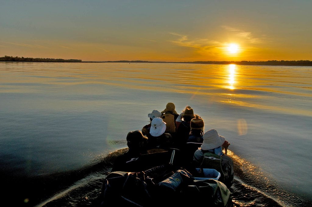
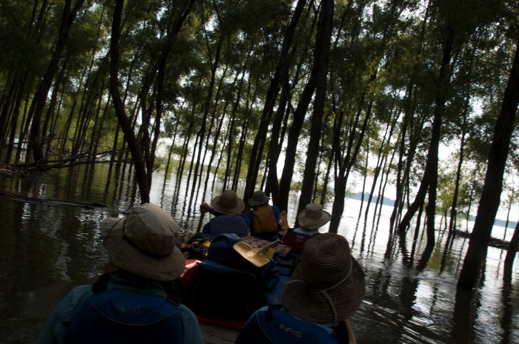
The Lower Mississippi River Water Trail

Left Bank and Right Bank

RBD = Right Bank Descending

LBD = Left Bank Descending


The Rivergator will use the standard left bank descending (LBD) and right bank descending (LBD) to indicate which side of the river the various landings, islands, back channels, and other features are located.  Because of the twisty nature of the meandering river “east bank” and “west bank” have little meaning because the river is rarely flowing north to south!  Ditto for state names.  This section concerns and Arkansas, Mississippi, and some of Tennessee.  But because of the dynamic power of the river there are pieces of each state on both sides of the river!  We’ll also use “left bank” and “right bank” or “left shore” and “right shore” to denote the same.


Towboats and Buoys

Buoys:

Red “Nun” Buoys = LBD navigation channel

Green “Can” Buoys = RBD navigation channel


Towboats:

Upstreamers = towboats going up the river

Downstreamers = towboats going down the river


Towboats and buoys provide endless fascination for Lower Mississippi River paddlers, but also present two of your gravest dangers.  Red “nun” buoys mark the left side of the navigation channel (descending) while green “can” buoys the right side.  To broadside a buoy would end in certain capsize.  Be ever vigilant of their position, and keep a safe 100 foot distance away.  Buoys endlessly twist and yank on their cables in the current and seem to come towards you at times. Watch for “diving ducks” the buoys that become submerged by powerful waters and unexpectedly bounce back up.  When towboats are present your safest route is outside of the navigation channel.  Towboat pilots might notice you on their radars, but they can’t tell the difference between a flotilla of canoes & kayaks and a pile of driftwood.  Their packets are so sometimes so long that the pilot might lose sight of you within a quarter mile away as you dip below their line of sight over the nose of the barges they are pushing.  Wherever possible the Rivergator will describe common lines of travel for towboats.  “downstreamers” refers to towboats steaming down stream with the flow of the river, and “upstreamers” refer to those plowing up the channel against the flow of the river.  Upstreamers normally create the biggest and most hazardous sets of wave trains, but there are exceptions.  Wave trains sometimes trail the passage of a tow for one mile or more.  The safest practice around any tows is to keep watching them for any changes in progress and give them wide berth.  Never cross the nose of a towboat/barge packet.  Make your crossings after they have passed and their waves have subsided.  The safest place around a towboat is far behind a towboat.

Leave A Comment

SECTION MILE ACCESS CITY
Middle Mississippi & Bluegrass Hills / Bootheel 195-0, 954-850 ST. LOUIS TO CARUTHERSVILLE
Chickasaw Bluffs 850 – 737 CARUTHERSVILLE TO MEMPHIS
Upper Delta 737 – 663 MEMPHIS TO HELENA
Middle Delta 663 – 537 HELENA TO GREENVILLE
Lower Delta 537 – 437 GREENVILLE TO VICKSBURG
Introduction  
Greenville to Lake Providence
Greenville, Mississippi  
Greenville Accomodations and Restaurants  
Greenville Blues Festivals  
Greenville Boat Ramp  
Greenville Harbor  
537 LBD Warfield Point Park
537 LBD Old Warfield Point Boat Ramp
537 LBD New Warfield Point Boat Ramp
534 LBD Vaucluse Landing
531.5 RBD Sunny Side Landing
530.7 LBD Greenville Bridge
529 – 525.5 LBD Lakeport Towhead / American Bar
525 LBD American Cut-Off / Lake Lee
Lake Lee Public Boat Ramp  
Options for Paddlers Below Greenville Bridge Near American Bar and Lake Lee  
Lake Washington  
523 – 520 RBD Island 68
519 – 515 RBD Kentucky Bend
515 – 512 LBD Leota Bar / Cracraft Chute
514 – 512 RBD Worthington Cutoff, Matthews Bend, Grand Lake, Island 88
512 RBD (And Up Back Channel) Grand Lake Landing Boat Ramp
510 – 506 RBD Cracraft Bar
Paddler’s Choices Through Cracraft Chute & Sarah’s Cutoff  
Entering Louisiana  
503.5 RBD Bunch’s Cutoff
503 RBD Chute of Old River Lake
505 – 502 LBD Corregidor Bar
500 – 495 RBD Wilson Point Bar
496 LBD Tennis Court Landing
Vicksburg Gage  
Water Levels and Dikes  
494 – 487 LBD Baleshead / Stack Island / Ben Lamond
Two Stack Islands?  
Lake Providence  
Lake Providence Landings  
Paddler’s Choices in the Mayersville – Lake Providence Area  
487 – 481 LBD Shipland Wildlife Management Area
Lake Providence to Vicksburg
Vicksburg Gage  
Water Levels and Dikes  
Lake Providence  
Lake Providence Landing  
Paddler’s Choices in the Mayersville – Lake Providence Area  
487 – 481 LBD Shipland Wildlife Management Area
480 – 474 Fitler Bend
471 – 465 Arcadia Point Bar / Cottonwood Bar
Paddler’s Routes Arcadia Point Bar / Cottonwood Bar  
462 – 459 RBD Willow Island
461 LBD Chotard Lake Terrapin Neck Cutoff
Laney’s Landing  
459 LBD 2010 F-4 Tallulah – Yazoo Tornado
458.8 LBD Eagle Lake Pass
458 LBD Tara Landing
457 RBD Madison Parish Port and Public Boat Launch
Bluz Cruz Kayak and Canoe Race  
Willow Island, Chotard Lake, and Eagle Lake: Paddler’s Routes  
458 – 449 Milliken Bend
449 – 445 RBD Sparta Island
449 – 445 RBD Marshall Cutoff
446.5 LBD Paw Paw Chute
The “Heart of the Darkness” Tour  
Around Paw Paw to Forest Home Chute  
Paw Paw to Vicksburg Via the Yazoo  
Steele Bayou Control Structure  
What Are the Paw Paws  
Paw Paw Chute / Sparta / Brown’s Point: Paddler’s Routes  
445 – 442 Brown’s Point
444 Brown’s Point Fault Line
441 – 438.5 RBD Delta Point Bar
Habitat Restoration on the Lower Miss  
438 RBD King’s Point / Secret Entrance Into Lake Centennia
437.7 LBD Mouth of the Yazoo River
Vicksburg  
Vicksburg Services and Accommodations  
Vicksburg Services, Accommodations, and Restaurants  
Looking Downstream  
Loess Bluffs 437 – 225 VICKSBURG TO BATON ROUGE
Atchafalaya River 159 – 0 SIMMESPORT TO MORGAN CITY
Louisiana Delta 229 – 10 BATON ROUGE TO VENICE
Birdsfoot Delta 10 – 0 VENICE TO GULF OF MEXICO