The Lower Mississippi River Water Trail

hopped and skipped over the levee and cleared out several thousand acres of land by Eagle Lake, and ravaged some of the Eagle Lake community, before continuing northeasterly and growing in size.  When it reached Yazoo City it was a monstrous 1-2 miles wide.  It buzzed a wide path from one end of the state to the other, crossing Hwy 61, the Big Sunflower, the Yazoo River, US 49, the Big Black, I-55, US 51 and onwards until finally petering out in the vicinity of the Pearl River headwaters somewhere near Sturgis, Mississippi.


Kansas City tornado expert Stan Finger reported that: “the tornado was on the ground for 149 miles, from 5 miles west of Tallulah, Louisiana, to about 5 miles north of Sturgis, Miss. The tornado was on the ground for nearly 3 hours and reached a maximum width of 1.75 miles. Storm damage surveys placed Saturday’s tornado at EF3 during much of its path but EF4 through Yazoo and Holmes counties.  10 people died and nearly 50 were injured.  Only five tornadoes in recorded history have confirmed damage paths longer than the Yazoo City tornado, which traversed nearly the entire width of Mississippi before dissipating.  The longest track of them all belongs to the Tri-State Tornado of 1925, which was on the ground for 219 miles. That tornado killed nearly 700 people.”


(From Stan Finger: Finger on the Weather)


LBD 458.8 Eagle Lake Pass


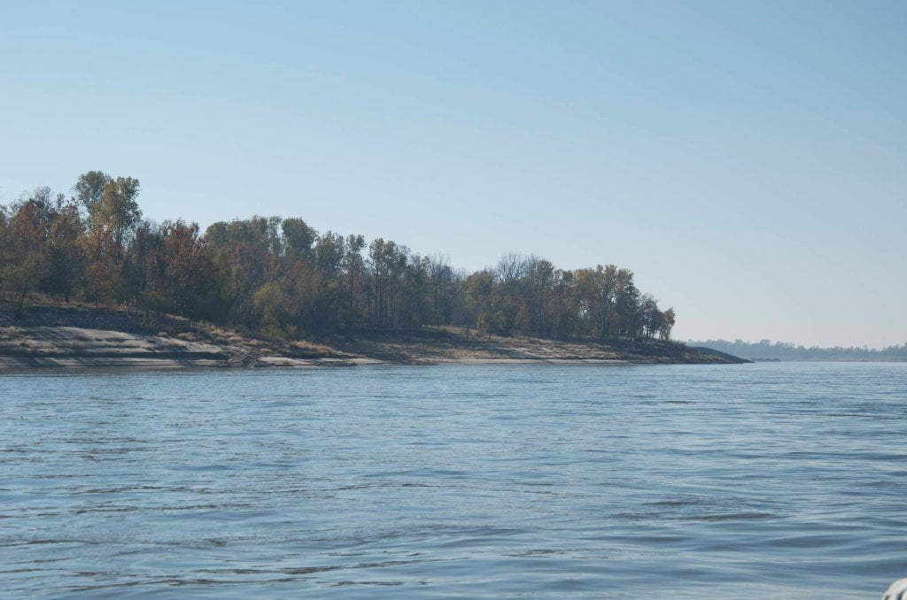
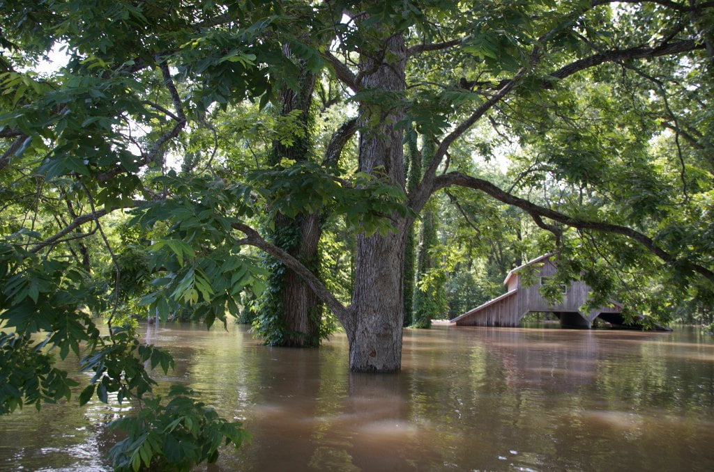
At the South end of the tornado cut and several miles downstream of Chotard/Terrapin Cut-Off is the mouth of the Eagle Lake Pass, left bank descending 458.8.  At low water this is nothing more than a ditch through the scraggly tornado ravaged woods.  At medium water you can paddle in a short ways but might have to portage over fallen trees and a beaver dam.  At high water you can work your way two miles through this wildlife-filled chute to where it opens up into a small lake at the base of the levee.  This lake is a hotbed of bird life, fish and amphibians.  It is also a known alligator habitat.  You will see many random pieces of wood floating about.  When you see a piece of driftwood that slides through the water on its own volition you will have found the American alligator!


Over the levee from this small lake is one of the most beautiful lakes in all the Lower Mississippi River Valley, Eagle Lake.  Eagle Lake was formed when Terrapin Neck collapsed and was cut off in 1866.  Its shape is reminiscent of a giant eyeball.  Maybe it is the eye of the Delta.   Eagle Lake makes a sharp hairpin curve literally turning back on itself around the point of land found in its iris. The far eastern end of Eagle Lake connects to Steele Bayou which has as its headwaters at another oxbow lake, Lake Whittington (above Greenville).  Not far downstream Steele Bayou confluences with the Big Sunflower and the rivers flow together into the Yazoo 10 miles above Vicksburg.  The bald eagle is making a comeback around its namesake lake.  It is also seen in the big trees along the main channel of the Mississippi near Brown’s Point, or consuming a fish or turtle along one of the river sandbars.

Leave A Comment

SECTION MILE ACCESS CITY
Middle Mississippi & Bluegrass Hills / Bootheel 195-0, 954-850 ST. LOUIS TO CARUTHERSVILLE
Chickasaw Bluffs 850 – 737 CARUTHERSVILLE TO MEMPHIS
Upper Delta 737 – 663 MEMPHIS TO HELENA
Middle Delta 663 – 537 HELENA TO GREENVILLE
Lower Delta 537 – 437 GREENVILLE TO VICKSBURG
Introduction  
Greenville to Lake Providence
Greenville, Mississippi  
Greenville Accomodations and Restaurants  
Greenville Blues Festivals  
Greenville Boat Ramp  
Greenville Harbor  
537 LBD Warfield Point Park
537 LBD Old Warfield Point Boat Ramp
537 LBD New Warfield Point Boat Ramp
534 LBD Vaucluse Landing
531.5 RBD Sunny Side Landing
530.7 LBD Greenville Bridge
529 – 525.5 LBD Lakeport Towhead / American Bar
525 LBD American Cut-Off / Lake Lee
Lake Lee Public Boat Ramp  
Options for Paddlers Below Greenville Bridge Near American Bar and Lake Lee  
Lake Washington  
523 – 520 RBD Island 68
519 – 515 RBD Kentucky Bend
515 – 512 LBD Leota Bar / Cracraft Chute
514 – 512 RBD Worthington Cutoff, Matthews Bend, Grand Lake, Island 88
512 RBD (And Up Back Channel) Grand Lake Landing Boat Ramp
510 – 506 RBD Cracraft Bar
Paddler’s Choices Through Cracraft Chute & Sarah’s Cutoff  
Entering Louisiana  
503.5 RBD Bunch’s Cutoff
503 RBD Chute of Old River Lake
505 – 502 LBD Corregidor Bar
500 – 495 RBD Wilson Point Bar
496 LBD Tennis Court Landing
Vicksburg Gage  
Water Levels and Dikes  
494 – 487 LBD Baleshead / Stack Island / Ben Lamond
Two Stack Islands?  
Lake Providence  
Lake Providence Landings  
Paddler’s Choices in the Mayersville – Lake Providence Area  
487 – 481 LBD Shipland Wildlife Management Area
Lake Providence to Vicksburg
Vicksburg Gage  
Water Levels and Dikes  
Lake Providence  
Lake Providence Landing  
Paddler’s Choices in the Mayersville – Lake Providence Area  
487 – 481 LBD Shipland Wildlife Management Area
480 – 474 Fitler Bend
471 – 465 Arcadia Point Bar / Cottonwood Bar
Paddler’s Routes Arcadia Point Bar / Cottonwood Bar  
462 – 459 RBD Willow Island
461 LBD Chotard Lake Terrapin Neck Cutoff
Laney’s Landing  
459 LBD 2010 F-4 Tallulah – Yazoo Tornado
458.8 LBD Eagle Lake Pass
458 LBD Tara Landing
457 RBD Madison Parish Port and Public Boat Launch
Bluz Cruz Kayak and Canoe Race  
Willow Island, Chotard Lake, and Eagle Lake: Paddler’s Routes  
458 – 449 Milliken Bend
449 – 445 RBD Sparta Island
449 – 445 RBD Marshall Cutoff
446.5 LBD Paw Paw Chute
The “Heart of the Darkness” Tour  
Around Paw Paw to Forest Home Chute  
Paw Paw to Vicksburg Via the Yazoo  
Steele Bayou Control Structure  
What Are the Paw Paws  
Paw Paw Chute / Sparta / Brown’s Point: Paddler’s Routes  
445 – 442 Brown’s Point
444 Brown’s Point Fault Line
441 – 438.5 RBD Delta Point Bar
Habitat Restoration on the Lower Miss  
438 RBD King’s Point / Secret Entrance Into Lake Centennia
437.7 LBD Mouth of the Yazoo River
Vicksburg  
Vicksburg Services and Accommodations  
Vicksburg Services, Accommodations, and Restaurants  
Looking Downstream  
Loess Bluffs 437 – 225 VICKSBURG TO BATON ROUGE
Atchafalaya River 159 – 0 SIMMESPORT TO MORGAN CITY
Louisiana Delta 229 – 10 BATON ROUGE TO VENICE
Birdsfoot Delta 10 – 0 VENICE TO GULF OF MEXICO