The Lower Mississippi River Water Trail

Florida to Ontario Canada, from the Atlantic to Nebraska).  Look for the fruit late in the summer.  The trees grow in the mature woods of the bottomland hardwood forests, rarely gaining more than thirty feet in height.  If you think they’re ready, shake the tree.  The ripe fruit will be soft, but not mushy.  Eat this heavenly fruit soon, but don’t eat the sickness inducing seeds and flesh.  Paw paws taste something like a mango, or a mango meets an apricot, or a mango/peach/banana, or — well who knows… everyone says something different.  They taste like a paw paw!  The paw paw will not keep for more than a day or two.  And yes, they do grow on Paw Paw Island!  In fact they grow in favorable locations anywhere along the Lower Miss.  Once you know what to look for, and once you’ve tasted their succulent orange meat you be hunting for them every time you make landing.  Lastly, they are nutritious.  Following the lead of their native guides, the Lewis & Clark Expedition survived four days on nothing more than paw paws and a biscuit a day. 


Note: Paw Paw information gleaned from 2013 Paw Paw Expedition with Andy Moore.  Andrew Moore has been working on the pawpaw book for the past year-and-a-half, but has been a fervent pawpaw enthusiast for the past three.  Learn more about Andy and the forthcoming book on Paw Paws at his blogsite: www.thepawpawbook.wordpress.com


Paw Paw Chute/Sparta/Brown’s Point: Paddler’s Routes


https://maps.google.com/maps/ms?msid=217859314001592865582.0004e6e2a5ce833cf497d&msa=0&ll=
32.412574,-90.91444&spn=0.165931,0.132351


http://goo.gl/maps/ftQTe


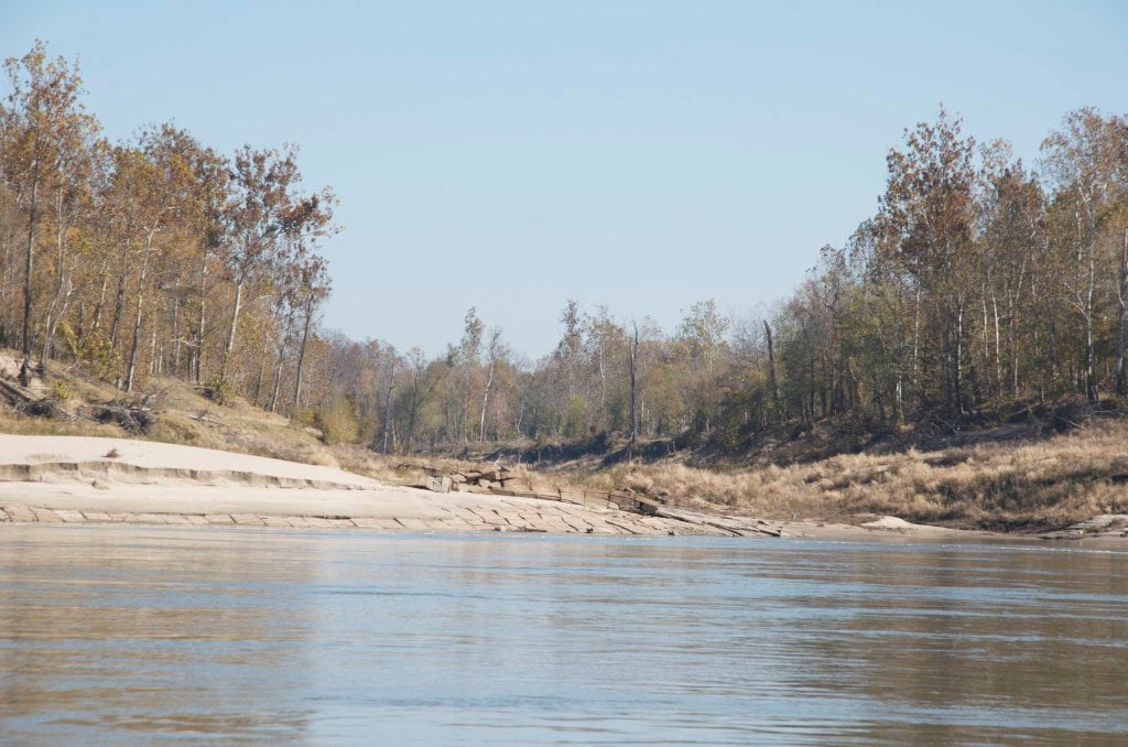
Canoes, Kayaks and Stand-Up-Paddleboards can stay main channel for the fastest water through the last two big bends of the river coming into Vicksburg, or if the river is flowing above 25VG paddle behind Sparta.  Adventuresome paddlers can explore Paw Paw Chute and the old channels of the Yazoo, and if the water is high enough cut through the last of the Lower Delta Wilderness for a back door entry via the Yazoo River into Vicksburg (recommended above 25VG).


Main Channel

Paddle out of Milliken Bend mid channel and cross over LBD to the left bank descending side into Marshall Cut-Off through to Brown’s Point. If there is no tow traffic go mid channel around Brown’s Point and cross over RBD right bank along Delta Point, cross again to left bank LBD for final approach to the mouth of the Yazoo River and Vicksburg.


Sparta Island Back Channel RBD 449-445

If the water is above 25 Vicksburg Gauge you can stay right bank and cut behind Sparta Island to re-enter the river three miles downstream near Brown’s Point.
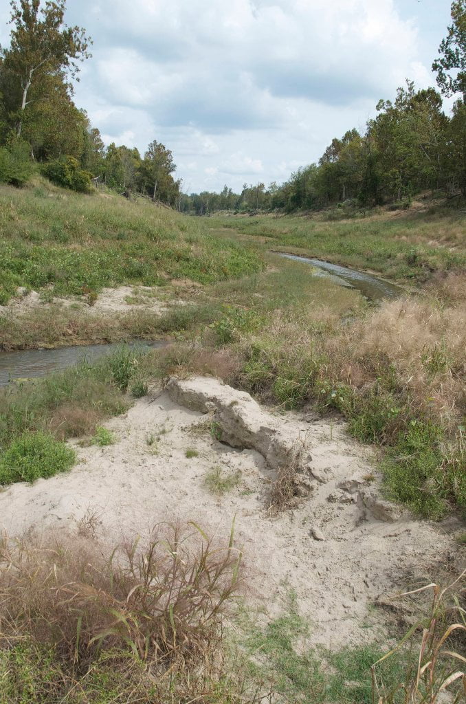
 

Paw Paw Chute

Leave A Comment

SECTION MILE ACCESS CITY
Middle Mississippi & Bluegrass Hills / Bootheel 195-0, 954-850 ST. LOUIS TO CARUTHERSVILLE
Chickasaw Bluffs 850 – 737 CARUTHERSVILLE TO MEMPHIS
Upper Delta 737 – 663 MEMPHIS TO HELENA
Middle Delta 663 – 537 HELENA TO GREENVILLE
Lower Delta 537 – 437 GREENVILLE TO VICKSBURG
Introduction  
Greenville to Lake Providence
Greenville, Mississippi  
Greenville Accomodations and Restaurants  
Greenville Blues Festivals  
Greenville Boat Ramp  
Greenville Harbor  
537 LBD Warfield Point Park
537 LBD Old Warfield Point Boat Ramp
537 LBD New Warfield Point Boat Ramp
534 LBD Vaucluse Landing
531.5 RBD Sunny Side Landing
530.7 LBD Greenville Bridge
529 – 525.5 LBD Lakeport Towhead / American Bar
525 LBD American Cut-Off / Lake Lee
Lake Lee Public Boat Ramp  
Options for Paddlers Below Greenville Bridge Near American Bar and Lake Lee  
Lake Washington  
523 – 520 RBD Island 68
519 – 515 RBD Kentucky Bend
515 – 512 LBD Leota Bar / Cracraft Chute
514 – 512 RBD Worthington Cutoff, Matthews Bend, Grand Lake, Island 88
512 RBD (And Up Back Channel) Grand Lake Landing Boat Ramp
510 – 506 RBD Cracraft Bar
Paddler’s Choices Through Cracraft Chute & Sarah’s Cutoff  
Entering Louisiana  
503.5 RBD Bunch’s Cutoff
503 RBD Chute of Old River Lake
505 – 502 LBD Corregidor Bar
500 – 495 RBD Wilson Point Bar
496 LBD Tennis Court Landing
Vicksburg Gage  
Water Levels and Dikes  
494 – 487 LBD Baleshead / Stack Island / Ben Lamond
Two Stack Islands?  
Lake Providence  
Lake Providence Landings  
Paddler’s Choices in the Mayersville – Lake Providence Area  
487 – 481 LBD Shipland Wildlife Management Area
Lake Providence to Vicksburg
Vicksburg Gage  
Water Levels and Dikes  
Lake Providence  
Lake Providence Landing  
Paddler’s Choices in the Mayersville – Lake Providence Area  
487 – 481 LBD Shipland Wildlife Management Area
480 – 474 Fitler Bend
471 – 465 Arcadia Point Bar / Cottonwood Bar
Paddler’s Routes Arcadia Point Bar / Cottonwood Bar  
462 – 459 RBD Willow Island
461 LBD Chotard Lake Terrapin Neck Cutoff
Laney’s Landing  
459 LBD 2010 F-4 Tallulah – Yazoo Tornado
458.8 LBD Eagle Lake Pass
458 LBD Tara Landing
457 RBD Madison Parish Port and Public Boat Launch
Bluz Cruz Kayak and Canoe Race  
Willow Island, Chotard Lake, and Eagle Lake: Paddler’s Routes  
458 – 449 Milliken Bend
449 – 445 RBD Sparta Island
449 – 445 RBD Marshall Cutoff
446.5 LBD Paw Paw Chute
The “Heart of the Darkness” Tour  
Around Paw Paw to Forest Home Chute  
Paw Paw to Vicksburg Via the Yazoo  
Steele Bayou Control Structure  
What Are the Paw Paws  
Paw Paw Chute / Sparta / Brown’s Point: Paddler’s Routes  
445 – 442 Brown’s Point
444 Brown’s Point Fault Line
441 – 438.5 RBD Delta Point Bar
Habitat Restoration on the Lower Miss  
438 RBD King’s Point / Secret Entrance Into Lake Centennia
437.7 LBD Mouth of the Yazoo River
Vicksburg  
Vicksburg Services and Accommodations  
Vicksburg Services, Accommodations, and Restaurants  
Looking Downstream  
Loess Bluffs 437 – 225 VICKSBURG TO BATON ROUGE
Atchafalaya River 159 – 0 SIMMESPORT TO MORGAN CITY
Louisiana Delta 229 – 10 BATON ROUGE TO VENICE
Birdsfoot Delta 10 – 0 VENICE TO GULF OF MEXICO