The Lower Mississippi River Water Trail
LBD: Alternate Route to Vicksburg: Yazoo Pass
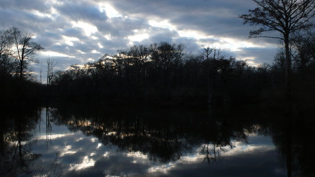
For the long distance paddler weary of the monotony of the main channel, and ready for an adventure into the heart of darkness, a parallel journey down the legendary Yazoo-Mississippi Delta could be made — to rejoin the river 338 miles downstream at Vicksburg. It’s not a shortcut, in fact it’s a long-cut, over one hundred miles longer. It’s an oftentimes moody, gloomy journey through blues drenched landscapes of the cotton-kingdom. It will involve at least one long portage through poison ivy, thorny, caney, snake-infested, mosquito-ravaged thickets. Once you reach the Coldwater River it’s good water all the way, although most likely much slower than the Mississippi. Why do it? For the history, for the culture, for a backdoor view into the heart of the Mississippi Delta, but primarily for — the adventure! [CLICK HERE: What do we mean when we say Adventure?]
While several miles of the pass have been cut off by the levee and later Mississippi Highway 1, you can today paddle across Moon Lake (oxbow lake, old Mississippi River channel) and find the pass on its northern shoreline, behind Uncle Henry’s B&B and fine dining (old Moon Lake Casino). Your best and definitely easiest route however would be to arrange a shuttle from Helena to Moon Lake, and put in at the BMW store Boat Ramp. [CLICK HERE: for shuttling services]
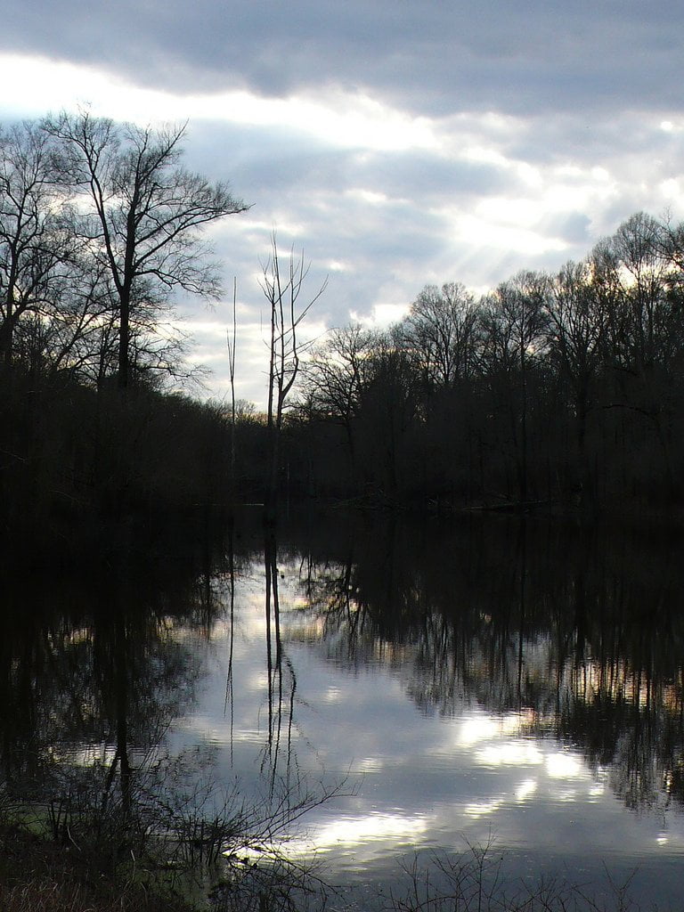
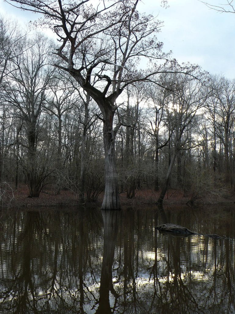
In wet seasons there will be water all the way through the 14 mile long Yazoo Pass from Moon Lake to the Coldwater River, but in times of drought short portages might be necessary at several shallows. As its name implies, Yazoo Pass is an active pass. When Moon Lake is getting the rainfall the water flows east towards the Coldwater. However when the Coldwater is rising the pass might be flowing west into Moon Lake. With some determination (also a machete and shrub saw are helpful) you can reach the Coldwater River, and follow the old trade routes down the Coldwater to the Tallahatchie, 117.5 miles down to the city of Greenwood where the Union soldiers were repulsed by a tiny rebel faction at Fort Pemberton (today nothing but a historic site where the Tallahatchie approaches Hwy 82). Along the way the Coldwater/Tallahtchie system receives waters from all Mississippi Hill Country tributaries like the Yocona. This is the same hill country that produced the Hill Country Blues tradition, indeed all of these waterways drain the former homes of legendary musicians like Mississippi Fred McDowell, Jessie Mae Hemphill, Junior Kimbrough and R.L. Burnside. Along the way the Tallahatchie flows along past by important landmarks like the famed Tallahatchie River Bridge where Billy Joe McAllister met his sad fate (Bobby Gentry), the infamous Money Bridge where Emmet Till was murdered and ignited the Civil Rights era and lastly the Little Zion Church, one of Robert Johnson’s 3 disputed gravesites (all are located on or near the Tallahatchie/Yazoo — see below for more info). As the Tallahatchie rounds Greenwood the most wild & beautiful of all Hill Country tributaries the Yalobusha river comes rolling in from the East, the two rivers join to form the Yazoo, the famed River of Death. The Yazoo rebounds westward following an ancient channel of the Ohio River flowing along past Cotton Row/Downtown Greenwood (good public landing) and then downstream past Three Forks (where Robert Johnson was reportedly murdered), Mt. Zion (another location where he is reportedly buried!), and from thence through Panther Burn, Yazoo City, Satartia, Redwood, and finally Vicksburg.
Just above Vicksburg the Yazoo the River of Death receives all the waters of the Mississippi Delta with the entrance of the Sunflower River through the Steele Bayou Control Structure. If a raindrop falls in the Mississippi Delta (and a lot of them fall — in fact an annual average of 55 inches of rain) it doesn’t enter the Mississippi directly, but follows it in many parallel side streams creeks & bayous like the Big Sunflower River, the Hushpuckena, the Quiver River, Deer Creek and Steele Bayou, all of which enter the Sunflower somewhere along its 250 mile long route and then are all delivered to the Yazoo at this junction, ten miles above Vicksburg and the confluence of the Yazoo with the mother Mississippi. The largest freshwater pumps in the world were going to be constructed at the Steele Bayou Control Structure, a project known as the Yazoo Pumps; it was killed in 2010 by the EPA.
Yazoo Pass Mileage:
Helena to Levee via Yazoo Pass: 9 miles
Levee to Moon Lake NW shore: 2 miles
Moon Lake NW shore to Yazoo Pass: 2 miles
Alternate Start: BMW ramp to Yazoo Pass: 1 mile
Yazoo Pass Moon Lake to Coldwater River: 14 miles
Colwater River to Tallahatchie River: 49 miles
Tallahatchie River to Yalobusha River: 68.5 miles
Yazoo River: Yalobusha to Vicksburg: 188 miles
Total: Helena to Vicksburg via Yazoo Pass = 332.5 miles
(Compare: Helena to Vicksburg on Mississippi River = 226 miles)
Rivers & Robert Johnson:
The Mississippi Delta where the Delta Blues was born and thrived is not the Delta of the Mississippi River. That’s right, this delta is actually an independent floodplain formed by the big river and its smaller tributary the Yazoo. The Delta Blues that was born & fostered under the phenomenal careers of genius musicians like Muddy Waters, Charlie Patton, Robert Johnson refers geographically to the Yazoo-Mississippi Delta, which is a musselshell-shaped alluvial floodplain bounded by the Mississippi and the Yazoo-Tallahatchie-Coldwater River systems running approximately two hundred miles between Memphis and Vicksburg, and sixty miles at its widest between Greenville and Greenwood.
Robert Johnson’s life is tied into Yazoo River, the River of Death, by the many places that highlight his life and death. All of these places can be visited by canoe, kayak or SUP. However the landings are not marked and paddlers will have to use maps, GPS and their orientation skills to locate the best places to land and then walk to the below:
Mileage from Downtown Greenwood Public Boat Launch:
Little Zion Church: along the Tallahatchie River 15 river miles north of Greenwood
Three Forks Store: Yazoo River, 25 miles south of Greenwood
Payne Chapel: Yazoo River, 15 miles south of Greenwood (+ 2 mile hike)
Mount Zion MB Church: Yazoo River, 35 miles south of Greenwood
[Citation] Blues Traveling by Steve Cheseborough
Leave A Comment
You must be logged in to post a comment.