The Lower Mississippi River Water Trail

There is a channel entering hard left all the way against the old revetment Mississippi Bank LBD below the last long dike at Mile 656.5.  The trained eye will see the opening by the subtle changes of trees lines, young willows closer, the older forest rising on top of the higher forest bottoms behind with a slightly different canopy of giant oaks, sweetgums, sycamores, cottonwoods, and others, the classic trees of the bottomland hardwood forest.  In higher water levels you will have to hug the willow tree line LBD to find the opening so strong does the water flow through, and once you go over the dike line it’ll be too late to paddle back up into the Pass.


Warning: at medium waters this dike line (#3 at 656.5) will be an explosion of agitated water, fast swirling octopus arms of water motivated by blooming boils with following whirlpools, roughest between HG 20-25, it becomes smoothed over above HG 26.


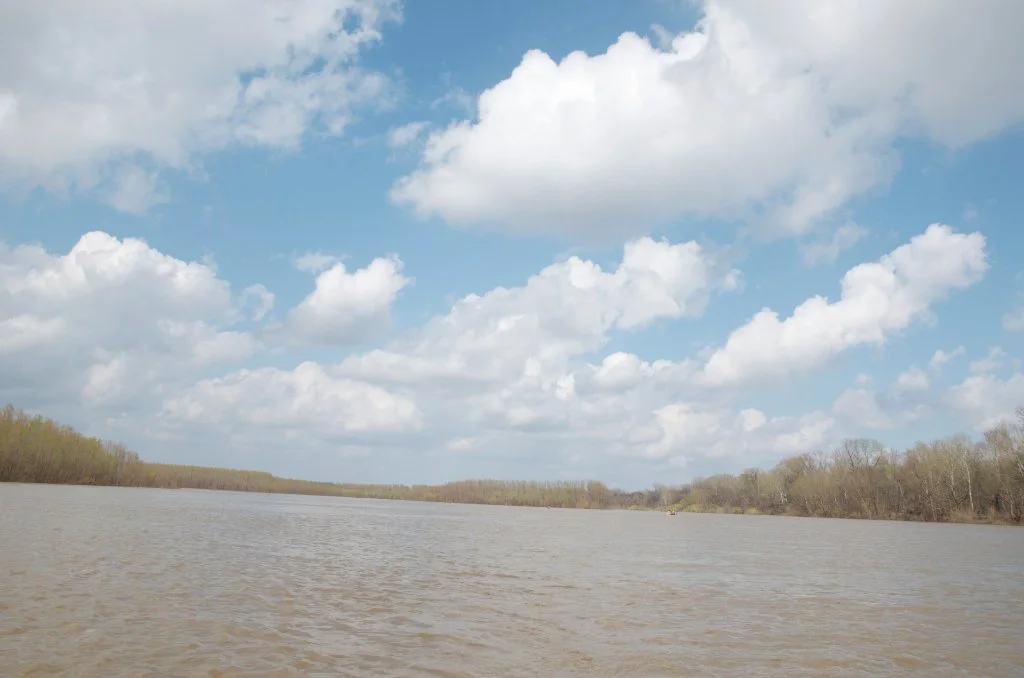
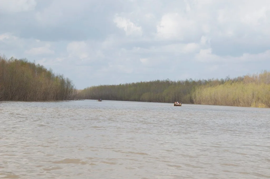
Once you round the peninsula of willows, you will enter a strikingly beautiful narrow channel running north parallel to the tall woods along the Mississippi shore. The water calms out (except at high water when there is a gentle current) and you can paddle several hundred yards at med water.  The quiet & peacefulness of the setting is a welcome contrast to the boisterous main channel.   If the water’s high and you want to do some exploring through the deep woods, you can paddle several miles following the remnants of the old channel, above flood stage you can paddle right up to the levee which now cuts the Pass off from its former route to Moon Lake.  Now imagine 2300 soldiers on fortified steamboats entering this same channel (which was about the same width at its mouth back then)!  At med river level the waters of the Pass will be a delightful clearish-greenish hue, much clearer than the muddy waters of the main channel.  If you are a strong swimmer and know how to self-rescue, it’s a beautiful place to jump out of your canoe and take a refreshing swim.  [CLICK HERE: for Safe Swimming in the Mississippi].  At higher water levels, the muddy main channel submerges the islands and invades all the willow forests and spills into the Pass.


LBD: Alternate Route to Vicksburg: Yazoo Pass

For the long distance paddler weary of the monotony of the main channel, and ready for an adventure into the “heart of darkness,” a parallel journey down the legendary Yazoo-Mississippi Delta could be made — to rejoin the river 338 miles downstream at Vicksburg.  It’s not a shortcut; in fact it’s a long-cut, over one hundred miles longer.  It’s an oftentimes moody, gloomy journey through blues drenched landscapes of the cotton-kingdom.  It will involve at least one long portage through poison ivy, thorny, caney, snake-infested, mosquito-ravaged thickets.  Once you reach the Coldwater River it’s good water all the way, although most likely much slower than the Mississippi.  Why do it?  For the history, for the culture, for a backdoor view into the heart of the Mississippi Delta, but primarily for — the adventure!

While several miles of the pass have been cut off by the levee and later Mississippi Highway 1, you can today paddle across Moon Lake (oxbow lake, old Mississippi River channel) and find the pass on its northern shoreline, behind Uncle Henry’s B&B and fine dining (old Moon Lake Casino).  Your best and definitely easiest route however would be to arrange a shuttle from Helena to Moon Lake, and put in at the BMW store Boat Ramp.

Leave A Comment

SECTION MILE ACCESS CITY
Middle Mississippi & Bluegrass Hills / Bootheel 195-0, 954-850 ST. LOUIS TO CARUTHERSVILLE
Chickasaw Bluffs 850 – 737 CARUTHERSVILLE TO MEMPHIS
Upper Delta 737 – 663 MEMPHIS TO HELENA
Introduction  
Memphis to Tunica
736 LBD Memphis, Tennessee, Mud Island Harbor
Buoys and Docks  
Floating Underneath a Bridge  
734.7 Lower Bridges/Engineer’s Bar
734.7 The Frisco Bridge
734.7 The Harahan Bridge
734.7 The Ghost Bunker
734.7 The Old Bridge (Memphis & Arkansas Bridge)
733 President’s Island
Fleeted Barges  
732 LBD Hole in the Wall ##2
727.3 TVA Transmission Lines
727.3 RBD The Wreck of the Raft
Tennessee Valley Authority  
725.5 LBD Entrance to McKellar Lake
7 Miles Up harbor Riverside Park Marina On McKellar Lake  
724 T.E. Maxon Wastewater Treatement Facility
Paddler’s Routes Below Memphis  
727 – 712 Dismal Point/Ensley Bar/Cow Island Bend Area
726 – 717 Armstrong/Dismal Point/Ensley Bar
720 Josie Harry Bar
718 – 713 Cow Island Bend
Goodbye Tennessee, Hullo Mississippi  
The Yazoo-Mississippi Delta and the Blues  
711 – 705 Cat Island No.50
710.8 LBD Starr Landing
712 – 695 Paddler’s Routes Around Cat Island and the Casinos
Pickett Dikes Back Channel  
639.8 RBD Tunica Riverpark Museum Boat Ramp
Tunica Riverpark Museum  
Basket Bar Dikes/Porter lake Dikes  
693.8 RBD Lost Lake Pass
703 Buck Island (No. 53)
701 Gold Strike Casino
700 Fitzgerald’s Casino
Tunica to Helena
700 Basket Bar
Paddler’s Routes Through Commerce and Mhoon Bends  
695 – 690 Commerce Bend
692.5 RBD Peter’s Boat Ramp
690 Rabbit Island
Switching to thhe Helena Gage  
Dikes and Water Levels  
687.5 Mhoon Landing
689 – 685 Mhoon Bar
690 – 683 Mhoon Bend
682 – 679 Whiskey Chute/Walnut Bend
680 Whitehall Crevasse
Paddler’s Routes Below Walnut Bend  
Stumpy Island, Shoo Fly Bar and Tunica Lake  
Main Channel  
677.4 LBD Tunica Runout
Behind Shoo Fly Bar  
Stumpy Island  
Walnut Bend Boat Ramp  
Tunica Lake Boat Ramp  
679 RBD Walnut Bend Boat Ramp
679 – 677 Hardin Cut-Off
677.4 LBD Pass Into Tunica Lake
677 – 676 Shoo Fly Bar
677 – 674 Stumpy Island
674.5 Harbert Point
672 RBD Mouth of the St. Francis River
Primitive Landing at the Mouth of the St. Francis Rive – Conditions  
RBD 3 Miles up St. Francis River Three Mile Ramp
Daytrip: St. Francis to Helena  
St. Francis to Helena: Paddler’s Descriptions  
For Intermedite Paddlers: Right Bank Route  
For Expert Paddlers: Left Bank Route  
St. Francis River  
671 – 673 LBD St. Francis Bar
669 LBD Flower Lake Dikes
668 RBD (A View of) Crowley’s Ridge D
668-663 RBD Buck Island (Prairie Point Towhead)
665.5 LBD Trotter’s Pass
663 RBD Helena Harbor
Helena Boat Ramps  
663 RBD Helena-West Helena
Quapaw Canoe Company – Helena Outpost  
Helena’s “Low Road” Into St. Francis National Forest  
King Biscuit Blues Festival (2nd Week of October)  
Helena to Friars
661.6 Helena Bridge (Hernando De Soto Bridge – US HWY 49)
663 RBD Leaving Helena Harbor
Fleeted Barges  
Small Towns in Harbors  
Buoys and Other Stationary Objects  
Highlights of Civilization  
Pollution Within the Helena Industrial Reach  
661.6 Helena Bridge (Hernando De Soto Bridge – US HWY 49)
657 LBD  
How to Get Into the Old Entrance of the Yazoo Pass  
LBD: Alternate Route to Vicksburg: Yazoo Pass  
Yazoo Pass Milage  
Rivers & Robert Johnson  
656 LBD East Montezuma Bar
657 – 654 RBD Montezuma Towhead
654.7 LBD Montezuma Landing
Shuttle Route Montezuma to Clarksdale  
652 LBD Friars Point
652.2 LBD Friars Point Landing (Unimproved)
What’s to Come Further Downstream  
Appendix  
Middle Delta 663 – 537 HELENA TO GREENVILLE
Lower Delta 537 – 437 GREENVILLE TO VICKSBURG
Loess Bluffs 437 – 225 VICKSBURG TO BATON ROUGE
Atchafalaya River 159 – 0 SIMMESPORT TO MORGAN CITY
Louisiana Delta 229 – 10 BATON ROUGE TO VENICE
Birdsfoot Delta 10 – 0 VENICE TO GULF OF MEXICO