The Lower Mississippi River Water Trail

Note: the bridge pylon is a very dangerous place for any paddler, regardless of river level.  Keep at least twenty-boat lengths away from it (~100 yards), and never try to enter the eddying waters below.  Passing towboats will make any already agitated places like the waters surrounding a bridge pylon to react even more violently.  Do not underestimate the power of water against piers or pylons!  My first journey down the Mississippi River ended in disaster at the foot of some huge concrete pylons similar to those found below the Helena Bridge.  After a 5 month journey from Minnesota’s North Woods in 1982/83 my best friend and I wrecked our 12 x 24 foot raft on a pylon supporting a TVA Power line crossing below Memphis.  The snarling water wrapped our “invincible” raft around the base of the tower and snapped it like a potato chip.  It was February and we weren’t in wetsuits.  I shouldn’t even be alive now to tell this story.


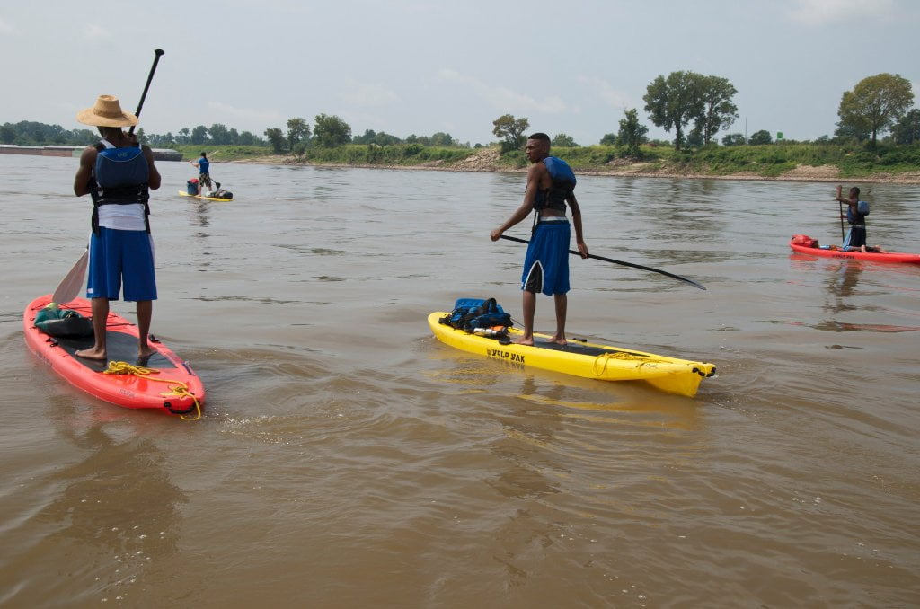
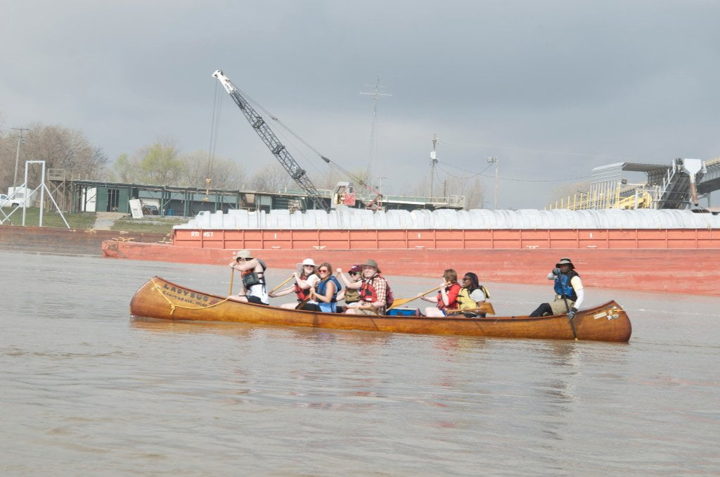
This is the only bridge in between Memphis and Greenville, over 200 miles of river.  And such is the nature of the Lower Mississippi, and what makes this water trail such an attractive adventure for wilderness paddlers.  The wildness of the Lower Mississippi River is reflected by the fact that there are so few crossings.


657 LBD Yazoo Pass

You will travel near the historic opening of Yazoo Pass as you paddle around Montezuma Bend starting near mile 657.  The Yazoo Pass used to connect the Mississippi River via Moon Lake to the Tallahatchie River system, and was one of the many routes that Grant used trying to sneak behind the rebel stronghold of Vicksburg.  2300 men on steamboats churned their way through this pass in 1863, but were repulsed 123 miles downstream at Fort Pemberton by a small Confederate force shielded by a sunken steamboat fortified with cotton bales.


How to get into the old entrance of the Yazoo Pass:

As you paddle down into Montezuma Bend Mile 657-Mile 652 (Friars Point) and the water is above twenty on the Helena Gauge (20 HG) you can sneak in behind a series of islands LBD that have grown up along the Montezuma Dikes.  There are a series of three long dikes starting with #1 opposite & a little below Fitzhugh Landing at 657.6, #2 at 657 and #3 at 656.5 all Left Bank Descending.  To get into the Yazoo Pass you will need to dive into the young willow islands formed behind #1 or #2.  By the time you get to #3 it will be too late.  Look for the buoys that indicate the ends of the dikes and pick the best-looking opening and charge in!  (Note: buoys are sometimes knocked out of place by high water or renegade tows running too close to the edge of the channel) You really can’t go wrong, but beware water rushing in through the trees (snags) and accumulations of driftwood piled against stands of willows (strainers).  Pick your best opening and jump in for a backwoods view of this interesting series of young willow-choked islands.  Oftentimes lesser & greater egrets roost on these willows alongside the great blue heron and other waders, in the fall & winter double breasted cormorants enjoy these wetlands and white pelicans sometimes make rest stops as they soaring through on their transcontinental migration.

Leave A Comment

SECTION MILE ACCESS CITY
Middle Mississippi & Bluegrass Hills / Bootheel 195-0, 954-850 ST. LOUIS TO CARUTHERSVILLE
Chickasaw Bluffs 850 – 737 CARUTHERSVILLE TO MEMPHIS
Upper Delta 737 – 663 MEMPHIS TO HELENA
Introduction  
Memphis to Tunica
736 LBD Memphis, Tennessee, Mud Island Harbor
Buoys and Docks  
Floating Underneath a Bridge  
734.7 Lower Bridges/Engineer’s Bar
734.7 The Frisco Bridge
734.7 The Harahan Bridge
734.7 The Ghost Bunker
734.7 The Old Bridge (Memphis & Arkansas Bridge)
733 President’s Island
Fleeted Barges  
732 LBD Hole in the Wall ##2
727.3 TVA Transmission Lines
727.3 RBD The Wreck of the Raft
Tennessee Valley Authority  
725.5 LBD Entrance to McKellar Lake
7 Miles Up harbor Riverside Park Marina On McKellar Lake  
724 T.E. Maxon Wastewater Treatement Facility
Paddler’s Routes Below Memphis  
727 – 712 Dismal Point/Ensley Bar/Cow Island Bend Area
726 – 717 Armstrong/Dismal Point/Ensley Bar
720 Josie Harry Bar
718 – 713 Cow Island Bend
Goodbye Tennessee, Hullo Mississippi  
The Yazoo-Mississippi Delta and the Blues  
711 – 705 Cat Island No.50
710.8 LBD Starr Landing
712 – 695 Paddler’s Routes Around Cat Island and the Casinos
Pickett Dikes Back Channel  
639.8 RBD Tunica Riverpark Museum Boat Ramp
Tunica Riverpark Museum  
Basket Bar Dikes/Porter lake Dikes  
693.8 RBD Lost Lake Pass
703 Buck Island (No. 53)
701 Gold Strike Casino
700 Fitzgerald’s Casino
Tunica to Helena
700 Basket Bar
Paddler’s Routes Through Commerce and Mhoon Bends  
695 – 690 Commerce Bend
692.5 RBD Peter’s Boat Ramp
690 Rabbit Island
Switching to thhe Helena Gage  
Dikes and Water Levels  
687.5 Mhoon Landing
689 – 685 Mhoon Bar
690 – 683 Mhoon Bend
682 – 679 Whiskey Chute/Walnut Bend
680 Whitehall Crevasse
Paddler’s Routes Below Walnut Bend  
Stumpy Island, Shoo Fly Bar and Tunica Lake  
Main Channel  
677.4 LBD Tunica Runout
Behind Shoo Fly Bar  
Stumpy Island  
Walnut Bend Boat Ramp  
Tunica Lake Boat Ramp  
679 RBD Walnut Bend Boat Ramp
679 – 677 Hardin Cut-Off
677.4 LBD Pass Into Tunica Lake
677 – 676 Shoo Fly Bar
677 – 674 Stumpy Island
674.5 Harbert Point
672 RBD Mouth of the St. Francis River
Primitive Landing at the Mouth of the St. Francis Rive – Conditions  
RBD 3 Miles up St. Francis River Three Mile Ramp
Daytrip: St. Francis to Helena  
St. Francis to Helena: Paddler’s Descriptions  
For Intermedite Paddlers: Right Bank Route  
For Expert Paddlers: Left Bank Route  
St. Francis River  
671 – 673 LBD St. Francis Bar
669 LBD Flower Lake Dikes
668 RBD (A View of) Crowley’s Ridge D
668-663 RBD Buck Island (Prairie Point Towhead)
665.5 LBD Trotter’s Pass
663 RBD Helena Harbor
Helena Boat Ramps  
663 RBD Helena-West Helena
Quapaw Canoe Company – Helena Outpost  
Helena’s “Low Road” Into St. Francis National Forest  
King Biscuit Blues Festival (2nd Week of October)  
Helena to Friars
661.6 Helena Bridge (Hernando De Soto Bridge – US HWY 49)
663 RBD Leaving Helena Harbor
Fleeted Barges  
Small Towns in Harbors  
Buoys and Other Stationary Objects  
Highlights of Civilization  
Pollution Within the Helena Industrial Reach  
661.6 Helena Bridge (Hernando De Soto Bridge – US HWY 49)
657 LBD  
How to Get Into the Old Entrance of the Yazoo Pass  
LBD: Alternate Route to Vicksburg: Yazoo Pass  
Yazoo Pass Milage  
Rivers & Robert Johnson  
656 LBD East Montezuma Bar
657 – 654 RBD Montezuma Towhead
654.7 LBD Montezuma Landing
Shuttle Route Montezuma to Clarksdale  
652 LBD Friars Point
652.2 LBD Friars Point Landing (Unimproved)
What’s to Come Further Downstream  
Appendix  
Middle Delta 663 – 537 HELENA TO GREENVILLE
Lower Delta 537 – 437 GREENVILLE TO VICKSBURG
Loess Bluffs 437 – 225 VICKSBURG TO BATON ROUGE
Atchafalaya River 159 – 0 SIMMESPORT TO MORGAN CITY
Louisiana Delta 229 – 10 BATON ROUGE TO VENICE
Birdsfoot Delta 10 – 0 VENICE TO GULF OF MEXICO