The Lower Mississippi River Water Trail

Fleeted Barges

As you are leaving the Memphis Industrial reach, be wary of the rows of fleeted barges ties up alongside either bank, especially in the 2 miles below the lower bridges, in the West Memphis area, and then also in the vicinity of the McKellar Lake Memphis Harbor.


What are fleeted barges? When any industrial or agricultural facility are filling or emptying barges, they tie them up along the bank of the river, sometimes one at a time, but more often in longer lines multiple barges deep. Sometimes they’re only one barge deep, sometimes they’ll tie more than one side-by-side. In chemical corridor down below Baton Rouge they’ll sometimes tie as many as a hundred long with ten or twelve deep! Most barges measure 35 x 250 feet but petroleum barges are often longer. The top end of any fleeted barges is an extremely dangerous place. Always avoid paddling anywhere near the upstream sides of barges — where the water is pushing in and underneath their top ends. It might look like you could simply hop aboard in case of emergency, but you won’t be able to! This is a trick of perspective on the big river. They are much higher off the water than they look.


LBD 732 Hole in the Wall #2

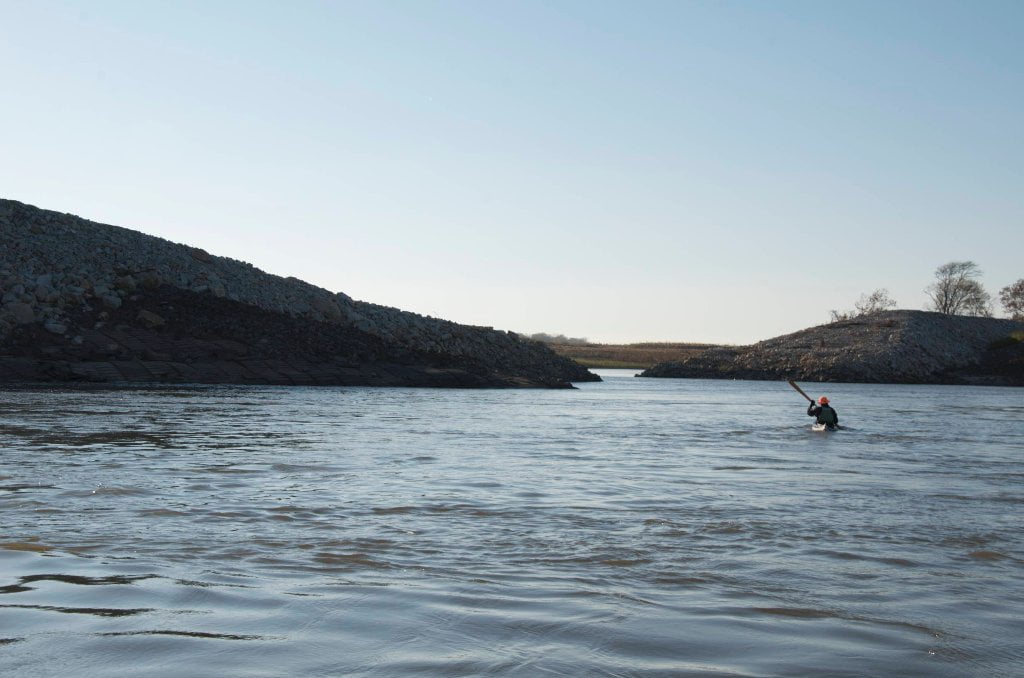
As you’re paddling downstream look for a gaping opening in the rip-rap LBD which you can paddle through if you so desire.  As you approach you will notice that the natural bankside of trees and mud retreats ever further behind an unnatural wall of rip-rap.  (At low water the effect is most strongly felt).  The river here is trying to eat the left bank, and our engineers are doing their best to keep it from doing so.  During the Great Flood of 2011 the main channel tried to carve a new channel through the center of President’s Island.  If it had been successful it could have destroyed McKellar Lake and the Memphis Industrial Harbor.  As of the summer of 2013 a fleet of Army Corps mega-cranes have been busily trying to recreate the lost bank with Limestone rip rap.  As result a King-Kong sized blue hole backwater has been created behind a Great Wall of China sized bank of rip rap.  You can paddle into this unique feature as you descend the Mississippi along the left bank.  They left a giant notch partway down.  When you see the opening in the rip-rap dive in.  Great place to get out of the wind, or make a quick exit from an approaching squall line or field of choppy towboat waves.  Not a true blue hole, the water is nevertheless clearer than the main channel which sometimes provides glimpses of fish, turtles and other creatures not normally seen elsewhere on the river.


727.3 TVA Transmission Lines

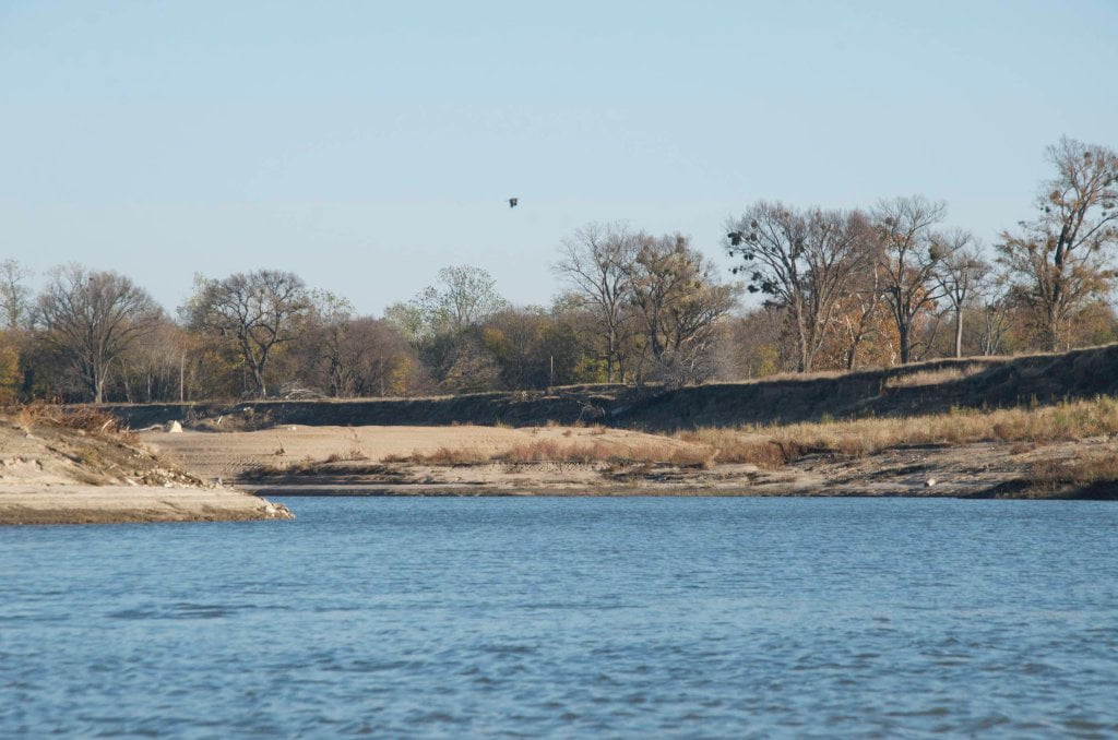
After rounding President’s Island the mile wide main channel narrows in half as it flows into Arkansas and is directed southward in a powerful and sometimes turbulent tongue of water.  You can find sandbars along the inside of the bend, but the industry and noise of West Memphis will be your closest neighbor.  Keep going five more miles for the best camping in the area, along and below Dismal Point Dikes.  Unless there are towboats in the vicinity go with the flow and make your crossing over to Arkansas and stay with the fast water past West Memphis docks and industry which is punctuated by the giant grain elevators of Riceland Foods.  Arkansas is the rice bowl of the western hemisphere.  It accounts for nearly 46% of total rice produced in the United States.  Its nearest competitor California doesn’t even come close at 18%.

Leave A Comment

SECTION MILE ACCESS CITY
Middle Mississippi & Bluegrass Hills / Bootheel 195-0, 954-850 ST. LOUIS TO CARUTHERSVILLE
Chickasaw Bluffs 850 – 737 CARUTHERSVILLE TO MEMPHIS
Upper Delta 737 – 663 MEMPHIS TO HELENA
Introduction  
Memphis to Tunica
736 LBD Memphis, Tennessee, Mud Island Harbor
Buoys and Docks  
Floating Underneath a Bridge  
734.7 Lower Bridges/Engineer’s Bar
734.7 The Frisco Bridge
734.7 The Harahan Bridge
734.7 The Ghost Bunker
734.7 The Old Bridge (Memphis & Arkansas Bridge)
733 President’s Island
Fleeted Barges  
732 LBD Hole in the Wall ##2
727.3 TVA Transmission Lines
727.3 RBD The Wreck of the Raft
Tennessee Valley Authority  
725.5 LBD Entrance to McKellar Lake
7 Miles Up harbor Riverside Park Marina On McKellar Lake  
724 T.E. Maxon Wastewater Treatement Facility
Paddler’s Routes Below Memphis  
727 – 712 Dismal Point/Ensley Bar/Cow Island Bend Area
726 – 717 Armstrong/Dismal Point/Ensley Bar
720 Josie Harry Bar
718 – 713 Cow Island Bend
Goodbye Tennessee, Hullo Mississippi  
The Yazoo-Mississippi Delta and the Blues  
711 – 705 Cat Island No.50
710.8 LBD Starr Landing
712 – 695 Paddler’s Routes Around Cat Island and the Casinos
Pickett Dikes Back Channel  
639.8 RBD Tunica Riverpark Museum Boat Ramp
Tunica Riverpark Museum  
Basket Bar Dikes/Porter lake Dikes  
693.8 RBD Lost Lake Pass
703 Buck Island (No. 53)
701 Gold Strike Casino
700 Fitzgerald’s Casino
Tunica to Helena
700 Basket Bar
Paddler’s Routes Through Commerce and Mhoon Bends  
695 – 690 Commerce Bend
692.5 RBD Peter’s Boat Ramp
690 Rabbit Island
Switching to thhe Helena Gage  
Dikes and Water Levels  
687.5 Mhoon Landing
689 – 685 Mhoon Bar
690 – 683 Mhoon Bend
682 – 679 Whiskey Chute/Walnut Bend
680 Whitehall Crevasse
Paddler’s Routes Below Walnut Bend  
Stumpy Island, Shoo Fly Bar and Tunica Lake  
Main Channel  
677.4 LBD Tunica Runout
Behind Shoo Fly Bar  
Stumpy Island  
Walnut Bend Boat Ramp  
Tunica Lake Boat Ramp  
679 RBD Walnut Bend Boat Ramp
679 – 677 Hardin Cut-Off
677.4 LBD Pass Into Tunica Lake
677 – 676 Shoo Fly Bar
677 – 674 Stumpy Island
674.5 Harbert Point
672 RBD Mouth of the St. Francis River
Primitive Landing at the Mouth of the St. Francis Rive – Conditions  
RBD 3 Miles up St. Francis River Three Mile Ramp
Daytrip: St. Francis to Helena  
St. Francis to Helena: Paddler’s Descriptions  
For Intermedite Paddlers: Right Bank Route  
For Expert Paddlers: Left Bank Route  
St. Francis River  
671 – 673 LBD St. Francis Bar
669 LBD Flower Lake Dikes
668 RBD (A View of) Crowley’s Ridge D
668-663 RBD Buck Island (Prairie Point Towhead)
665.5 LBD Trotter’s Pass
663 RBD Helena Harbor
Helena Boat Ramps  
663 RBD Helena-West Helena
Quapaw Canoe Company – Helena Outpost  
Helena’s “Low Road” Into St. Francis National Forest  
King Biscuit Blues Festival (2nd Week of October)  
Helena to Friars
661.6 Helena Bridge (Hernando De Soto Bridge – US HWY 49)
663 RBD Leaving Helena Harbor
Fleeted Barges  
Small Towns in Harbors  
Buoys and Other Stationary Objects  
Highlights of Civilization  
Pollution Within the Helena Industrial Reach  
661.6 Helena Bridge (Hernando De Soto Bridge – US HWY 49)
657 LBD  
How to Get Into the Old Entrance of the Yazoo Pass  
LBD: Alternate Route to Vicksburg: Yazoo Pass  
Yazoo Pass Milage  
Rivers & Robert Johnson  
656 LBD East Montezuma Bar
657 – 654 RBD Montezuma Towhead
654.7 LBD Montezuma Landing
Shuttle Route Montezuma to Clarksdale  
652 LBD Friars Point
652.2 LBD Friars Point Landing (Unimproved)
What’s to Come Further Downstream  
Appendix  
Middle Delta 663 – 537 HELENA TO GREENVILLE
Lower Delta 537 – 437 GREENVILLE TO VICKSBURG
Loess Bluffs 437 – 225 VICKSBURG TO BATON ROUGE
Atchafalaya River 159 – 0 SIMMESPORT TO MORGAN CITY
Louisiana Delta 229 – 10 BATON ROUGE TO VENICE
Birdsfoot Delta 10 – 0 VENICE TO GULF OF MEXICO