The Lower Mississippi River Water Trail

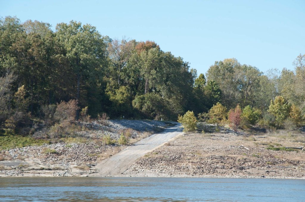
At higher water levels you can stay right bank descending into Walnut Bend and duck behind a small isolated island built up within the Walnut Bend Dikes near RBD 681.  After sliding back out of this short channel you will be less than a mile from the St. Francis River, which has meandered into the vicinity of the big river, and then meanders outward, and continues on curving downstream another 21 miles before its junction with the mother Mississippi (only 7 miles by the big river).  You might want to make a landing here and walk through the woods and climb to the top of the levee and see the sluggish St. Francis beyond over some fields.  Along the way you will walk through several depressions in the forest floor.  These low places are the remnants of some geomorphologic shaping that occurred when the Mississippi tried to jump channel and make a new confluence of the St. Francis River during the Great Flood of 1927 (known as the Whitehall Crevasse).  It makes for an interesting side trip, but be sure to secure your canoe or kayak well above wave splash height along the bank before doing so, especially at low water when the passing tows will slam it against the sharp stones of the rip-rap.


680 Whitehall Crevasse

The rampaging Mississippi broke through at Whitehall on April 15, 1927, and the gap enlarged rapidly until it was 2,400 feet wide, The St. Francis River flows within a mile of the Lower Mississippi in the vicinity of Whitehall, and the great crevasse very nearly allowed the two rivers to come together in a new confluence many miles above the normal mouth of the little tributary.  The Whitehall crevasse occurred so unexpectedly that many people living in the area affected had to take refuge in trees and on housetops. Some of them had to wait several days on their uncomfortable perches for rescue.  There were 13 major crevasses in 1927, and official reports estimated that 330,000 persons had to be rescued from trees and housetops. Before the flood had ended, 700,000 people had to leave their homes.  (Braggs: Historic Names)


Paddler’s routes below Walnut Bend:

Stumpy Island, Shoo Fly Bar and Tunica Lake

https://maps.google.com/maps/ms?msid=217859314001592865582.0004e5d0230125ad128fd&msa=0&ll=
34.686581,-90.549831&spn=0.169384,0.368042

http://goo.gl/maps/VjHqN


The paddler has a couple of enticing routes to follow below Walnut Bend, with Shoo Fly on one side of the channel and Stumpy Island on the other and a fantastic side-trip option into Tunica Lake.


Main Channel

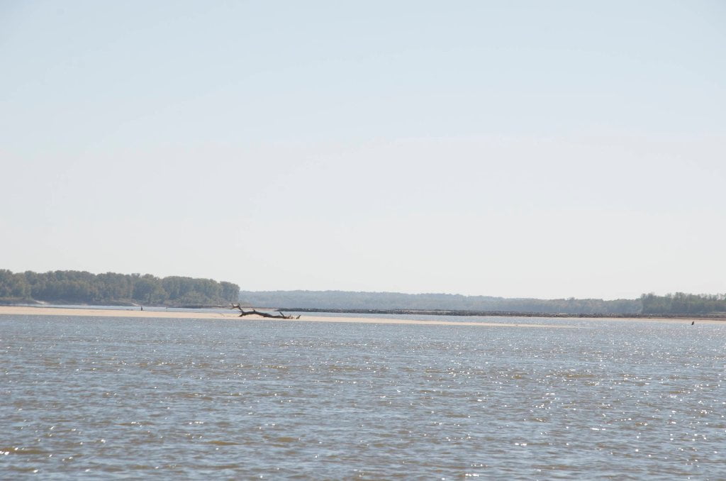
Follow the main channel of the river bouncing back and forth in between Shoo Fly Bar, Harbert Point and Stumpy Island.  The St. Francis River confluence is two miles below Stumpy Island.


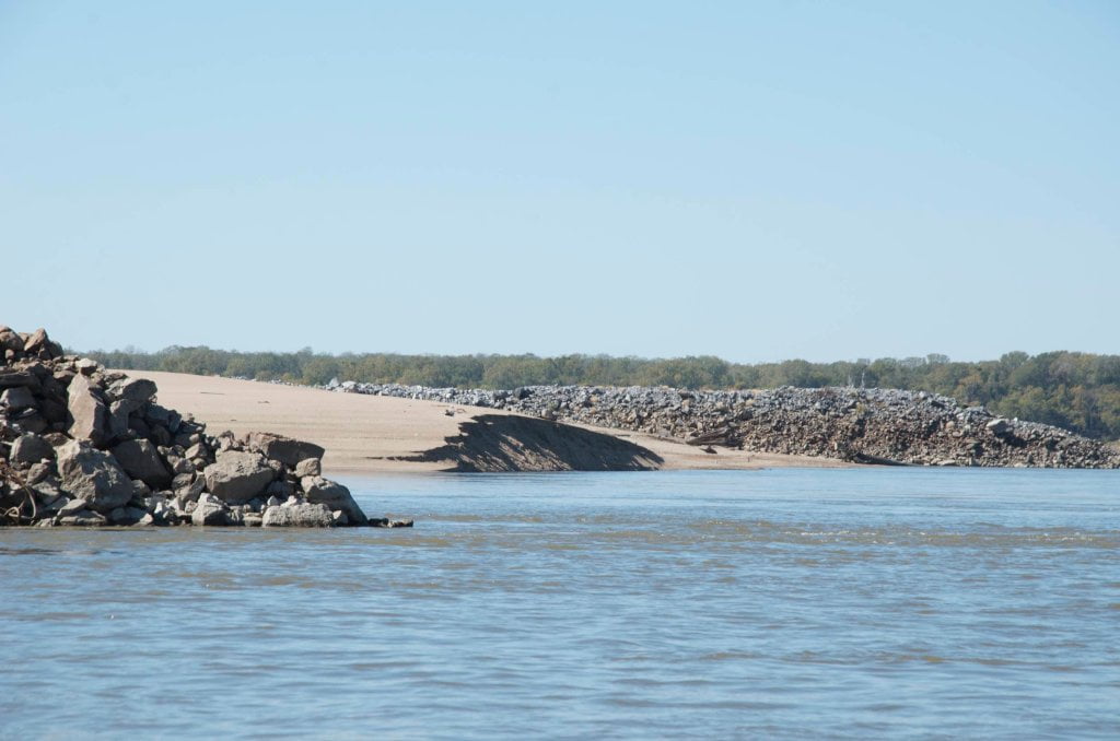
Tunica Runout LBD 677.4

The Tunica Runout is a dynamic three-and-a-half mile long passage connecting the big river and the giant oxbow Tunica Lake.  Enter deep woods east off the river and paddle over rock weir 1/4 mile upstream of mouth (passable above 10HG).  Channel curves increasingly southward several miles and then enters Tunica Lake through descending lines of willows.  Paddle as far as you feel like going then turn around and paddle back.


Behind Shoo Fly Bar

During low water you can stay LBD and make short foray behind the ethereal creamy yellow sands of Shoo Fly.  One of the rare back channels flowing during low water.

Leave A Comment

SECTION MILE ACCESS CITY
Middle Mississippi & Bluegrass Hills / Bootheel 195-0, 954-850 ST. LOUIS TO CARUTHERSVILLE
Chickasaw Bluffs 850 – 737 CARUTHERSVILLE TO MEMPHIS
Upper Delta 737 – 663 MEMPHIS TO HELENA
Introduction  
Memphis to Tunica
736 LBD Memphis, Tennessee, Mud Island Harbor
Buoys and Docks  
Floating Underneath a Bridge  
734.7 Lower Bridges/Engineer’s Bar
734.7 The Frisco Bridge
734.7 The Harahan Bridge
734.7 The Ghost Bunker
734.7 The Old Bridge (Memphis & Arkansas Bridge)
733 President’s Island
Fleeted Barges  
732 LBD Hole in the Wall ##2
727.3 TVA Transmission Lines
727.3 RBD The Wreck of the Raft
Tennessee Valley Authority  
725.5 LBD Entrance to McKellar Lake
7 Miles Up harbor Riverside Park Marina On McKellar Lake  
724 T.E. Maxon Wastewater Treatement Facility
Paddler’s Routes Below Memphis  
727 – 712 Dismal Point/Ensley Bar/Cow Island Bend Area
726 – 717 Armstrong/Dismal Point/Ensley Bar
720 Josie Harry Bar
718 – 713 Cow Island Bend
Goodbye Tennessee, Hullo Mississippi  
The Yazoo-Mississippi Delta and the Blues  
711 – 705 Cat Island No.50
710.8 LBD Starr Landing
712 – 695 Paddler’s Routes Around Cat Island and the Casinos
Pickett Dikes Back Channel  
639.8 RBD Tunica Riverpark Museum Boat Ramp
Tunica Riverpark Museum  
Basket Bar Dikes/Porter lake Dikes  
693.8 RBD Lost Lake Pass
703 Buck Island (No. 53)
701 Gold Strike Casino
700 Fitzgerald’s Casino
Tunica to Helena
700 Basket Bar
Paddler’s Routes Through Commerce and Mhoon Bends  
695 – 690 Commerce Bend
692.5 RBD Peter’s Boat Ramp
690 Rabbit Island
Switching to thhe Helena Gage  
Dikes and Water Levels  
687.5 Mhoon Landing
689 – 685 Mhoon Bar
690 – 683 Mhoon Bend
682 – 679 Whiskey Chute/Walnut Bend
680 Whitehall Crevasse
Paddler’s Routes Below Walnut Bend  
Stumpy Island, Shoo Fly Bar and Tunica Lake  
Main Channel  
677.4 LBD Tunica Runout
Behind Shoo Fly Bar  
Stumpy Island  
Walnut Bend Boat Ramp  
Tunica Lake Boat Ramp  
679 RBD Walnut Bend Boat Ramp
679 – 677 Hardin Cut-Off
677.4 LBD Pass Into Tunica Lake
677 – 676 Shoo Fly Bar
677 – 674 Stumpy Island
674.5 Harbert Point
672 RBD Mouth of the St. Francis River
Primitive Landing at the Mouth of the St. Francis Rive – Conditions  
RBD 3 Miles up St. Francis River Three Mile Ramp
Daytrip: St. Francis to Helena  
St. Francis to Helena: Paddler’s Descriptions  
For Intermedite Paddlers: Right Bank Route  
For Expert Paddlers: Left Bank Route  
St. Francis River  
671 – 673 LBD St. Francis Bar
669 LBD Flower Lake Dikes
668 RBD (A View of) Crowley’s Ridge D
668-663 RBD Buck Island (Prairie Point Towhead)
665.5 LBD Trotter’s Pass
663 RBD Helena Harbor
Helena Boat Ramps  
663 RBD Helena-West Helena
Quapaw Canoe Company – Helena Outpost  
Helena’s “Low Road” Into St. Francis National Forest  
King Biscuit Blues Festival (2nd Week of October)  
Helena to Friars
661.6 Helena Bridge (Hernando De Soto Bridge – US HWY 49)
663 RBD Leaving Helena Harbor
Fleeted Barges  
Small Towns in Harbors  
Buoys and Other Stationary Objects  
Highlights of Civilization  
Pollution Within the Helena Industrial Reach  
661.6 Helena Bridge (Hernando De Soto Bridge – US HWY 49)
657 LBD  
How to Get Into the Old Entrance of the Yazoo Pass  
LBD: Alternate Route to Vicksburg: Yazoo Pass  
Yazoo Pass Milage  
Rivers & Robert Johnson  
656 LBD East Montezuma Bar
657 – 654 RBD Montezuma Towhead
654.7 LBD Montezuma Landing
Shuttle Route Montezuma to Clarksdale  
652 LBD Friars Point
652.2 LBD Friars Point Landing (Unimproved)
What’s to Come Further Downstream  
Appendix  
Middle Delta 663 – 537 HELENA TO GREENVILLE
Lower Delta 537 – 437 GREENVILLE TO VICKSBURG
Loess Bluffs 437 – 225 VICKSBURG TO BATON ROUGE
Atchafalaya River 159 – 0 SIMMESPORT TO MORGAN CITY
Louisiana Delta 229 – 10 BATON ROUGE TO VENICE
Birdsfoot Delta 10 – 0 VENICE TO GULF OF MEXICO