The Lower Mississippi River Water Trail
How to Get Back from the Gulf
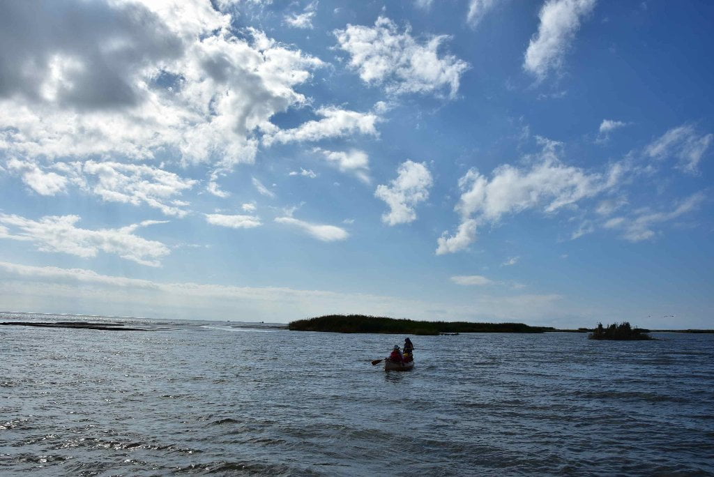
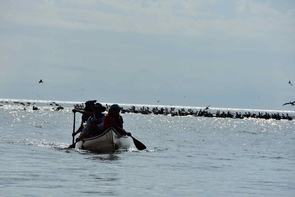
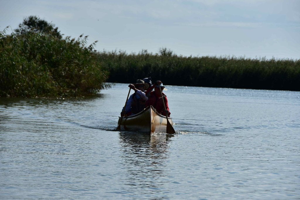
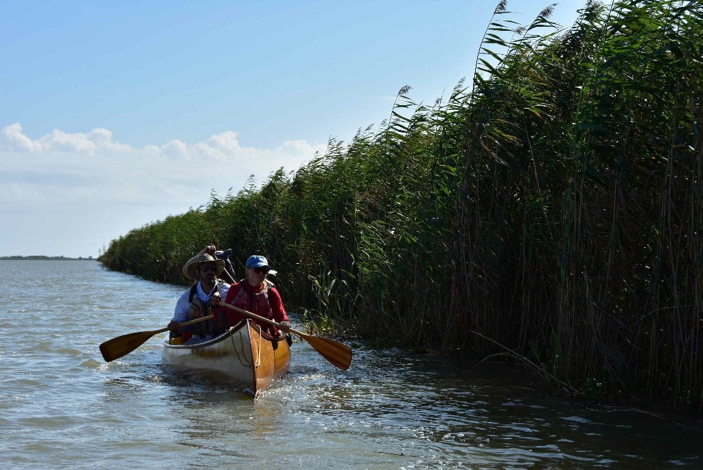
Whether you paddle back from the Gulf, or hitch a ride with a powerboat, Cypress Cove is the best place to return to, and meet your shuttle home. Venice Marina is a close second. Keep reading below for details about each, and contact info. A lot of paddlers in recent years have arranged for powerboats to shuttle them back from the ocean, or have hitched rides from passing fishing boats or workboats on their return to home port (which is almost always Venice for everyone in the Birdsfoot Delta). And you might decide the same, that you don’t want to paddle upstream. The current can sometimes be tough to paddle against, and the wind might be unfavorable. You are probably exhausted from your long day’s paddle to reach the coast, and really don’t have the energy to paddle back. But please know, dear paddler, that it isn’t too tough to paddle upstream. And you can make an extra campsite, and the take an extra day to paddle back to Venice. You will never be more than 25 miles from any given extremity of the Birdsfoot Delta. (The only exception would be the Southwest Pass, which is not recommended) The Quapaws are the downstream people, and the Omahas are the Upstream people. You have been a Quapaw for three months or more. Be an Omaha for a day or two. Anyone who has paddled the length of the Mississippi can surely paddle back upstream 25 miles! If the water is high and you have headwinds it might require 2 days of paddling. Lastly and most importantly, there is a distinct beauty in being an Omaha and making the upstream paddle home. You see the marshes and cane brakes and islands and mudflats up close and intimately in a way that you never do paddling downstream. You get closer to birds and other wildlife. You might see (and take photos of) animals you have not been able to approach, like nutria, osprey, green tree frogs, and maybe even a gator.
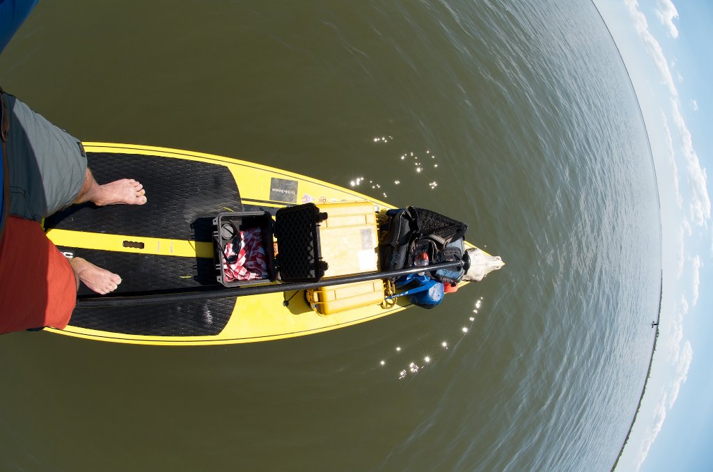
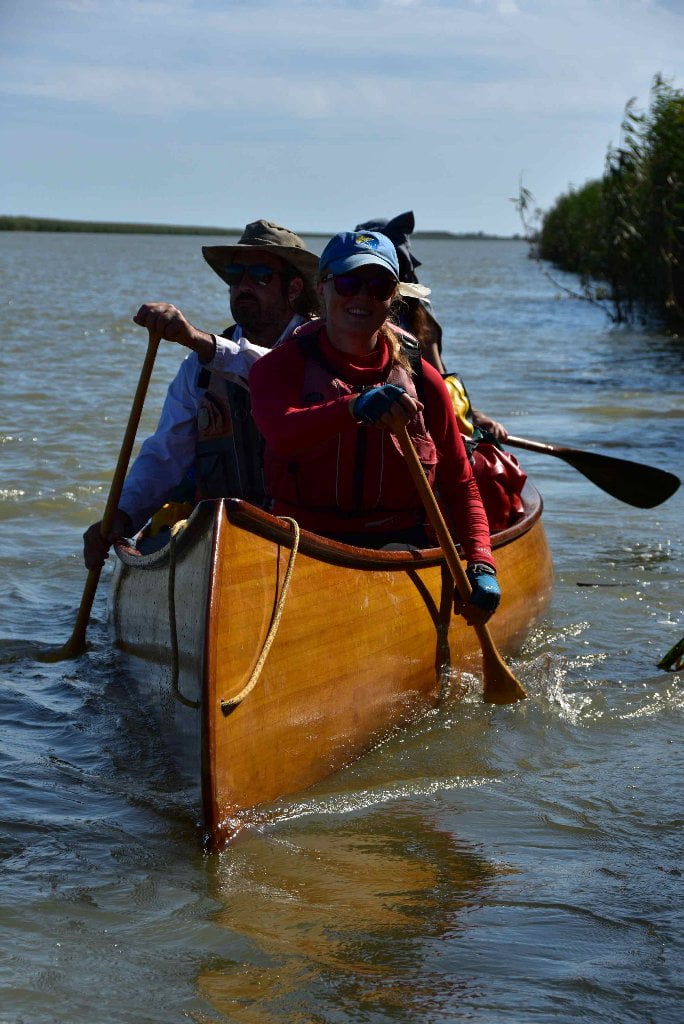
Paddling Back Upstream to Venice
The trick to upstream paddling is to find the path of least resistance. On a river, that means staying as close to shore as possible without grounding out. It helps to hug the inside of long bends when possible. You will find it necessary to follow the long lines around wing dams, jetties and dikes, and paddle underneath docks or other man-made structures that get in the way. But the most important skill in being an Omaha is learning to dive in and out of eddies. Paddle like the French Voyageurs of the Lewis and Clark who paddled up the Missouri, and then later up the Columbia and Snake rivers. Watch carefully in front of you for eddies and slow places and use them to your advantage. Cut into every eddy you can find and relax when you can. As the water speed increases past points in between eddies paddle hard and tough with quick bursts of energy. Find the next slow place and take a break. If the wind is blowing, hug the shore which offers the best protection.
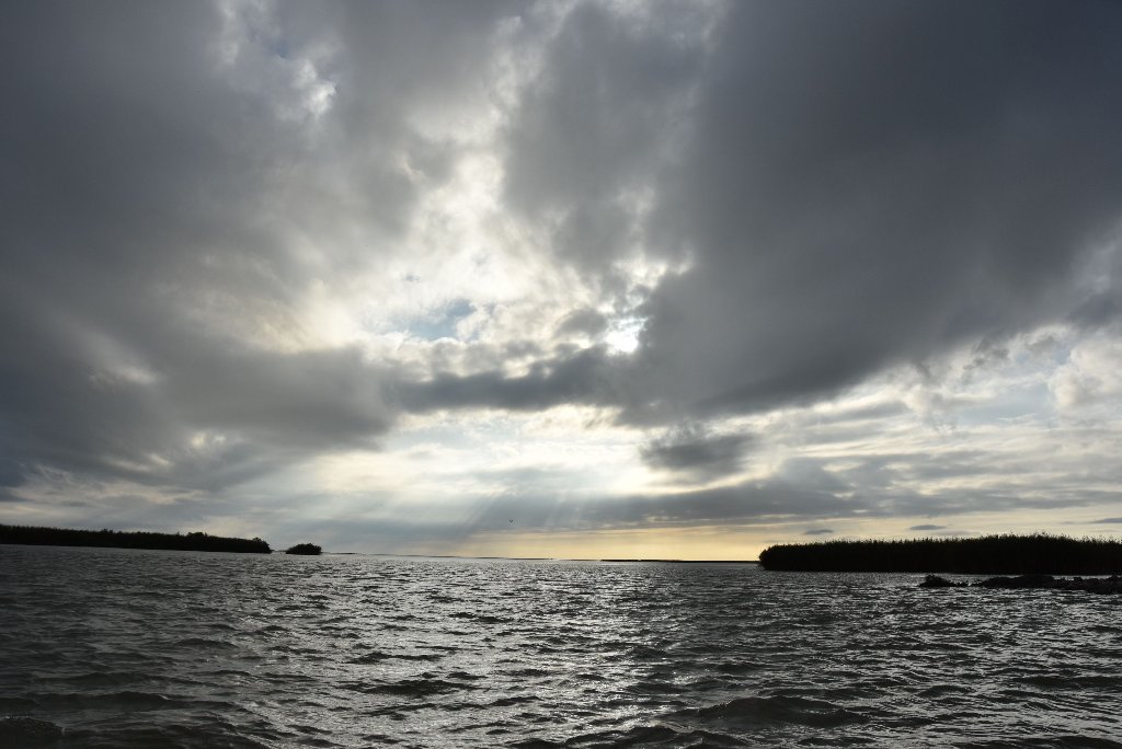
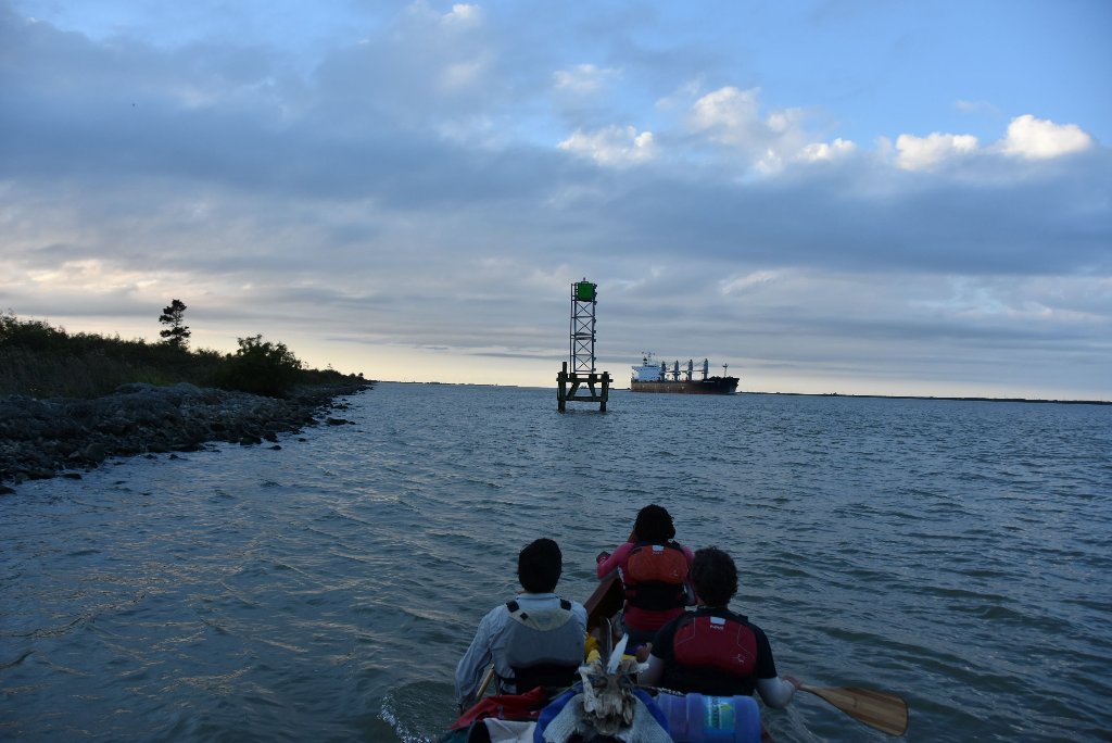
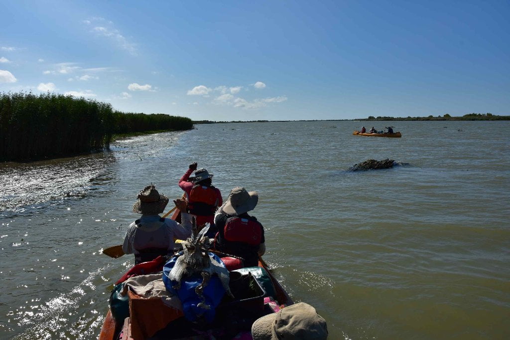
For the most part paddling up the passes from the ocean will be enjoyable, and not too tough. The water is slow in most passes (unless in flood). Try to time your return with the incoming tide. The most challenging portion of your return paddle to Venice will be the 10 mile stretch of the main channel from Mile -0- up to Venice. The currents are almost always strong here, even with the tide in your favor. Also, you will have to make a channel crossing somewhere along the way (since all the attractive passes except SW pass are found flowing from the East Bank opposite Venice). This might be a dangerous crossing with the frequent freighter traffic moving up and down the river through here. But with careful examination, and monitoring your VHF marine radio on channel 67 you will be fine. Make your crossing as quick as possible, in a perpendicular run straight for the opposite shore, even if it means losing some ground due to river flow. You will quickly regain any lost ground once you resume paddling back up the other shore.
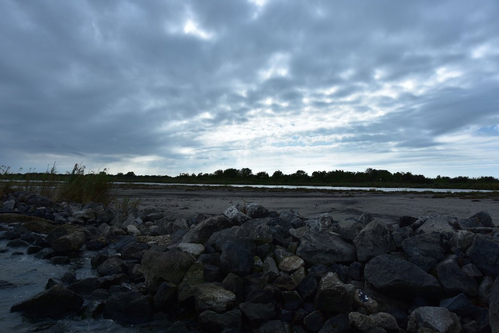
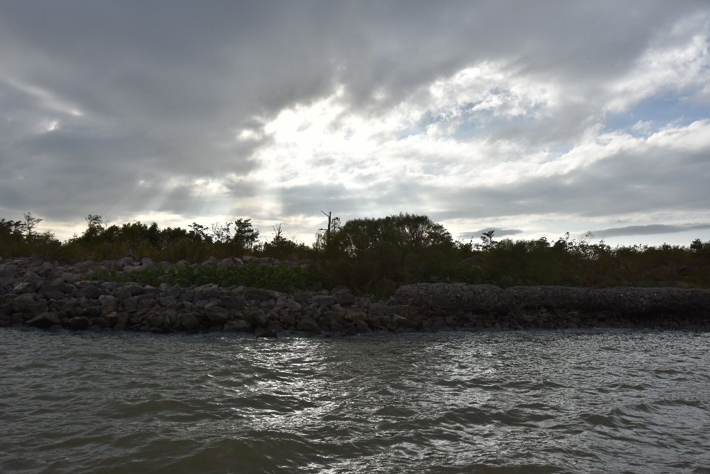
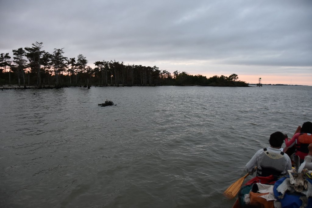
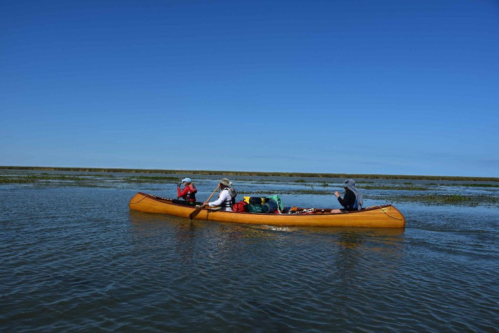
In general the East Bank will be easier to paddle alongside going upstream since it has slower flowing water. You will have to maneuver around some of the docking and port facilities surrounding Pilottown, but these obstructions further slow the current and make the upstream haul a little easier. Furthermore, the East bank features more inlets, passes, and other breaks that offer more opportunities for rest stops along the way. In contrast, the West Bank between Mile -0- and Venice is an almost contiguous line of rip rap and caged rock. There are only a few openings, and none of them except one (New Pass) with attractive landings. Even though the distance might be a little shorter (depending on what pass you take) the current is faster along the West Bank. All in all East Bank seems to be the best choice for the upstream paddle. The one factor that might change your decision is the wind speed and direction. In a strong west wind or southwest wind you would certainly do better hugging the West Bank.
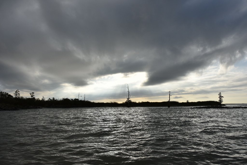
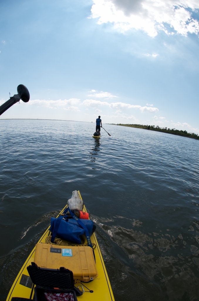
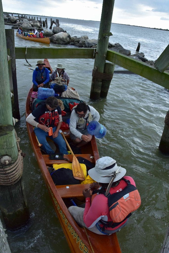
After ten miles of upstream paddling (from Head of Passes) you will reach the top end of Grand Pass Island, and your long climb will be over. Paddle into the gentle current flowing down Grand Pass, and follow it one mile to Tiger Pass, one mile further to take out at Cypress cove. This short downstream paddle is doubly delicious: the end of your upstream travail, and the end of your expedition. Now you are rewarded by one last little piece of downstream muddy waters, the same muddy waters that you started on in St. Louis, or Minneapolis, or Sioux City, or Three Forks, or wherever it is that you first set your vessel into the river and started your first paddle stroke downstream to reach this point.
What do you do now with your Vessel?
After expedition completion, most paddlers arrange a return shuttle home with their canoe, kayak or paddleboard. But a surprising number have no plans to keep their vessels, and try to sell them or donate them to a worthy cause when they reach the end of the river. Some such recipients of donations in the past have been the Mighty Quapaw Apprenticeship Program, the Helena Canoe Club (outdoors program for Arkansas Delta youth), and the Clarksdale Canoe Club (outdoors program for Mississippi Delta youth). All of the above are associated with LiNKS, which means “Leave No Kid on Shore.” You can donate any of your vessels to this successful program which has changed the lives of many southern youngsters who otherwise would have no access to the outdoors, and has assisted many of those to a career in outdoor leadership and education.
What do you do now with your Vessel?
After expedition completion, most paddlers arrange a return shuttle home with their canoe, kayak or paddleboard. But a surprising number have no plans to keep their vessels, and try to sell them or donate them to a worthy cause when they reach the end of the river. Some such recipients of donations in the past have been the Mighty Quapaw Apprenticeship Program, the Helena Canoe Club (outdoors program for Arkansas Delta youth), the Clarksdale Canoe Club (outdoors program for Mississippi Delta youth). All of the above are associated with LiNKS, which means “Leave No Kid on Shore.” You can donate any of your vessels to this successful program which has changed the lives of many southern youngsters who otherwise would have no access to the outdoors, and has assisted many of those to a career in outdoor leadership and education. See the Rivergator Section #10 Venice to Gulf for more information and contacts for LiNKS. Donate your vessel to LiNKS and you might be able to arrange return transportation to New Orleans or Baton Rouge at the same time!
Boat Ramps and Landings
You could count the number of paved public access boat ramps below Baton Rouge on one of your hands. In fact, here they are, all four of them: Glass Beach, Plaquemine, Buras and Venice. There is reliable public access via boat ramp built using the crude revetment method at Bonnet Carre and Belle Chasse. In addition, you can find gravel access to the river (but not a concrete ramp) at Port Sulphur (conveniently providing access over the levee to an all-night cajun cafe and the last full-service grocery store heading to the Gulf on the river! Go to Port Sulphur in Rivergator for more details!). Another public gravel ramp is found immediately upstream of Fort Jackson. Several other landings in public places could make for “primitive access,” meaning the road does not actually meet the water (except in certain high water levels) but gets close enough to make a portage possible. These primitive landings are found over the levee from downtown White Castle, Algiers, and Donaldsonville. lastly, you could possibly gain permission to access land from the river via the private gravel landings found over the levee from some of the plantations, notably at Nottaway, Oak Alley and Point Houmas Plantations. These gravel landings might be occupied by a visiting steamboat, but with permission you can find access alongside the gangplank. Audubon Park at the end of the St. Charles Line in New Orleans makes a pleasant place to meet your party, but the only safe way to make a landing would be to lift your vessel and all your gear out of the water and up the steep bank composed of baled rock.


Leave A Comment
You must be logged in to post a comment.