The Lower Mississippi River Water Trail
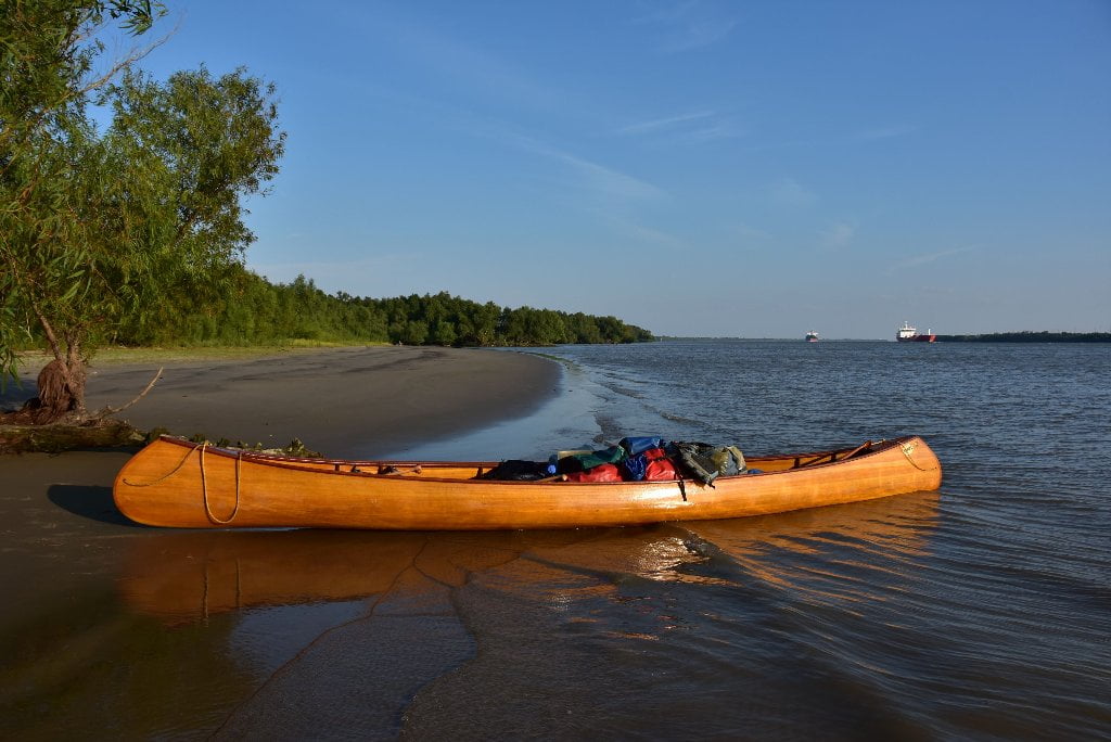
44.4 LBD Bohemia Beach
Best all-weather camping and picnicking below New Orleans. Good up to 8NO gage, questionable after that, completely underwater at 12NO gage. Last big beach on the Lower Mississippi River.
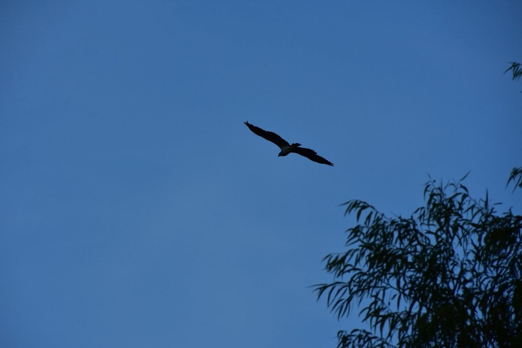
At the end of the roads and levees on the east bank of the Mississippi River lies a beautiful, calming, freshwater beach. With the help of wind and consistent freighter. This is where the trees shorten and the marsh starts, and the river starts to act like an ocean. With the tide effect, and waves crashing from passing freighters you get a Caribbean feel. The long slightly crested shoreline is very gently sloped, with fern-like willows starting the grassy meadows adjacent to the tree line. A haven for many birds including osprey, eagles, seagulls, hawks, anhingas, roseate spoonbills, herons, egrets, pelicans, and frigates. Be aware of the water line, and set your camp well above. Ocean-liners and freighters create ocean-like waves when passing. Place your tents in the second line of trees. Some bored river-rats, waiting out a storm, built a make-ship playground of barge rope and wire spoils adding character to this freshwater paradise. (Mark River)
Bohemia Beach is an unusual sanctuary of firm sand, willows, and wildlife, located at the end of the roads along the East Bank. This is the last big beach on the Lower Mississippi River! (Until you reach the beaches at the ends of the passes, that is). At its southern end is the head of the first natural pass to the Gulf, Mardis Gras Pass. Bohemia Beach is the best all-weather camping and picnicking below New Orleans. It is high enough to create good low water and camping, but low enough in the surrounding willows and marshes to not be industrialized. The ground here is dry up to 8NO gage, but questionable after that. The entire beach and safe dry places go completely underwater at 12NO gage. You’ll find shelves of sand and grasses perched 3-4 feet above the river at low tide, in low water (0-8NO), but watch for dramatic shifts in water level with passing boats, especially cruise ships and container ships.
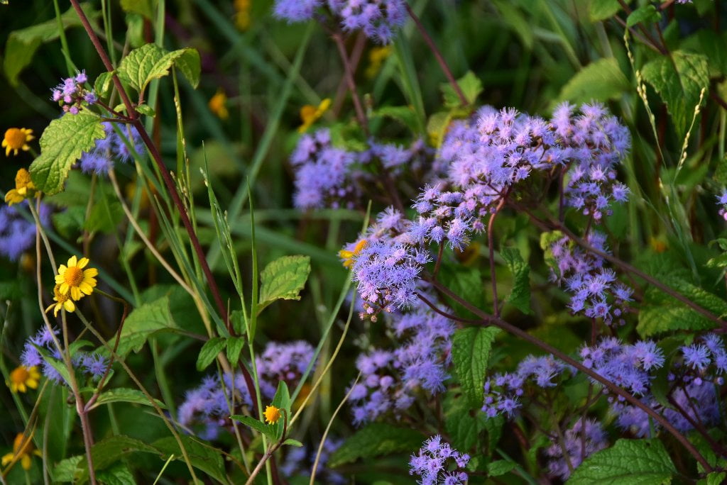
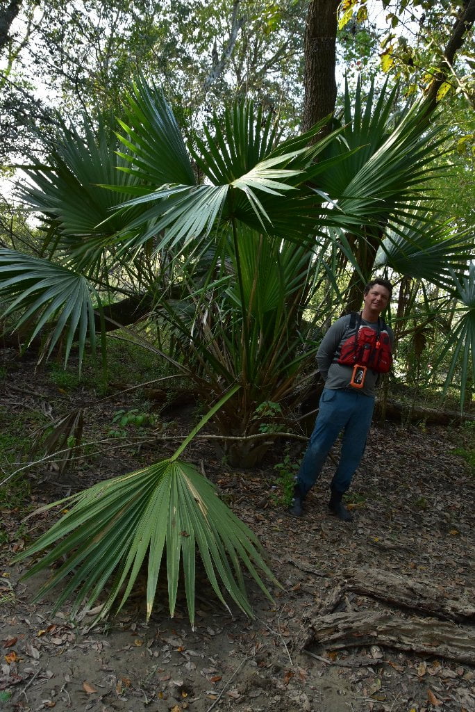
Clumps of willows grow close to the water’s edge along the whole length of the beach, creating inlets between them, and hence a series of private beaches. You could pull up in between any of these clumps of willows and pull your vessel high into the grasses further back and enjoy a completely isolated and protected place, even if some other party was camping nearby. Watch out, however, for fast-rising waters coming in crashing waves between the trees as the tide comes in an ships go flying by. These private beaches begin below the channel marker 44.9 LBD and continue downstream a half mile where a broad beach opens up and runs further downstream to the top of a inlet with a thriving population of birds, amphibians and mammals. Low willow forests surround this inlet, and others connected to it, but are unfit for camping because of swiftly rising waters during high tide and passing ships. Further back behind the beaches you’ll find a diverse forest with tallow, live oak, river birch, red maple, sycamore, hackberry, chinaberry and pecan. Similar to bottomland hardwood forests further north, but the trees here are shorter with smaller trunks.
WARNING: Do not camp on this beach! Do not leave your vessel unattended on this beach! Because of its shallow waters and the proximity of the main channel, tsunami-like conditions can occur here with the passing of big ships. You will be horrified to experience this. All of the water drains off the beach, hundreds of feet out in sickening sucking sounds. There is a pause. Then all of the water returns, and the glistening wet sand is replaced with wave upon wave of returning high water, lines of curling crashing waves that slap the beach repeatedly higher and higher until the whole beach is swarmed over, right up to the high grasses behind! Just like a mini-tsunami, the water here reacts with extreme reversals across the beach.
NOTE: cruise ships often pass in the night, returning from their overnight runs across the Gulf of Mexico from Cancun. Container ships will sometimes wait until high tide to come charging up the river, resulting in the biggest possible waves at the highest of water levels.
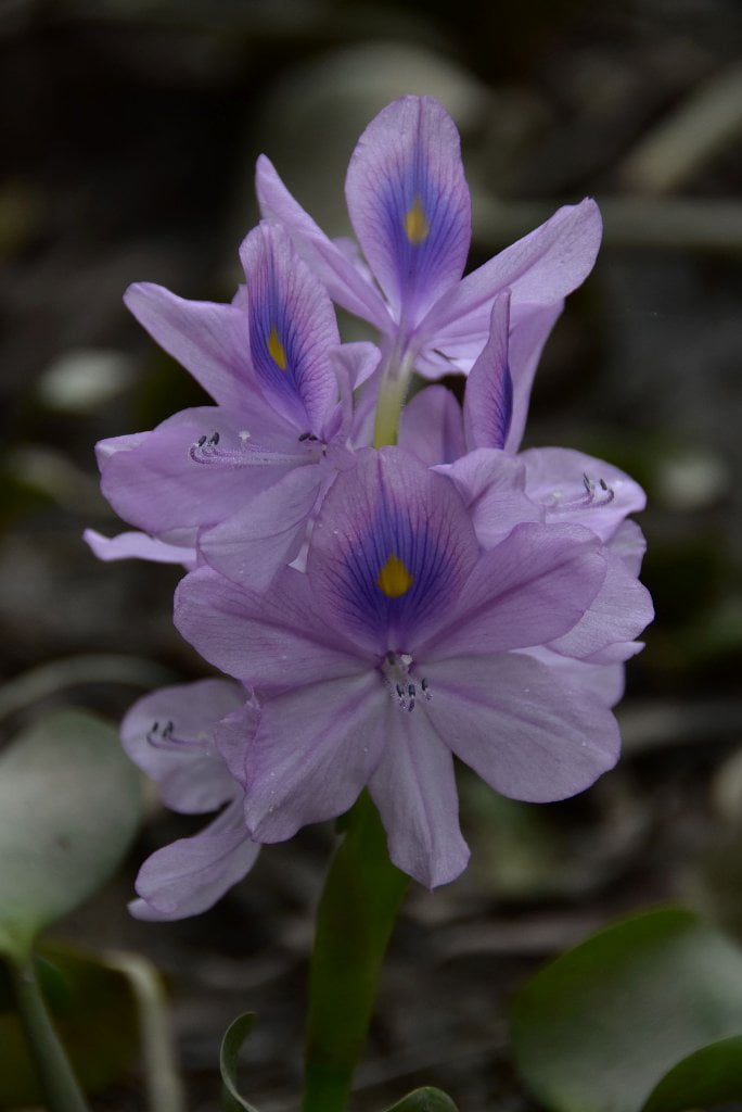
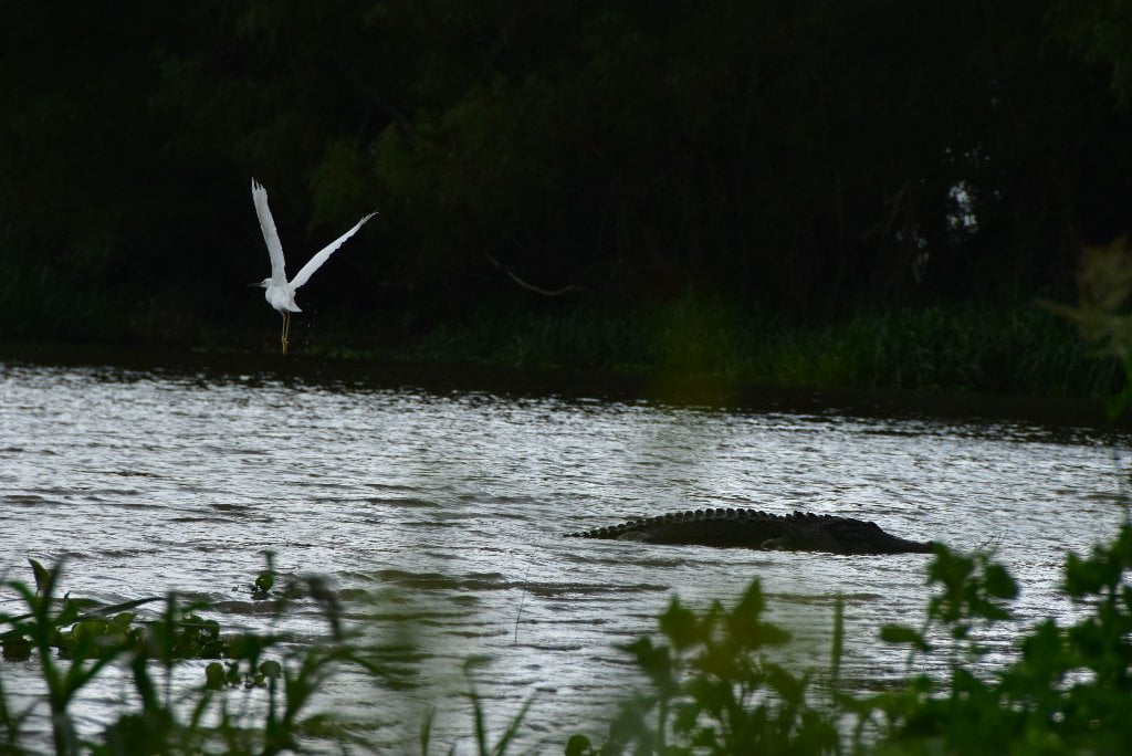
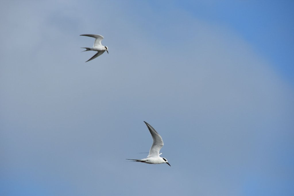
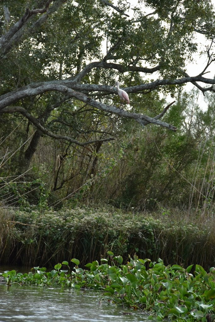
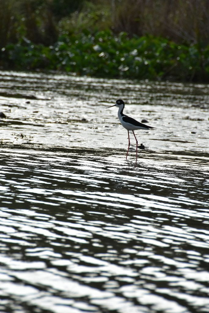
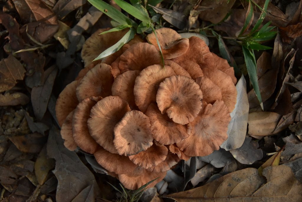
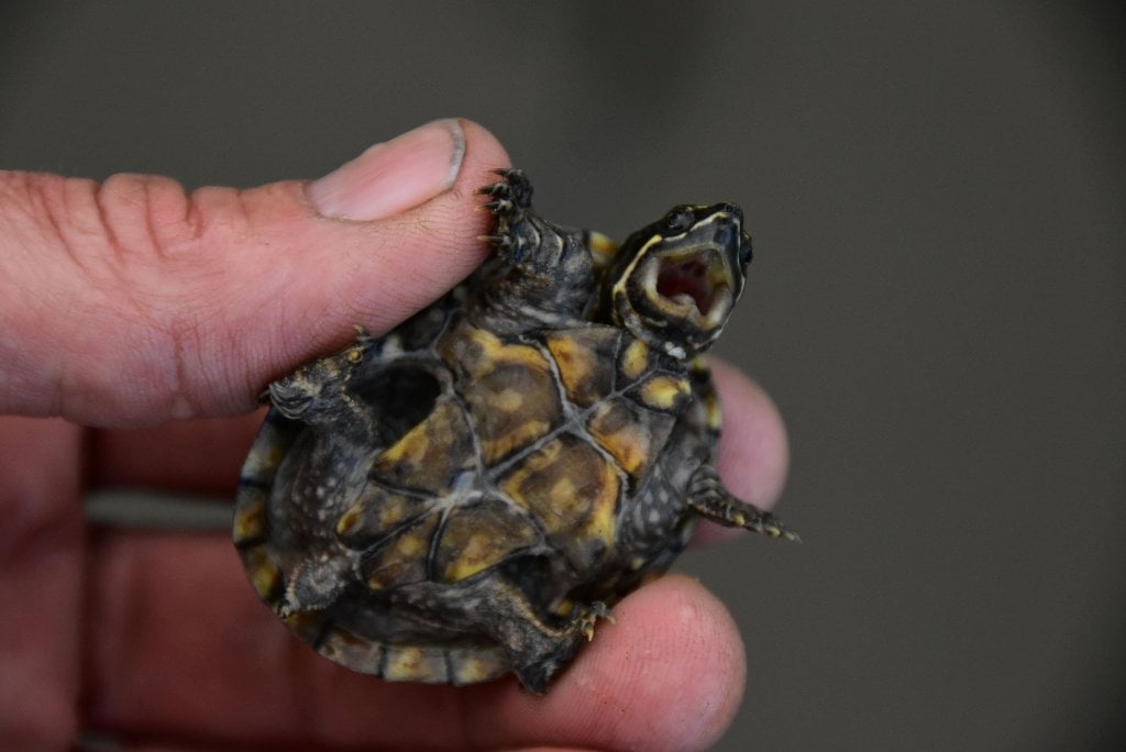
Surrounded by wetlands, marshes, and not far from the open waters of Breton Sound, Bohemia Beach thrives with wildlife, and not only birds and amphibians (we saw sliders, tree frogs and alligators) but also lots of mammals. During the 2015 Rivergator Exploratory Expedition we saw or found evidence of coyote, raccoon, armadillo, and wild pigs. Winged predators included marsh hawks, turkey vultures, black vultures, frigate birds, bald eagles and lots of osprey. Eagle sightings decline towards the Gulf and osprey sightings increase. This amount of wildlife alone would make the visit memorable. But wait, there is more to come! Bohemia is overflowing with shore birds and waders. We witnessed (and took great photographs of) terns, brown boobys, anhingas, great and lesser egrets, sandpipers, and the beautiful roseatte spoonbill. The ubiquitous blue heron is joined here by its relatives the yellow heron, green heron and night heron. The white pelicans we have been seeing up and down the Lower Mississippi are now joined by their brothers and sisters, the brown pelicans, the state bird of Louisiana. Several crustaceans also made themselves known: barnacles, crawdads, and river shrimp. In steamboat days river shrimp were common fare on the Mississippi River (but have almost disappeared in modern days due to over-fishing industrialization). Lastly from the mollusk family we found several different kinds of clams (rangia and others) and mussels (heelsplitter, zebra, and others).
44 LBD Mardi Gras Pass
Four miles to Law Bay. First of the many exits to the Gulf of Mexico. Good flow at all water levels. Superlative birding and wildlife viewing.
Mardi Gras Pass leads to Back Levee Canal and Bayou Law, quickest route to Gulf
Follow Bayou Law to reach
- Law Bay
- America Bay
- Bay Crabe
- Breton Sound
Back Levee Canal also leads to
- William Boyles Bayou
- John Bayou
- Spillway Bayou
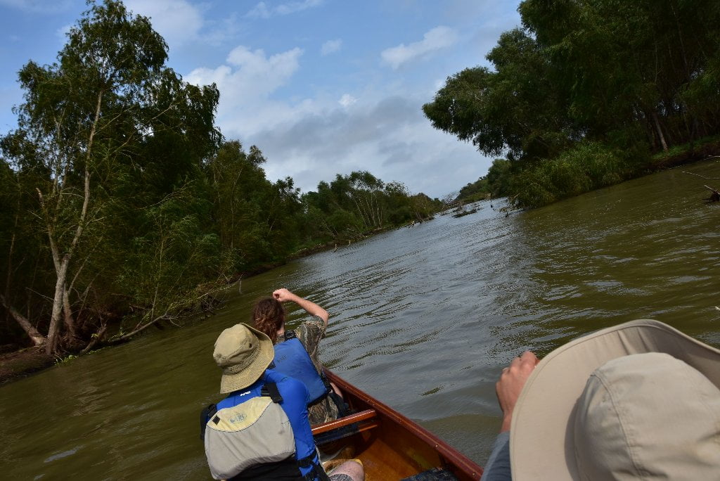
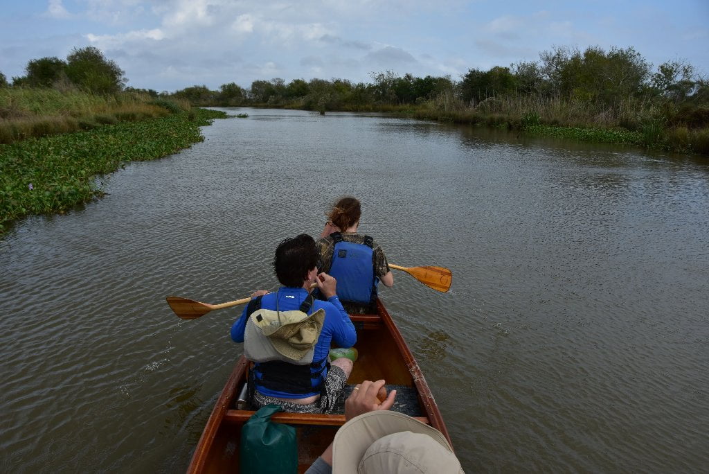
A gentle paddle down Mardi Gras Pass and into the Back Levee Canal and then down Law Bayou will bring you to endless grassy marshes (two miles from the main channel Mississippi). Paddle another two miles into Law Bay to reach the open waters of the ocean. Technically you will have followed the muddy Mississippi to the salty waters of the Gulf of Mexico. You could call your expedition complete and no one could second guess your decision. But this could also be a great side trip. Even if you are not ending your expedition here, this would make for a wonderful side trip to get an advance inspection of the extensive marshlands found on either side of the river from here on down. Another good reason for this side trip: for a close-up view of the wildlife you are not seeing while paddling down the middle of the big river! The final ridges of dry ground provide excellent habitat for wild pigs who roam freely and rule this landscape. Also thick with hornets and wasps. Be very wary around the few remaining trees for hornet and wasp nests.
How did Mardi Gras Pass get its Name?
Strange things happen on Mardi Gras day. People transform. Hair suddenly grows, turns blue or pink, and trumpets blare. Wild sides bust loose from places that we never knew existed. On a chilly Mardi Gras day in 2012, the Mississippi River was the one to bust loose and show its wild side. Pressure had been mounting at Bohemia Spillway, about 35 miles south of New Orleans, with months of overtopping from the record high waters of the 2011 flood. Across the banks, the water began scouring a channel across a road and through the wetlands beyond. The channel grew progressively deeper until the only thing that separated the river from the wetlands was a spit of willow-topped mud. Water pushed, and the mud grew more and more narrow, until the tiny divider sloughed off and joined the mud of the rest of the continent. It’s the first time in several decades that the Mississippi River has created a new distributary channel to the sea, according to advocates with the Lake Pontchartrain Basin Foundation.
Coastal advocates see Mardi Gras Pass, as it’s come to be known, as a natural way to reconnect the river to its estranged marshes. Since the dawn of our modern levee system in the 30’s, more and more salt water has crept into those marshes. It’s thrown off the delicate brackish balance, killed off vegetation, and carried off roughly 1900 square miles of Louisiana’s coast. That’s the size of the state of Delaware. Like most of Louisiana’s freshwater-starved wetlands, the wetlands area beyond Mardi Grass Pass, called Bohemia Spillway, needs the Mississippi River to stay alive. Scientists with the Lake Pontchartrain Basin Foundation had been monitoring the spillway for years, and they’ve already seen new shoals of land forming in the wetlands beyond the pass. They’ve called the break “exceptionally rare and highly valuable,” because, with the river all leveed-up, scientists almost never have the opportunity to document the river as its wild-flowing self. But even in this remote, unpopulated area of the Louisiana, humans have taken issue with a wild-flowing river. The Lake Ponchartrain Basin Foundation has had to fight to keep Mardis Gras Pass flowing. When the water washed away the bank, it also washed out a road, and the oil company that uses the road wants it back. Shortly after the crevasse formed, the company filed a permit to have it closed.
In addition, the State is wary of a rogue river channel that might keep growing and eventually alter the navigation routes or hinder flood control operations. They had already spent millions figuring out how to walk a thin line that balances our own needs and the needs of the river. After analyzing hydrological regimes, sediment transport capacities, salinity patterns, water level fluctuations, vegetation changes, fisheries impacts, and other variables, the master plan for the coast has settled on a strategic series of diversion structures that attempt to reestablish deltaic processes along the river. One such structure was planned for a place only miles from Mardi Gras Pass. Coastal Advocates argued the river had done for free what the state planned to do for $220,000,000. And eventually, the LPBF, the state’s coastal czar, and the oil company eventually found compromise, not so surprisingly, in a bridge. If all goes as planned, fresh river water will keep flowing beneath it.
In May, the National Oceanic and Atmospheric Administration’s (NOAA) coastal survey office announced that 31 place names in Plaquemines Parish, Louisiana, would be wiped from the map. Bigger bodies of water have washed away the strips of marshy land that once bounded these places, turning them into blobs of salt water, and NOAA will no longer publish the names on new surveys. They’re elegant, even romantic names like Bay Pomme d’Or and Bayou Auguste: gone to the archives. Gone, too, are the stories of how these places got their names. What beast was killed and how great a flock of birds were feeding on it for a place to get a name like Grand Bayou Carrion Crow? Mardi Gras Pass is different. In real time, we get to watch its name unfold before our eyes. Fishermen have made good use of the pass, and the name has caught on. (“Where yall headed?” “Back through Mardi Gras.”) And the Louisiana Department of Transportation and Development just announced it will propose “Mardis Gras Pass” to the US Board of Geographical Names as a new Louisiana Geographic Feature proposal. One name at a time, the coast can still grow. (Wolf E. Staudinger)


Leave A Comment
You must be logged in to post a comment.