The Lower Mississippi River Water Trail
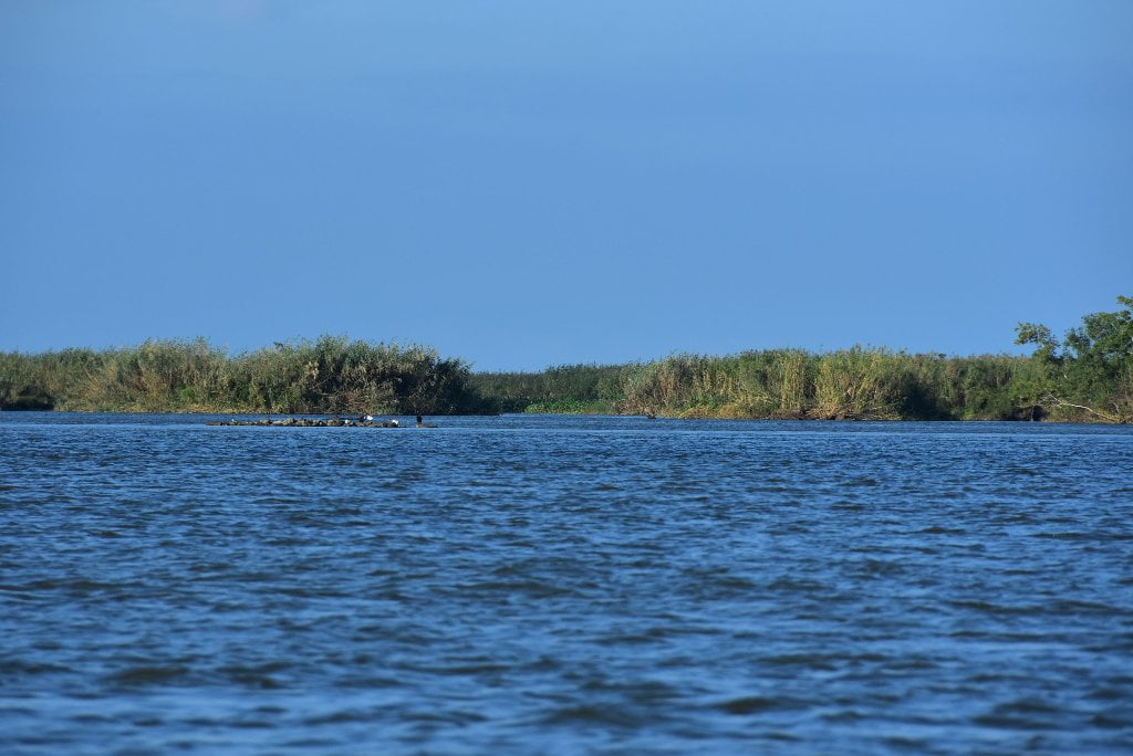
12.5 LBD Un-Named Pass
Hunting Lodge at mouth of this Un-Named Pass. 3-4 miles of paddling to reach Grand Bay via Alexis Bay with many shallow places to push through and maneuver around.
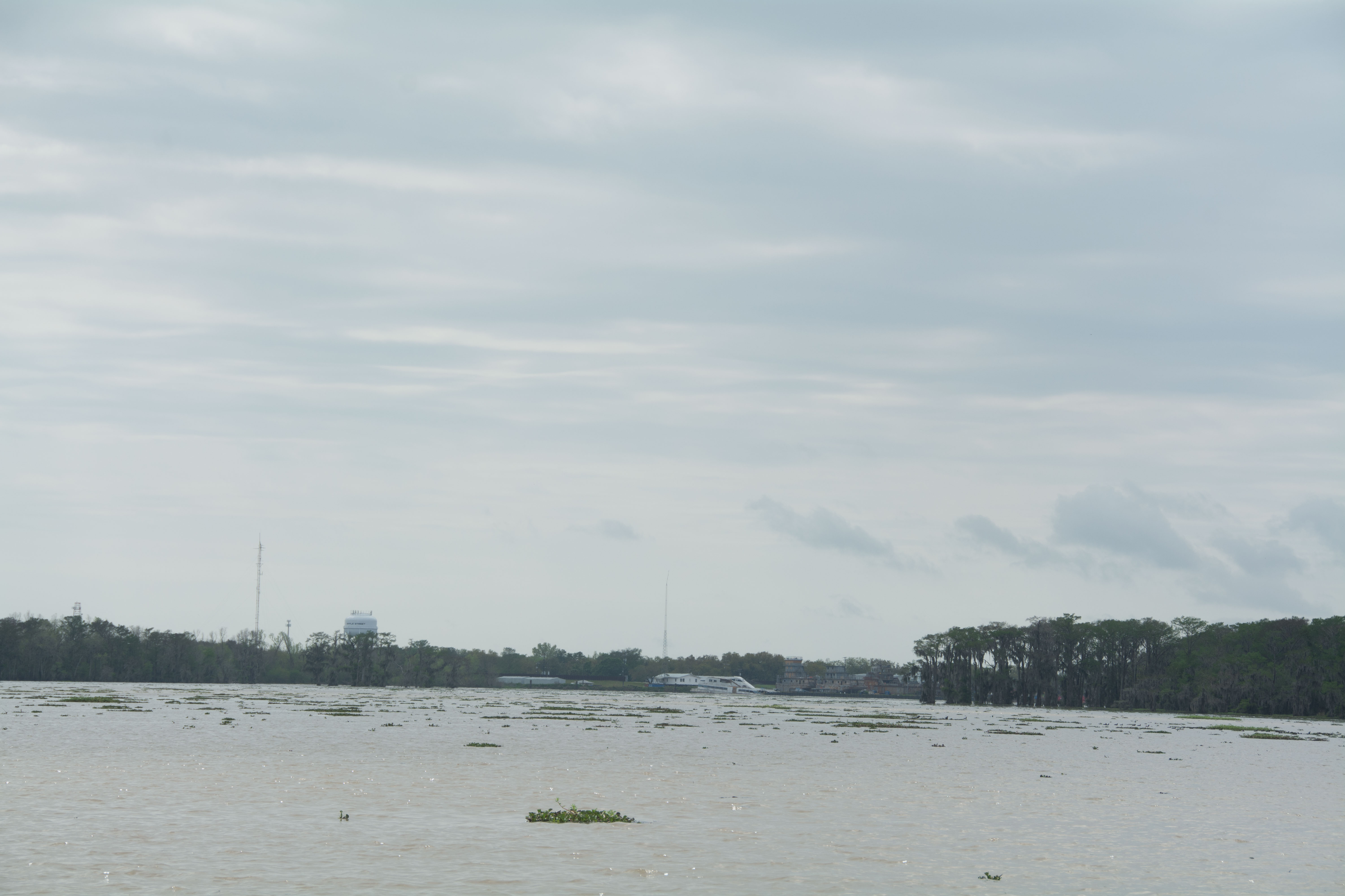
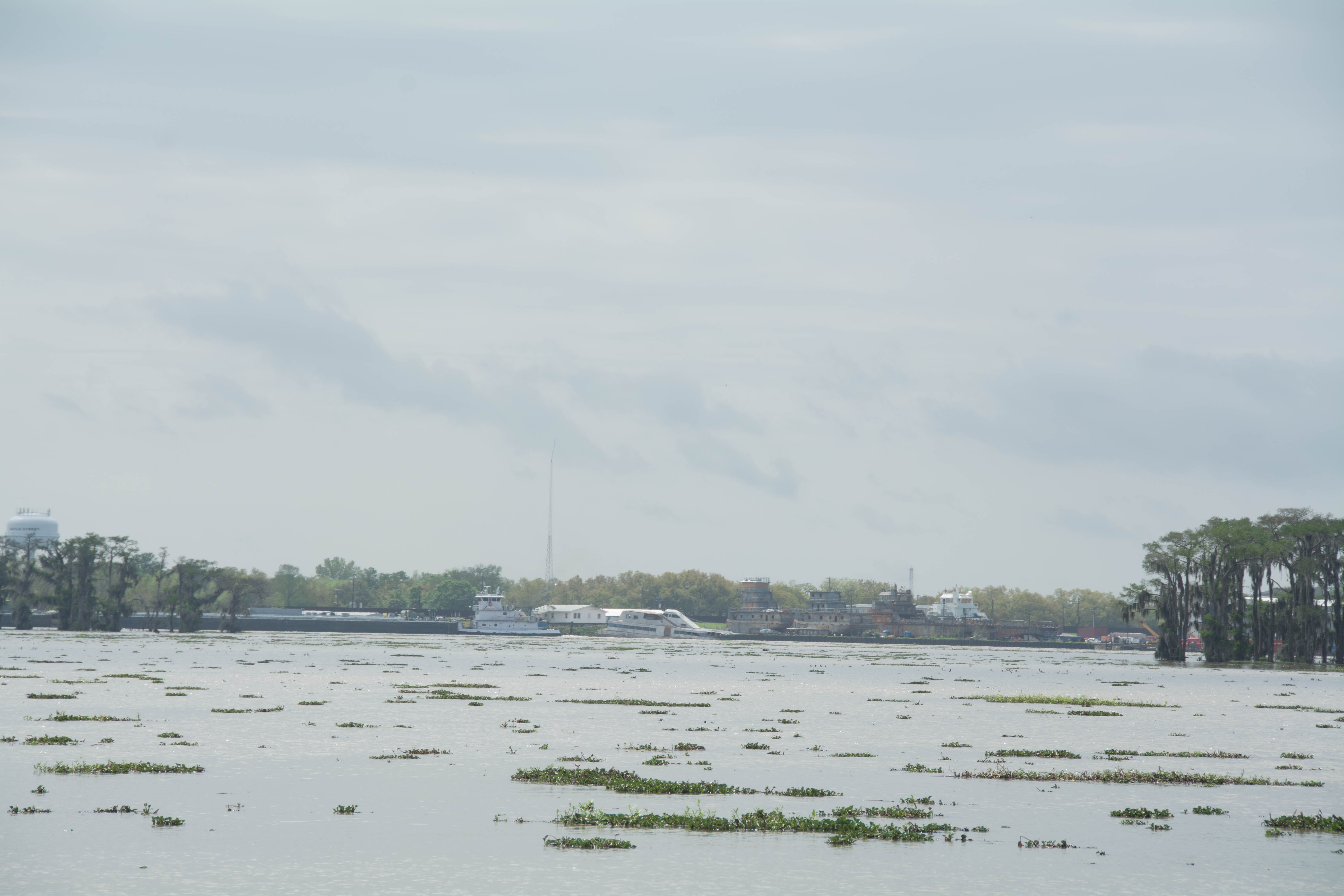
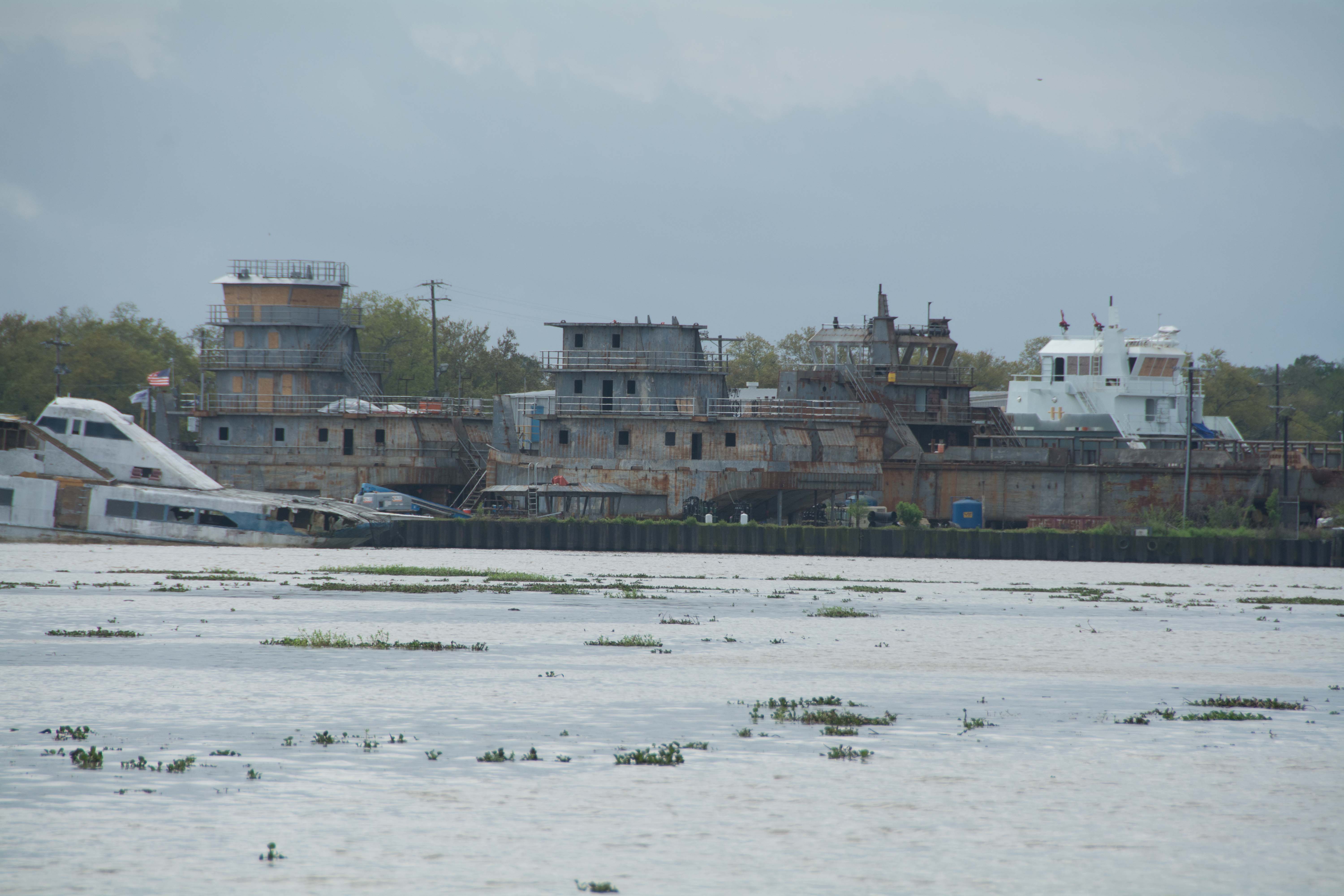
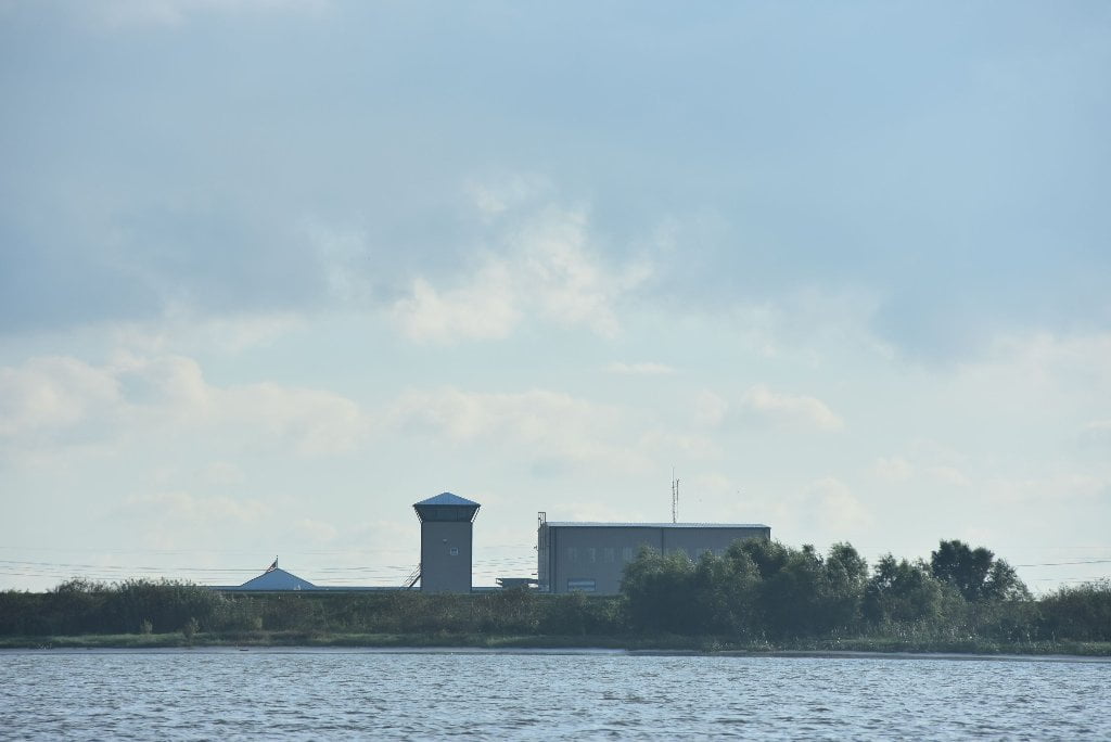
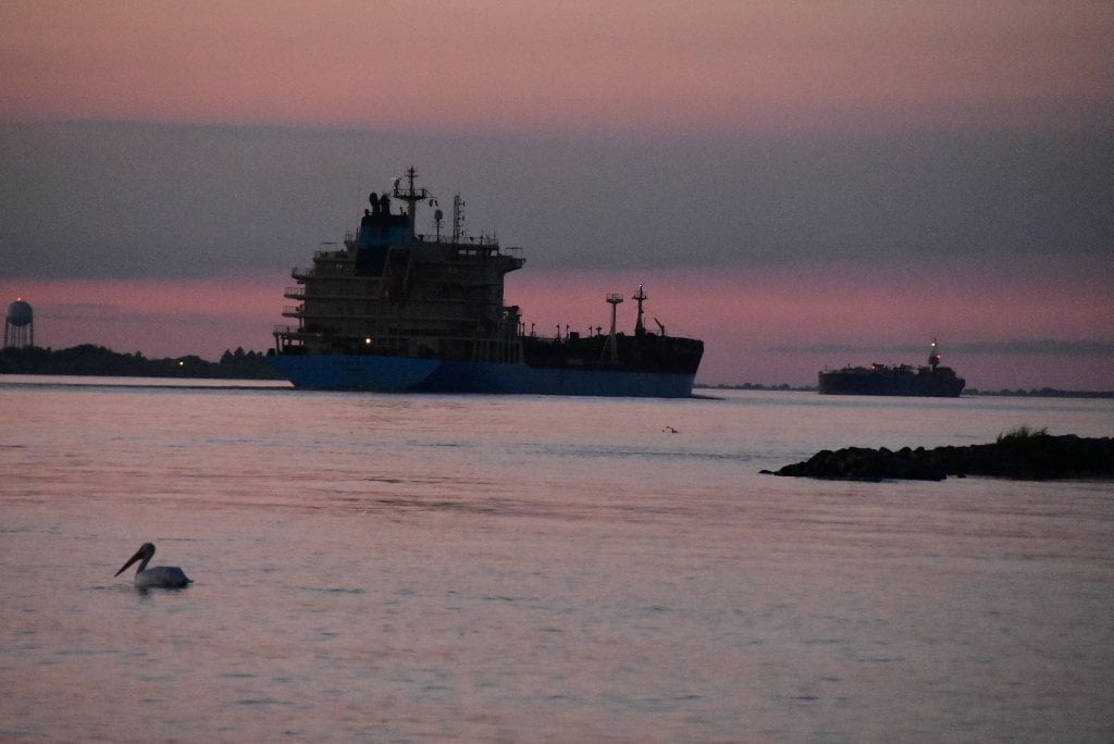
11.9 RBD Bar Pilot’s Association
The Associated Branch Pilots (Bar Pilots) for the Port of New Orleans is an association of professional pilots who guide ocean-going vessels of all sizes and descriptions from the Gulf of Mexico through the narrow channels of Southwest Pass and the Mississippi River Gulf Outlet. Vessels headed upriver are piloted by the Crescent Pilots and those headed down river are piloted by the Bar Pilots. Originally located at Pilottown, the Bar Pilots have moved up to this location for a more secure base of operations during inclement weather.
History of the Bar Pilots
In 1699, the first French explorers viewed the mouth of the Mississippi River from the sea. They saw a low lying land of reeds, swirling brown water, and mud lumps covered with debris that formed the “bar” of the great river. It is here that the first pilots of the Mississippi River would have to comprehend the ever changing depths, navigate ships from their small skiffs, endure living in the low lying marsh, and develop their knowledge of the passes that flowed from the river to the sea. Knowledge of the local conditions would be the one thing that the European powers would need to turn this wild, new land into an economic engine, the goods of which would travel in the wooden hulls of their ships. These hulls could not bring wealth to and from the settlements of the New World if they were stuck in black, oozing Mississippi River mud, and there was a lot of Mississippi mud on the river’s expansive “bar”.
France built a small settlement near the river’s bar on the low lying bank of the deepest pass; here the pilots would house themselves and tend to their navigation duties. They called it “La Balise” or the “Mark” for the tower that they built to help the ships find their way. Spanish rule continued the piloting tradition at Balise where the Chief Pilot Juan Ronquillo served for many years. Channel changes, poor living conditions, storms, river flooding and the ever present alligators, were just a few of the realities of life for Ronquillo and his fellow pilots. These realities the United States shouldered with the Louisiana Purchase in 1803. With statehood, Jackson’s victory over the British, and the new fangled invention of the “steamboat”, New Orleans was poised to take its place as one of the greatest ports in the world. Yet the entrances to the huge river that fed New Orleans had changed 4 times and were still only 18 feet deep. On this stage, stepped a man with vision, his name was James Eads. Eads would build a “Jetty” that would use the scouring effect of the river’s current, to push the mud out to sea. Soon after completion of the “Eads Jetties” the depth of water in South Pass was recorded to be 30 feet. New Orleans now had deep access to and from the sea, as well as the heartland of America.
During this time pilots at the mouth of the river continued to meet the challenges of life on the bar. Hurricanes forced the pilots to move their operation more than a few times. Pilots set up settlements on a particular “branch “ of the delta, and it is there they would sail out to find or “speak” a ship. Sailing in fast sleek craft, they would often race to get to a ship first. Once ships had been guided over the bar, the Captain released the pilot who sailed their ships on their own upriver, for the winds were usually favorable and the river wide and deep. State regulation of their boats, duties, and conduct were enacted and a Board formed to insure competency in selection of new pilots. Sail was giving way to steam and Ed’s jetties had made one pass of the delta deeper than the rest. In 1879, the pilots of the different “Branches” of the river formed themselves into the “ASSOCIATED BRANCH PILOTS”. Equipped with modern boats, the latest electronic navigation aids, and an expansive practical knowledge base, today’s Bar Pilot is still faced with dangers. These include, a risky transfer from boat to ship, or ship to boat via “Jacobs Ladder” in all weather, on larger vessels than Ronquillo could have ever imagined, all on one of the busiest waterways in the world. Today and every day, the Bar Pilots can be found at their stations, watching the horizon for ships to transit the perpetually changing bar. (From Bar Pilot website)
11.9 RBD Plains Marketing, L.P, Venice Terminal, Pier 1, 2, 3 Ship & Barge Docks
11.5 RBD Baptiste Collette Launch, LLC Wharf.
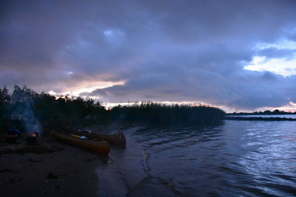
11.5 LBD Sandbar at Mouth of Baptiste Collette Bayou
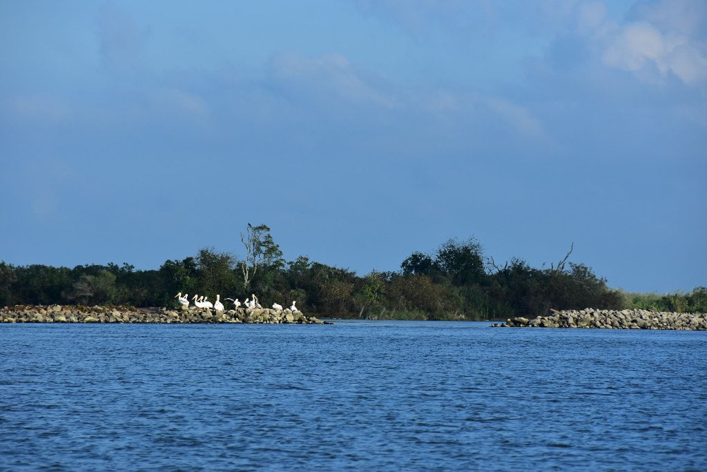
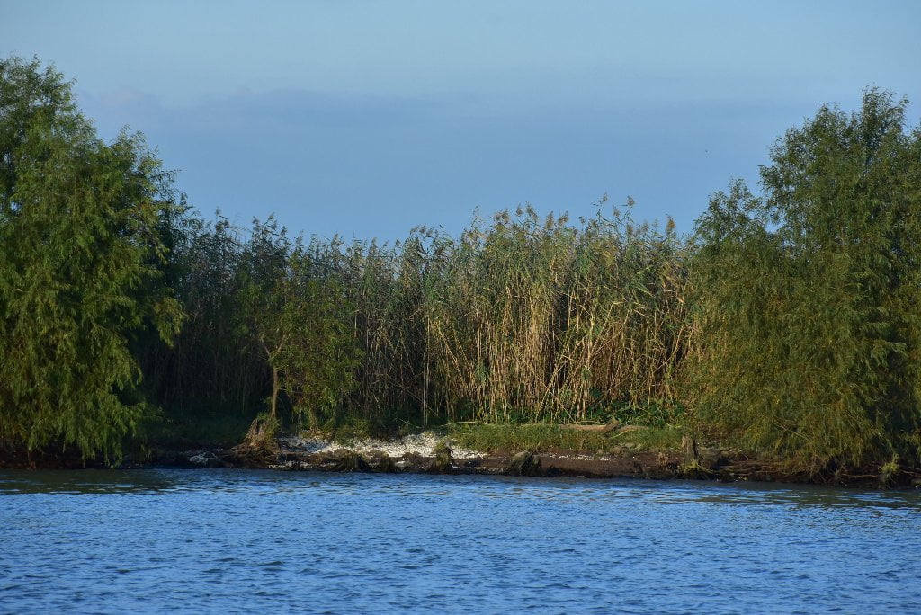
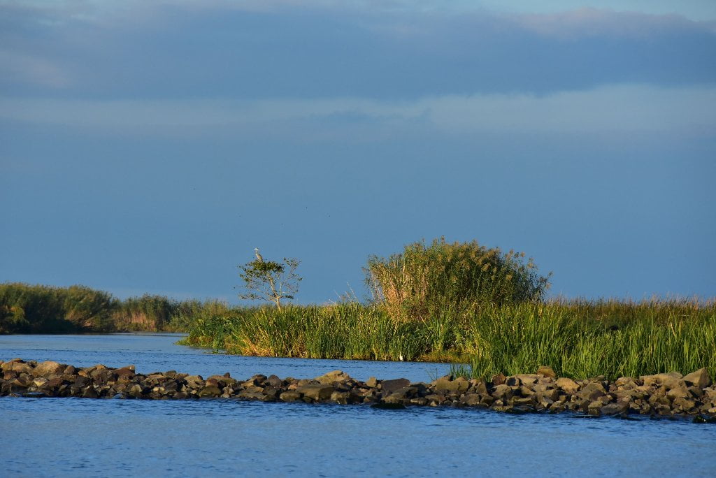
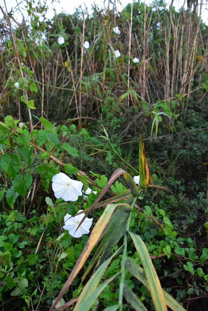
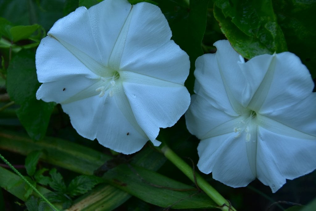
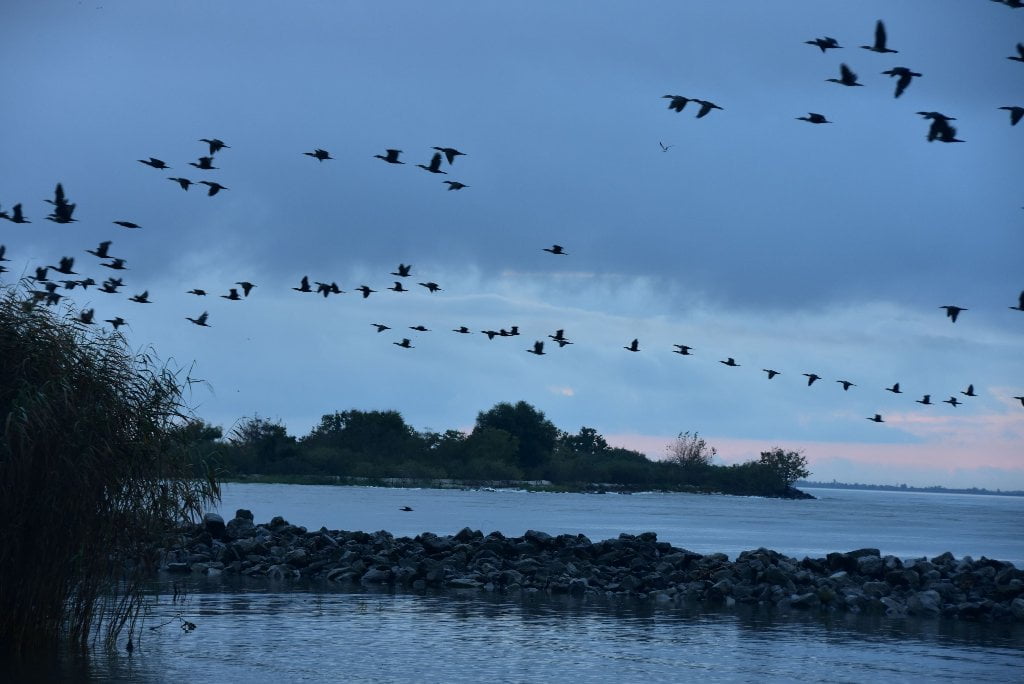
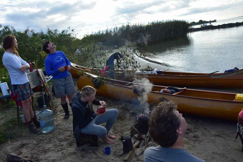
Several small sandbars form here at the mouth of Baptiste Collette Bayou LBD behind a protective wall of rock. Great campsite for small parties with easy access to Venice. Best camping close to Venice. Rock dike forms protective harbor around sandy dunes. Limited dry spots along inlet. Sand gives way to thorny briars, cane covered with moonflowers, and other thick shrubbery. Wild pig country, but also full of birds, and many rodents, including mice, rats and nutria.
11.5 LBD Baptiste Collette Bayou
(9 miles to reach Gulf of Mexico. Heavy traffic. Not recommended.)
- Fimbel Pass
- Emeline Pass
- Heavy Traffic
- Numerous Oil Derricks & Platforms
Everyone knows that the Mississippi River flows south to the Gulf of Mexico, right? Wrong! Not always, anyway. The Mississippi flows towards all points of the compass in its 2300 mile journey. Now, as if intent on dispelling this myth of the southerly flowing river, here at its first major pass it turns a 180 degree half donut spin back to the north, and spills its muddy guts northward into Breton Sound!
Baptiste Collette Bayou is your first big pass splintering off the Lower Mississippi River. You have been paddling past other passes and canals leading to the ocean, but none this big, and none with this size of traffic. Baptiste Collette is heavily used by crew ships and supply vessels for the hundreds of derricks and oil platforms scattered through this part of Breton Sound. Watch for fast moving vessels with sleek prows carving the water, and big waves following. They normally slow down for smaller craft, but they don’t always see you. BTW: great camp sites possible on either side of the entrance to Baptiste Collette.
If you are comfortable with waves and heavy traffic you could paddle 9 miles down Baptiste Collette Bayou to reach the open waters of Breton Sound. There are many beaches towards the end of Baptiste Collette, but they are difficult to get to. We do not recommend ending your trip here. But if you insist, your best plan would be to go to Google Earth and closely inspect route first for best navgation and turnaround place.


Leave A Comment
You must be logged in to post a comment.