The Lower Mississippi River Water Trail
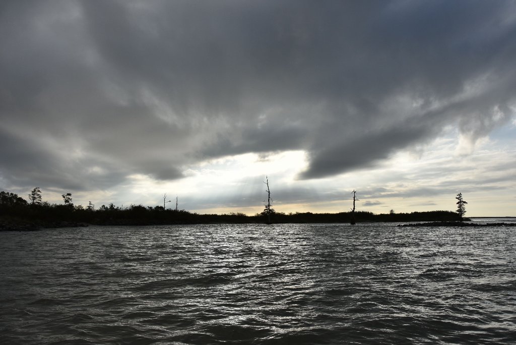
10.2 RBD Grand Pass Island
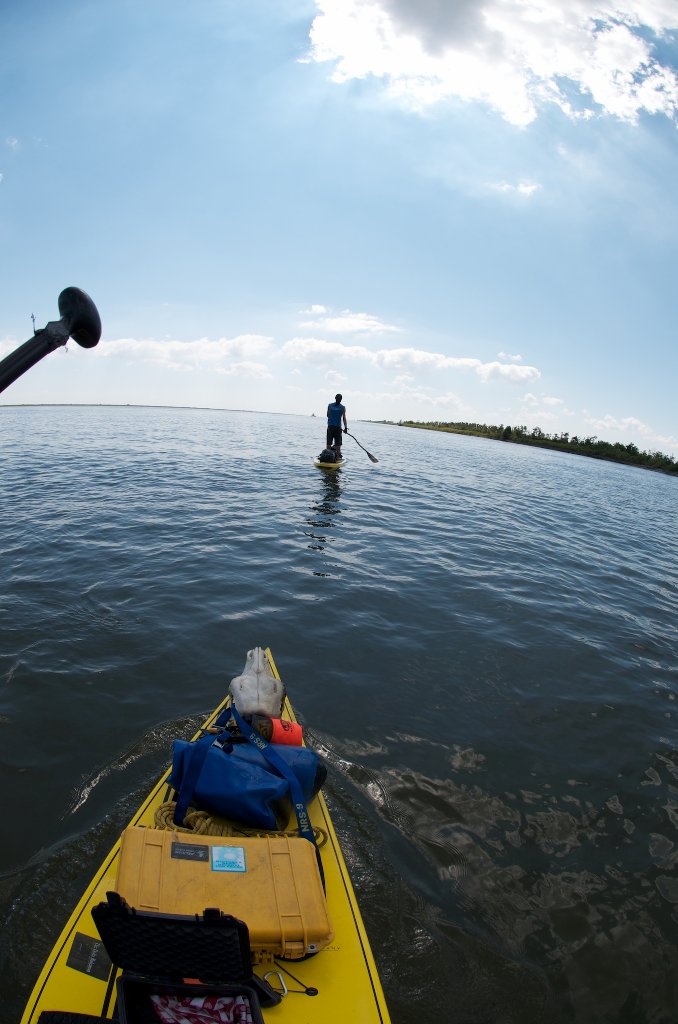
The highest ground in the area, Grand Pass Island used to be a favorable place for paddlers to make landings for stretching their legs, for picnicking, even for camping. You should still stop here if you need a camp place in high water (above 3VG). There is nothing higher below this point. Following the ravages of the 2011 flood, Grand Pass Island was encircled with rip rap and long stretches of caged rock, making landings very difficult, especially during low water. As result this island has lost some of its appeal as a refuge. You can still make landings, and climb over the rip-rap to find a mostly wild island behind. But you will have to portage your vessel and all your gear for any stops of length. Excepting in high water, or the last light of the day, or emergencies, you will probably want to paddle further on to find an easier landing.
10.2 to 9.8 RBD WARNING: Iron Pilings in River
Paddlers beware! Dangerous iron pilings or other iron works are found along the main channel top end of Grand Pass Island. This should be no threat to downstream paddlers. But if you are paddling back upstream to Venice you might find yourself hugging the shoreline towards the top end of Grand Pass Island and in danger of severe consequences. Be very careful about not inadvertently running over one of these pilings with sharp rusty edges. They would easily cut a hole through most vessels.
9.6 – 8 LBD Lower Venice Anchorage
Active anchorage with lots of activity for vessels conducting business in the Venice area. You are safe to paddle through this anchorage if no tugboats are visible, and there is no apparent plans for movement of freighters.
6.9 RBD Un-Named Pass
6.7 – 1.5 Pilottown Anchorage
6.6 RBD Un-Named Pass
6.5 LBD Leon’s Pass
4.9 LBD Mary Bower’s Pass
Mary Bower’s Pass leads to Mary Bower’s Pond, Clearwater Bayou, and the open waters of Breton Sound.
4.8 RBD New Pass
A new Pass opened in 2011 West Bank RBD mile 5 with a beautiful sandy bar and nearby cypress trees (south side of the entrance). Strong flow at all water levels, but of course stronger at high water. Ride the current as it swirls into this opening and pick your route for landing (or continuing into West Bay).
4.8 RBD New Pass Cypress Beach
On the south side of New Pass paddlers will find a good location for low and medium water camping. Follow swirling waters through New Pass and paddle hard around eddy to make landing. Possible camping on beautiful sandy beach with several cypress trees behind. Possible camping when the river is below 2VG. Questionable above 3VG.
3.6 RBD Un-Named Pass
3.5 LBD Old Quarantine Station
3.5 – 2.9 LBD Cubit’s Gap
Many enticing routes are possible for paddlers through Cubit’s Gap, with beautiful cane-lined passes and other waterways ending in pristine ocean beaches. But many routes also dead end in muddy ponds, and you could easily get lost by the myriad choices within 49,000 acres of marsh! Cubit’s Gap creates a yawning opening for muddy water to flow into a giant pooling area where the muddy water reforms and splits around 3 islands into 4 openings: Main Pass, Octave Pass, Brant Bayou, and Raphael Pass, all within Delta National Wildlife Refuge. All of these proceed to the Gulf, with splinter passes and bayous all of their own leading off, some of which are listed below. Paddlers could follow any of these to the Gulf, with beautiful long passages through wild places, and very little traffic.
Cubit’s Gap/Main Pass Camp
A wooded high ground is found in Cubit’s Gap at the mouth of Main Pass 3.7LBD with a protected anchorage (in low flow) and good natural ground landings for canoes, kayaks and paddleboards. This site can be identified from the distance by a high lookout tower that was once used at the Old Quarantine Station. More detail in River Log.


Leave A Comment
You must be logged in to post a comment.