The Lower Mississippi River Water Trail
Rivergator:
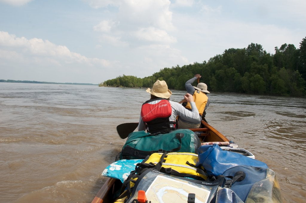
Caruthersville to Memphis
MM 850 – 737
© 2013 John Ruskey
For the Rivergator: Lower Mississippi River Water Trail
The www.rivergator.org is a free public use website
presented by the Lower Mississippi River Foundation.
Re-printing of text and photos by permission only with proper credits.
Intro: Caruthersville to Memphis:
Welcome to the 2013 update to the Rivergator: Paddlers Guide to the Lower Mississippi River!
This section covers the 113 miles of the big river from the paddler-friendly town of Caruthersville, Missouri to the thriving metropolis of Memphis Tennessee, the largest city south of St. Louis. Along the way you’ll paddle over mud that’s over 6,000 feet deep and an entire loess bluff caving into the river. You’ll see towboats and fishermen and a few crusty river towns like Osceola and Randolph. You’ll camp on beaches the size and feel of Caribbean beaches, and paddle through narrow chutes with lush overhanging willows and cottonwoods. You’ll be hemmed in by revetment and dikes in one place, and then released into long sections of the main channel with no levee — where the floodplain forest/wetlands are still connected directly to the river, creating an incredibly vibrant ecosystem of bayous, sluices, chutes, pools, and back channels overflowing with wildlife. In some places you might think you’re in the Amazon jungle for all the mud and trees, in other places you might be overwhelmed by the large agricultural landscapes, or by a couple of sprawling steel plants. In one special location you’ll think you’ve discovered a land of the lost where the Mississippi River meets Utah (at the base of the startling candy-colored ridges and buttes of the 2nd Chickasaw Bluff).
Geography:
The river here rolls out of the Missouri Bootheel and into the wild floodplain below between Tennessee and Arkansas, it’s so wild that no levees are needed for 60 miles along the left bank side of the river from Moss Island to Memphis! This section is full of tributary rivers with deep woody bottoms, strange colorful mud slides, and dozens of islands and back channels to explore, many protected within wildlife refuges and state parks. There is some heavy industry along the way, a couple of noisy steel plants and a giant power plant (below Osceola), and some busy grain docks and two harbors — none of which you’ll want to camp near. Nevertheless your hard paddling will be rewarded again and again with fabulous views of the Chickasaw Bluffs along the Western edge of the state of Tennessee and adjacent bottomland hardwood forests, including the colossal cliff-bluffs at Fort Pillow (1st Chickasaw Bluff), the astounding colorful chalky glacier of mud above Richardson’s Landing (2nd Chickasaw Bluff), Meeman-Shelby State Forest (3rd Chickasaw Bluff) and finally the sweeping view of the Memphis skyline, including the Memphis Bridge and the Pyramid, and downtown Memphis (which straddles the 4th Chickasaw Bluff). The vista from the river is unparalleled! Points of interest include Obion RIver, Moss Island Wildlife Management Area, Nucor Yamamato Steel, Island 30/Osceola Back Channel, Hatchie River Bottoms, Meeman-Shelby Forest State Park, Hickman Bar, Loosahatchie and Wolf Rivers, the elegant “M” Bridge and finally the eye-popping view of skyscrapers over the Beale Street Harbor and Landing. The vista from the river is unparalleled! You’ve never seen downtown Memphis if you haven’t viewed it from the river!


Leave A Comment
You must be logged in to post a comment.