The Lower Mississippi River Water Trail
Big Trees and Floodplain:
The lower Mississippi River Valley was historically a vast expanse of bottomland and adjacent upland hardwood forests with scattered openings primarily created by fire, beaver, or large flood events by the Mississippi River and its tributaries. These openings were generally comprised of herbaceous moist-soil areas that created excellent waterfowl and other wetland wildlife habitat or giant switchcane that was almost impenetrable and an extremely important habitat component for a variety of wildlife species. Once covering 22 million acres in the Mississippi River Alluvial Plain, bottomland hardwood forests have decreased in extent to only 4.9 million acres. Extensive clearing for agriculture (i.e. soybeans, corn, or cotton) and urbanization are two of the primary reasons giant bald cypress and oak trees of pre-settlement times no longer exist. However, giant bald cypress and oak trees characteristic of yesteryear can still be seen on some of these sections of the Lower Mississippi.
Important Note to Paddlers:
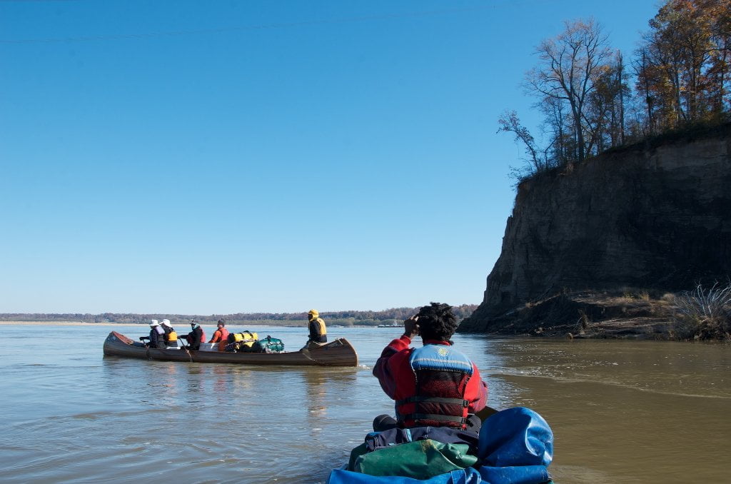
The Lower Mississippi is not for beginners, although there a couple of places beginners can get a taste of its waters (such as Everett Lake, the Mud Island Memphis Harbor and the Caruthersville Harbor — and other protected flat water places connected to the big river — see page “Beginner Paddlers on the Lower Mississippi River”). Advance paddlers only in the main channel. You should be capable of self-rescue, and you should have previous big river experience, in specific: large volume waters with long crossings and industrial traffic (towboats). Your skills should include self-rescue, long ferry-crossings, paddling in the wind, paddling in the vicinity of towboats, paddling through violent boils, violent eddies, and large whirlpools. Ultimately you must decide whether you are capable of safely paddling the big river, and whether you are capable of leading your family or friends on the same. Be cautious. Take your time. Swallow your ambition and pride. Impatience has been the root cause of most problems encountered by Lower Mississippi River paddlers. Enjoy the moment, not the destination. Turn around if you aren’t sure or aren’t prepared. Use the Rivergator Safety section to asses specific skills and recommendations. Check the river levels and weather forecast with special attention to wind speed and direction. Carry extra food, water, and all-weather protection. Wear wetsuit or drysuit in cold water seasons (November though April). Carry cell phone and VHF Marine radio. Carry an extra paddle and leave a route plan with someone on shore. Large groups can notify the Coast Guard who will keep the towboat pilots informed of your progress.
Memphis Big City Considerations:
A little teaser… Some hundred miles downstream… your imagination will be arrested by a unique vision… a distinct mirror-faced Pyramid rising out of the trees above the face of the river… Are you delusional after paddling all day with no food or water? Is this an Egyptian hallucination? A mirage flashback from Langston Hughes’ “I have known rivers, ancient dusky rivers?” No, this is Memphis’ famous landmark, the shiny steel and glass Pyramid. As you approach closer the complicated monotone geometry of downtown Memphis thickens the horizon behind… This vision alone will reward you for any trails you have undertaken in paddling the Mississippi River this far!
Memphis is the largest population on the last 1,200 miles of the Mississippi River. Long distance paddlers, if you’ve already canoed or kayaked through metropolitan St. Louis you know what to expect. For those who haven’t paddled through a big city, get ready for some challenges. Along the fast waters of the Memphis riverfront you’ll encounter the Memphis Queen Paddle Boat, Tennessee Wildlife Resource Agency Rangers, Coast Guard vessels and work boats, local tows, resupply tows, crew boats, Army Corps vessels, and of course recreational boaters and the omnipresent big tows going long distance. You have four bridges to navigate under, the iconic “M” Bridge first and not far downstream the lower three bridges all huddled together below the South Bluff made famous in the Chuck Berry song “Long Distance Information.” Anytime there is a bridge to maneuver under, tow pilots get edgy and things can go bad quick. Real quick. Strap all gear down and keep your life jacket on. Monitor VHF Channel 13 if you have a marine radio. Remember, the safest place around a towboat is behind a towboat!

Leave A Comment
You must be logged in to post a comment.