The Lower Mississippi River Water Trail
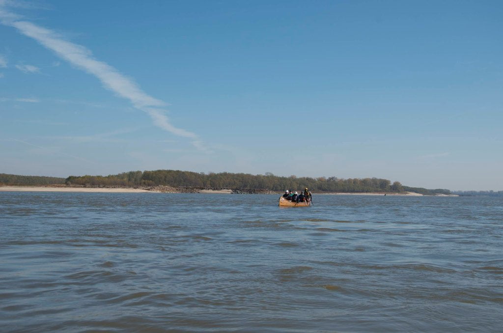
The infinite mystery of the sky is matched by the infinite depths of the river. It seemed as if the river had let me live one more day for a reason. Over the years I have come to see that the river is a similar to a beautiful woman. She seeks attention. She withers under neglect. And she thrives with good quality attention. Especially the kind that paddlers can give. How do I know this? Simply because every time I go paddling on her waters I am rewarded in some way. It might be with an amazing animal encounter, an osprey plucking a fish out of a muddy back channel or a coyote swimming to an island, or it might be an enthralling experience such as paddling through a thunderstorm, or it might be simply a vision of cracked mud forming some incredible patterns in a mid-island depression around footsteps left by deer and wild hogs and turtles. Every time I go out, even if it’s every day of the week, I return home with some new knowledge, or vision, or artifact. The river has become my teacher and I her student. Her ever-changing landscape is also my playground and my church. For this dynamic floodplain to survive she needs taking care of. She takes care of us. Can’t we do the same for her? Shouldn’t we do the same? Paddlers tend to be more caring, more thoughtful, and more appreciative of the river than others. Fishermen for instance often trash out their fishing sites. I find this incomprehensible. Paddlers commonly pick up trash and quietly remove all evidence of their passage. You could say that everything I do is simply a mirror to help reflect and magnify the great beauty of the wetlands and the great power of the big muddy river. The beauty is inspirational. The power is humbling. Both factors work together and create one of the most rewarding natural landscapes found anywhere. And it’s right here. That’s the amazing part. Right here in the gut of America. She literally defines the center of our country. She forms the borders of all the states along her path, the only exception being her birth state Minnesota and her end state Louisiana. And here along the Lower Mississippi her floodplain literally created the landscape that we call the Delta when it deposited layer after muddy layer of alluvium that became arguably the richest soil in the world.
The Coast Guard rescued us and then quickly ridded themselves of us. I remember entertaining the thoughts of a hot shower and nice dry bunks at their Memphis base. But after a short debriefing the captain in charge instructed one of the rookies who plucked us off Cat Island to drive us to the Baptist Mission. Poor guy, he had wanted to leave us in the lilly white Germantown Baptist Church, which of course doesn’t have any mission. We spent several tedious hours looking for the address we had passed in downtown Memphis just a few blocks from the river. He was embarrassed when he realized the mistake. It was right there in the neighborhood of the county jail and bail-bondsmen. It was full of winos and druggies and vagabonds and lunatics and us. We went from being river refugees to homeless refugees at the Poplar Street Mission. Neither of us wanted to frighten our parents so we buckled down like men and sustained our fates. We were allowed hot showers, and good food, with a healthy dose of preaching of course, and after dark we whispered to each other under the blankets and tried to re-piece our lives. After several days in Memphis we hitch-hiked to New Orleans and began new lives anew as rivermen on board the Mississippi Queen Steamboat, thereby ending one river life and beginning another.
For years afterward I had recurring nightmares of overturning boats and going underwater. My psyche played out this drama over and over, and slowly I realigned my life with the river. Ten years later, in the mid-90s I happily forwarded a photo and caption from the Memphis Commercial Appeal to Sean, who was then living in Miami. It was a cathartic mailing. The news was that a TVA tower had been dropped with a whitewater crash into the Mississippi River south of Memphis. It had been removed as a “hazard to navigation.” I could now breathe a huge sigh of relief. The tower was gone, and we were still present. I still experience a feeling of apprehension every time I paddle downstream out of Memphis and around President’s Island. And periodically I still have crashing boat water nightmares. But my daily existence has been repeatedly realigned by the big river and that raft trip.


Leave A Comment
You must be logged in to post a comment.