The Lower Mississippi River Water Trail
Southwest Pass
(20.2 Miles to the open waters of the Gulf of Mexico. Not recommended for paddlers. South Pass or Pass a Loutre are better choices.)
- Burrwood Bayou
- Pogo Producing Co (Last Refinery on Lower Miss)
- Southwest Pass Bar Pilot’s Standby Station
- Southwest Pass Lighthouse
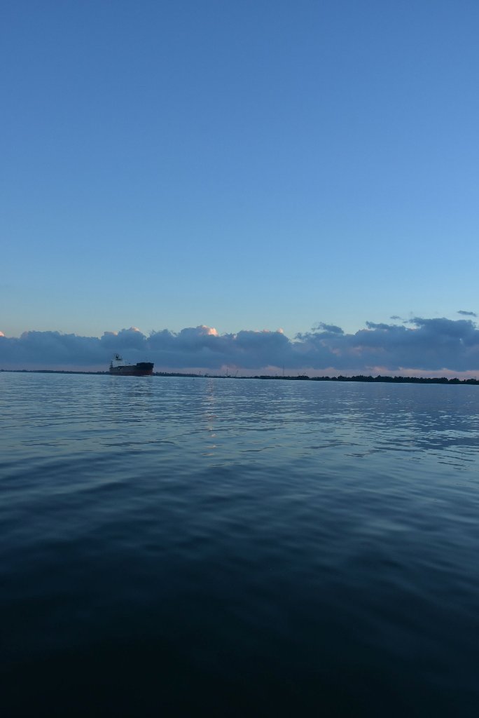
Southwest Pass captures the most flow at Head of Passes Mile -0-, but is also crowded with freighters and is therefore the most dangerous of all the passes. It has been the navigation route of choice for sea-going vessels since 1853. The SW Pass is not recommended for paddlers unless you are craving some more harrowing adventures before your journey’s end! It does have the advantage of following the main channel to its ultimate conclusion. But be forewarned: all of the freighter and ocean-going traffic you have been sharing the river with now continues to open ocean waters, but with half of the river width to maneuver in! You will be closer to waves and passing freighters. Also traffic also speeds up as it leaves the confinement of docking and wharfing areas. If you had trouble making landings in waves beforehand, it will get worse down the SW Pass. Lastly, the Southwest Pass has numerous wing dams that extend far out into the pass that can pose a danger to paddlers and force them closer in to the big ships. The Southwest Pass features the last refinery on the Lower Miss, the Bar Pilot’s Standby Station, and the Southwest Pass Lighthouse. There is one piece of good news, though, if you do decide to take the SW Pass: you can avoid much of the upstream paddling by jumping off channel into Burrwood Bayou, which parallels the main channel on the East Bank (LBD). Just because you’re in the Delta doesn’t mean you’ve left cables and pipelines behind: you will paddle over unseen South Central Bell Telephone and Telegraph cables, as well as petroleum pipelines laid by Shell Oil, Texaco, Tennessee Gas Transmission, Chevron, Southern Natural Gas, and Texas Pipeline companies.
River Levels Down SW Pass
Use the Rivergages.com website for water levels and flows down the Southwest Pass, and to get an idea of recent tides. This Gage is located 7.5 miles down the SW Pass. On this page you can request of plot of water levels from the past 7 days to get a visual idea of the patterns exhibited by recent tides:
http://rivergages.mvr.usace.army.mil/WaterControl/stationinfo2?sid=01575&fid=&dt=S
-4.5 LBD Burrwood Bayou (Top Entrance)
Alternate route to end of SW Pass, but very little flow. For best water speed stay main channel to the end of the SW Pass. On the way back detour through Burrwood Bayou for easy return paddling. See below for bottom entrance.
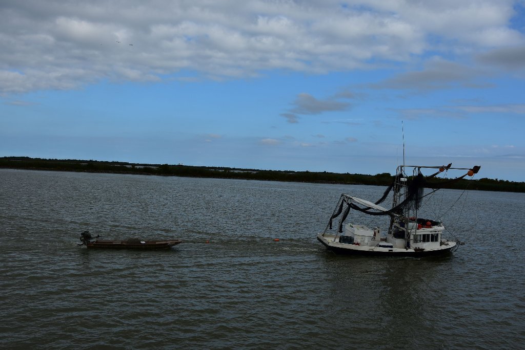
-4.8 RBD Pogo Producing Co., W-1 Boat Landing (a.k.a. Scott’s Landing)
-6.2 LBD Weber Marine, Sunshine Bridge Dry Bulk Transfer and Moorings
-7.6 LBD Energy Partners, Southwest Pass Wharf
-8.9 LBD Pogo Producing Co., E-3 Boat Landing
Pogo is the very last refinery on the Lower Mississippi River! If you are taking this route, you can now firmly leave all big refineries behind. On the other hand, you will still see many pipelines, derricks, oil platforms, and smaller petroleum operations. PXP Producing Company LLC, together with its subsidiaries, provides exploration, development, acquisition, and production of oil and gas properties in the United States, Vietnam, and New Zealand. The company owns approximately 1,900,000 gross leasehold acres in major oil and gas provinces in the United States; 6,354,000 acres in New Zealand; and 1,480,000 acres in Vietnam. The company was formerly known as Pogo Producing Company LLC and changed its name to PXP Producing Company LLC in October 2012. The company was founded in 1970 and is based in Houston, Texas. As of November 6, 2007, PXP Producing Company LLC operates as a subsidiary of Plains Exploration & Production Company.
-14.5 LBD Burrwood Bayou (Bottom Entrance)
On your return paddle back up the SW Pass you might want to jump into Burrwood Bayou for calm waters and very little flow. Off-channel route brings you 10 miles up the SW Pass where you will have to return to Main Channel at -4.5 LBD. The SW Pass Mississippi River tried to abandon its course and find a new opening to the nearby Gulf waters, as it is always trying to do
-14.5 RBD Dredge Piles
Opposite Burrwood Bayou some humongous piles of dredge material spill out over the right bank descending bank, several hundred acres in size.
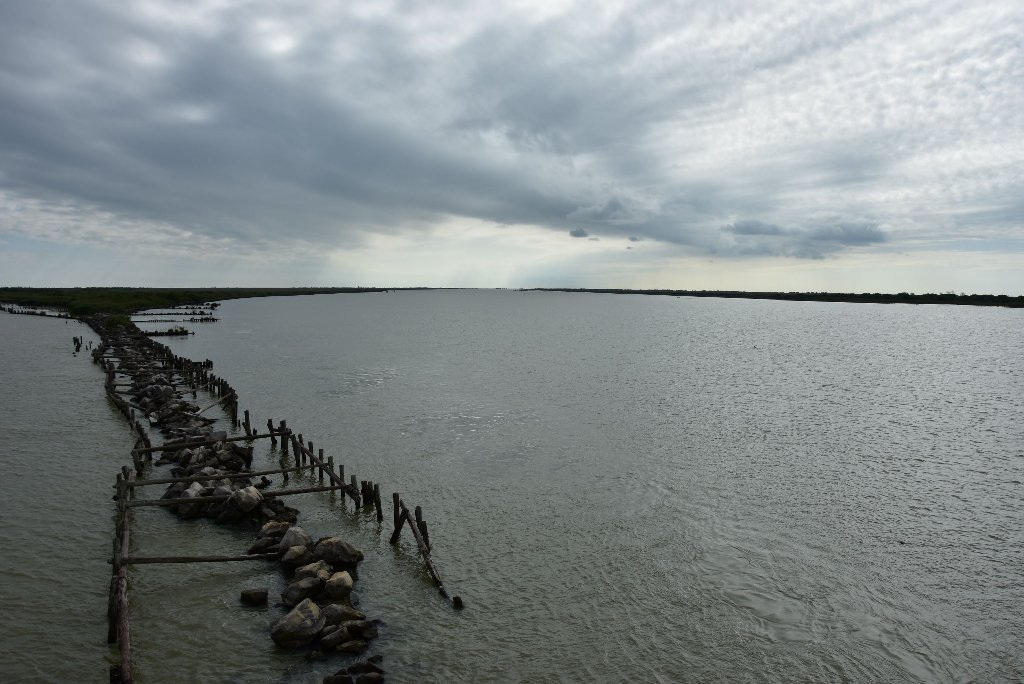
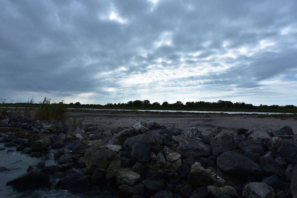
-14.5 LBD Burrwood Bayou Closure
Burrwood Bayou Closure was constructed to stop this migration from occurring. But this could be a viable route to reach the ocean and celebrate the end of your expedition. To access the open waters beyond Burrwood Bayou Closure, simply paddle through a notch in the center of the long rock dike.
-18.0 LBD Associated Branch Pilots, Southwest Pass Station Wharf
After the Deepwater Horizon disaster, the branch pilots and the U.S. Coast Guard established two decontamination stations to remove oil from vessels headed from the Gulf to the Mississippi River, and one of them was here at this strategic location.
-20.1 LBD Southwest Pass Lighthouse


Leave A Comment
You must be logged in to post a comment.