The Lower Mississippi River Water Trail
-11.8 LBD Bayou Opening (to Backside of Upper South Pass Island)
If the wind is blowing hard out of the south or southwest and you don’t want to go out all of the way into the open water and chance the big waves, you can cut through this opening left bank descending at -11.8 BHP to access a bayou through an opening that leads to the large estuary found on the backside of Upper South Pass Island. From the backside of this mile long sandy spit you will be protected from any southerly or westerly winds.
-12.1 LBD Tiny Bayou Opening
A narrow and short bayou can be followed (at high tide or higher water levels) for easy access to Upper South Pass Island on the ocean side.
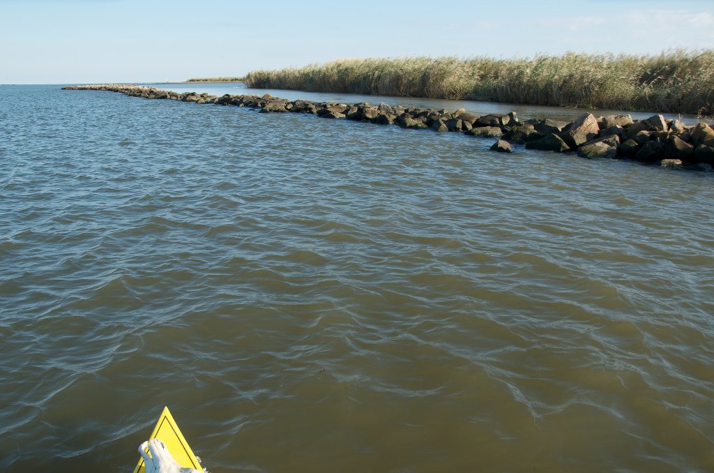
-12.2 LBD Opening in Jetty along Ocean Side of Upper South Pass Island
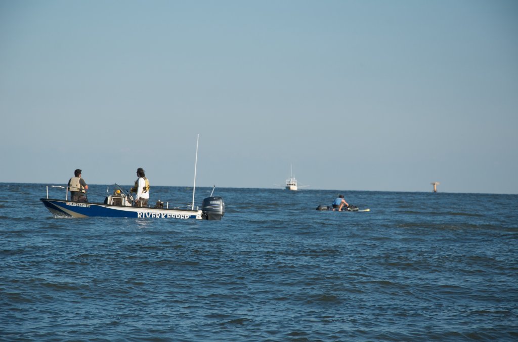
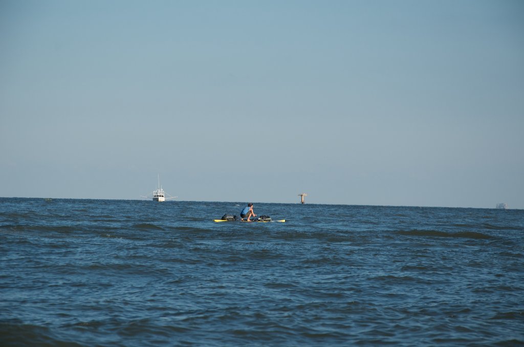
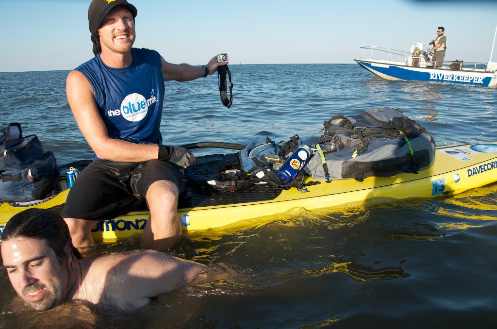
There is a low point in the East Jetty which creates your first possible opening to the open waters of the Gulf on the South Pass route — and easy access to the ocean side of Upper South Pass Island comes LBD at -12.2 BHP. Paddle along coastline until you find a good beach to make your final stop and turnaround. Shallow landings only along this beach. Not good approach in south or easterly winds. Highest points along this island are found furthest out the spit. Enjoy the feeling of paddling the salty waves of the Gulf of Mexico!
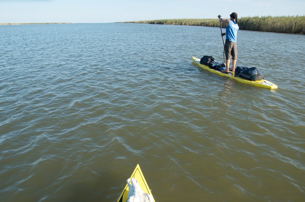
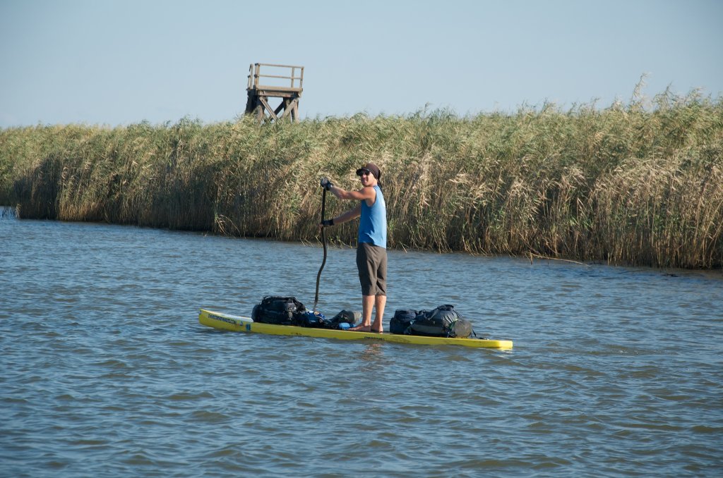
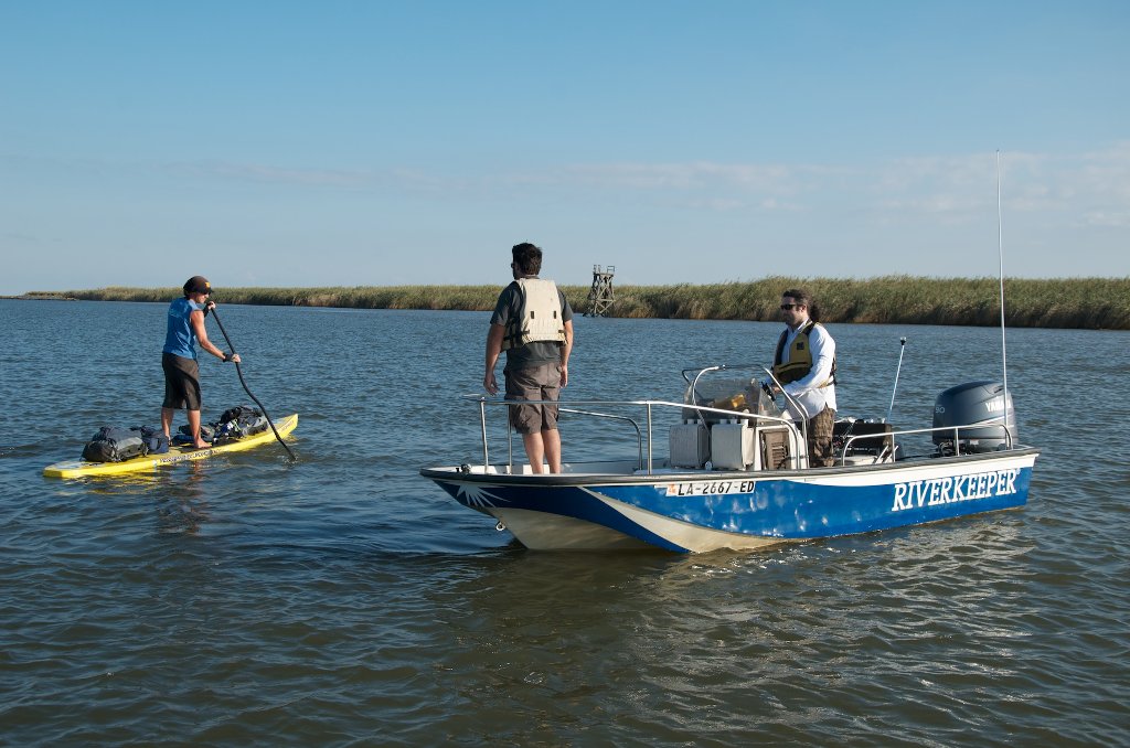
Upper South Pass Island
Paddle north one mile along the beaches to the end of North South Pass Island, circle around the end of the island and cut back in for a calm landing in the estuary behind. From here you can go into full celebration. And also make camp. Check wind and tide predictions first.
-13.5 RBD West Jetty End
Best route for paddlers is following South Pass and then exiting RBD at the end of the West Jetty. If the winds are calm from the West or South, paddle around the end of the West Jetty (BRD -13.5 BHP) and follow the shoreline of S. South Pass Island to the best sandbar for your ultimate landing. In north winds go to the ocean side. In south winds stay on the backside. Make your camp. Time to celebrate!
Best End Place: Lower South Pass Island
Lower South Pass Island is the very best beach out of all the choices at the end of South Pass. Not only does it have the most sand, but it tends to mound up higher than other islands found in the Birdsfoot Delta. Shallow approach. Keep your distance until you see a good beach and then dive in at a perpendicular to avoid capsize or taking waves over sides. Best bet: paddle 1/2 mile along island, curve around outside edge, and paddle back in from calm water on backside. Safer landings and no waves. Highest sand on farthest SW end of the island. Double check tide predictions and make sure your camp is well above (at least a foot) high tide.
-14.2 LBD East Jetty End
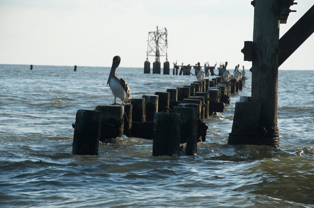
If it’s a calm day you can paddle right down the full extent of the South Pass over 14 miles from Mile -0- and past the end of the East Jetty one mile from shore. (Note: do not attempt this in high winds or rough seas). As you paddle past the last pile of rock you will find yourself deep in the Gulf of Mexico with the full feeling of the ocean. Congratulations, paddler! You’ve made it! Flocks of brown pelicans, white pelicans, terns, sheerwaters, and other shore birds will share in your joy. You might see dolphins leaping along with your bounding heart and participating in the happiness and satisfaction of completing the long journey. Turn around and paddle back the same way you came, or head in at a diagonal to one of the nearby beaches.
Pass a Loutre
(Two good routes for beach camps on Gulf: 12 miles via Southeast Pass, or 16 Miles via Pass a Loutre/North Pass route.)
- Sawdust Bend Bayou
- Loomis Pass
- Cognevich Pass
- Southeast Pass
- Southeast Pass Island
- Redfish Bay
- Blind Bay
- North Pass
Pass a Loutre is the widest opening of the three big passes at Mile -0- Head of Passes. Stay with the best flow left bank descending after paddling past Pilottown and descend into Pass a Loutre at the Head of Passes. The channel is almost a half mile wide at its mouth, but gradually narrows as it flows southeastward, then curves eastward, and then runs slightly north of east for a half dozen miles in a straight run before reaching the Gulf. Pass a Loutre runs mostly eastward, this mouth extends out into the Gulf and separates Blind Bay from Breton Sound.
Pass a Loutre provides two good routes for getting to beaches on the Gulf of Mexico: one down the Southeast Pass (14 miles) to the beaches at Southeast Pass Island, and the other down Pass a Loutre itself and then splintering off at mile -12 BHP to follow North Pass to mile -16BHP and stopping on the beaches at North Pass Island. Both routes are full of wildlife and passing fishing boats, and are completed surrounded by the Pass a Loutre State Wildlife Wildlife Management Area.
Dominique Liboiron paddled the Missouri/Mississippi River systems via the Milk River out of his hometown on Maple Creek, Saskatchewan Canada in 2013 in the name of his deceased Uncle. He says that l’outre means “the otter.” Very fitting! Dominique says that it would be pronounced “loo-ter” in his country. Dom lives in Maple Creek, Saskatchewen, Canada.
-0.5 RBD Upper Shallow Island
There are a couple of shallow islands near the mouth of Pass a Loutre, the top one comes to a slight rise in a grove of short willows that could be a stopping place in low water levels, but a campsite probably not be a good idea unless you did it in hammocks. When you paddle back up Pass a Loutre you can stay in slow water against the bank on either side of this islands and the one below it.
-1.5 RBD Lower Shallow Island
Lower Shallow Island is defined by the main channel of Pass a Loutre on one side and a back channel against the bank on the other. No dry land anywhere on this island, it is composed entirely of muddy flats and cane and grass marshes.

Leave A Comment
You must be logged in to post a comment.