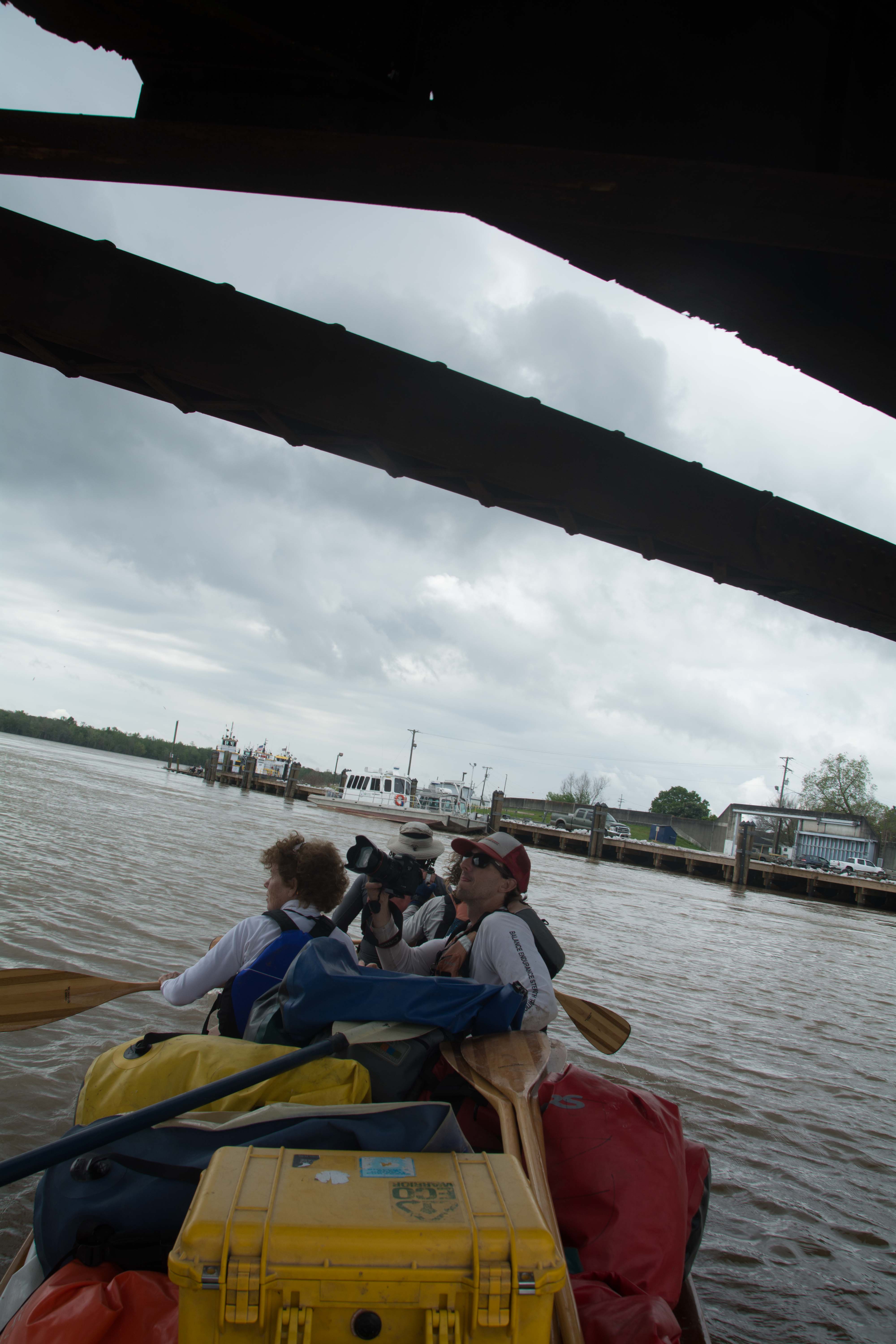
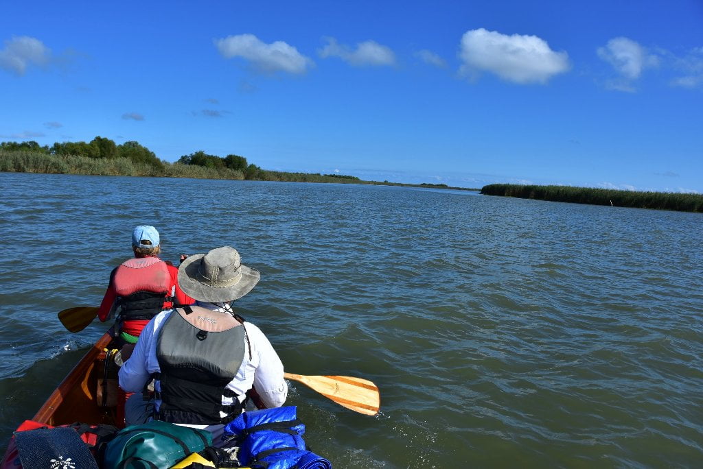
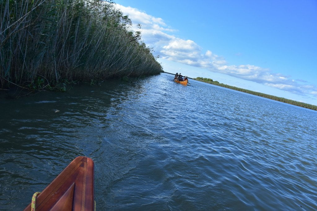
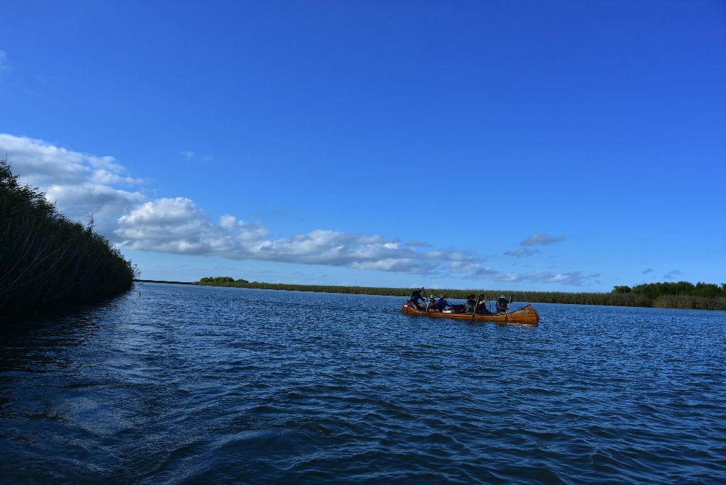
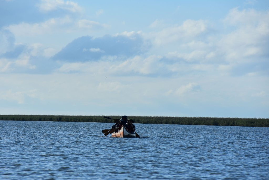
The Lower Mississippi River Water Trail
Birdsfoot Delta Tides
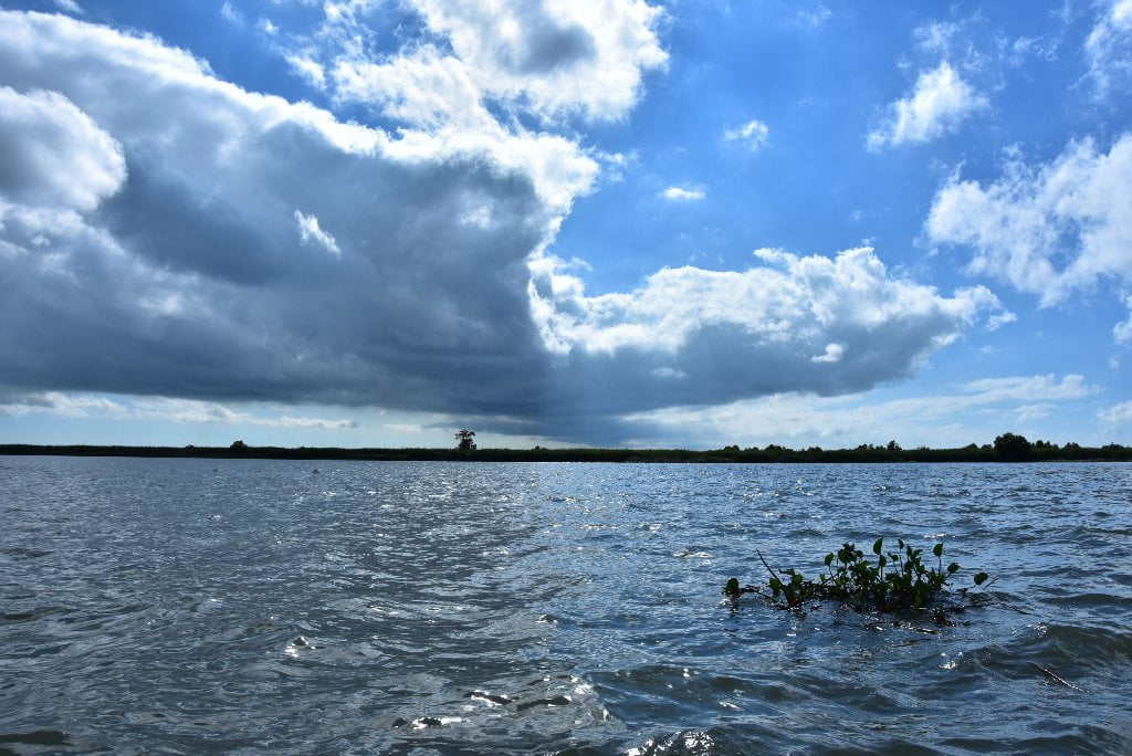
While the Bay of Fundy tides vary up to 53 feet and the Bay of Mont Saint-Michel 50 feet, the Birdsfoot Delta tides normally only vary between 1/2 foot and a 1 foot, and might vary 2 feet in the highest tides of the year. (This change in levels is known as amplitude, and is described on charts by the term “tidal coeffecient;” see below for more discussion). But winds and storms can create higher tides, up to 5 feet higher at the ends of the passes, and up to 9 feet higher at Venice (as did Camille in Aug 1969).
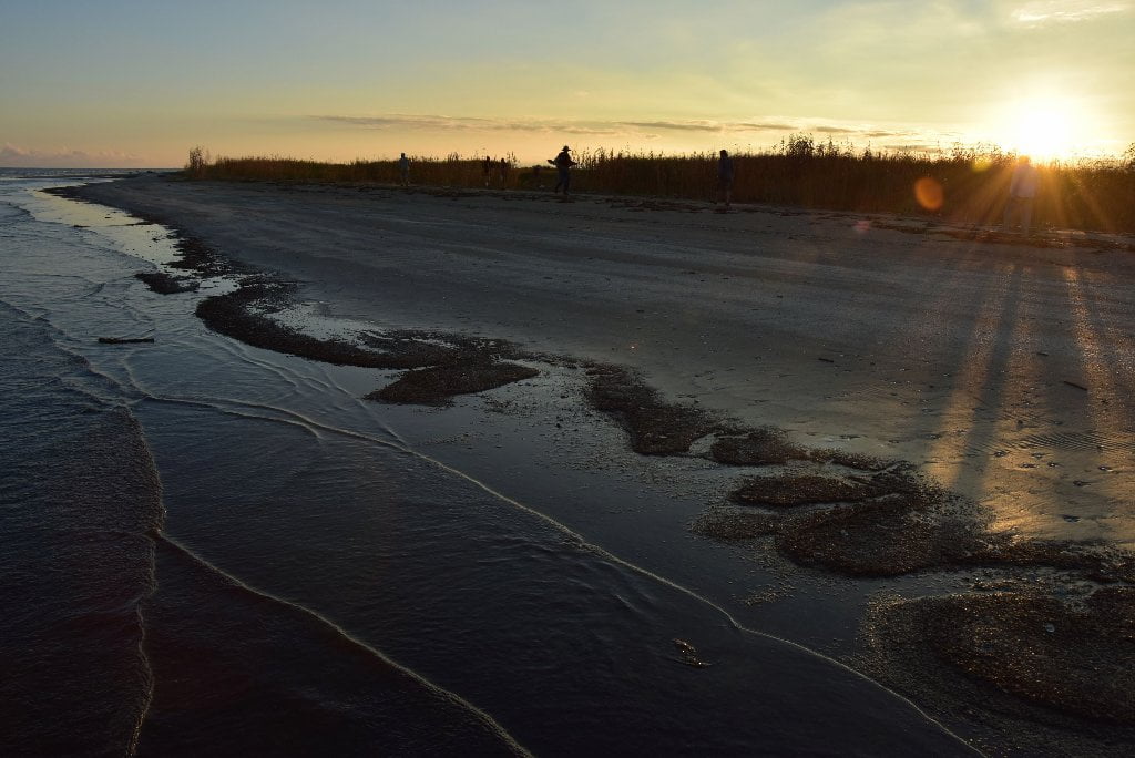
Small changes in tides is good news for paddlers in this low flat landscape. You can find dry spots for camping on some beautiful low-lying flat beaches at the Gulf, and a few scattered low hummocks in between. However you also have to be very careful about incoming high tides, and make sure the place you choose is well above the forecast. Before paddling down one of the passes, or settling down in any certain campsite, check tidal reports. Also check weather.gov for any tide warnings. Tide warnings precede high winds or oncoming storms. High winds out of the east, south or west might add 3 to 4 feet to any tidal forecast, and hurricanes could add considerably more.
Warning: a high tide forecast of 3 feet or more would probably put all camp sites below Venice underwater!
Tide Reports Online
You can find many sources for tide reports. Include a visit to weather.gov for the Venice forecast to make sure there are no tide warnings.
A very comprehensive tidal report (with fishing information) for South Pass can be found here: http://www.tides4fishing.com/us/louisiana/south-pass
You can find current tidal reports for Head of Passes here: http://www.myforecast.com/bin/tide.m?city=K7R1&metric=false&tideLocationID=T8159
For the tides at other Passes in the Birdsfoot Delta, go to this site, chose your pass, and plug in your days of possible passage to the Gulf: http://www.saltwatertides.com/dynamic.dir/louisianasites.html
(The choices here include North Pass, Pass a Loutre, Venice, Grand Pass, Pilottown, Southeast Pass, Port Eads, South Pass, Joseph Bayou, Southwest Pass, South Pass Paris Road Bridge, Empire Jetty, Bastian Island, Quatre Bayous Pass, and Barataria Pass.)
Tidal Coefficient
On the Tide Tables there are tidal coefficients which tell us the amplitude of the tide forecast (difference in height between the consecutive high tides and low tides in any given area). The highest possible tidal coefficient is 118, corresponding to the greatest high or low tide there can be, excluding meteorological effects. Tidal coefficients are calculated from the following parameters or from the sun and the moon: straight ascension, declination, parallax and the distance between the Earth and the celestial body.
Despite tidal coefficients being the same for the whole planet, they affect the amplitude of the tides in a very different manner, depending on where we are. This variation in amplitude is almost null and void in closed seas, apart from where there is local resonance (e.g. it can be up to 3ft in Venice); it is weak in mid-ocean, but tends to be considerably amplified when extending to the continental coasts.
In Space: There are tides of weak intensity (in the areas close to the terrestrial equator, the tides barely reach tens of centimetres). In other places there are tides of high intensity (for example: the French coasts of the Saint-Malo Bay), where they regularly exceed 30 ft.
In Time: The coefficient and therefore the amplitude of the tides follow the phases of the moon with slight disparity during waxing and waning moons; and extensive disparity at times of new moon and full moon. The differences in amplitude between low tides and high tides present great contrasts. In Saint-Malo the difference in level between high tide and low tide is reduced to 10 ft in periods of low tides; and goes as high as 40 ft in periods of high tides.
Tides in Rivers
The tide reigning before a coast spreads upwards in rivers with identical periodicity, but the dissipation of the energy gradually reduces the amplitude and the tide ends up being imperceptible, with this being the boundary of the maritime part of the river. On the Mississippi this boundary is normally found around 100 miles upstream, in the New Orleans area (On the Amazon River is over 600 miles!).
Tidal bore
In normal conditions, the Mississippi does not experience tidal bores, although this phenomena might occur during hurricanes or periods of high southerly winds. What is a tidal bore? In an estuary and even more so in a river with a wide mouth, the high tide is of much shorter duration than the low tide; it may even be that the ascent of the water up-river is almost instantaneous, this is the moment of the tidal bore, breakwaters that enclose the whole bed of the river which in turn also surges quickly upwards. In Brazil, the tidal bore of the Amazon River is known as the pororoca. It comes from the Tupi language and means “great destructive noise”. It occurs in spring tides, and waves of up to 12 feet in height are formed which are taken advantage of by surfers from around the world who come to the mouth of this river to surf tens of miles up the river with the waves.
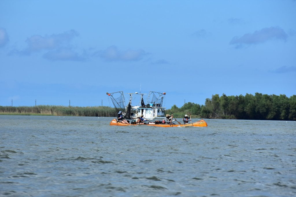
Water Speed in the Passes
In general the water slows the further outwards you go down any one pass towards the Gulf. Just like the river, in high water it’s faster and in low water it’s slower. Incoming and outgoing tides have their effect, as already described. Paddlers used to enjoying 3-5 mph in the main channel of the Mississippi can expect the water speed to gradually diminish as the river approaches the open waters of the ocean, down to 2-3 mph in the main passes, and maybe 1-2 in the smaller passes, and then maybe 1mph arpound the final island, to final calm completely when you paddle into the deep water of the Gulf. Not only is the water volume decreasing every time the river splinters into another pass, but it also reaches sea level, thereby losing all of the “pulling” effect of gravity.


Leave A Comment
You must be logged in to post a comment.