The Lower Mississippi River Water Trail
Some Helpful Hints:
Some conditions to take into consideration for deciding which pass to follow include 1) the wind, 2) oncoming storms, 3) river level, and 4) hurricanes. Hurricanes: If there are any approaching hurricanes, you will need to carefully monitor their progress towards shore, and make some quick decisions before approach. There will be no dry ground, and you will possibly experience a big scale tidal surge in the presence of hurricanes. It would be best to either “hit & run” in one day, maybe down a pass close to Venice such as Tiger Pass, where you can quickly turn around and get back, or get a ride back with powerboat. Or, maybe wait it out. Or call your journey complete wherever you are at. I think its needless to say, but do not go past Venice if there is any hurricane within one day of making landing anywhere within 200 miles of the Mississippi River Delta. Also, keep in mind that hurricanes circulate counter-clockwise. The off-shore (southerly) winds will be worse with any hurricane west of the Delta. This will result in high storm surge. Camille produced the highest ever waters ever in Venice with a storm surge of 9.11 feet on the Venice Gage. During Katrina, which crossed over the Birdsfoot Delta and into the mouth of the Pearl River, the storm surge was 28 feet in places (further inland). On the other hand, the on-shore winds (northerly) will increase for any hurricane to the east of the Delta (while the tidal effect will be greatly diminished).
See Rivergator custom Google map Mississippi Birdsfoot Delta for these and many more possibilities.M
Maps
The US Army Corps 2007 Maps of the Lower Mississippi River are fairly reliable in the Birdsfoot Delta, and yet vast changes have taken place in the years since, and many lights and landmarks are gone or pushed over, buried in the mud and sand. The 2011 flood was particularly damaging to much of the man-made navigation aids and infrastructure, and even to the shape of some of the passes themselves. Fresh passes have opened up (such as New Pass), and others seem to be closing (Main Pass). Google Maps convey more recent pictures of the true present-day shape, yet they are also unable to keep up with the changes year to year. And so as you paddle into the Birdsfoot Delta be prepared for anything. Paddlers, don’t worry too much about what should be there because you see it on the map. It’s best to make your route choices and campsite decisions based on what you actually see and experience in front of you versus what you think should be there based on outdated maps. The Mississippi Valley has always been a place of dynamic change, and the Birdsfoot Delta is even more so.
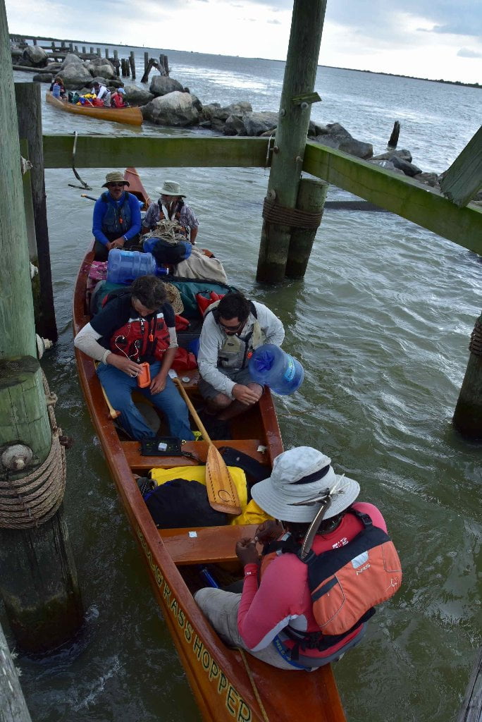
Getting Back
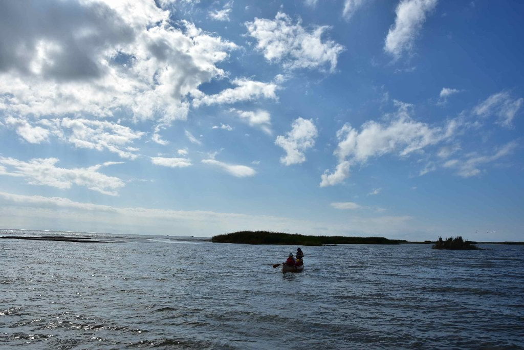
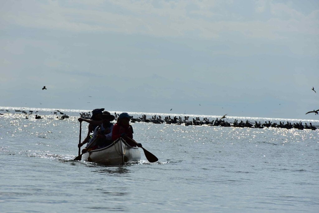
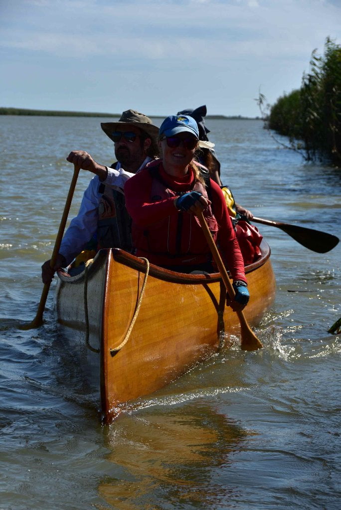
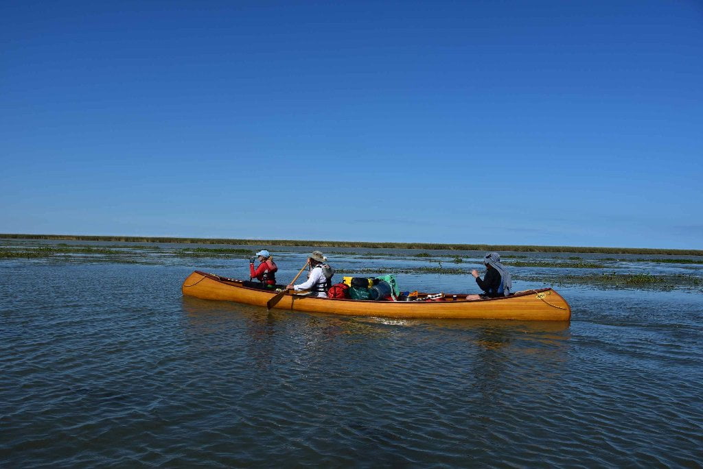
Whether you paddle back from the Gulf, or hitch a ride with a powerboat, Cypress Cove is the best place to return to, and meet your shuttle home. Venice Marina is a close second. Keep reading below for details about each, and contact info. A lot of paddlers in recent years have arranged for powerboats to shuttle them back from the ocean, or have hitched rides from passing fishing boats or workboats on their return to home port (which is almost always Venice for everyone in the Birdsfoot Delta). And you might decide the same, that you don’t want to paddle upstream. The current can sometimes be tough to paddle against, and the wind might be unfavorable. You are probably exhausted from your long day’s paddle to reach the coast, and really don’t have the energy to paddle back. But please know, dear paddler, that it isn’t too tough to paddle upstream. And you can make an extra campsite, and the take an extra day to paddle back to Venice. You will never be more than 25 miles from any given extremity of the Birdsfoot Delta. (The only exception would be the Southwest Pass, which is not recommended) The Quapaws are the downstream people, and the Omahas are the Upstream people. You have been a Quapaw for three months or more. Be an Omaha for a day or two. Anyone who has paddled the length of the Mississippi can surely paddle back upstream 25 miles! If the water is high and you have headwinds it might require 2 days of paddling. Lastly and most importantly, there is a distinct beauty in being an Omaha and making the upstream paddle home. You see the marshes and cane brakes and islands and and mudflats up close and intimately in a way that you never do paddling downstream. You get closer to birds and other wildlife. You might see (and take photos of) animals you have not been able to approach, like nutria, osprey, green tree frogs, and maybe even a gator.
Upstream Paddling
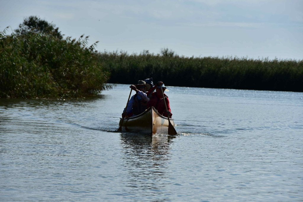
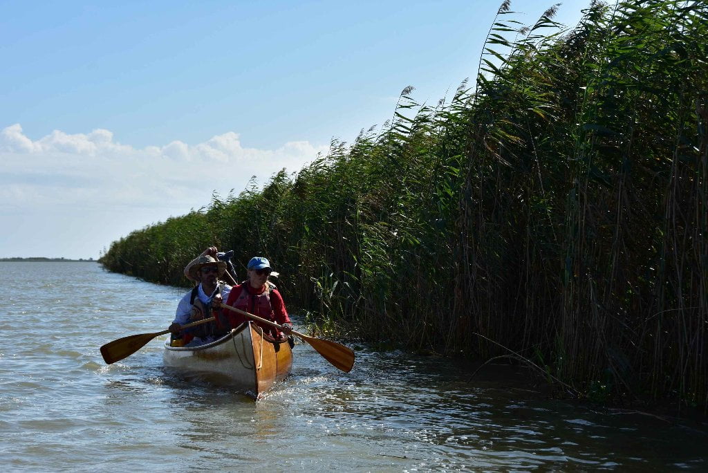
The trick to upstream paddling is to find the path of least resistance. On a river, that means staying as close to shore as possible without grounding out. It helps to hug the inside of long bends when possible. You will find it necessary to follow the long lines around wing dams, jetties and dikes, and paddle underneath docks or other man-made structures that get in the way. But the most important skill in being an Omaha is learning to dive in and out of eddies. Paddle like the French Voyageurs of the Lewis and Clark who paddled up the Missouri, and then later up the Columbia and Snake rivers. Watch carefully in front of you for eddies and slow places and use them to your advantage. Cut into every eddy you can find and relax when you can. As the water speed increases past points in between eddies paddle hard and tough with quick bursts of energy. Find the next slow place and take a break. If the wind is blowing, hug the shore, which offers the best protection.
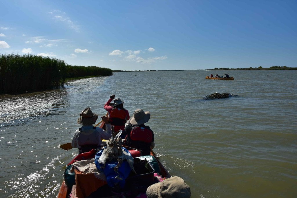
For the most part paddling up the passes from the ocean will be enjoyable and not too tough. The water is slow in most passes (unless in flood). Try to time your return with the incoming tide. The most challenging portion of your return paddle to Venice will be the 10 mile stretch of the main channel from Mile -0- up to Venice. The currents are almost always strong here, even with the tide in your favor. Also, you will have to make a channel crossing somewhere along the way (since all the attractive passes except SW pass are found flowing from the East Bank opposite Venice). This might be a dangerous crossing with the frequent freighter traffic moving up and down the river through here. But with careful examination, and monitoring your VHF marine radio on channel 67 you will be fine. Make your crossing as quick as possible, in a perpendicular run straight for the opposite shore, even if it means losing some ground due to river flow. You will quickly regain any lost ground once you resume paddling back up the other shore.
In general the East Bank will be easier to paddle alongside going upstream since it has slower flowing water. You will have to maneuver around some of the docking and port facilities surrounding Pilottown, but these obstructions further slow the current and make the upstream haul a little easier. Furthermore, the East bank features more inlets, passes, and other breaks that offer more opportunities for rest stops along the way. In contrast, the West Bank between Mile -0- and Venice is an almost contiguous line of rip rap and caged rock. There are only a few openings, and none of them except one (New Pass) with attractive landings. Even though the distance might be a little shorter (depending on what pass you take) the current is faster along the West Bank. All in all East Bank seems to be the best choice for the upstream paddle. The one factor that might change your decision is the wind speed and direction. In a strong west wind or southwest wind you would certainly do better hugging the West Bank.
After ten miles of upstream paddling (from Head of Passes) you will reach the top end of Grand Pass Island, and your long climb will be over. Paddle into the gentle current flowing down Grand Pass, and follow it one mile to Tiger Pass, one mile further to take out at Cypress cove. This short downstream paddle is doubly delicious: the end of your upstream travail, and the end of your expedition. Now you are rewarded by one last little piece of downstream muddy waters, the same muddy waters that you started on in St. Louis, or Minneapolis, or Sioux City, or Three Forks, or wherever it is that you first set your vessel into the river and started your first paddle stroke downstream to reach this point.
What do you do now with your Vessel?
After expedition completion, most paddlers arrange a return shuttle home with their canoe, kayak or paddleboard. But a surprising number have no plans to keep their vessels, and try to sell them or donate them to a worthy cause when they reach the end of the river. Some such recipients of donations in the past have been the Mighty Quapaw Apprenticeship Program, the Helena Canoe Club (outdoors program for Arkansas Delta youth), and the Clarksdale Canoe Club (outdoors program for Mississippi Delta youth). All of the above are associated with LiNKS, which means “Leave No Kid on Shore.” You can donate any of your vessels to this successful program which has changed the lives of many southern youngsters who otherwise would have no access to the outdoors, and has assisted many of those to a career in outdoor leadership and education.
LiNKS = Leave No Kid on Shore
Leave no Kids on Shore (LiNKS) is an after-school environmental conservation/stewardship program for youth from the Lower Mississippi Valley to learn the skills of carving canoes, safe paddling on the big river, and wilderness survival. LiNKS is a natural continuation of the successful Mighty Quapaw Apprenticeship Program which has been active since 1998. LiNKS will focus on long-term solutions over short term fixes, in particular by applying long-term attention to our youth, and fostering mentorship relationships that last a decade or longer. See end of this section for more information about LiNKS, and making plans to donate your vessel. Or contact John Ruskey, Director, Lower Mississippi River Foundation, Clarksdale, MS 38614, 662-627-4070, john@island63.com.
Leave A Comment
You must be logged in to post a comment.