The Lower Mississippi River Water Trail
Water Levels and Dikes
In the Greenville area you can use the following scale to gauge water flowing over dikes, although some dikes vary in height. Also some have been “notched” in recent years as result there will be a middle notch that you can paddle through at much lower levels of water, some places down to 0 Greenville Gauge.
Using the Greenville Gauge:
10-19 GG water flowing through notches only
20 GG – rocks still exposed on all dikes
21-22 GG dikes starting to go under, some flow through breaks & low spots
23 GG dikes completely under, but little flow
25-30 GG good flow and lots of boils & turbulence
30 GG strong flow, turbulence, no dikes exposed anywhere
40 GG river bank full
>48 GG Flood Stage.
Warning: above 48 GG paddlers are advised to stay off the river. Limited access. Most landings and approach roads will be underwater. Most islands will be gone. No easy camping. All sandbars will be covered. Fast waters with many hazards. All islands and landings will be surrounded by flooded forests full of snags, strainers, sawyers and all other dangerous conditions associated with floodwater moving through trees. Docks, wharves, dikes and any other man-made objects will create strong whirlpools, violent boils, and fast eddies. Towboats will create large waves. The Rivergator will not describe the river and its islands at any levels above flood stage.
Reading Google Maps
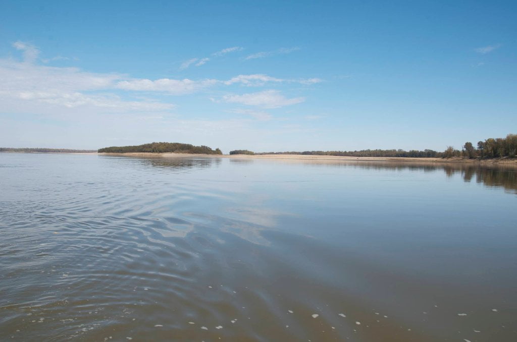
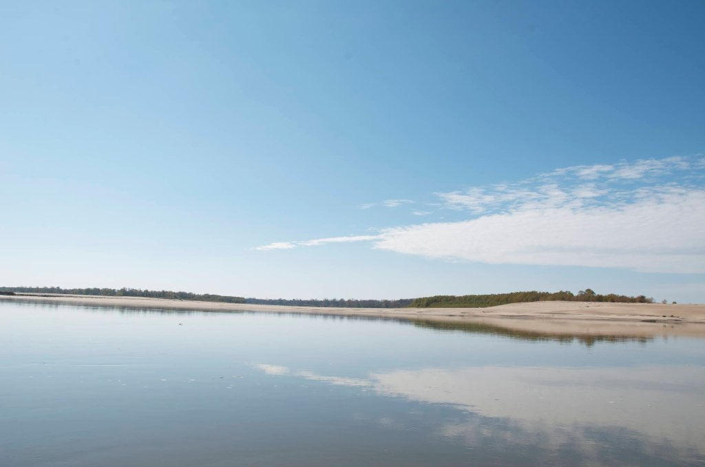
You can learn a lot about the Mississippi River using Google satellite maps, bearing in mind certain parameters. Firstly the Google map-images were recorded from space during a season of low water, hence the islands and sandbars are at their largest, and many back channels that are open at higher water levels appear to be closed. Unlike highways which don’t change shape or position with the seasons, the islands of the Mississippi River and their back channels are dramatically affected by water levels. And so the paddler needs to remember that the shapes of low-lying landmarks like the sandbars and wetlands seen on Google Satellite Maps or Google Earth is probably not what they are like on any given day when you are out on the river. Be forewarned not to assume that the perfect-looking sandbar you see on you iPhone will be there!
Secondly, river levels change with the Google Maps zoom. Take Choctaw Island for example. When you go to Satellite view for the Mississippi River near Arkansas City you will see that Google employs various depictions of Choctaw Island. (I have created map at: http://g.co/maps/wmese) Use the zoom tool to change scale. Pay attention to scale icon at bottom left. At zoom 1 = 1 mile and above you can see the back channel partially open & flowing well. The water level is probably around 3AG. However change the zoom to 2 = 1mile and lower you will see the back channel almost completely occluded by sandbars. The water level in this depiction is certainly -4AG or lower.
Thirdly, for amorphous locations like river confluences and shifty river islands, what’s seen on Google Terrain may not be what’s seen on Google Satellite. The maps from the mouth of the Arkansas are a good case in point. Click on the map I created for the Mouth of the Arkansas Round Trip http://g.co/maps/syhs8 Look at it in Terrain, and then go to Satellite. You will see that the Arkansas River channel occupies different channels! This is not a mistake on Google’s part. What you see in Terrain is from the 1972 USGS survey. Since then the Arkansas has chosen a new path and carved out a new confluence location two miles from the older one. This is the nature of this ephemeral river-scape. It will be interesting to see how the current Arkansas River channel changes in the upcoming years, and how well Google will keep up with it.
Leave A Comment
You must be logged in to post a comment.