The Lower Mississippi River Water Trail

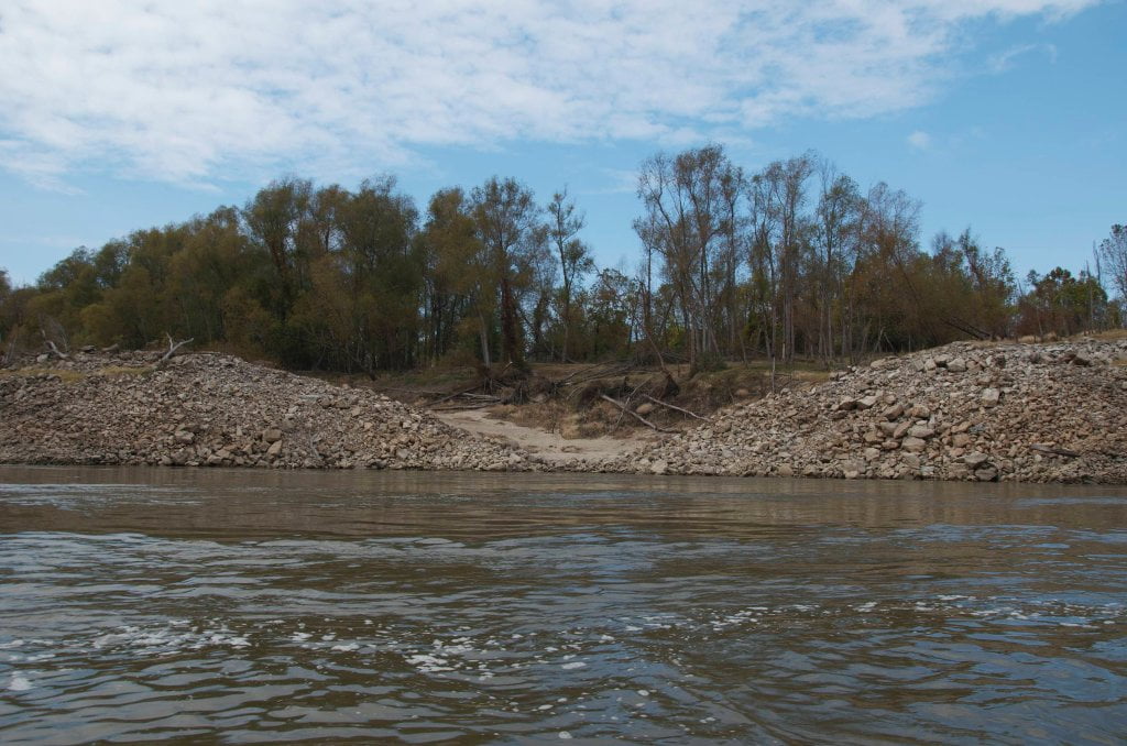
The top end of Cottonwood is protected by a long dike and weir with an opening on its north end (RBD).  There is always some flow behind Cottonwood, although it’s a slow channel at low water.  Best run at 25 VG or above.


Arcadia Bar Back Channel

If the river is 30 Vicksburg Gauge or above stay left bank and follow the flow into the mile wide opening behind Arcadia, which narrows slightly and then opens up again towards bottom end.  Watch for waterfalls over two dikes, one at top and one at bottom.  Many routes to follow.  Pick and choose.


Goodrich Public Boat Launch

Steep concrete ramp made from revetment falls steeply into back channel at base of Cottonwood Bar.  Road access from US 65 over levee.  Parking and ramp located south of Bunge grain elevator.


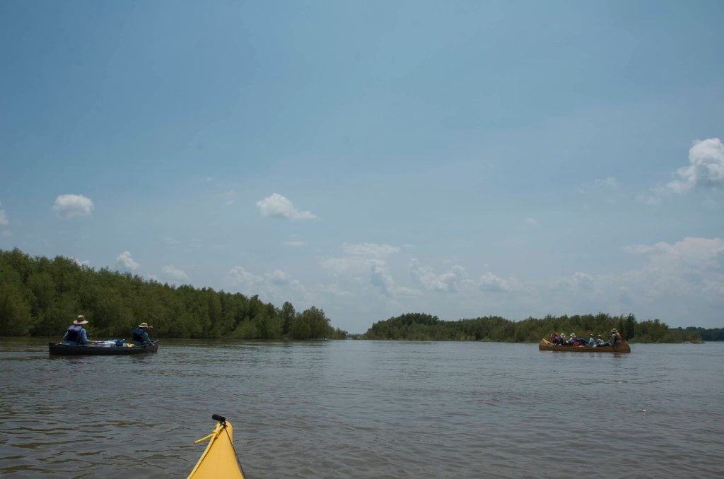
RBD 462-459 Willow Island


The Main channel runs southeasterly from Cottonwood Bar into Willow Cutoff (1934), and continues south around Willow Island, and then slides southeasterly past the Madison Parish Port at Milliken Bend towards Paw-Paw.  The five mile channel between Cottonwood and Willow almost a mile wide and nearly featureless.  For expediency the strongest flow is found right bank descending past the Goodrich Light (RBD 466.9 and Dogtail Landing (RBD 466.5).  You’ll want to avoid the long series of wing dams (Tennessee Bar Dikes) lines the left bank.  As with all dikes, these slow the water, create turbulence, and you will have a long line of buoys to weave through.


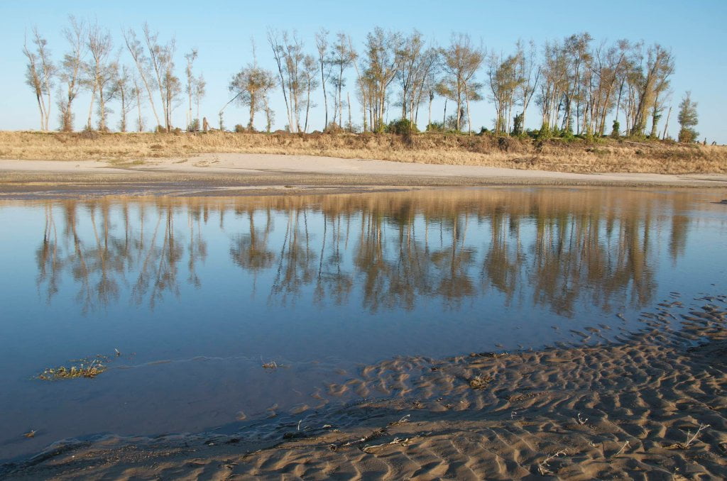
As you enter the cutoff a scrubby group of willows atop a mid-channel island will take shape and grow in size.  This is appropriately named Willow Island, since not much else grows here.  You’ll find a few cottonwoods, and some flowering bushes and grasses such as buttonbush, and maybe a few migrating invasive plants.  Tumbleweeds have been seen in recent years.  In the low water of 2012 we discovered a plot of watermelons near the Willow blue hole.  Willow Island is predominantly composed of young willows.  But these small trees are nothing to scoff at.  They have survived many years of high waters, high winds, severe thunderstorms and the nearby crossing of an F-4 tornado (see below).  Even the great flood of 2011 failed to unearth the willows of Willow Island.  There was no sand to be found on May 21, 2011 when the river crested but the willows were still there, making their presence known by their leafy green tops reaching towards sky above the churning mass of orange-brown water. 


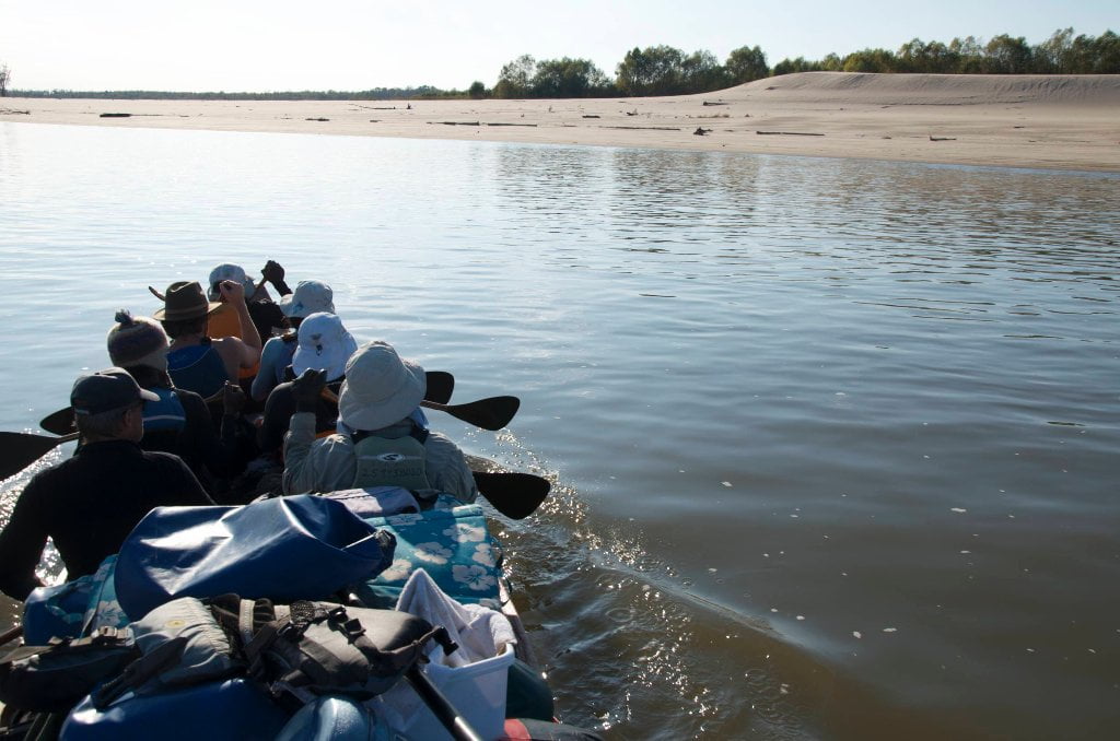
At low water Willow Island extends 3 miles north to south with a high point near mile 460.5 and a short ridge not far below at 460 topped by a single line of mature willows.  There used to be a channel in between the two high points, but the 2011 flood filled it up and now they are connected by a long high plain of sand that starts going under around 30VG.  The huge Willow Island back channel opens up in low water, around 15 

Leave A Comment

SECTION MILE ACCESS CITY
Middle Mississippi & Bluegrass Hills / Bootheel 195-0, 954-850 ST. LOUIS TO CARUTHERSVILLE
Chickasaw Bluffs 850 – 737 CARUTHERSVILLE TO MEMPHIS
Upper Delta 737 – 663 MEMPHIS TO HELENA
Middle Delta 663 – 537 HELENA TO GREENVILLE
Lower Delta 537 – 437 GREENVILLE TO VICKSBURG
Introduction  
Greenville to Lake Providence
Greenville, Mississippi  
Greenville Accomodations and Restaurants  
Greenville Blues Festivals  
Greenville Boat Ramp  
Greenville Harbor  
537 LBD Warfield Point Park
537 LBD Old Warfield Point Boat Ramp
537 LBD New Warfield Point Boat Ramp
534 LBD Vaucluse Landing
531.5 RBD Sunny Side Landing
530.7 LBD Greenville Bridge
529 – 525.5 LBD Lakeport Towhead / American Bar
525 LBD American Cut-Off / Lake Lee
Lake Lee Public Boat Ramp  
Options for Paddlers Below Greenville Bridge Near American Bar and Lake Lee  
Lake Washington  
523 – 520 RBD Island 68
519 – 515 RBD Kentucky Bend
515 – 512 LBD Leota Bar / Cracraft Chute
514 – 512 RBD Worthington Cutoff, Matthews Bend, Grand Lake, Island 88
512 RBD (And Up Back Channel) Grand Lake Landing Boat Ramp
510 – 506 RBD Cracraft Bar
Paddler’s Choices Through Cracraft Chute & Sarah’s Cutoff  
Entering Louisiana  
503.5 RBD Bunch’s Cutoff
503 RBD Chute of Old River Lake
505 – 502 LBD Corregidor Bar
500 – 495 RBD Wilson Point Bar
496 LBD Tennis Court Landing
Vicksburg Gage  
Water Levels and Dikes  
494 – 487 LBD Baleshead / Stack Island / Ben Lamond
Two Stack Islands?  
Lake Providence  
Lake Providence Landings  
Paddler’s Choices in the Mayersville – Lake Providence Area  
487 – 481 LBD Shipland Wildlife Management Area
Lake Providence to Vicksburg
Vicksburg Gage  
Water Levels and Dikes  
Lake Providence  
Lake Providence Landing  
Paddler’s Choices in the Mayersville – Lake Providence Area  
487 – 481 LBD Shipland Wildlife Management Area
480 – 474 Fitler Bend
471 – 465 Arcadia Point Bar / Cottonwood Bar
Paddler’s Routes Arcadia Point Bar / Cottonwood Bar  
462 – 459 RBD Willow Island
461 LBD Chotard Lake Terrapin Neck Cutoff
Laney’s Landing  
459 LBD 2010 F-4 Tallulah – Yazoo Tornado
458.8 LBD Eagle Lake Pass
458 LBD Tara Landing
457 RBD Madison Parish Port and Public Boat Launch
Bluz Cruz Kayak and Canoe Race  
Willow Island, Chotard Lake, and Eagle Lake: Paddler’s Routes  
458 – 449 Milliken Bend
449 – 445 RBD Sparta Island
449 – 445 RBD Marshall Cutoff
446.5 LBD Paw Paw Chute
The “Heart of the Darkness” Tour  
Around Paw Paw to Forest Home Chute  
Paw Paw to Vicksburg Via the Yazoo  
Steele Bayou Control Structure  
What Are the Paw Paws  
Paw Paw Chute / Sparta / Brown’s Point: Paddler’s Routes  
445 – 442 Brown’s Point
444 Brown’s Point Fault Line
441 – 438.5 RBD Delta Point Bar
Habitat Restoration on the Lower Miss  
438 RBD King’s Point / Secret Entrance Into Lake Centennia
437.7 LBD Mouth of the Yazoo River
Vicksburg  
Vicksburg Services and Accommodations  
Vicksburg Services, Accommodations, and Restaurants  
Looking Downstream  
Loess Bluffs 437 – 225 VICKSBURG TO BATON ROUGE
Atchafalaya River 159 – 0 SIMMESPORT TO MORGAN CITY
Louisiana Delta 229 – 10 BATON ROUGE TO VENICE
Birdsfoot Delta 10 – 0 VENICE TO GULF OF MEXICO