The Lower Mississippi River Water Trail
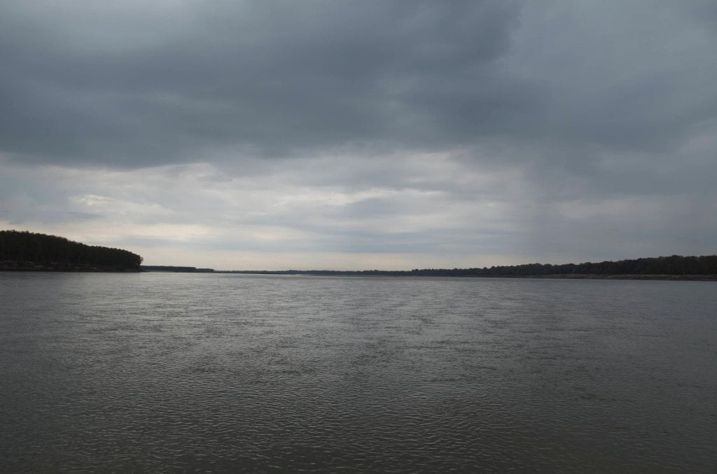
At low water canoeists and kayakers must stay main channel through some very long straightaways and very, very long gently curving turns around Mayersville, Mississippi and Lake Providence, Louisiana. But at high water levels, above 30 on the Vicksburg Gauge, several long back channels open up delivering fascinating scenery and sometimes spectacular wildlife.
Main Channel
The main channel route through this area is fairly straightforward. Go with the flow around the outsides of the bends, and make your crossings through the middles. As always be forever alert to towboats and their navigation routes, moreover watch for buoys.
Tennis Court Landing LBD 496
There are two ramps are located here. The older one is frequently bogged down in mud (below medium water 25GG). The new one was recently crushed by an upstream tow (sometime in 2011). Access to Mayersville is over a gravel/muddy road that gets flooded around 45 Greenville Gauge.
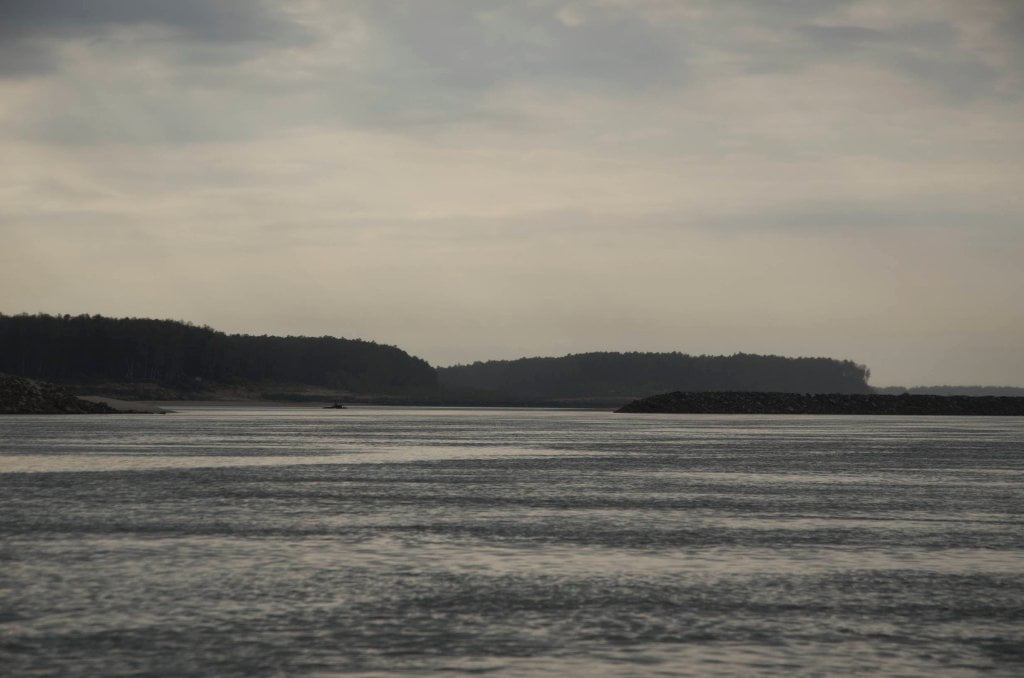
Back Channel Wilson Point Towhead
At high water Wilson Point Bar splits the ocean of water in two, the majority of the flow going wide around the bend, and a smaller portion staying right bank descending and flowing more slowly through a beautiful back channel. Nearing flood stage 48 on the Greenville Gauge (43 Vicksburg) the top of Wilson Point Bar splinters into a tapestry of smaller channels which flow over the top of the island in a dozen or more sluices through the sandbars and in between stands of willows, cottonwoods, sycamores and other scrubby vegetation.
Back Channel Baleshead/Stack Island/Ben Lamond
In high water yawning wide back channel opens up behind the top end of Baleshead LBD 491 or 492. Wander behind Baleshead and the “left bank” Stack Island and enjoy the pleasure of back channel paddling for many miles free of any towboats or buoys. Once you get past the lower island around 487.5 start checking traffic for return to the main channel, or continue downstream behind the next set of islands.
Back Channel of Stack Island
Cut in behind “right bank” Stack Island (RBD 489) for a beautiful seven and a half mile meandering back channel experience. Best run at medium water or higher, above 20 on the Vicksburg Gauge. Primitive access into town two miles down RBD. Reenter main channel out of the Lake Providence Harbor at RBD 483.
Lake Providence Primitive Landing
You’ll see a primitive landing with access into town two miles down RBD. Hide your canoe or kayak and walk through woods, over levee and into town by way of City Dump Road (which brings you out on Lake Street US 65). If you need a quick resupply of water or food, this would be your closest landing to town.
Leave A Comment
You must be logged in to post a comment.