-
 Annual Learning Adventure for KIPP Delta Schools. Biggest Island in between the coasts!
 -
 2006 by Michael F. Clark and John Ruskey; Re-printed in 2014 one at a time, and spiral bound with copy of original watercolor Canoe! Canoe! painting. 8.5 x 11, 173 pages full color cover with dozens of B&W photos, maps, and river drawings from the 2004-2006 Scott Mandrell and Churchill Clark "Now We Paddle for the People" Lewis & Clark Bicentennial Re-enactment Expedition, including the Columbia, Snake, Clearwater, Yellowstone, Middle Miss and "Big Muddy" Missouri Rivers. And epic adventure in dugout canoes.
 -
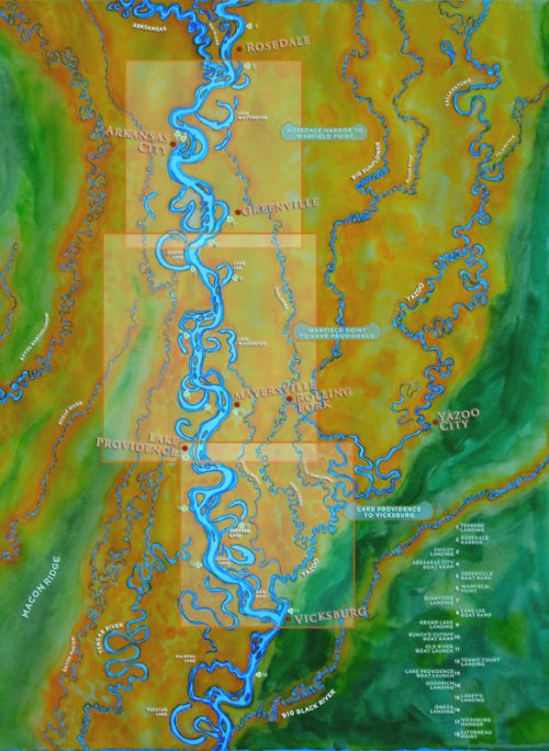
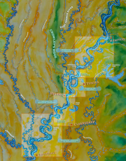
 Our newest map is printed on waterproof paper featuring the Mississippi River from Fort Adams through Baton Rouge, New Orleans, Venice, and the Birdsfoot Delta; and Atchafalaya River from Old River through the Atchafalaya River Basin to Morgan City, and then down through the Atchafalaya River Delta. 26" x 36" printed on 70# Yupo waterproof paper. Can be rolled or folded. Good on the river, good framed and hung on your wall!
 -
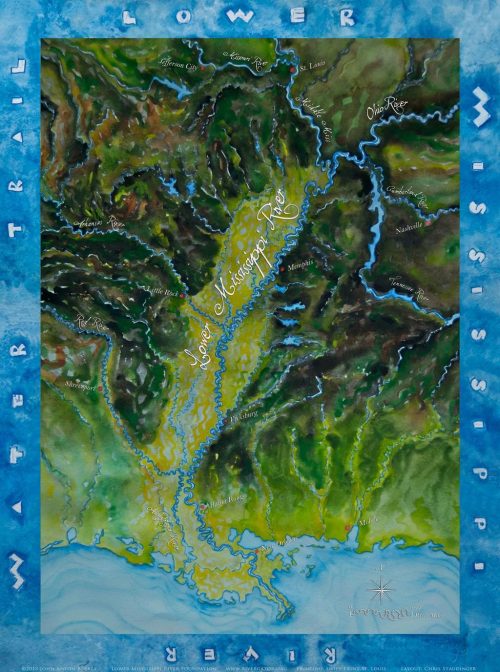
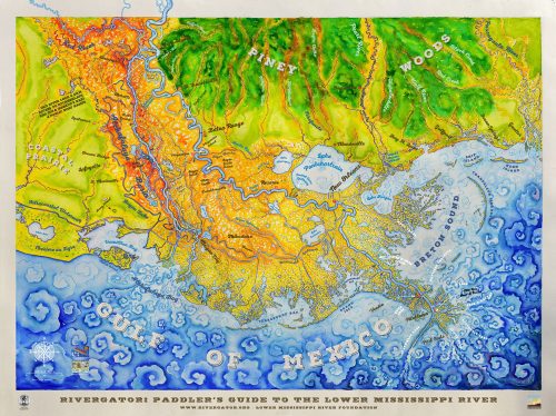
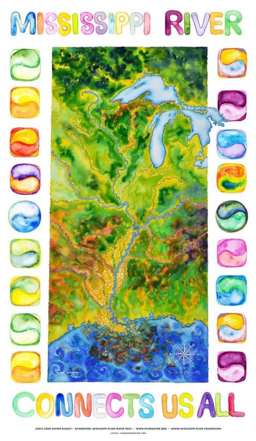 Mississippi River from Lake Itasca to the Gulf of Mexico (2300 miles long!) Printed on 80# watercolor paper.
 -
Mississippi River from Lake Itasca to the Gulf of Mexico (2300 miles long!) Printed on 80# watercolor paper.