The Lower Mississippi River Water Trail

Routes for the paddler around Tamm/Barfield Bends

https://maps.google.com/maps/ms?msid=217859314001592865582.0004e45735546c2e02259&msa=0&ll=35.886825,-89.724998&spn=0.085671,0.180931

http://goo.gl/maps/p7fXn


Tamm and Barfield create a lovely loop-de-loop of meandering river that is replicated at a couple of different places, notably in the last 30 miles of the Middle Miss, and in the Bayou Goula Bends below Baton Rouge.  These mirror-image river revolutions were common before modern man arrived and took many of them out with “cutoffs,” places where the yoke of the bend narrowed and only a short piece of forest had to be removed to connect the waters.  Fortunately this was never done at Tamm/Barfield and the canoeist or the kayaker can enjoy the sensations of swirling around two gi-normous 180s with two great back channels to explore as alternate routes.


1) Main Channel

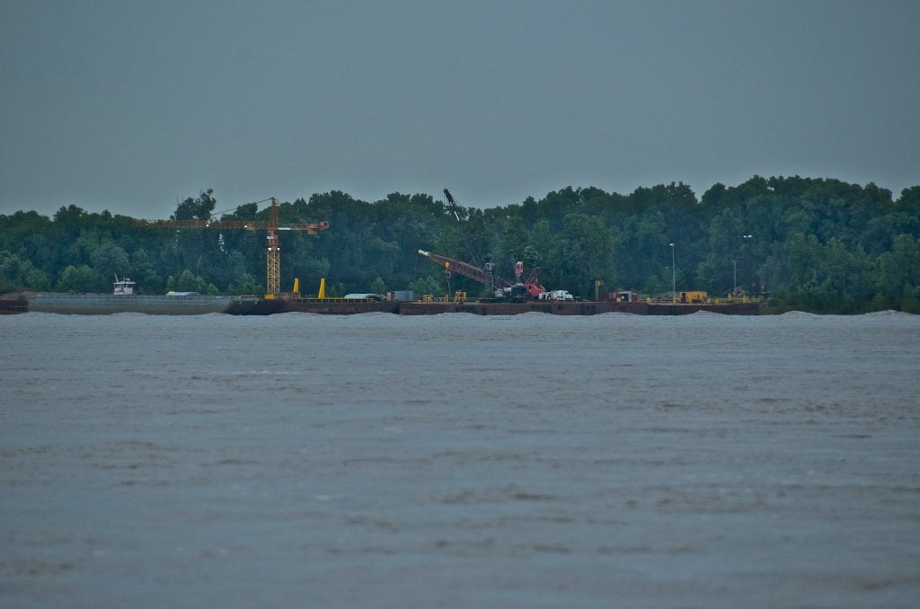
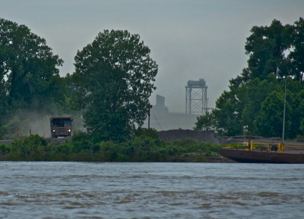
Stay mid channel below Island 21 and follow the strongest flow left bank towards the Tennessee shore, past the mouth of the Obion River and on around Tamm Bend.  Upstream Tows tend to hug the inside of the bend, while downstreamers go outside for the fast water.  Below Tamm edge back into middle channel and then slide back LBD towards Arkansas past the noisy Nucor steel plant, and then complete the bend staying right bank past Tomato and follow the fast tongue of water back into middle channel at the top of Island 25 which eventually slides back over to the Tennessee shore.


2) Back Channel Tamm Bend

During high water you have the option of cutting behind Wright’s Point through a mile-wide back channel that will slice 5 miles off your journey.  As with all back channels the water flows slower behind Wright’s, but you will make up any lost speed with wildlife and peaceful flow, and of course less distance.


3) Obion River Round Trip

Paddle up the gently meandering Obion lined by fields of corn and soybeans four miles up to the junction of the Forked Deer.  Follow the Obion left fork into Moss Island WMA for a possible round trip on a parallel lake just over the left side riverbank (this would involve 2 portages at most water levels).


4) Back Channel Barfield

After paddling past Nebraska Point, stay LBD along dikes the water flows strongly through an opening below 2nd major dike, during high water you have to move fast!  (If you miss it go the next opening above 3rd dike)  Follow left bank 180 degrees around the bend, behind one large island, and another low sandbar island (medium water) until you are paddling southeast, and then ease back over mid river to rejoin the Main Channel. 

Leave A Comment

SECTION MILE ACCESS CITY
Middle Mississippi & Bluegrass Hills / Bootheel 195-0, 954-850 ST. LOUIS TO CARUTHERSVILLE
Chickasaw Bluffs 850 – 737 CARUTHERSVILLE TO MEMPHIS
Introduction  
Caruthersville to Osceola
850 – 737 LBD Options for Paddlers in the Caruthersville Stretch
Above Caruthersville  
Below Caruthersville  
850 RBD Caruthersville Harbor Boat Ramp (1/2 Mile Up Harbor)
849 RBD Mouth of the Carutherville Harbor
849 RBD Trinity Barge Fabrication Plant
847 RBD Blaker Towhead
846.5 Caruthersville
846 RBD Isle of Capri/Lady Luck Casino and Casino Inn Suites
845 – 840 LBD Caruthersville – Linwood Bend
850 RBD – 840 LBD Day Trip: Caruthersville to Booth’s Point
840 LBD Linwood Bend Boat Ramp
839 Caruthersville Bridge
Bridges and Mud: How Deep is the Mississippi Mud  
Several Routes Around Islands 18, 20 and 21  
838 – 835 LBD Island 18 Towhead
829 – 832 RBD Island 20 Dikes and Towhead
823 – 829 LBD Island 21
Routes for the Paddler Around Tamm/Barfield Bends  
820 – 815 RBD Wright’s Point – Tamm Bend
819.3 LBD Mouth of the Obion River
Moss Island WMA  
817.7 LBD Tamm’s Landing and Ed Jones Boat Ramp
817.7 – 801.8 LBD Chickasaw National Wildlife Refuge
No Levee?  
814 LBD Nebraska Landing
815 – 805 LBD Barfield Bend
809.3 RBD Barfield Boat Ramp
806 RBD Tomato Arkansas
805 – 801 RBD Island 25
Paddler’s Options in the Island 30 – Osceola Area  
800 – 796.5 RBD Island 26 and Forked Deer Island 27
803 – 787 RBD Ashport-Keyes Gold Dust
796 – 791 RBD Ashport Gold Dust Dikes
797 LBD Shoaf Landing
797 LBD Lower Forked Deer River
796 LBD Ashport-Keyes Boat Ramp
793 – 785 RBD Island 30
796 LBD Ashport-Keyes Boat Ramp
Neark (Jacksonville) Landing  
786.5 LBD Back Channel Island 30
785 RBD Osceola Arkansas
783.5 RBD Sans Souci Boat Ramp
Osceola to Shelby Forest
785 RBD Osceola Arkansas
783.5 RBD Sans Souci Boat Ramp
782 LBD Driver Island
779.8 LBD Old Mouth of the Forked Deer
779 – 778 LBD First Chickasaw Bluff
Alternate Paddler’s Route Around Hatchie River & 2nd Chickasaw Bluff  
778 – 773 RBD Sunrise Towhead – Island 34
777 – 773.5 LBD Hatchie Towhead
773.5 LBD Mouth of the Hatchie River
773.5 LBD Lower Hatchie National Wildlife Refugee
771 – 772 LBD Angelo Towhead
771 LBD Randolph Landing
771 – 769 LBD The Second Chickasaw Bluff (Richardson Bluff)
768.9 LBD Richardson’s Landing
768 LBD Randolph’s Landing/Duvall’s Boat Ramp
766 – 763 LBD Below Richardson’s Landing Dikes and Bar
Dyess Arkansas, Birthplace of Johnny Cash’s Five Feet High and Rising  
Five Feet High and Rising  
767.6 – 761.5 RBD Island 35
767 RBD Island 35 Boat Ramp
Back Channels of Island 35  
767.6 RBD Entrance
761.5 RBD Exit Behind Dean Isand
Memphis Gage  
Dikes and Water Levels  
Reading Google Maps  
761.5 – 757 RBD Dean Isand
761.5 – 757 RBD Back Channel of Dean Isand
Third Chickasaw Bluff  
758 – 754 LBD Denseford Bar and Dikes/Hen and Chicks
752.7 LBD Shelby Forest Boat Ramp
Shelby Forest to Memphis
Memphis Gage  
Dikes and Water Levels  
752.7 LBD Shelby Forest Boat Ramp
Hen & Chicks Round Trip  
754 – 745 LBD Meeman Shelby Forest State Park
754 – 747.5 RBD Back Channel of Brandywine Island
Buoys and Dikes  
Paddling Into Memphis: Three Distinct Routes  
749 – 742 LBD Hickman Bar
Picknicking and Camping on Hickman  
746 LBD Upper Hickman
745 LBD Middle Hickman
744 LBD Lower Hickman
743 LBD Below Lower Hickman
740.6 LBD Loosahatchie River
743.5 – 740 LBD Redman Point Bar
Memphis Upper Waswater Treatment Plant  
M.C. Stiles Waterwater Treatment Facility  
739 LBD Conoco Lucy-Woodstock Memphis Chemical Terminal Dock
740.6 LBD Wolf River
738.4 LBD Mud Island Upper Boat Ramp
740 – 737.5 Loosahatchie Bar
737.5 Ferry Crossing to Memphis From the Bottom of Loosahatchie Bar
737 Memphis “M” Bridge (Hernando De Soto Bridge)
736 LBD 4th Chickasaw Bluff: Memphis
736 LBD Memphis Mud Island Harbor
Mud Island Riverpark & Museum  
Memphis Yatch Club Marina & Boat Ramp  
Coast Guard Boat Ramp  
Memphis Conveniences Useful to Paddlers  
Several Challenging Round-trips From Memphis  
The Lossahatchie Redman Figure-Eight  
The Loosahatchie Roundtrip  
Hickman Bar Roundtrip  
Upper Delta 737 – 663 MEMPHIS TO HELENA
Middle Delta 663 – 537 HELENA TO GREENVILLE
Lower Delta 537 – 437 GREENVILLE TO VICKSBURG
Loess Bluffs 437 – 225 VICKSBURG TO BATON ROUGE
Atchafalaya River 159 – 0 SIMMESPORT TO MORGAN CITY
Louisiana Delta 229 – 10 BATON ROUGE TO VENICE
Birdsfoot Delta 10 – 0 VENICE TO GULF OF MEXICO