The Lower Mississippi River Water Trail
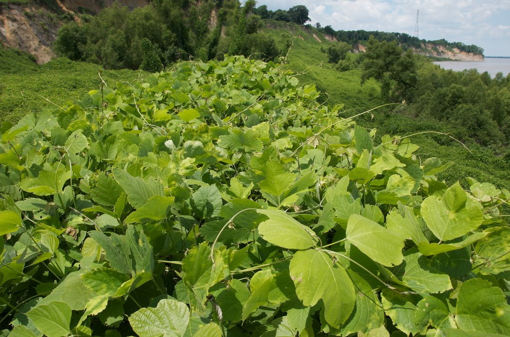
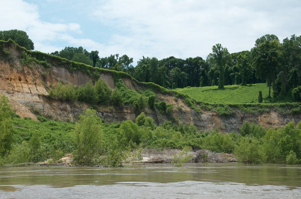
Indeed this is the earth in motion, from the top of the two-mile long bluff to the shoreline below. The river has slowly but steadily been eating away the bottom of the bluff through the millennia and the bluff has been responding like some recoiling but ultimately helpless creature. It’s a land in flux, the feast grounds at the edge of the biggest river in North America, full of muddy leftovers that one day are seen and the next day are gone. As such you will need to be vigilant for slabs of falling mud, falling trees, quick mud, and mud slips, especially towards the downstream end of the bluff where the cliffs rise in a clean vertical leap several hundred feet high directly above the river’s edge. Almost no one save the bald eagle dares to make a landing here. If you do so your journey would be best protected by a safety rope, like a party of climbers on a Swiss Glacier, stay roped together as you walk anywhere along the base of the bluff or risk falling into one of the deep cracks or fissures. The responsible explorer would wear a climbing helmet and tote a 2nd safety rope and an emergency kit with food and water in case of the worst. Poisonous snakes, spiders and other creatures abound in the blanket of kudzu, which is sometimes chest deep, and sometimes over your head, and impedes any progress within its thick tangle. A machete could be useful, although it might make things worse when the loosened tangle falls on your head.
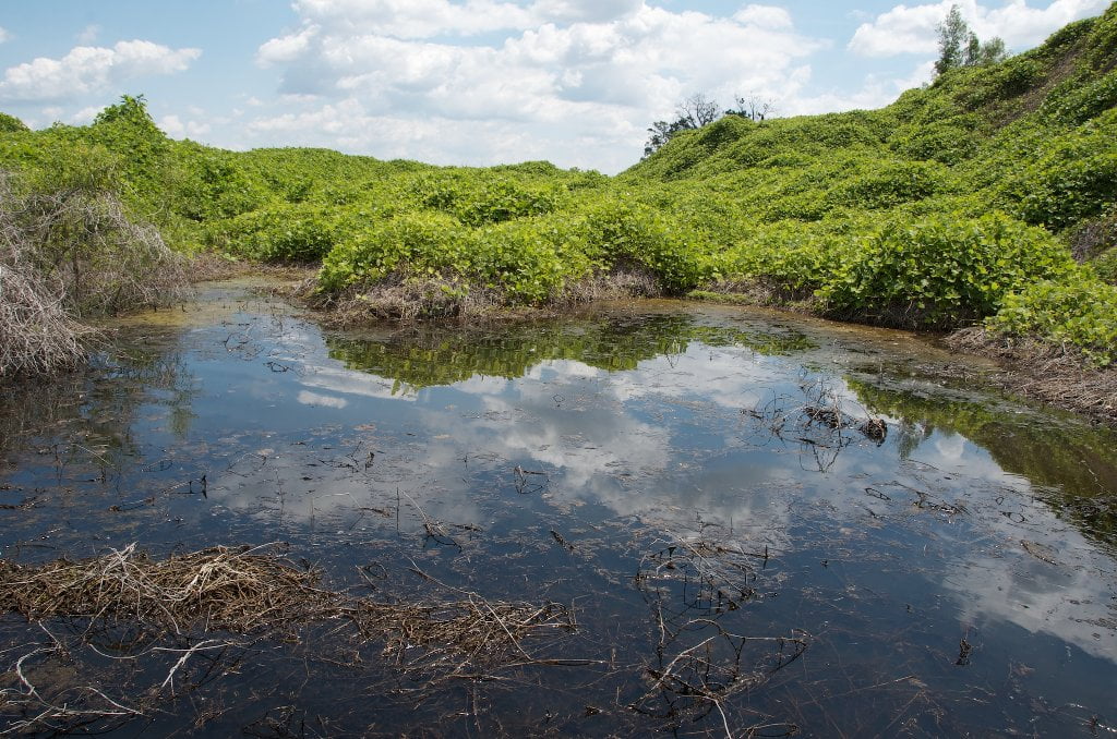
Camping or picnicking is unthinkable. For one thing there is no level place anywhere to make a camp, and for another nothing but gooey mud is found. There are flat looking places that when you make a step you discover they are actually pools of mud with seemingly no bottom (another good reason to rope up). What looks like rocks crumbles in your hand. What seems like sandstone is really sandy mud. What looks like slate is simply layers of gray loess which dissolves in the next rainstorm and falls in VW Beetle sized chunks from the heights above. Those needing a landing should do so above the sandy bluffs at Morgan Point (RBD 771-769) or continue downstream to Duvall’s Boat Ramp (LBD 768) or the sandbars around Reverie Landing/Cedar Point (LBD 766-763).
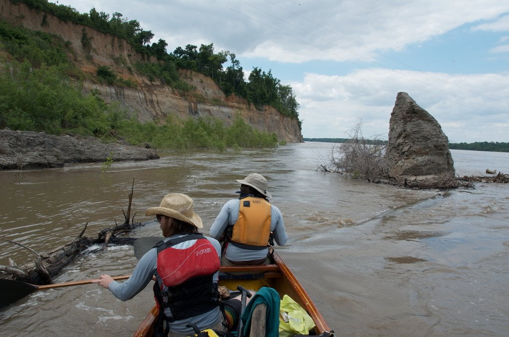
To be sure, the beauty of the Second Chickasaw Bluff is best enjoyed from the cockpit of your kayak or seat of your canoe (or even better standing on your paddleboard) as you slide along its base buoyed by the never tiring boils and eddies of the big river. In fact you will be enjoying a natural phenomena that no on on land can ever appreciate because there is no way to get there. The adage “you can’t get there from here” definitely applies! Stay on your vessel as you float along the base of the bluff. In places there are enormous boils and strong eddies that reach out a hundred yards, but you can easily skirt along all of these and enjoy the view.
If there are any upstream tows be ready for the big waves that pile up here, expounded by the wall of mud and turbulent waters. Paddler’s beware: deferring to large downstream tows, upstream tows sometimes hug the bank at bluff bottom (below the powerlines) and sometimes dive into the giant eddy a mile downstream (below Randolph Bluff Foot Light LBD 768.9). When they come upstream don’t get trapped against the jagged cliffs at bluff base bottom! Watch for tows and monitor VHF Channel 13 for any activity. Go to shore far above this location and let them pass, or paddle far RBD towards the Arkansas shore in advance of their passage and maintain a healthy 500 yards distance. You might miss close-ups scenic views along the base of the bluff, but you will gain the incomparable scenic view of the largest towboat/barge packages on earth dwarfed by the colossal mass of the Second Chickasaw Bluff!
The Second Chickasaw Bluff runs on a SE diagonal (opposite the angle of the First Chickasaw Bluff), hence it is best viewed (and photographed) in the morning light. For this reason, you can ideally experience the best light on both Chickasaw Bluffs leaving Sans Souci Landing or environs in the afternoon, passing by the 1st Bluff sometime late afternoon/evening and camping somewhere below, if it’s low water try the Hatchie Towhead, and arise the next day for the morning light on the 2nd Bluff. In particular, the winter time low angle sun occludes much of the bluff by noon. During cold spells ice can accumulate on the cliff seeps, icicles can form, and any rare snowfall will remain here longer than surrounding places where the sun reaches. Ice hastens the collapse of the muddy cliffs, so be especially careful of falling mud boulders and mud avalanches with any winter time visits.
Leave A Comment
You must be logged in to post a comment.