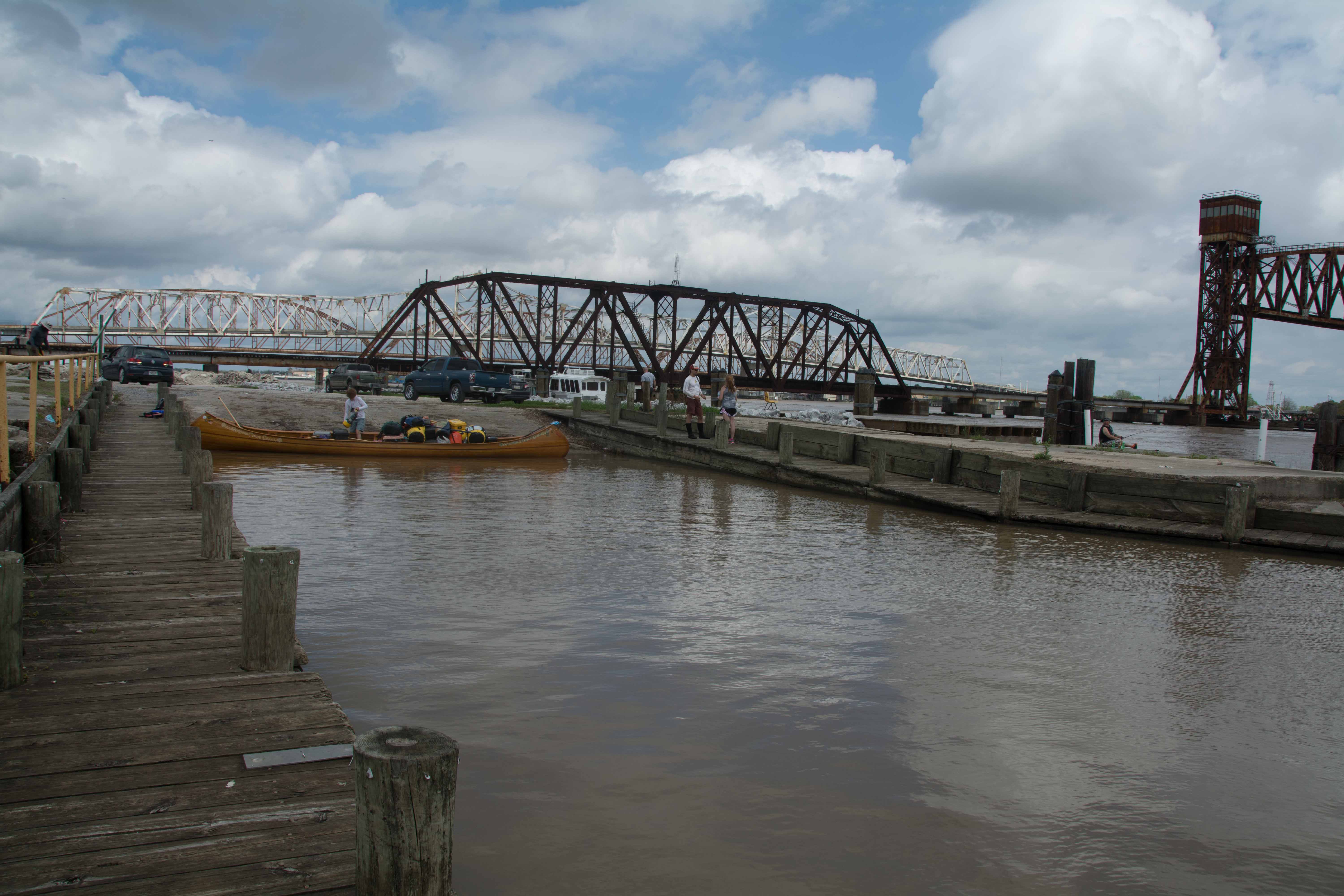
The Lower Mississippi River Water Trail
Which Pass?
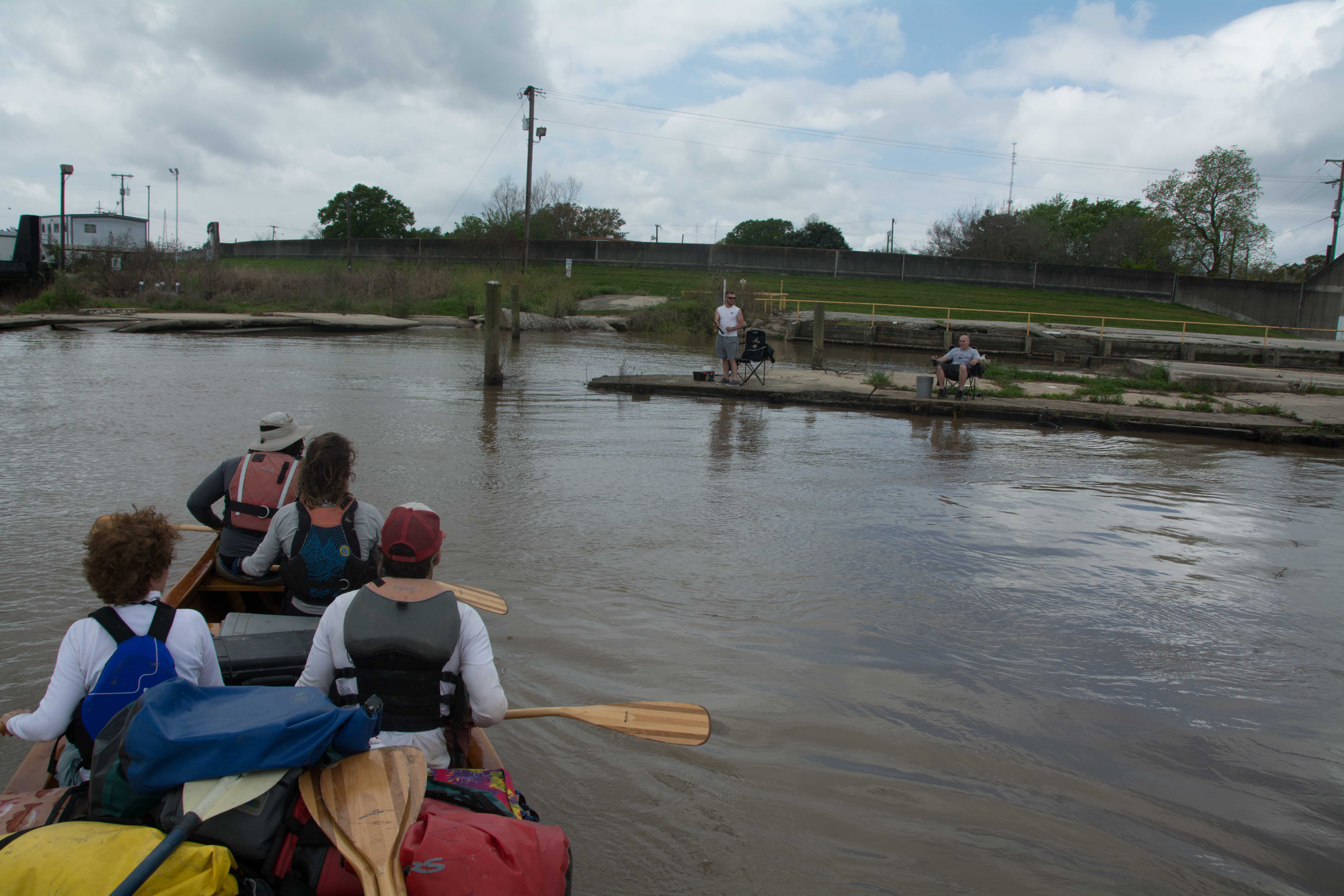
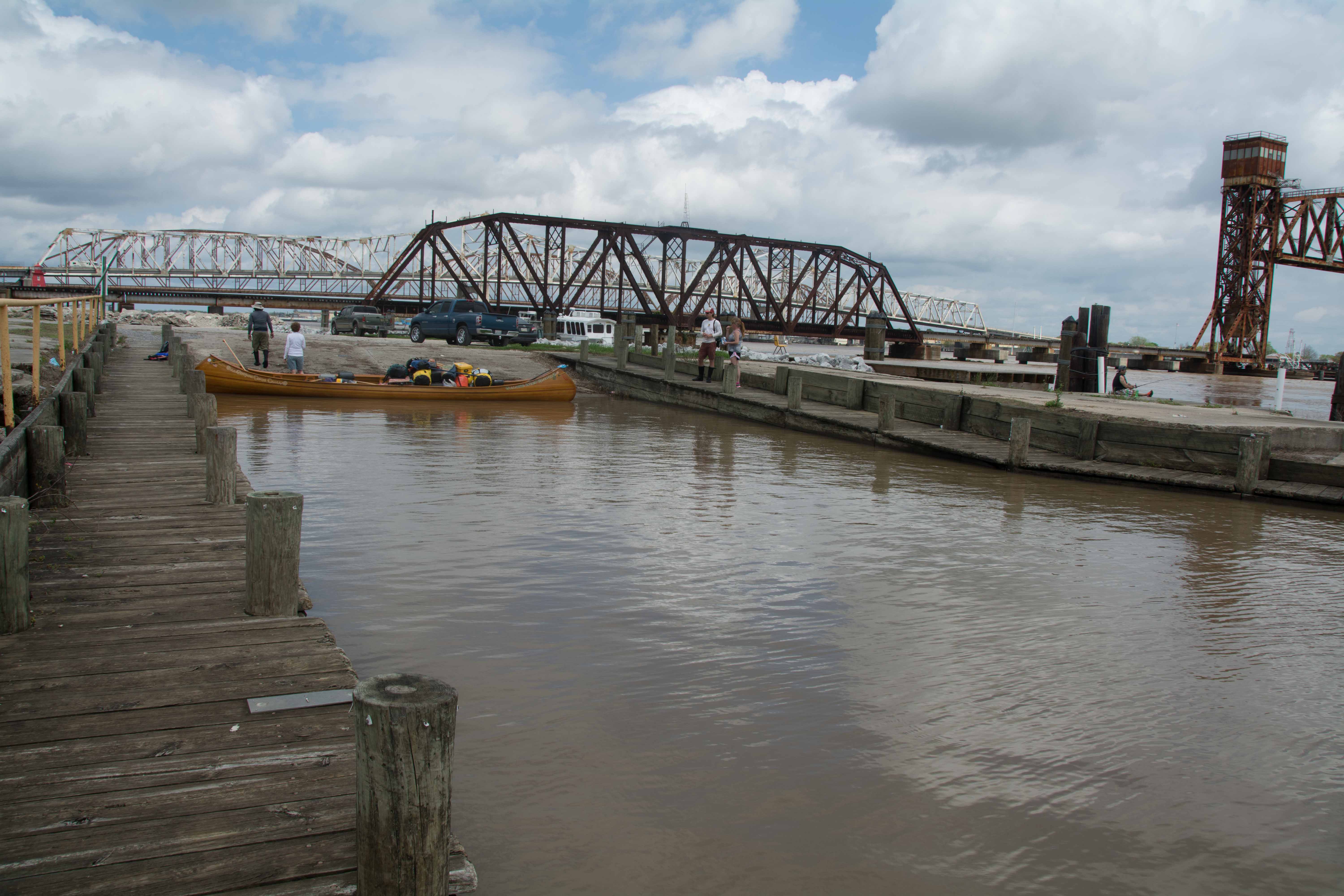
You are nearing the end of you expedition, and some fore-planning is in order. Where exactly is the end of your long journey: New Orleans? Sure, you could end at New Orleans. Many expeditions do, but New Orleans is about 100 miles upstream of the actual end of the river (depending on route). Venice? Well maybe, but Venice is just the end of the road, not the end of the river. Venice is West Bank at mile 10. Venice is where you should tell your family or loved ones or whoever to meet you and pick you up for your return to civilization. Most expeditions take out at Venice after paddling to the open waters of the Gulf (and then catching a powerboat ride or paddling back). Mile 0? No, the river splits 3 ways at Mile 0. The muddy water keeps flowing beyond Mile 0 at least a dozen miles depending on your chosen route. Okay then, where? Well, you will have to chose and then follow one of the many passes to reach the open salty water of the Gulf. Most paddlers seem to favor South Pass in recent years, although there are many other untried routes, and most are not reported on. This paragraph is written to help you think about and then decide which Pass to follow.
The Mississippi begins sluffing its muddy waters off into the Gulf at least 44 miles above Mile 0. Mardi Gras Pass is the first unobstructed opening, and is found on the East Bank at mile 44LBD. In the miles that follow more passes open up, and with them more and more opportunities to reach the end of the river. It’s not until Baptiste Collete Bayou (opposite Venice) that the big river reaches its biggest passes, the ones that are seen on maps of Louisiana, and define the recognized terminus of the big river. This end of the big river valley is known as the “Birdsfoot Mississippi Delta” because it looks kind of like an osprey’s foot with each of its talons reaching outwards as it dive bombs its prey. A fitting metaphor for you, dear paddler, as you follow one of these claws in your final efforts to the end of your quarry: the open Gulf waters!
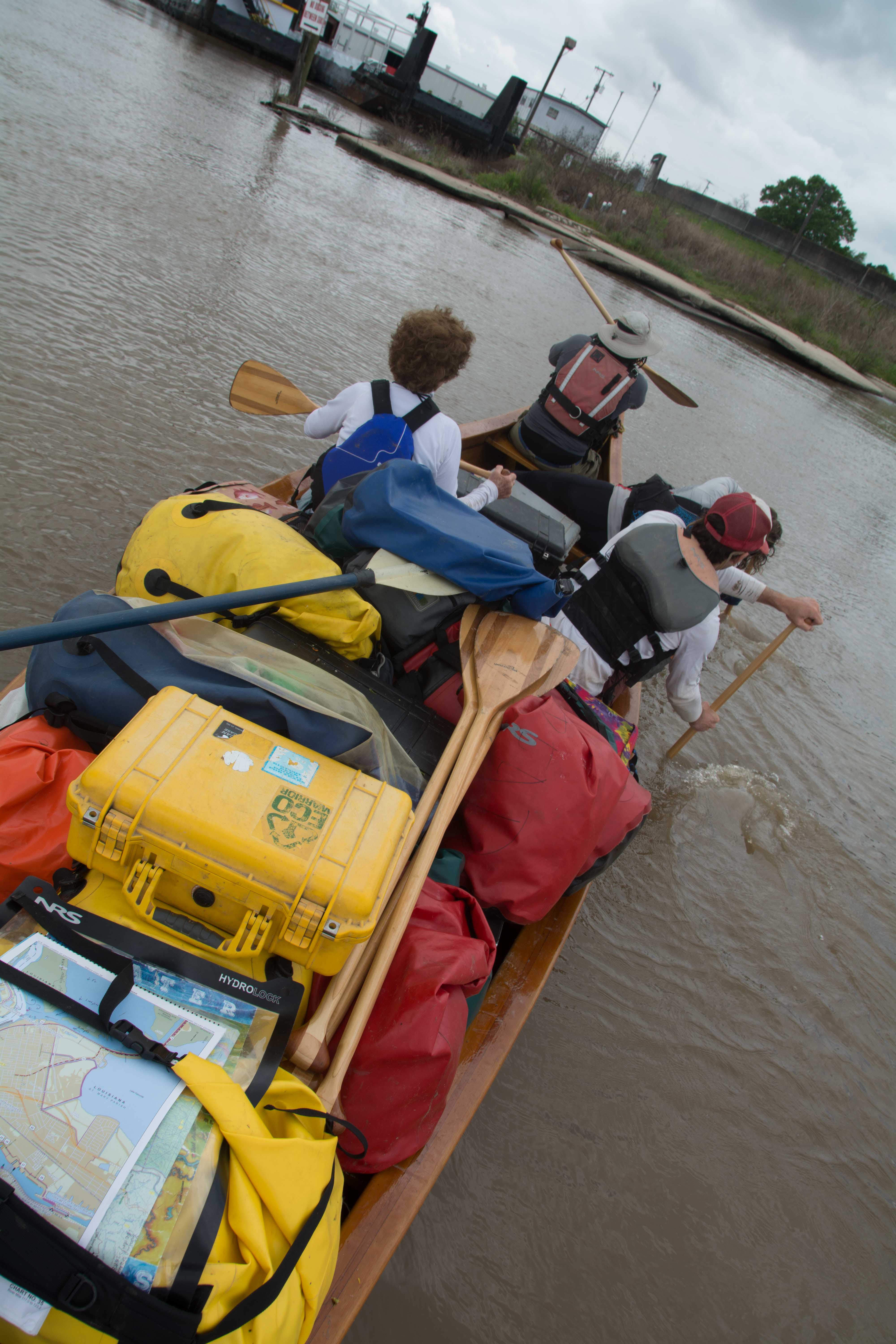
The Birdsfoot Mississippi Delta splits into a myriad of Channels, Canals and Passes, first with Baptiste Collete Bayou, then Tiger Pass, then Cubit’s Gap, but the majority of the volume flow continues southwards, seemingly unchanged by these gaping holes in the bank (Cubit’s Gap is about a mile wide!), and then at long last reaches Mile Zero, the ultimate crossroads. The river spreads out over a mile wide here, and then divides three ways at Mile 0: South Pass, Southwest Pass, and Pass a Loutre. Like tree branches reaching into the sky from the forks of the tree trunk, each of these passes further divides into smaller and smaller passes and outlets, which further subdivide as they continue outwards, and then maybe again and again, in a classic example of fractal geometry. And the pattern gets further broken up by straight line pipeline canals cut by oil companies. Gradually in infinitesimally slow degrees the current slows down, and the choices multiply, until you clearly smell brackish waters, then crusty salty waters, and catch glimpses of the open blue beyond the reeds and canes, and the finally take one last turn through one last opening and your vessel rolls into waves not created by freighters or tows, or river winds, but by atmospheric motions and global circulations of the open ocean. And finally, finally, finally, after months of hard paddling you are there!
Which of these passes you follow depends on personal judgement, stamina, and the weather forecast. If your ultimate destination is the first salt water you can find (and you have no romantic attachment to Venice) then you could take the newly carved Mardi Gras Pass (44 LBD). A gentle paddle down Mardi Gras Pass and into the Back Levee Canal and then down Law Bayou will bring you to endless grassy marshes (two miles from the main channel Mississippi). Paddle another two miles into Law Bay to reach the open waters of the ocean. Technically you will have followed the muddy Mississippi to the salty waters of the Gulf of Mexico. You could call your expedition complete and no one could second guess your decision. I was with an Canadian expedition that followed the Olga Pass (16LBD) and was completely satisfied with that ending as a completion of their 104 day expedition. The only possible drawback to these early passes that I can see is that there are no beaches here to enjoy your journey’s end from. The only place to stop and get out of your cramped kayak (or canoe) would be an abandoned oil derrick or one of the grassy hummocks that are half floating in the remaining sediment of the Delta. With an extra day or two of paddling, and then add on a last day for an overnight camp, and a day for the return paddle, and you could be celebrating your successful odyssey on a sandy beach covered with seashells, and your joy would be magnified by the many crabs, fish and birds there to help celebrate! What are an extra 2-3 days when you have been on the water 3 months already?
The Joy of Reaching the Gulf
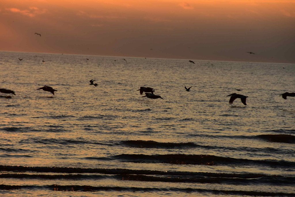
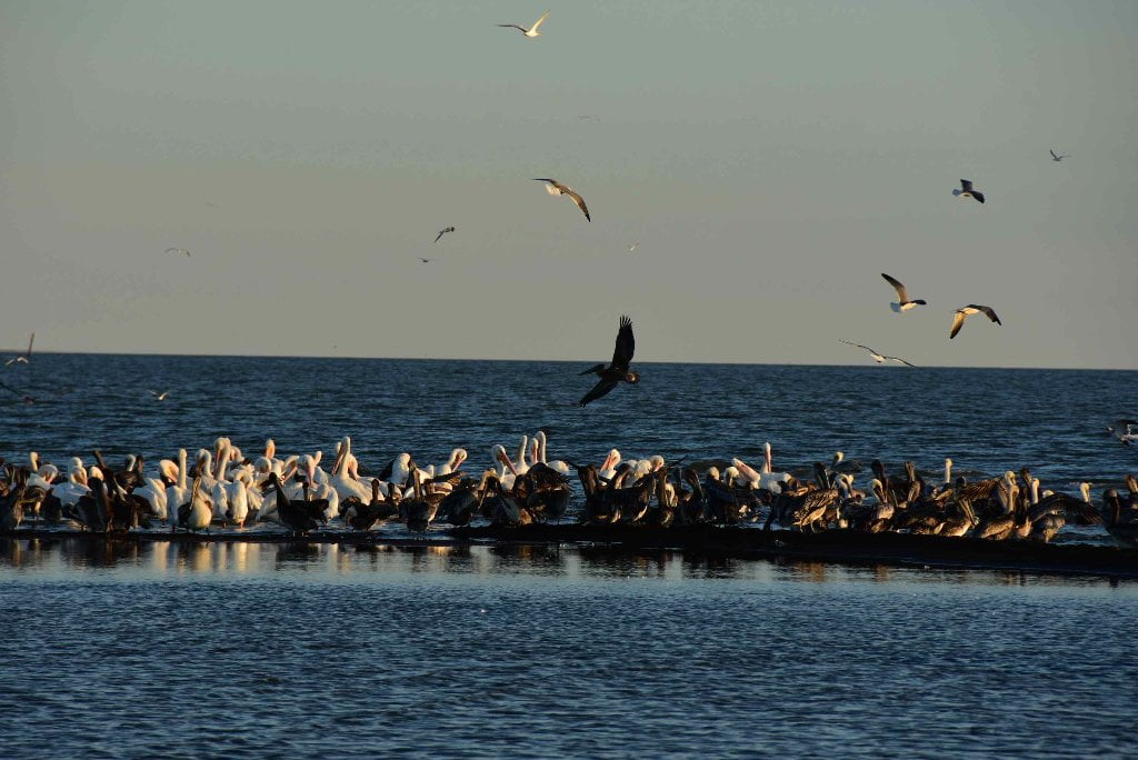
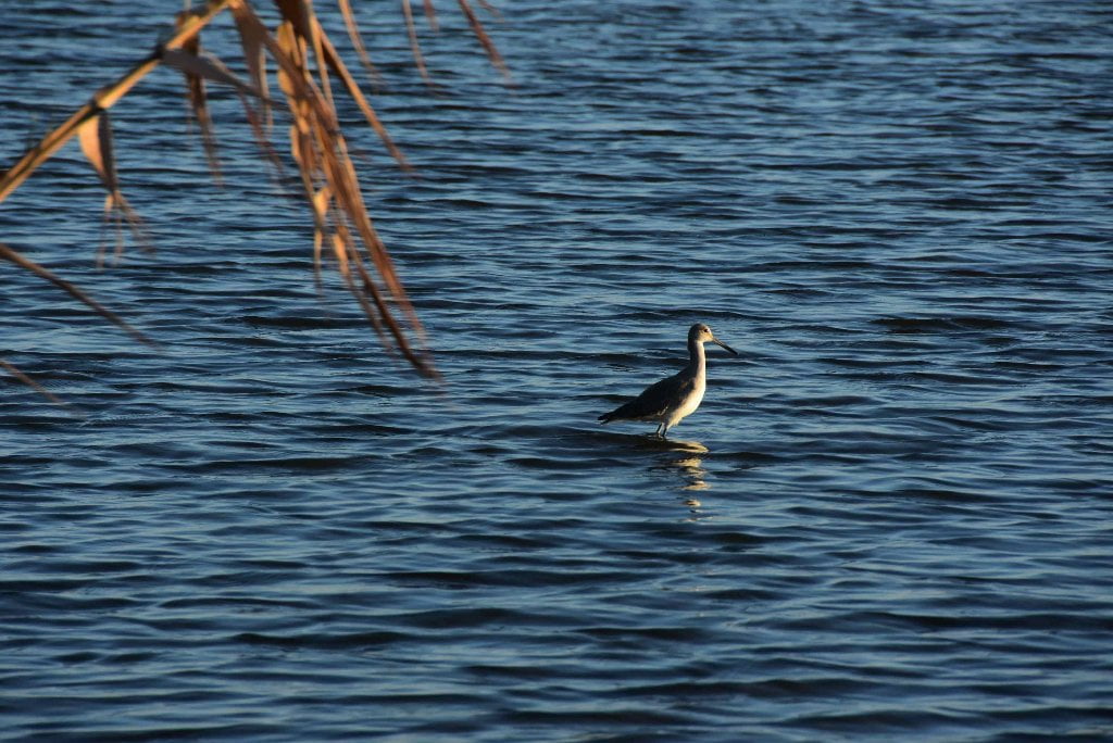
South Pass is the most popular route to complete the river. Imagine: it’s a calm day as you joyfully paddle down the full extent of the South Pass over 14 miles from Mile -0- and past the end of the East Jetty one mile from shore, something you would not be able to attempt in high winds or rough seas. As you paddle past the last pile of rock you will find yourself deep into the Gulf of Mexico with the full feeling of the ocean around you. Land is now a long line of green behind you, to the North. You are there. Nothing now between you and South America. If you were a songbird making its annual migration, you would feel similar elation. Congratulations paddler! You’ve made it! Flocks of brown pelicans, white pelicans, terns, sheerwaters, and other shore birds seem to share in your joy laughing and screaming and crying over the water and waves. You might see dolphins leaping along with your bounding heart and participating in the happiness and satisfaction of completing the long journey. Turn around only when you have fully delighted in the pleasure of the finish line, and paddle back the same way you came, or head in at a diagonal to one of the nearby beaches. If it’s a calm night, you can enjoy a night of camping on an ocean beach. The last night of your month’s long odyssey. You might as well drink it up to the fullest extent you can. This opportunity will not come again easily for the remainder of your life.
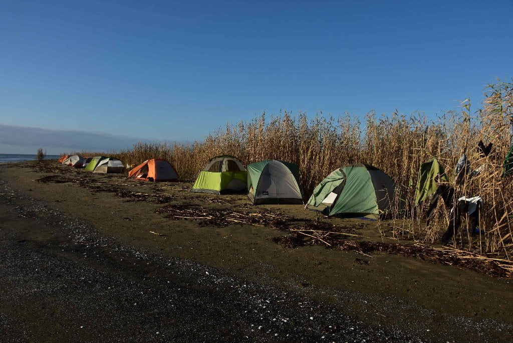
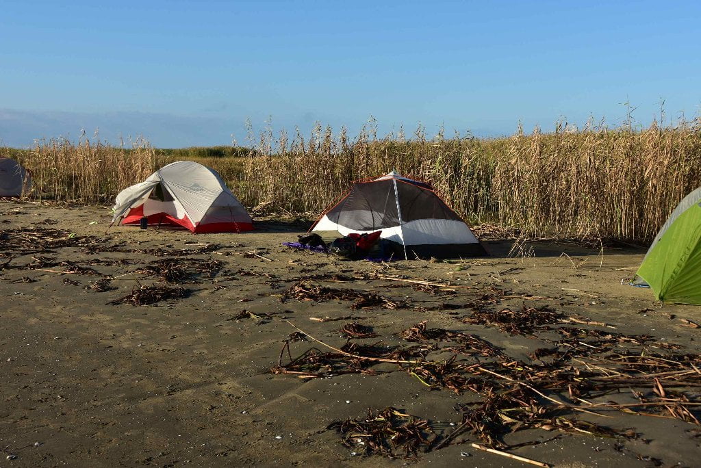
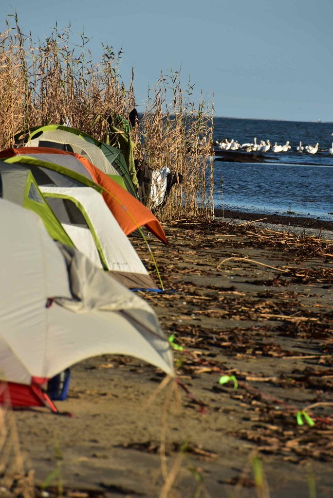
Camping on the Gulf at the end of the Passes
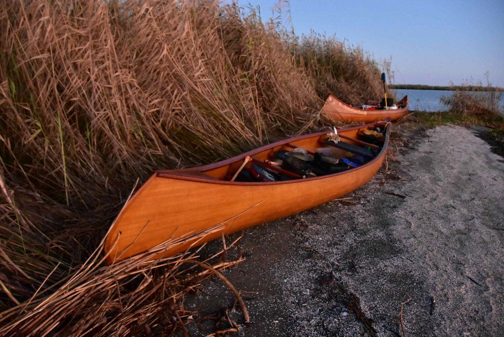
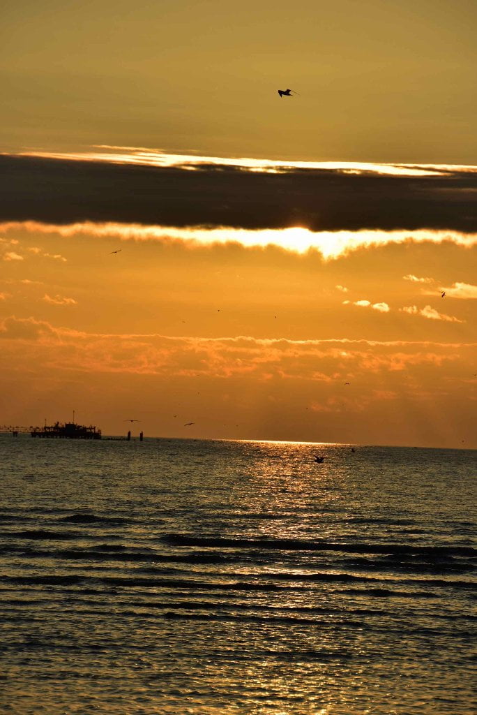
Many Mississippi paddlers plan their last day as a round trip from Venice, usually involving a return trip via powerboat. But why not slow down and spend a night or two at your much-anticipated final destination, the beautiful Gulf of Mexico? It seems a loss to have paddled in and out of several months and several thousands of miles to miss this golden opportunity you have very dearly paid for! Unless the wind is contrary, or there are incoming severe storms, or a hurricane, the Rivergator recommends adding at least one more camp to your itinerary, and that is a beach camp on salt water. You can find suitable beaches at the end of both South Pass, Pass a Loutre and Southeast Pass. Keep reading and make your preliminary plans for the grand finale of your expedition.
The Best Gulf Beaches
If you are uncertain about how to do it, and want some advice, here it is: the Rivergator recommends going down one of the big passes and ending on an ocean beach. To us, the best beaches are the best places to properly celebrate the end of the greatest river in North America! And these best beaches are found at the end of the major passes flowing outwards deep into the Gulf. Ocean beaches only form in places that periodically receive big waves, so they tend to be found in exposed places, with open water views not obstructed nor protected by surrounding islands, peninsulas, or marsh. These places are also most subject to high winds and extreme weather, so you have to be careful about deciding if it’s safe or not. In general, if the wind is blowing 15mph or higher our of the south you should avoid these places, or prepare to be trapped on them until the wind shifts. The best beaches are found at the end of Bienvenue Pass (via Main Pass), Pass a Loutre (and its splinter Southeast Pass), South Pass, and finally Southwest Pass. See below. Southwest Pass receives the most flow, but is also crowded with freighters and the most dangerous. It is not recommended unless you are craving some harrowing adventures at journey’s end! South Pass is the quickest and most obvious route, with extensive beaches all around its mouth. Most paddlers seem to favor South Pass in recent years. South Pass also features a newly built lodge where paddlers can find accommodations and food! Southeast Pass is an enticing route; completely contained by a State Wildlife Wildlife Management Area, it is quieter than the others, and full of bids and other wildlife.
Warning: even though beaches can be found at their terminus, paddlers will want to avoid Baptiste Collete Bayou and the Southwest Pass for their constant traffic and very large and aggressive waves, which become compounded nearer to the open Gulf waters. For this reason, the Rivergator recommends avoiding both Baptiste Collete Bayou and the Southwest Pass!
Empire: another upstream alternative: you could lock through at Empire and enter Adams Bay or Bay Pomme d’Or and paddle across several miles of open water to reach the sandy barrier islands south of Empire-Buras. Only possible on calm days with no threat of storms. The Empire Lock & Dam is very busy, so expect lots of commercial traffic, especially fishermen, if you follow this route.
Open Water of the Gulf?
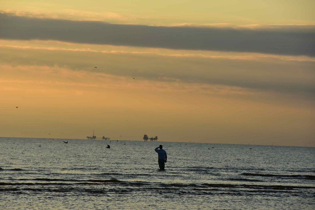
Dear paddler, when you reach the ocean you are probably expecting to be rewarded with a wide open view with a refreshing clear-sight view over the face of the earth towards the Yucatan Peninsula of Mexico or Cuba. You will have at least on disappointment here. Don’t be dismayed when you discover that the ocean horizon is thick with derricks, platforms, wells, (and many abandoned relics of the same), and supply vessels and crew shift helicopters overhead.


Leave A Comment
You must be logged in to post a comment.