The Lower Mississippi River Water Trail
LiNKS = Leave No Kid on Shore
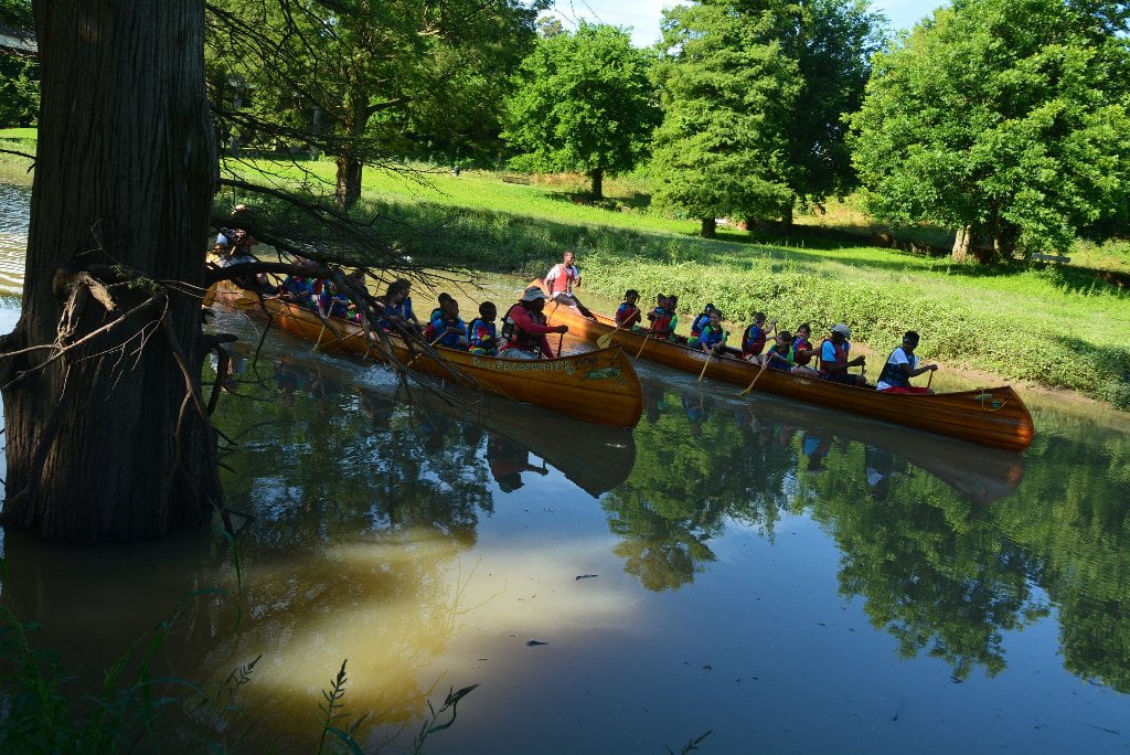
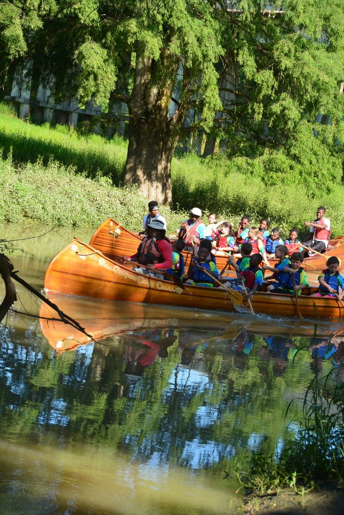
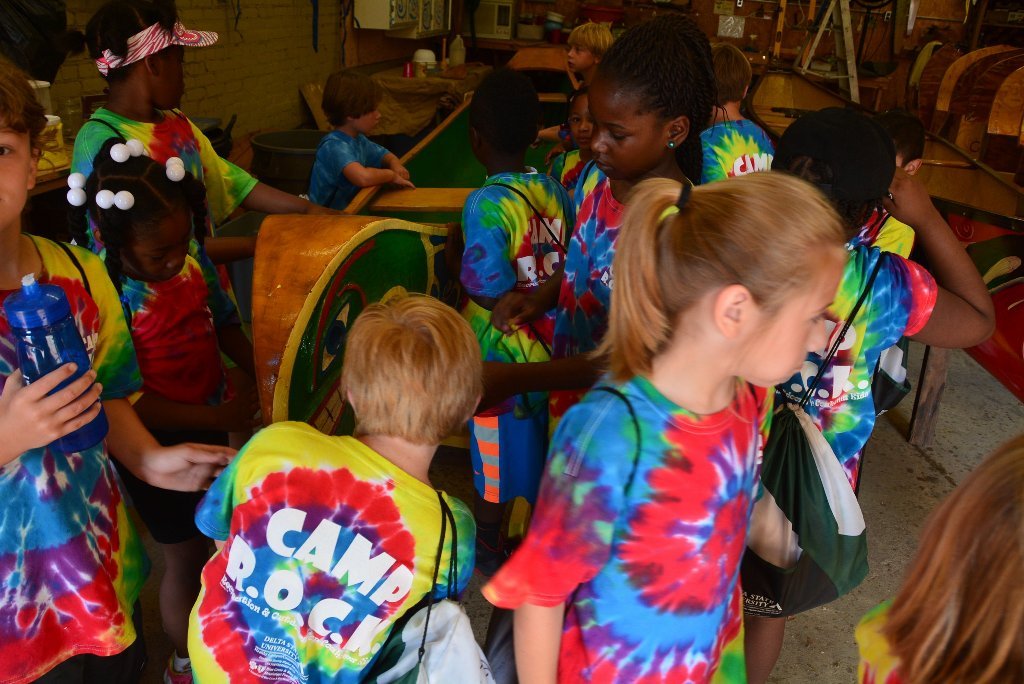
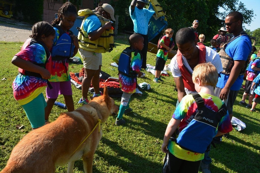
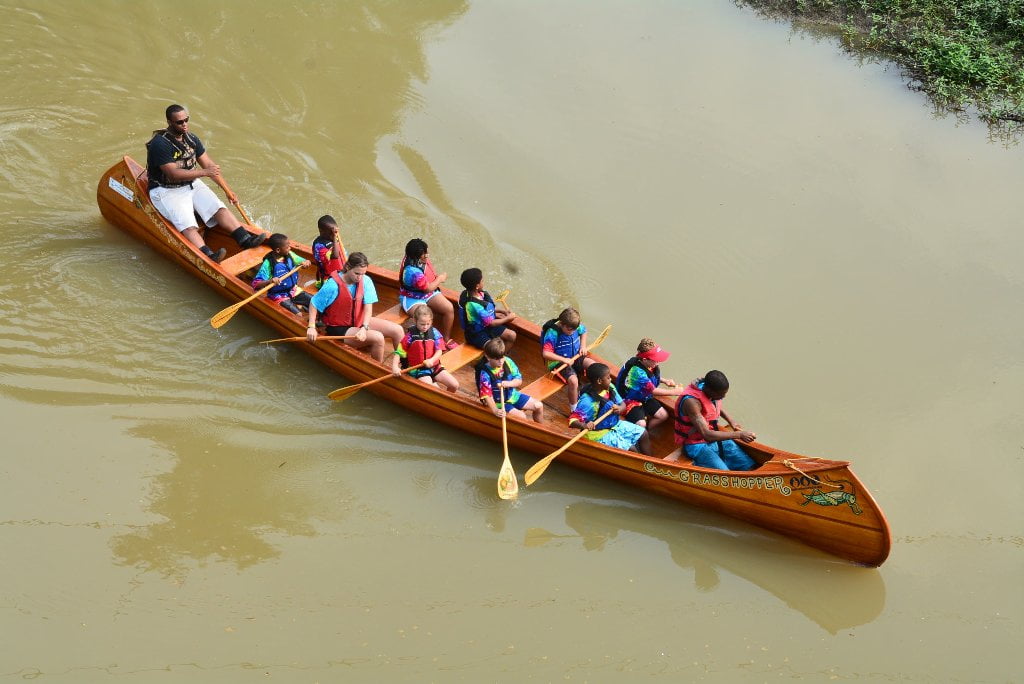
Leave no Kids on Shore (LiNKS) is an after-school environmental conservation/stewardship program for youth from the Lower Mississippi Valley to learn the skills of carving canoes, safe paddling on the big river, and wilderness survival. This is a continuation of the successful Mighty Quapaw Apprenticeship Program which has been active since 1998. LiNKS will focus on long-term solutions over short term fixes, in particular by applying long-term attention to our youth, and fostering mentorship relationships that last a decade or longer. LiNKS is all about self-knowledge, personal health, character development, leadership, team skills, and learning to overcome challenges. Skills gained in first year will lead to self-confidence and self-knowledge and lay the foundation for future leadership skills and summer jobs in Lower Mississippi Valley eco-tourism opportunities. Skills include 1) sharpening: learning to hone carving tools razor sharp; 2) carving: learning to carve canoes with the axe, the adze, the scorp & the hand plane; 3) canoeing: learning to steer canoes using the c-stroke, j-stroke & ruddering; and 4) wilderness survival: camping skills including building a fire, setting up a tent in a rain storm, and cooking. Each skill is a rung on a ladder leading to become a confident outdoorsman or outdoorswoman. Each skill learned prepares students for next challenge (i.e. learning to steer leads to safe river navigation leads to becoming a group leader; learning to sharpen a tool leads to mastering a carving tool leads to self-confidence). The Mississippi River, the Helena Harbor and Buck Island are the classrooms for all canoeing activities. Canoe carving takes place in the workshops in and around Quapaw Canoe Company in Clarksdale, Mississippi, Helena, Arkansas and Memphis, Tennessee. LiNKS meets 4-6pm four times per week during the school year with once a month all-day field trips and an overnight canoe-camping adventure every spring and fall, in all involving 650 youth. A summer program will be conducted mornings during the week 9-10am for 6 weeks for 100 youth. Rewards Program: In March 2016 two youth will be chosen to participate in the 2-week scientific/educational circumnavigation of Big Island (20,000 acre island at the confluence of the Mississippi, White, and Arkansas Rivers). In the Summer of 2016 two LiNKS participants will spend 2 weeks rafting down the Colorado River through the Grand Canyon. In 2016 we will provide 750 youth with experiences on the big river with the main goal of creating future environmental stewards who can care for, protect, and enjoy the Mississippi River and its Mississippi Delta floodplain for generations to come. What good is it protecting the forests if we don’t also populate the woods with ethical users? If we don’t use it, we’ll lose it. If our kids don’t use it, we’ll also lose it. LiNKS will engage Mississippi Delta Youth for river-based conservation by creating 1) real experience in the outdoors with 2) real conservation practice with 3) young men and women from severely distressed neighborhoods (focusing on black males ages 13-21). LiNKS will offer high-quality learning experience outside of the traditional school year that supports low-income students over the course of their Pre-K–12 academic careers. LiNKS will create environmental stewards amongst the next generation and simultaneously help protect the forests and wild landscapes of the Lower Mississippi. It will enable participation amongst demographic groups who are not enjoying the same access as others. LiNKS will foster a young and upcoming community who will conscientiously use these landscapes in a sustainable fashion for a lifetime of good conservation and recreation. Contact:
LiNKS/Leave No Kid on Shore
John Ruskey, Director
Lower Mississippi River Foundation
291 Sunflower Avenue
Clarksdale, MS 38614
john@island63.com
Cave: 662-627-4070
Cell: 662-902-7841
© 2015 John Ruskey
For the Rivergator: Lower Mississippi River Water Trail
www.rivergator.org
The www.rivergator.org is a free public use website
presented by the Lower Mississippi River Foundation.
Re-printing of text and photos by permission only with proper credits.


Leave A Comment
You must be logged in to post a comment.