The Lower Mississippi River Water Trail
-2 RBD Cheniere Pass
Cheniere Pass flows southward approximately eight miles parallel to South Pass, and ends up in the Gulf two miles behind Port Eads in Garden Island Bay. Along the way several splinter passes peel off Cheniere Pass heading towards Redfish Bay.
-2.5 RBD Willow Clump
As you paddle down Pass a Loutre past the shallow islands you will notice a distinct clump of green of a darker shade than the surrounding greenery along the right bank descending. This is a clump of willows on a short hummock found just past the mouth of Cheniere Pass. If the hour is getting late in the day, and you might not make it to the Gulf beaches downstream, you might want to make this your bivouac. This will probably be the last piece of dry ground you will see on Pass a Loutre headed towards the Gulf of Mexico. Willow Clump would be a possible low water campsite, and would be an excellent spot for a hammock camp regardless of the tides or river water levels.
-4 to -5 RBD Wetlands
The Pass a Loutre widens here as it flows around a bird and fish filled wetlands, right bank descending.
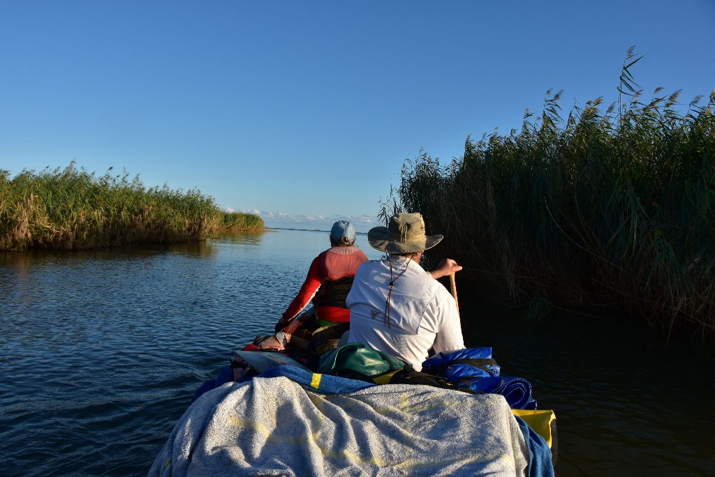
Southeast Pass splinters off Pass a Loutre to the southeast in a smaller channel lined by cane marshes and a few clumps of willow. See below for continued description.
-6 LBD Muddy shallows
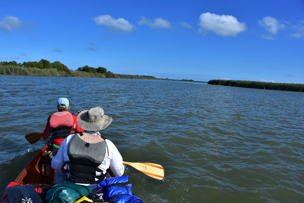
Paddlers will encounter muddy shallows on either side of the Pass a Loutre from here on out to ocean. Use your well honed river-reading skills to avoid!
-7 RBD Muddy shallows
-9 LBD Muddy shallows
-11 LBD Disappearing Banks
From here down to the Gulf the Pass a Loutre left bank is fast sinking into the Ocean due to disappearing lands and rising oceans.
-12.8 LBD North Pass Island
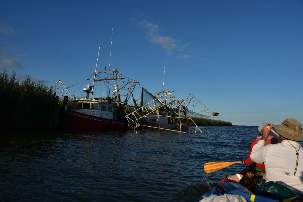
Pass a Loutre opens up to a mile wide and splits off left bank into North Pass. Paddlers will find the best beaches on the ocean side of North Pass Island. Go to Google Mpas to decide best route and preferred beach location. There are some old oil and fish (?) camps located RBD towards the end of North Pass.
-15 North Pass Island Beaches
The beaches at the end of North Pass Island would make a good place to make your last camp of your expedition (if the weather is good). In inclement weather, approach island from backside. Celebrate your arrival. And then turn back for higher and safer ground elsewhere. The easiest approach to the best beach is from the south side of the island via right hand fork of the main channel Pass a Loutre. The waters ocean side are very shallow, another good reason to make your landing from the backside.
Southeast Pass
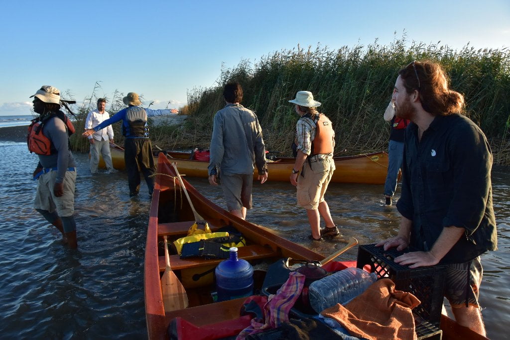
Five and a half miles down Pass a Loutre the Southeast Pass splinters off to the southeast, and offers an enticing route to the Gulf. There is some noticeable flow entering SE Pass, but it’s a little slower than what you experienced in Pass a Loutre. Southeast Pass is completely contained by a Pass a Loutre State Wildlife Wildlife Management Area, so you might see fishermen and hunters (especially during duck season), and is brimming full of birds and other wildlife.
-5.5 RBD Mouth of Southeast Pass
Southeast Pass splinters off Pass a Loutre to the southeast in a smaller channel lined by cane marshes and a few clumps of willow
-7 RBD Pass a Loutre State WMA Picnic Area
At mile -7 a shelf of mud has been deposited on the right bank descending of Southeast Pass that is the last dry land until you reach Southeast Pass Island. A boat dock has been placed here, with a grassy park above and a picnic table. This would make for a good picnic spot, and a possible place to overnight.
-12.5 Channel Splits
The water current slows considerably, and then seems to calm completely as the channel forks around Southeast Pass Island. Paddlers could go either direction here, but the best access to the beaches on the other side of the island would be the left-hand fork. Follow the left fork until you see an opening to the right leading to the open waters of the Gulf. Paddle out into the ocean and celebrate with the thousands of gulls, terns, and other shorebirds that congregate in this wind-blown place.
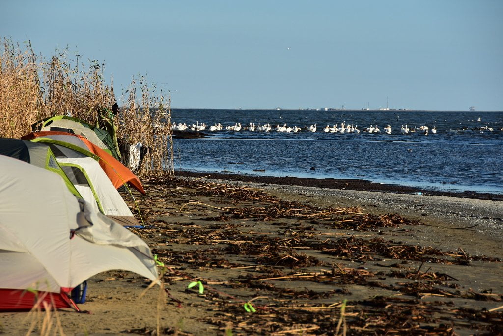
-12.5 Southeast Pass Island
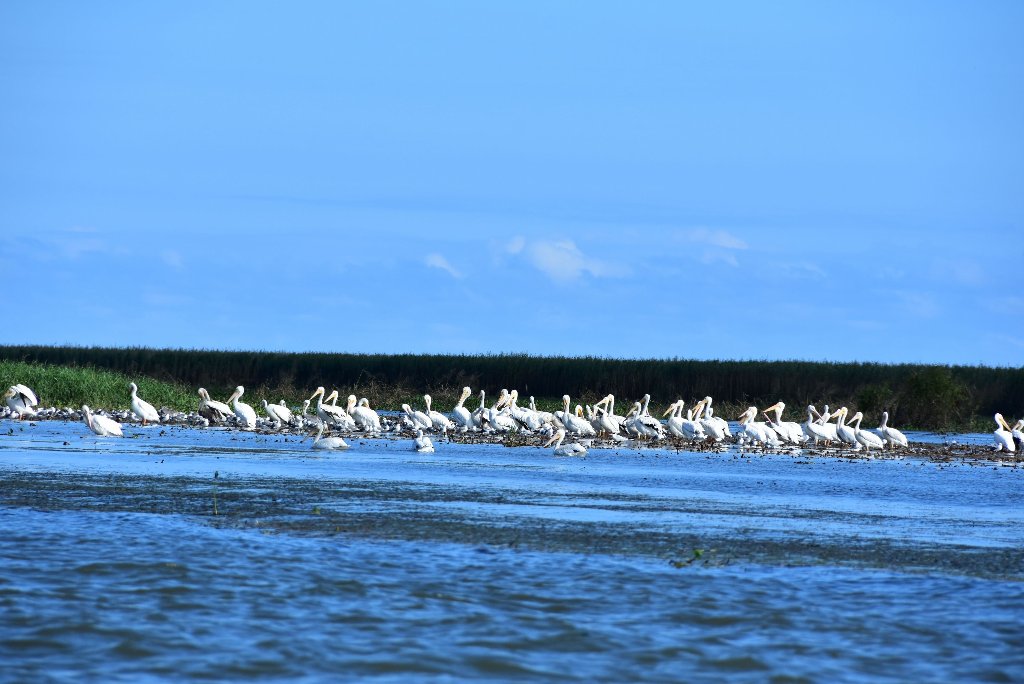
You can camp on the shell-strewn beaches of South Pass Island, but check tide forecasts, and make sure there aren’t any approaching storms or high winds out of the east or south. You might see coyote tracks along with blue crabs. The pelicans flock on either end of the island.
Dear paddler, when you reach the ocean you are probably expecting to be rewarded with a wide open view with a refreshing clear-sight view over the face of the earth towards the Yucatan Peninsula of Mexico or Cuba. You will have at least one disappointment here. Don’t be dismayed when you discover that the ocean horizon is thick with derricks, platforms, wells (and many abandoned relics of the same), and supply vessels and crew shift helicopters overhead. Amazingly, the birds and other wildlife seem not to care about the cluttered horizon, but carry on their daily life cycles and long distance migrations regardless.


Leave A Comment
You must be logged in to post a comment.