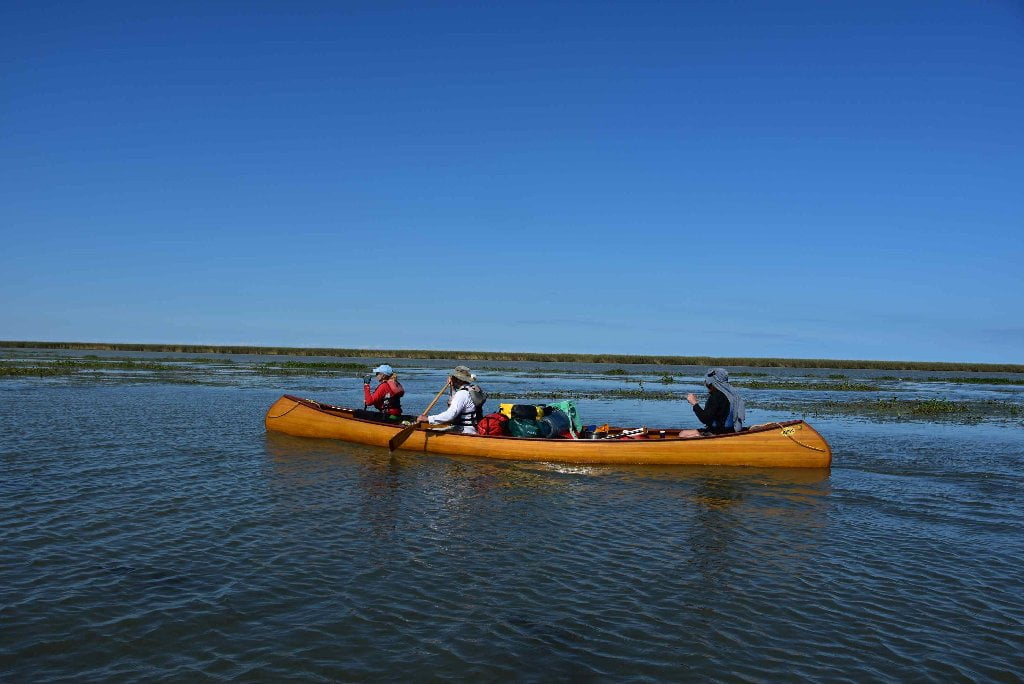
The Lower Mississippi River Water Trail
Rivergator:
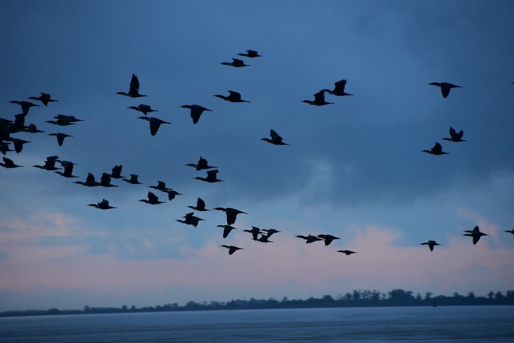
Birdsfoot Delta:
Venice to Gulf
MM 10.5 to Head of Passes
Mile Zero -0-
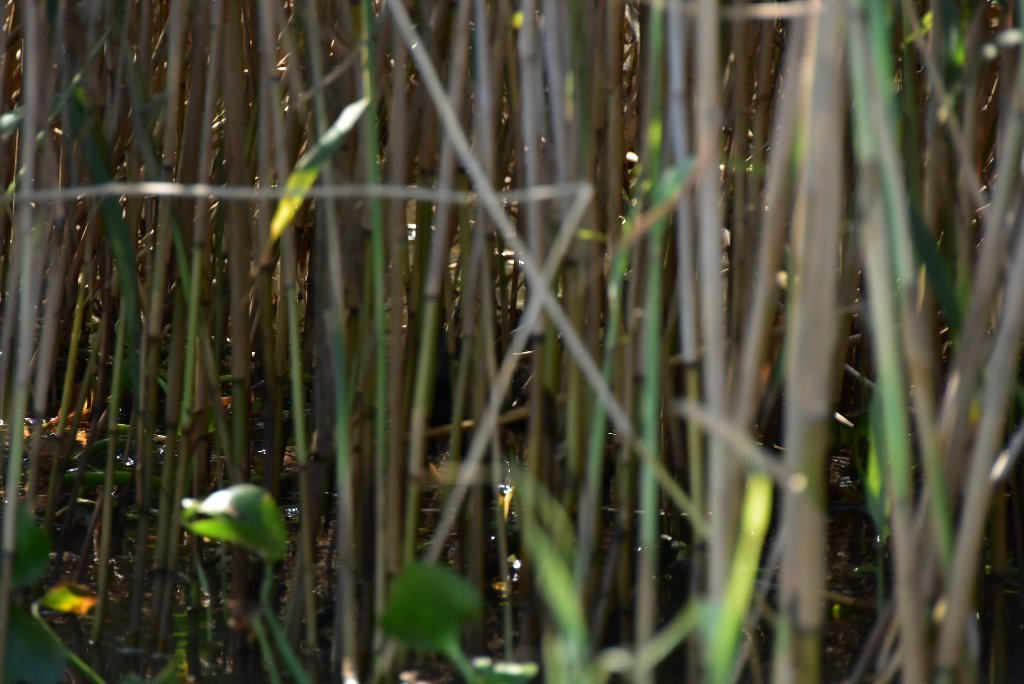
Describing all Passes
and Possible Routes to Gulf
Venice Gage
The best time to paddle to the Gulf is during low or medium water levels (0-2 on the Venice Gage), which usually occurs in the late summer and fall. This is excellent timing for long-distance paddlers, most of whom begin in Minnesota or Montana in May or June, and 3-5 months later are approaching the Gulf of Mexico. Annually the water levels at Venice typically peak during the spring flood season (April-July) and trough in the fall/winter (Sept-February), with intermediate changes in between. The lowest recorded water level was -.77 on Christmas 1989, and the record high was when Camille hit, on August 17th, 1969.
To see water levels and estimate river flow below Venice in the Birdsfoot Delta, use the Rivergages.com station readings for Venice:
http://rivergages.mvr.usace.army.mil/WaterControl/stationinfo2?sid=01480&fid=&dt=S
Water levels according to the Venice Gage (VG):
Low Water = 0 to 1 VG
Medium Water = 1 to 2 VG
High Water = 2 to 4 VG
Bank Full = 1 VG
Flood Stage = 4 VG and above
(VG = Venice Gage)
Flood Stage Warning:
If the Venice Gage is 4VG (at slack tide) or above the river is in advanced flood stage, and paddlers are advised to stay off the water. Above 4VG paddlers will encounter fast and turbulent water conditions, especially around docks, pilings, and when attempting any bankside approaches or landings. Very limited access. Most landings and approach roads will be underwater. Most islands will be gone. No dry camping will be found. All sandbars and ocean spits will be underwater. All islands will be covered by flooded forests full of snags, strainers, sawyers and all other dangerous conditions associated with floodwater moving through trees. Docks, wharves, dikes and any other man-made objects will create strong whirlpools, violent boils, and fast eddies. Towboats and workboats will create larger waves than usual. Freighters will have to push harder to get upstream which results in even bigger waves. The Rivergator will not describe the river and its islands at any levels above flood stage 4VG.
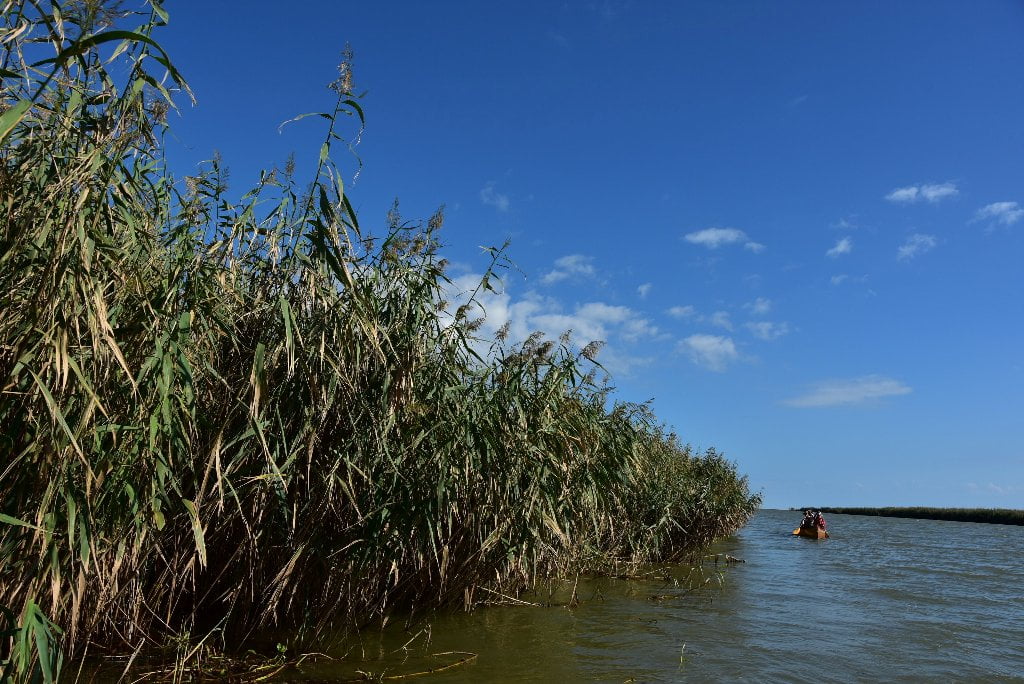
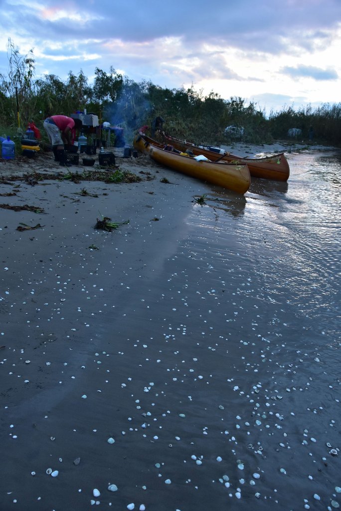
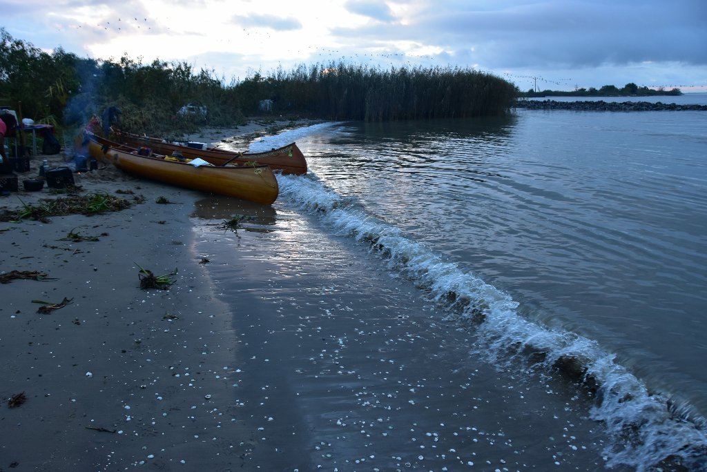
11.5 LBD Sandbars at Mouth of Baptiste Collette Bayou – North Side
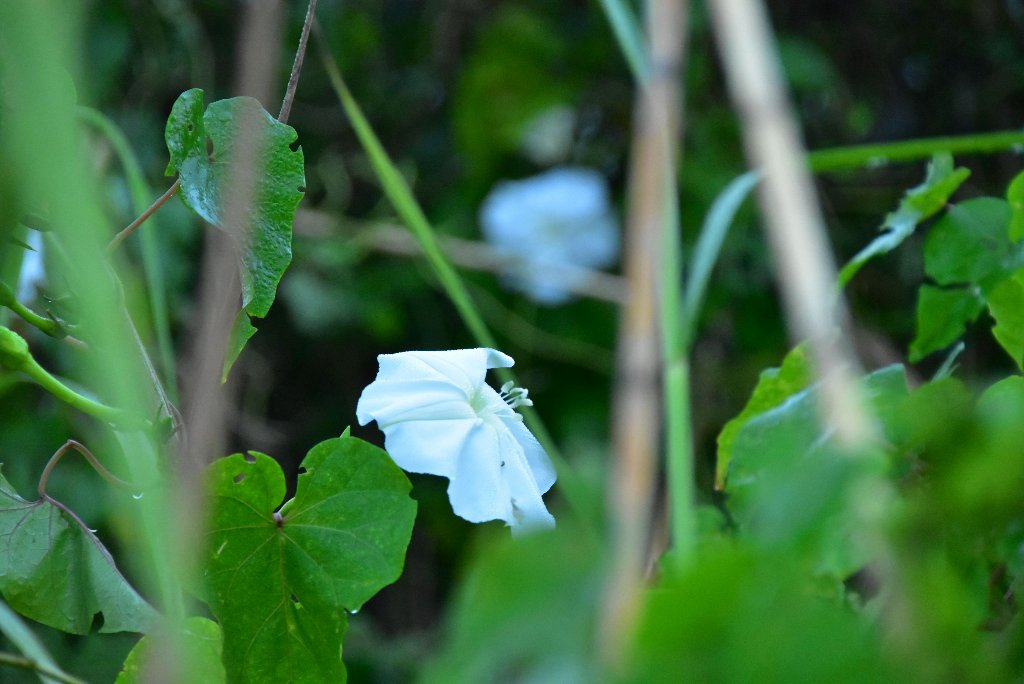
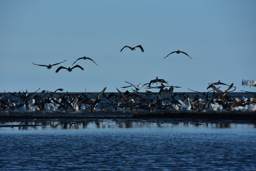
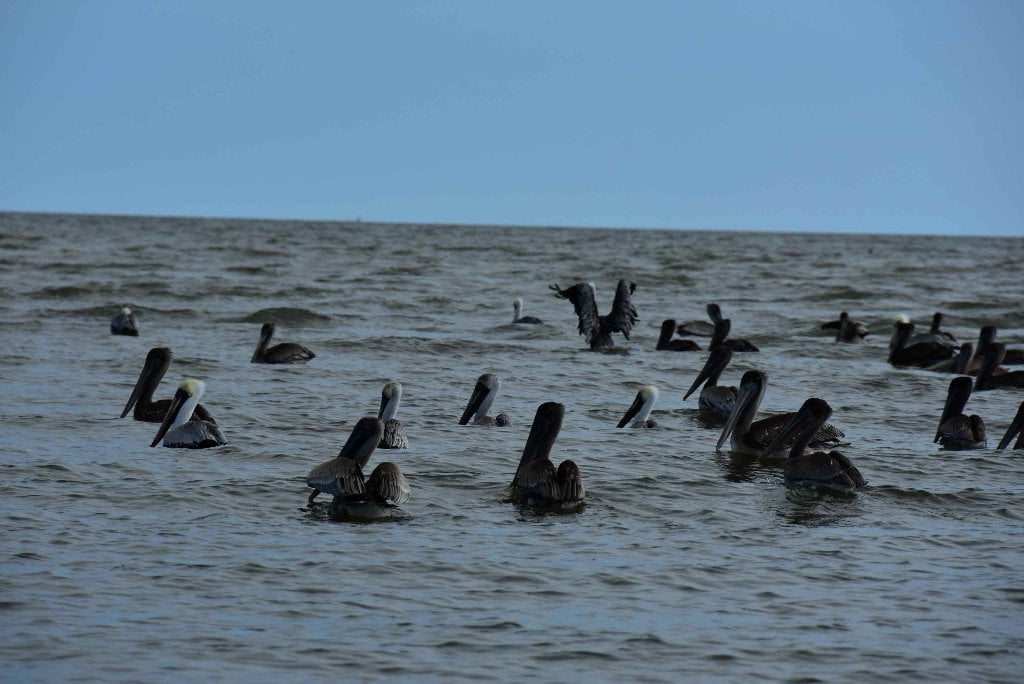
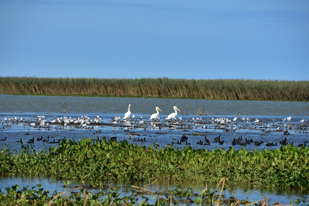
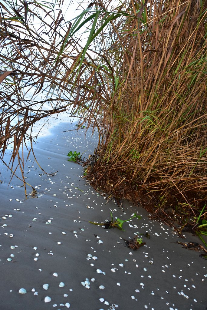
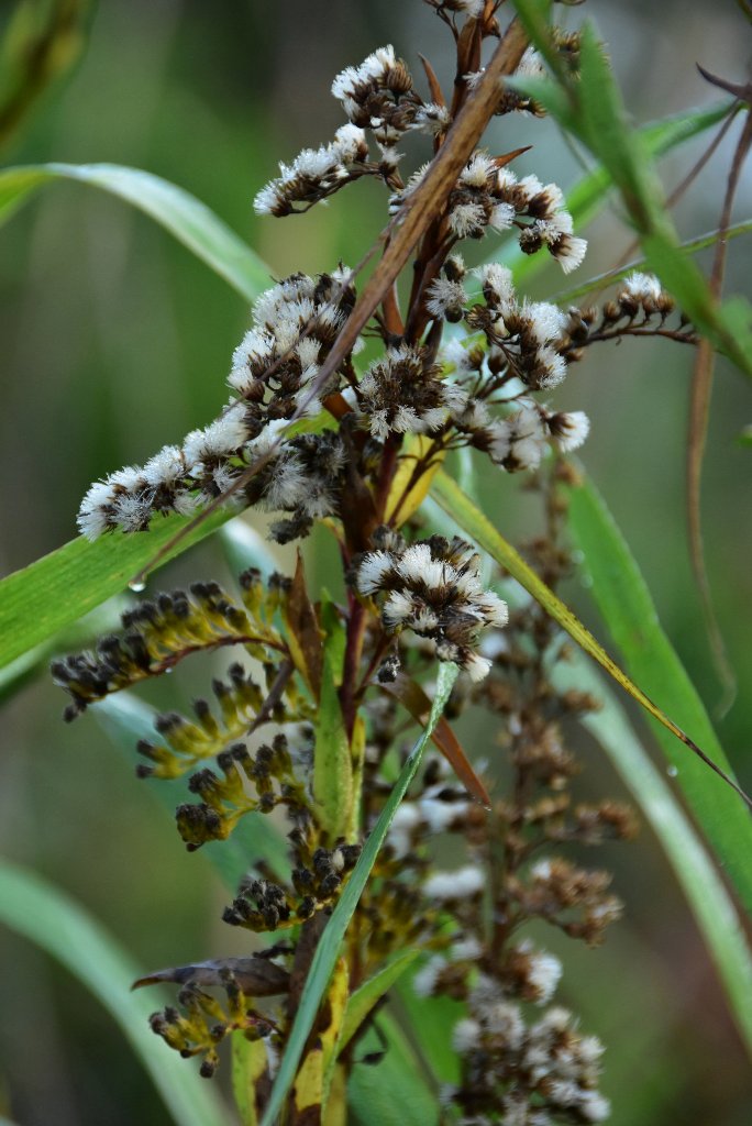
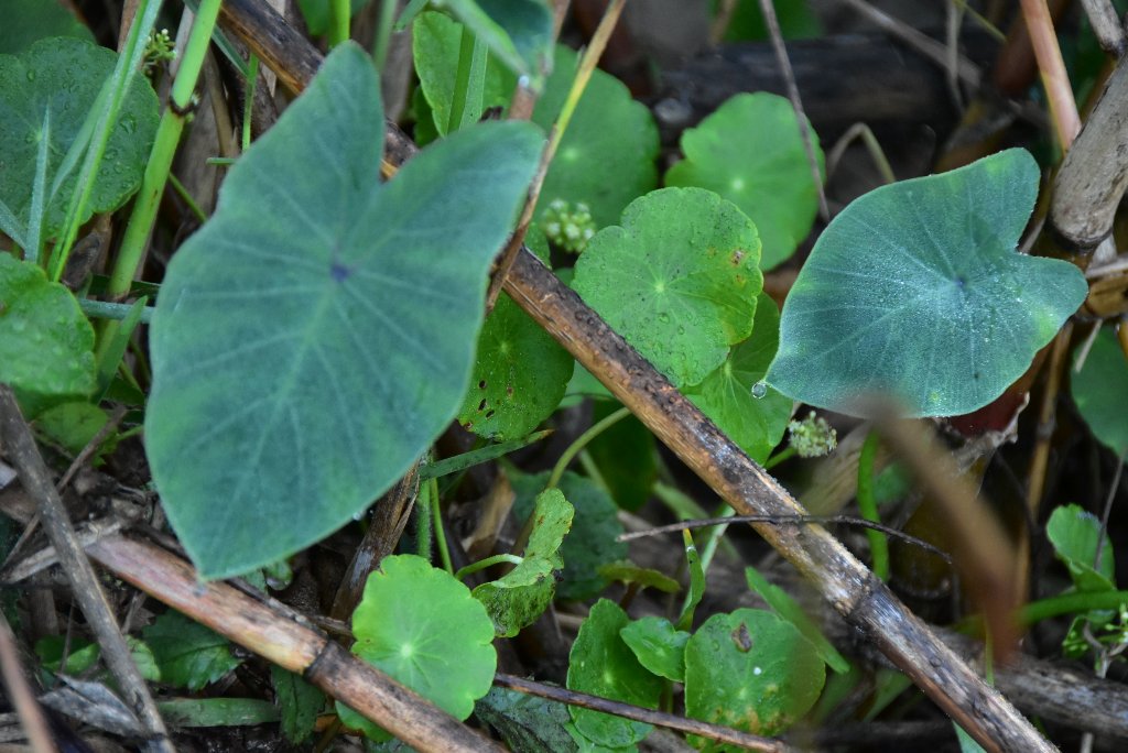
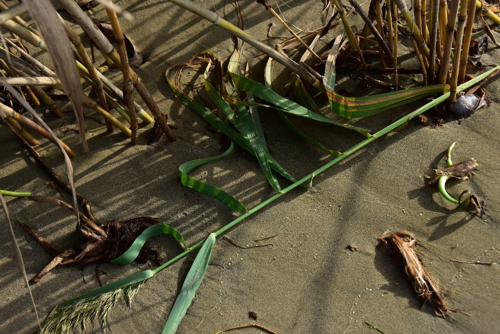
Several small sandbars form here at the north end of the mouth of Baptiste Collette Bayou LBD behind a protective wall of rock with safe camping up to 3VG. Great campsite for small parties with easy access to Venice, but watch out for wild pigs and numerous fire ant colonies in vegetation behind beaches. Best camping close to Venice. Rock dike forms protective harbor around sandy dunes in low water. Limited dry spots along inlet. Sand gives way to thorny briars, cane covered with moonflowers, and other thick shrubbery, fire ants below. Wild pig country, but also full of birds, and many rodents, including mice, rats and nutria.
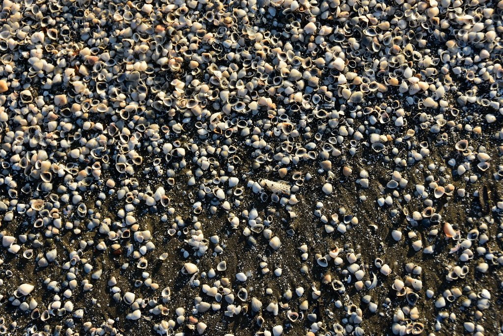
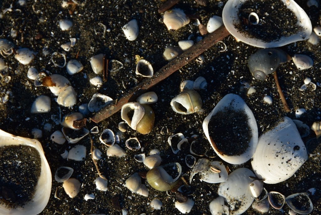
11.4 LBD Shell Beaches at Mouth of Baptiste Collette Bayou – South Side
Paddlers will discover several outcroppings of shells along the south shore of Baptiste Collette Bayou. Any of these would make an excellent campsite with dry and firm footing. The waves hit hard here, though, so make sure to pull your vessel completely out of the water and at least three vertical feet above water level. Best plan would be to pull your vessel up to the top of these seashell shelves and tie them to vegetation behind. Dry camps here possible up to 3 VG.
11.5 LBD Baptiste Collette Bayou
(9 miles to reach Gulf of Mexico. Heavy traffic. Not recommended.)
- Fimbel Pass
- Emeline Pass
- Heavy Traffic
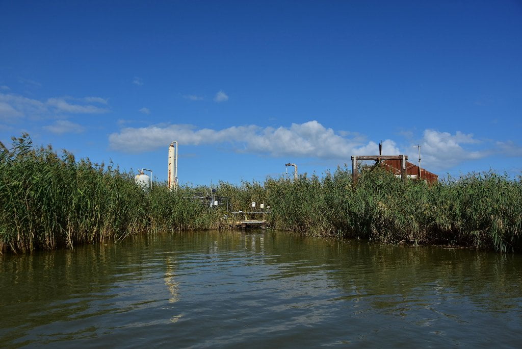
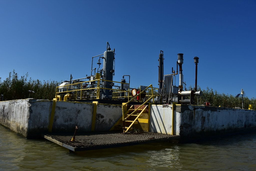
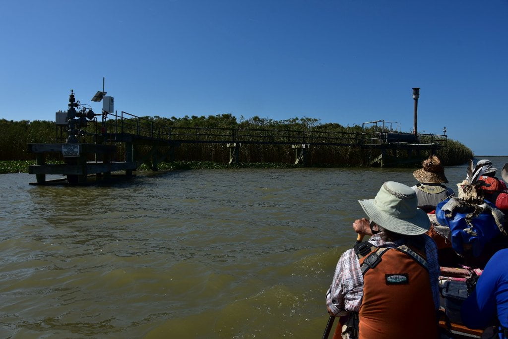
- Numerous Oil Derricks & Platforms
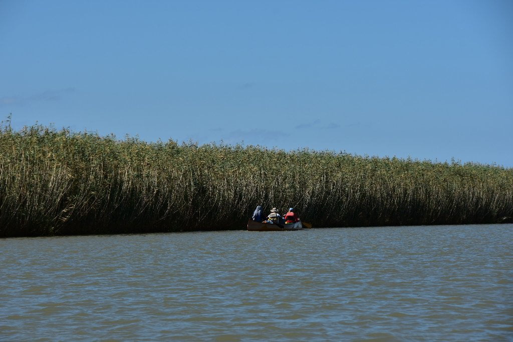
Everyone know that the Mississippi River flows south to the Gulf of Mexico, right? Wrong! Not always anyway. The Mississippi flows towards all points of the compass in its 2300 mile journey. Now, as if intent on dispelling this myth of the southerly flowing river, here at its first major pass it turns a 180 degree half donut spin back to the north, and spills its muddy guts northward into Breton Sound!
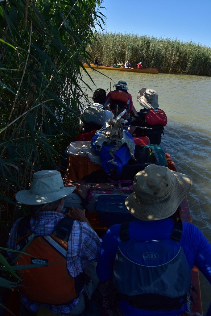
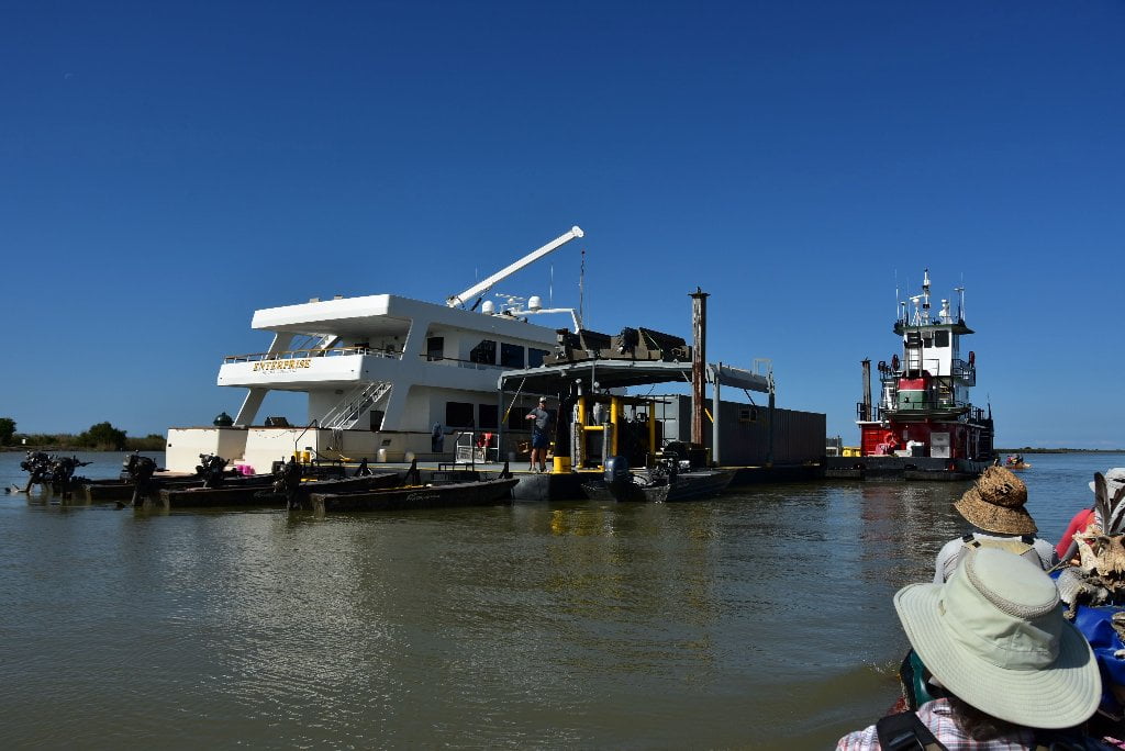
Baptiste Collette Bayou is your first big pass splintering off the Lower Mississippi River. You have been paddling past other passes and canals leading to the ocean, but none this big, and none with this size of traffic. Baptiste Collette is heavily used by crew ships and supply vessels for the hundreds of derricks and oil platforms scattered through this part of Breton Sound. Watch for fast moving vessels with sleek prows carving the water, and big waves following. They normally slow down for smaller craft, but they don’t always see you.
If you are comfortable with waves and heavy traffic you could paddle 9 miles down Baptiste Collette Bayou to reach the open waters of Breton Sound. There are many beaches towards the end of Baptiste Collette, but they are difficult to get to. We do not recommend ending your trip here. But if you insist, your best plan would be to go to Google Earth and closely inspect route first for best navgation and turnaround place.
-1.9 RBD Emeline Pass
1.9 miles down Baptiste Collette you can turn into Emeline Pass and paddle another 6 miles to Gulf via Breton Sound, but be forewarned, no sandy beaches are to be found.
-2.5 RBD Fimbel Pass
Fimbel Pass is found 2.5 miles Baptiste Collette Bayou. You can paddle down Fimbel Pass 5 miles to reach Breton Sound, but it is very busy with oil industry traffic, and there are no beaches.
Leave A Comment
You must be logged in to post a comment.