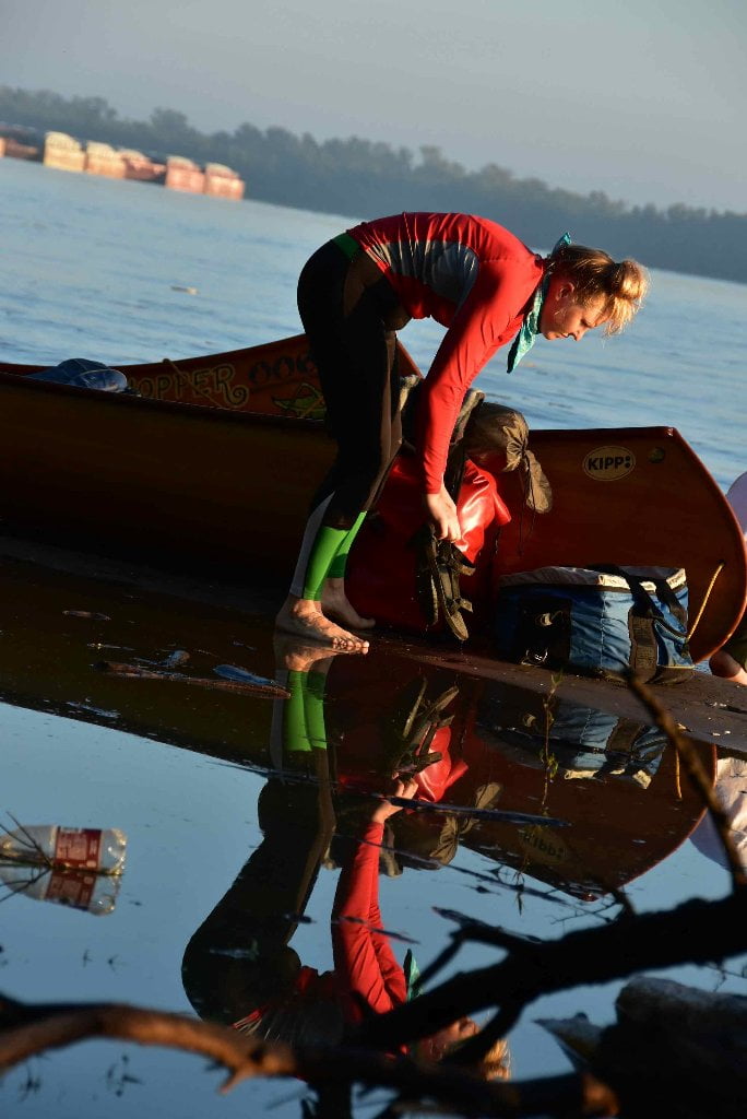
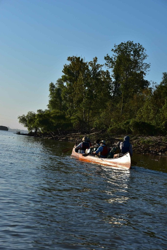
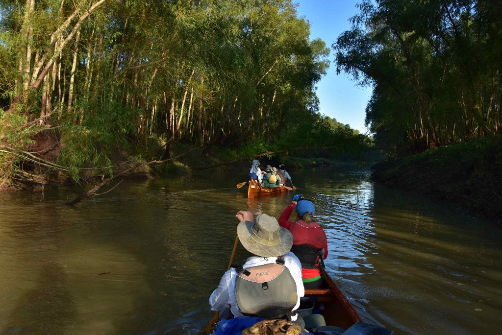
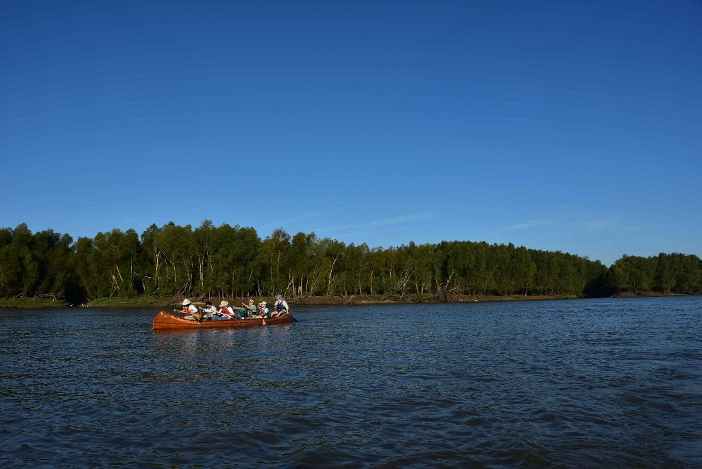
The Lower Mississippi River Water Trail

Rivergator Appendix 4
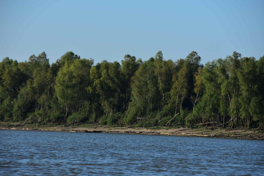
Flora & Fauna:
As seen on the Rivergator Expedition
Baton Rouge to Gulf of Mexico

Flora & Fauna:

  • Black Willow
  • American Sycamore
  • Eastern Cottonwood
  • Bald Cypress
  • Box Elder
  • Rough-Leaved Dogwood
  • Southern Live Oak
  • Southern Hackberry aka Sugarberry
  • Chinese Tallow Tree
  • Chinese Privet
  • Green Ash
  • Water Hickory / Bitter Pecan
  • Red Mulberry
  • American Persimmon
  • Button Bush
  • Poison Ivy
  • Pepper Vine
  • Trumpet Creeper
  • Climbing Hempvine
  • at least 3 species of Hibiscus
  • False Indigo Bush
  • Sesbania (rattle box)
  • Blue Mistflower
  • Moonflower
  • Ground Nut
  • unidentified legume
  • invasive poisonous legume
  • Burr Cucumber
  • Lantana
  • number of Grape species
  • Soybean
  • Corn
  • Sagittaria
  • Roseau Cane / Common Reed
  • Spartina (marsh grass)
  • Eastern Baccharis
  • Cattail
  • Giant Bulrush
  • Pickerelweed
  • Water Hyacinth
  • Alligator Weed
  • Pennywort
  • Water Clover (Marsilea sp.) – the “four leaf clover”
  • Pondweed (Potamogeton sp.) – the plant with all the elongated leaves floating near the surface of the water where we got stuck paddling back up.
  • Black Vulture
  • Turkey Vulture?
  • Bald Eagle
  • Osprey
  • White Pelican
  • Brown Pelican
  • White Ibis
  • Roseate Spoonbill
  • Magnificent Frigatebird
  • Black Necked Stilt
  • Red Winged Blackbird
  • Great-tailed grackle
  • some Hawks
  • Barred Owl vocalizations
  • seagulls
  • terns
  • American Oystercatcher?
  • Marsh Wren?
  • some kind of sparrows in the marsh
  • some kinds of swallows and/or swifts
  • some kind of sandpiper
  • some kind of warbler
  • Rough Green Snake
  • Red Eared Slider (turtle)
  • Common Musk Turtle
  • Cottonmouth
  • American Alligator
  • lots of frogs
  • Beaver
  • Cottontail Rabbit
  • Whitetail Deer
  • Wild Hog
  • Coyote
  • lots of small rodent tracks
  • Bobcat tracks?
  • Alligator Gar
  • Asian Carp
  • other Gar
  • Shad? (in the boat)
  • Mullet
  • Catfish
  • Hermit Crab
  • Variety of snails
  • Horned Passalus (big beetle)
  • Golden Orb Weaver
  • number of moths and butterflies

Leave A Comment

SECTION MILE ACCESS CITY
Middle Mississippi & Bluegrass Hills / Bootheel 195-0, 954-850 ST. LOUIS TO CARUTHERSVILLE
Chickasaw Bluffs 850 – 737 CARUTHERSVILLE TO MEMPHIS
Upper Delta 737 – 663 MEMPHIS TO HELENA
Middle Delta 663 – 537 HELENA TO GREENVILLE
Lower Delta 537 – 437 GREENVILLE TO VICKSBURG
Loess Bluffs 437 – 225 VICKSBURG TO BATON ROUGE
Atchafalaya River 159 – 0 SIMMESPORT TO MORGAN CITY
Louisiana Delta 229 – 10 BATON ROUGE TO VENICE
Birdsfoot Delta 10 – 0 VENICE TO GULF OF MEXICO
Introduction  
Venice to the Gulf
Water Levels According To The Venice Gage (VG):  
Flood Stage Warning:  
11.5 LBD Sandbars At Mouth Of Baptiste Collette Bayou – North Side
11.4 LBD Shell Beaches At Mouth Of Baptiste Collette Bayou – South Side
11.5 LBD Baptiste Colette Bayou
-1.9 RBD Emeline Pass
-2.5 RBD Fimbel Pass
-6 To -8 Baptiste Collette Jetty
10.5 The Jump: Entrance to the Venice Harbor
Directions To The Marinas In Tiger Pass  
Cypress Cove Marina  
Venice Marina  
10.4 RBD Grand Pass
Grand Pass  
Tiger Pass  
The Wagon Wheel – Venice Salt Dome  
10.2 RBD Grand Pass Island
10.2 To 9.8 RBD WARNING: Iron Pilings In River
9.6 – 8 LBD Lower Venice Anchorage
4.9 LBD Mary Bower’s Pass
4.8 RBD New Pass
4.8 RBD New Pass Cypress Beach
3.5 – 2.9 LBD Cubit’s Gap
Cubit’s Gap/Main Pass Camp  
Octave Pass North  
Cubit’s Gap: Octave Pass  
Cubit’s Gap: Brant Bayou  
Cubit’s Gap: Raphael Pass  
Delta National Wildlife Refuge  
2.4 LBD Shell Pipeline Co., Pilottown Wharf
1.9 LBD Pilottown
0 RBD Mile Zero (SW Pass) Camp  
Head of Passes -0- Mile Zero
Southwest Pass  
River Levels Down SW Pass  
-4.5 LBD Burrwood Bayou (Top Entrance)
-8.9 LBD Pogo Producing Co., E-3 Boat Landing
-14.5 LBD Burrwood Bayou (Bottom Entrance)
-14.5 RBD Dredge Piles
-14.5 LBD Burrwood Bayou Closure
-18.0 LBD Associated Branch Pilots, Southwest Pass Station Wharf
-20.2 LBD End Of The Jetty/End Of The River
South Pass  
-3.4 LBD Picnic/Camping Spot
-4 To -10 RBD East Bay Bayou Openings
-10 RBD Picayune Bayou
-11 RBD Port Eads
-11 RBD High Adventure Marina, Port Eads
-11.8 LBD Bayou Opening (To Backside Of Upper South Pass Island)
-12.1 LBD Tiny Bayou Opening
-12.2 LBD Opening In Jetty Along Ocean Side Of Upper South Pass Island
Upper South Pass Island West Jetty End
-13.5 RBD  
Best End Place: Lower South Pass Island  
-14.2 LBD East Jetty End
Pass A Loutre  
-0.5 RBD Upper Shallow Island
-1.5 RBD Lower Shallow Island
-2 RBD Cheniere Pass
-2.5 RBD Willow Clump
-4 To -5 RBD Wetlands
-6 LBD Muddy Shallows
-11 LBD Disappearing Banks
-12.8 LBD North Pass Island
-15 North Pass Island Beaches
Southeast Pass  
-5.5 RBD Mouth Of Southeast Pass
-7 RBD Pass A Loutre State WMA Picnic Area
-12.5 Channel Splits
-12.5 Southeast Pass Island
Pass A Loutre State Wildlife Wildlife Management Area  
Balize, The Oldest City The Delta Ate  
Getting Back  
Upstream Paddling  
What Do You Do Now With Your Vessel?  
LiNKS = Leave No Kid On Shore