The Lower Mississippi River Water Trail
Can you drink the water?
In 1924 Walter and Sissy Anderson paddled the Ohio River into the Mississippi, and continued on downstream bound for the Gulf like so many expeditions still running the big river. Walter regularly dipped his cup in the river for a drink and declared it the “best tasting water he’d ever drunk…” Things on the river were bad back then. The industrial age in full upswing and no oversight on what you could dump in the river, or in the air. But Walter was a young Mississippi artist intent on experiencing nature one on one, as recorded in his incredible artistic tome. He didn’t boil the water. A month into their journey, somewhere above Greenville, Walter contracted dysentery and he and Sissy had to abandon the river. Fortunately since the days of Walter Anderson the Mississippi River has gotten cleaner. The 1972 Clean Water Act led to decades of remedial house cleaning for all of the industry, agriculture, and sewer systems along the river. Anyone who was dumping anything in the river had to comply, or face the severe consequences from the EPA.
Where Do You Go? (To the Bathroom?)
Urinating and defecating can be challenging in the swamplands, especially when there is no dry ground to be found. Female paddlers are especially challenged in the swamps. Urine is no problem, you can pee anywhere you can find privacy. In a canoe stand up and do it over the side of the canoe. In a kayak you might need a bailer as a vessel. Women can use bailers, or one of the handy female cups. Poop becomes more problematic. In the swamplands you have a choice: pack it out, or leave it in the water. Leave No Trace paddlers will carry it out in special made poop bags, and this is probably the best solution. An Atchafalaya resident told me that you can do it anywhere, and the swamp will take care of it, just as it does with any other animals that poop, the nutria, the beaver, the deer. He told me that he would paddle his pirogue and find an overhanging tree to sit on, and use like a toilet seat! If you find any sort of muddy land you can try to bury it the best possible. It will probably rise back to the surface, but cover it with mud and roots and whatever else you can find. It should go without saying, but I’ll say it anyway: don’t collect water from anywhere near your waste locations!
Water Quality
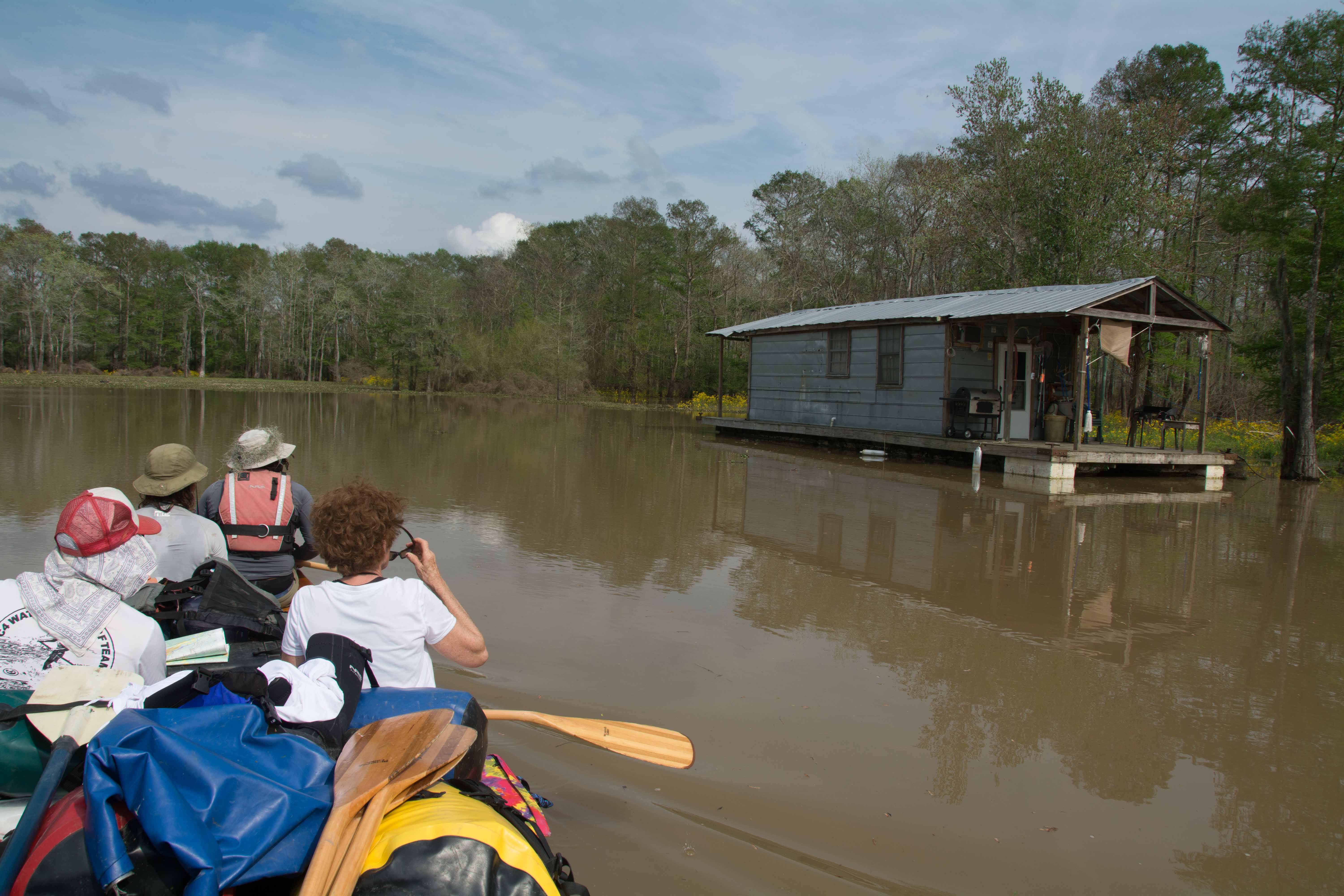
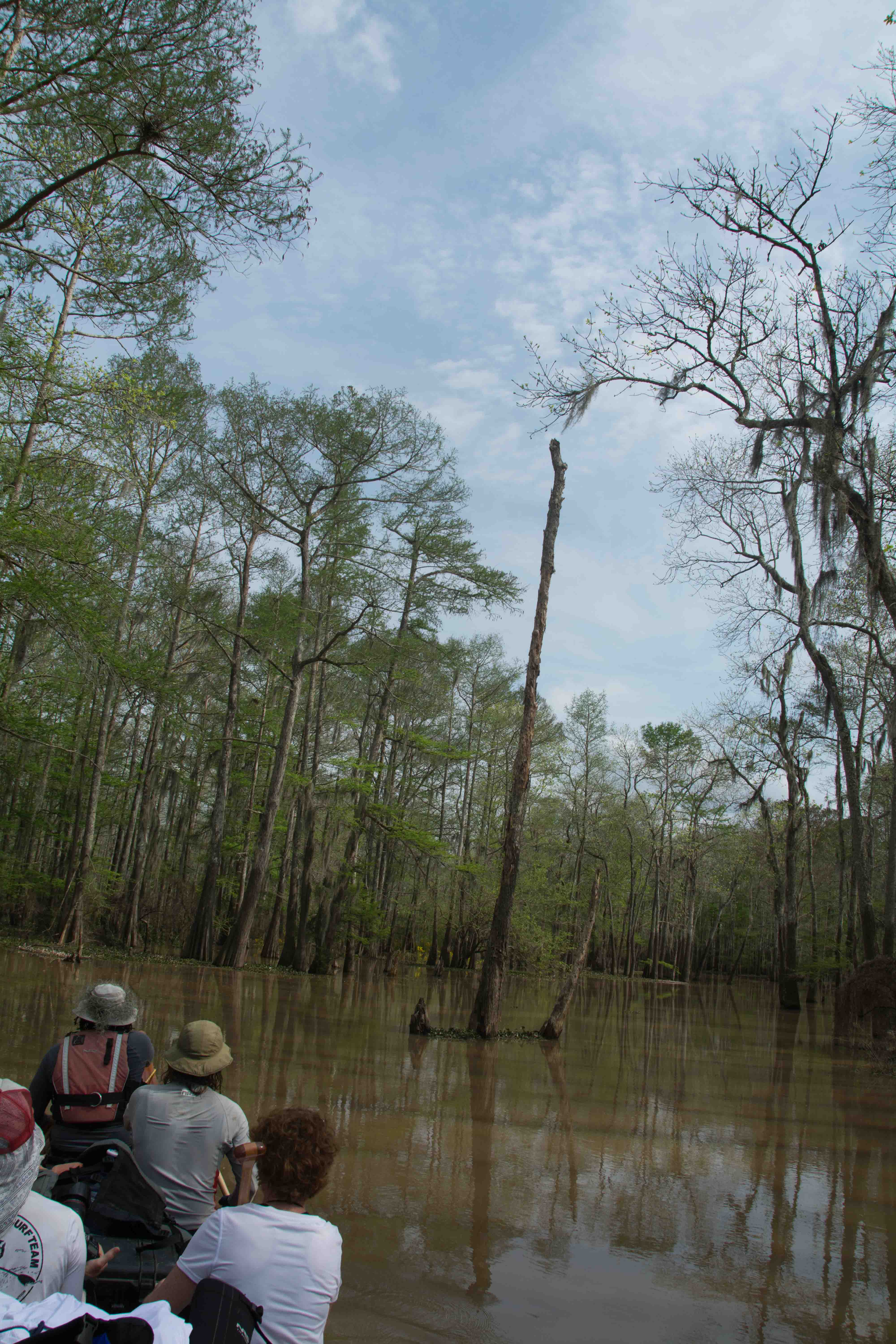
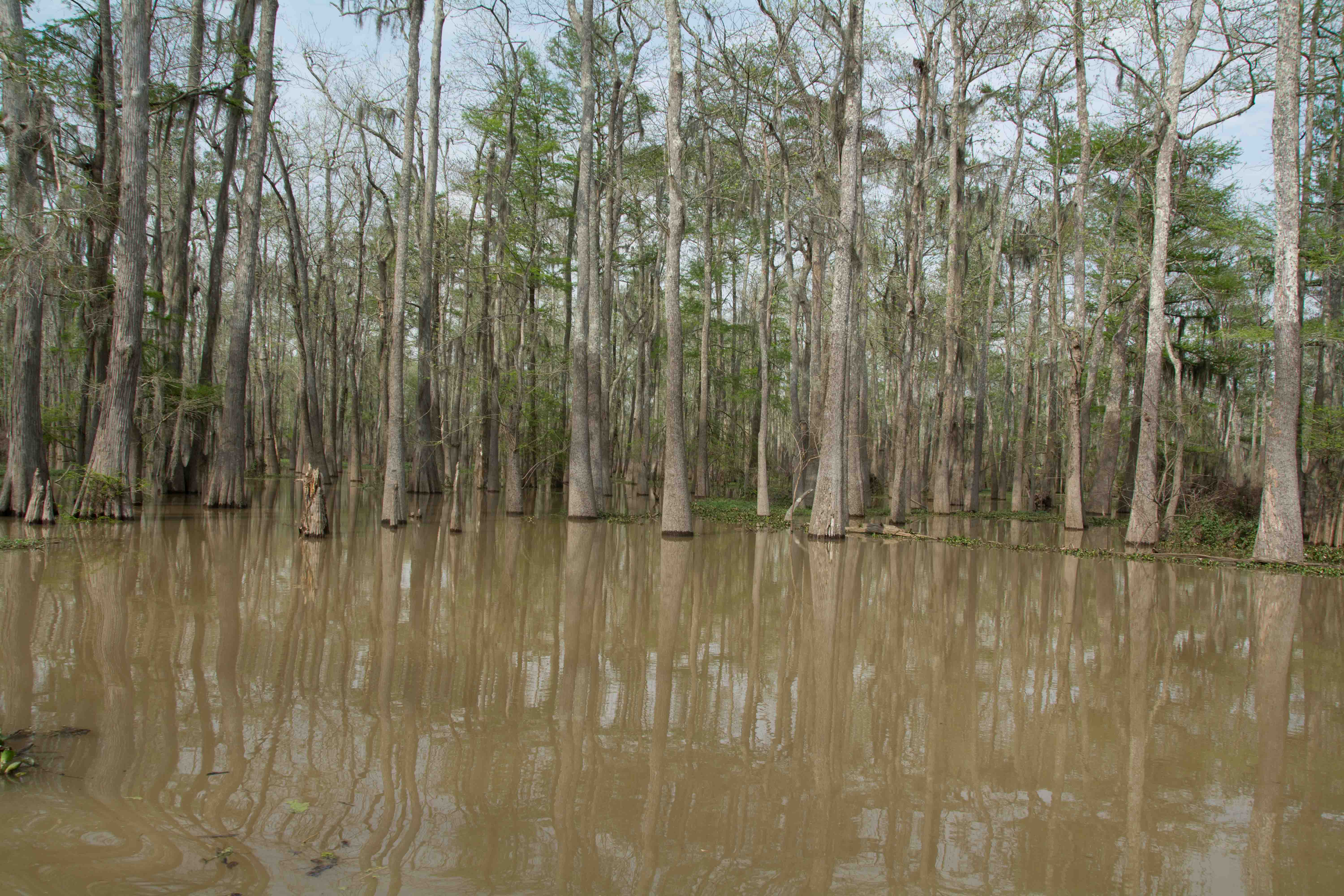
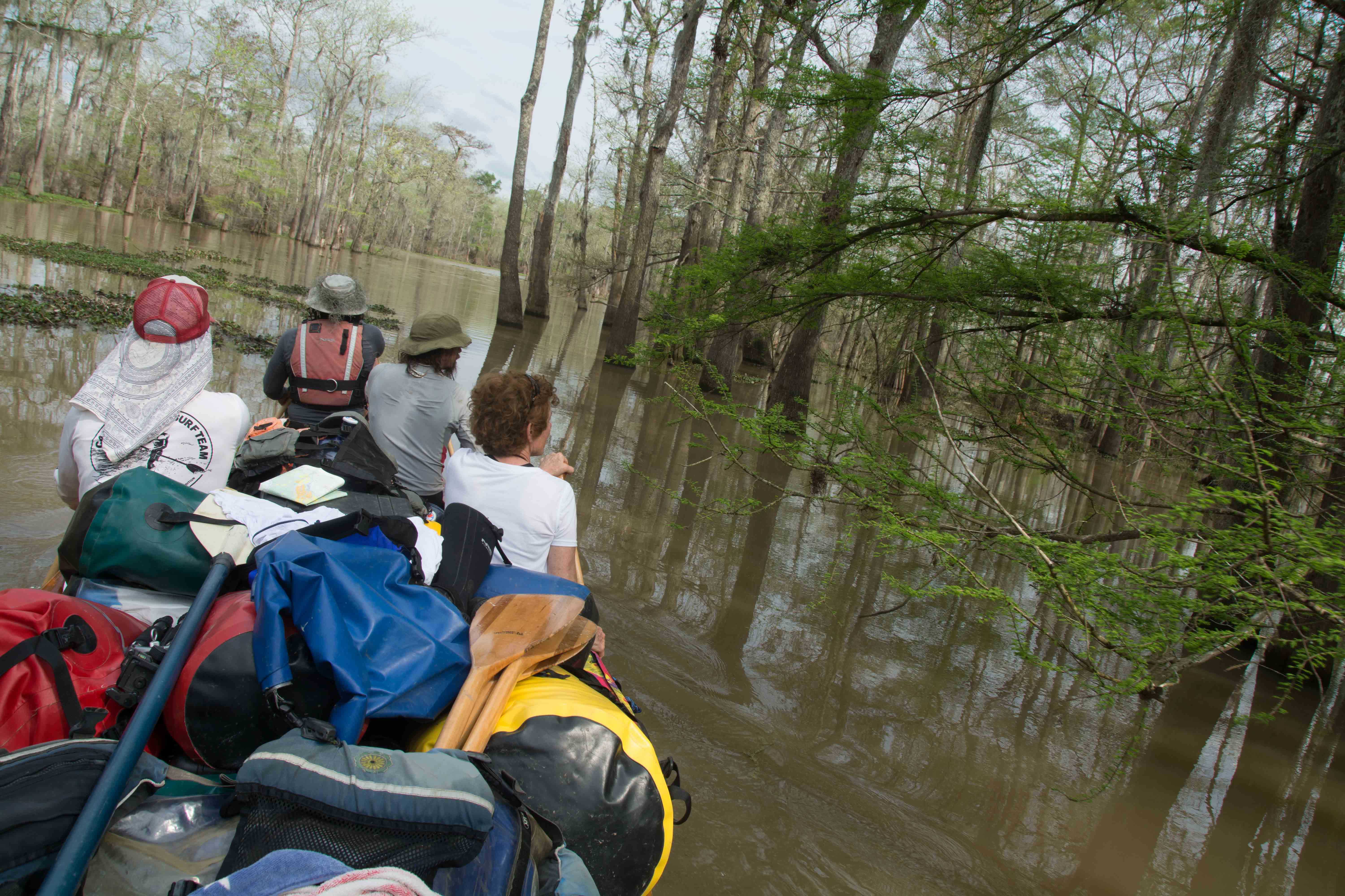
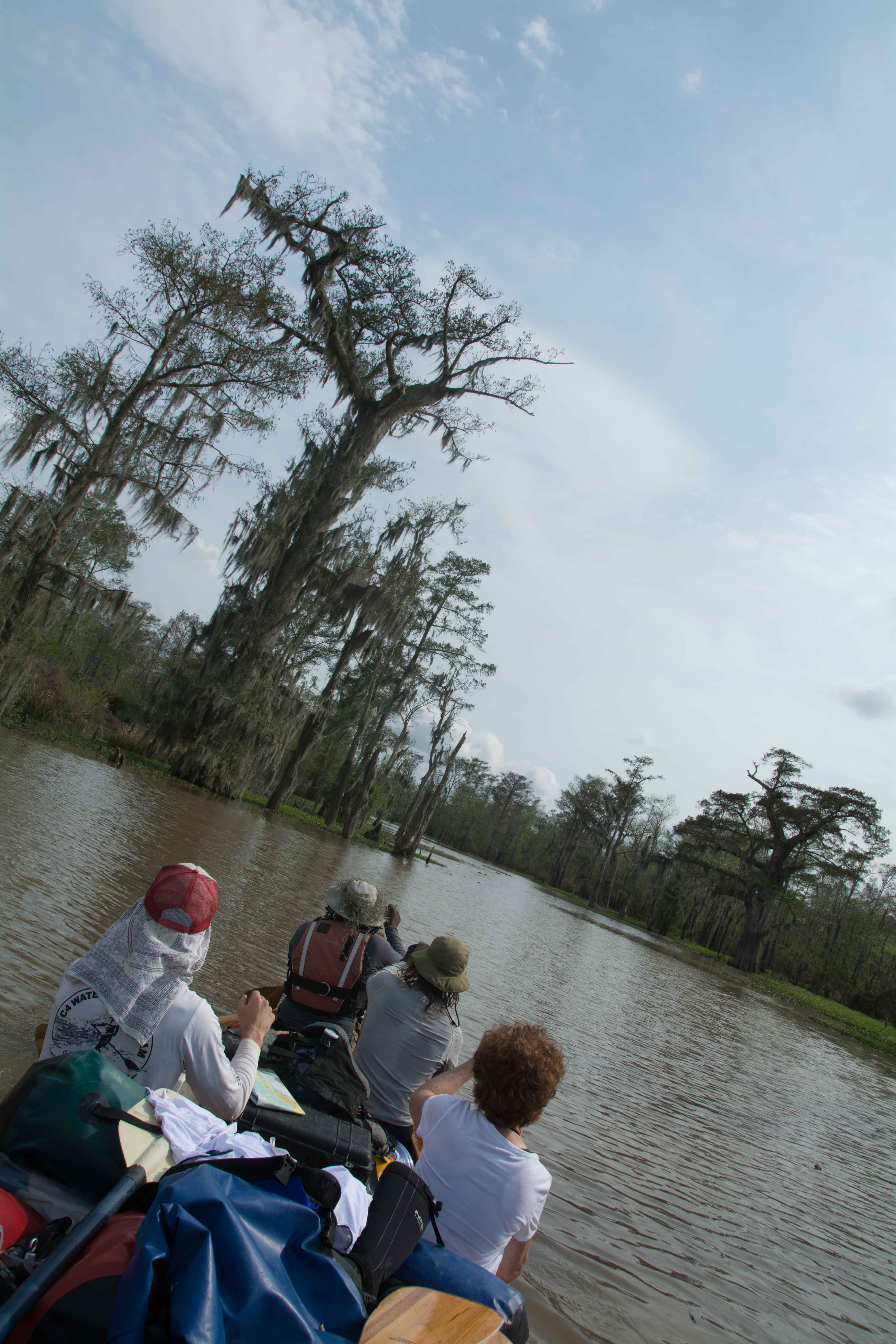
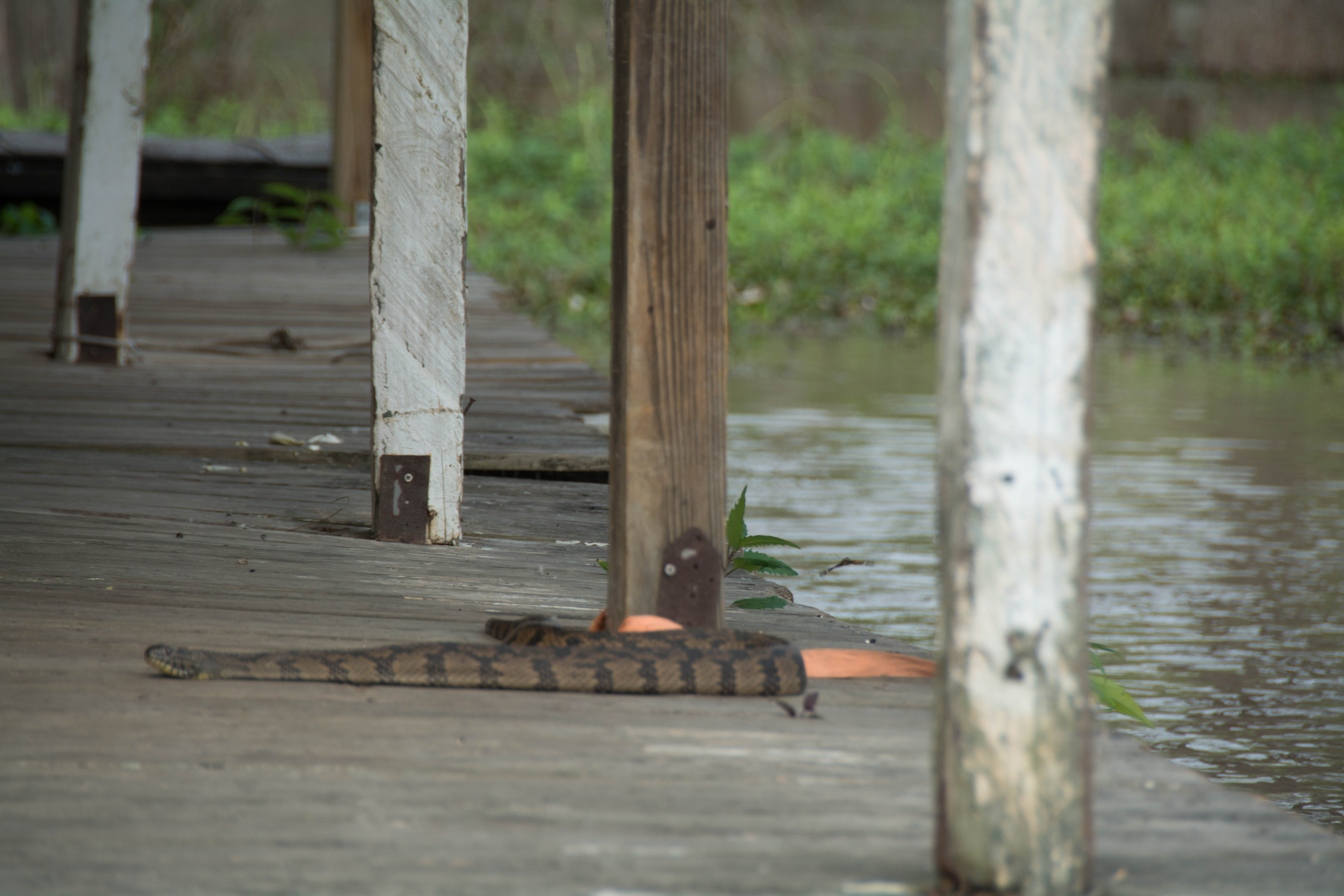
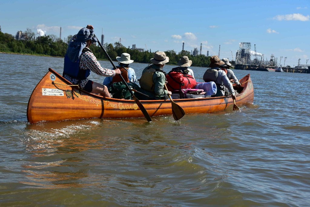
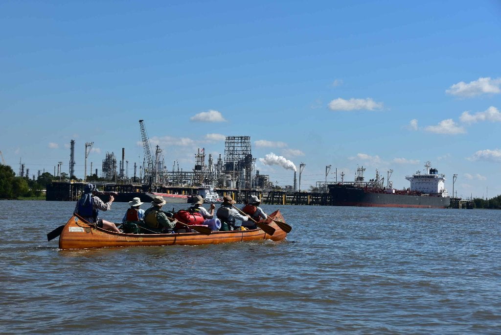
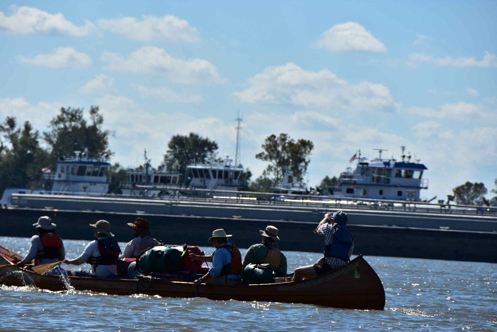
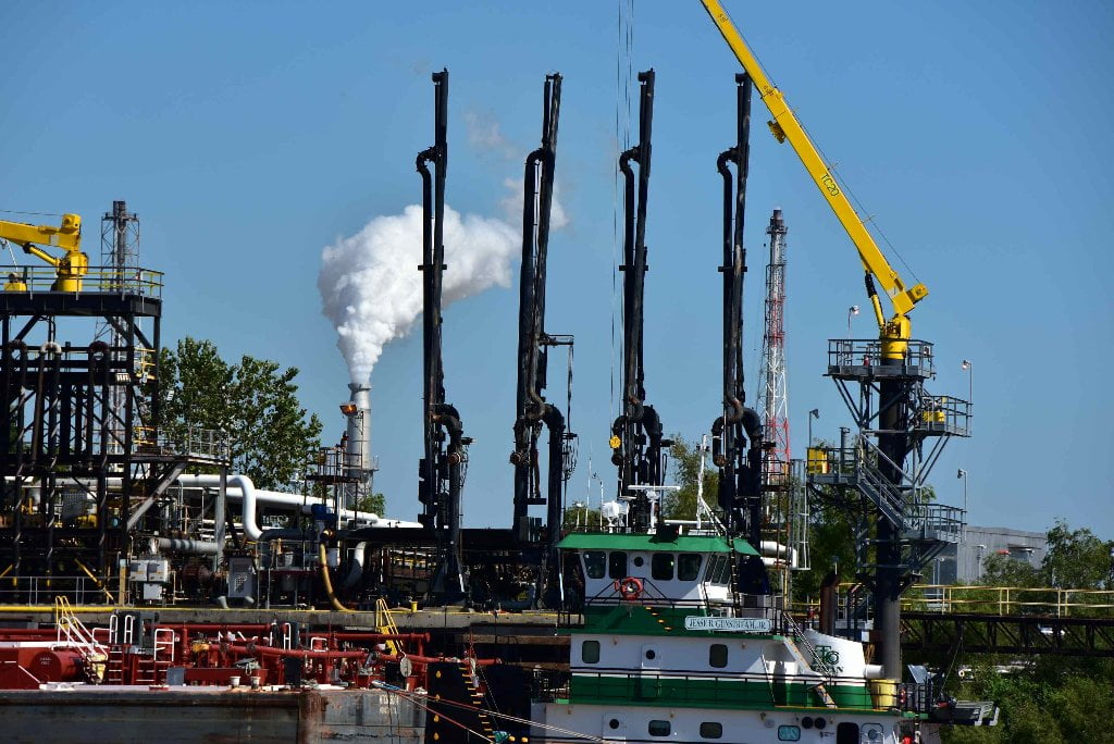
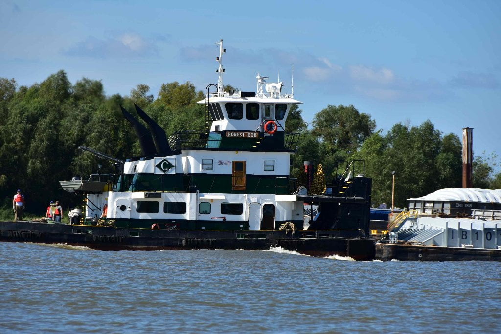
In many places, the Atchafalaya is as wild and pristine a river as you will find anywhere in the continental United States. However, the Atchafalaya also serves as a highway of commercial transportation and industrial manufacturing; increasingly so as you paddle further downstream toward the Gulf. With that in mind, the Atchafalaya River paddler should be aware of environmental hazards that may be present from activities that contribute possibly harmful pollution into the river. Leaks and spills from barges and commercial vessels as well as outfalls from municipalities and industrial facilities have the potential to introduce dangerous pollution into the Atchafalaya River within the vicinity of paddlers. It is important to be aware and avoid these sorts of hazards. As a general rule of thumb, if you notice an unusual / unpleasant smell or water that just doesn’t look right, AVOID IT! Dangerous pollution can sometimes produce pungent smells, unnatural foaming, very dark or unusual colored water and oily sheens. In extreme instances, the pollution a paddler may encounter on the Atchafalaya River could produce harmful fumes that irritate the lungs and eyes and water that could irritate the skin if contact is made. These sorts of environmental hazards should be given a wide berth by paddlers. Do not swim, drink, wash clothes or dishes or even paddle within the immediate vicinity of these pollution sources. This sort of pollution not only poses a risk to paddlers but diminishes the health of the Atchafalaya River and all it’s important uses downstream, including drinking water for cities like Morgan City. As paddlers, you are part of a small group of people that witness all the nooks and crannies of the greatest river in North America. If you see something of concern on the Atchafalaya River be sure to report it to the appropriate authority, such as the United States Coast Guard or the Mississippi or Louisiana Department of Environmental Quality. If you have a camera or smart phone, take a picture (with GPS if possible) and be sure to write down where and when the picture was taken. The Mississippi River gives us many many blessings. As paddlers we have the unique opportunity to safeguard the Atchafalaya by being its voice and speaking up when we see pollution or other concerns that need to be improved.
The Atchafalaya Basinkeeper
Atchafalaya Basinkeeper is a non-profit organization dedicated to protecting and restoring the ecosystems within the Atchafalaya Basin for future generations. We are a Waterkeeper program under the Waterkeeper Alliance which is a grass roots advocacy organization consisting of over 200 local Waterkeeper programs and dedicated to preserving and protecting YOUR water from polluters. Contact them anytime to report a concern, if you have questions or need help in addressing a problem you see along the river. Contact the Atchafalaya Basinkeeper Dean Wilson through their website http://www.basinkeeper.org, email basinkeeper@gmail.com or call 225-692-4114.
The Lower Mississippi Riverkeeper
The Lower Mississippi Riverkeeper (LMRK) is a non-profit organization in Louisiana that works to identify and reduce pollution into the lower Mississippi River. Contact them anytime to report a concern, if you have questions or need help in addressing a problem you see along the river. Contact LMRK through their website, lmrk.org, email paul@lmrk.org or call 225-928-1315.
Environmental Reporting phone numbers:
United States Coast Guard
Anyone witnessing an oil spill, chemical release or maritime security incident should call the National Response Center(NRC) hotline:
1-800-424-8802
Mississippi Department of Environmental Quality
(601) 961-5797
Louisiana Department of Environmental Quality
(225) 219-3640
or toll free: 1-(888)-763-5424
Maps and Mileage
We will leave the USACE Mississippi River Maps and go to the 2012 Atchafalaya River Charts , which can be downloaded free-of-charge from the USACE New Orleans website by clicking on the below:
USACE 2012 Atchafalaya River and outlets to Gulf of Mexico
Navigation Chart Folio, 6th Edition
http://www2.mvn.usace.army.mil/ENG/EDSD/mapbooks/atch_nav_2012_map.asp
Louisiana Geological Survey Atchafalaya Basin Map
The Louisiana Geological Survey Atchafalaya Basin Map is the best friend for any expedition down the Atchafalaya. This very useful map was printed in 2004 and is still accurate 12 years later, even as some channels are closing up due to sedimentation. Use your Louisiana Geological Survey Atchafalaya Basin Map for wayfinding the best route, and check latest details on Google Earth. The Atchafalaya Basin is surprisingly connected, thanks to a series of satellite towers situated throughout.
Atchafalaya River Boat Ramps (Functional Jan 2016)
Old River Lock & Dam Boat Ramps
5.3 RBD Simmesport Boat Ramp
29.7 RBD Melville Boat Ramp
42.3 RBD Krotz Springs Boat Ramp
55 LBD Atchafalaya NWR
61.7 LBD Bayou Des Glaises (primitive)
Breaux’s Boat Ramp (Old Atchafalaya)
Butte La Rose (Old Atchafalaya)
Rock Weir Ramp (Sixmile Lake)
Verdunville Landing (Sixmile Lake)
122 RBD Berwick Boat Ramp
124.3 RBD Intracoastal Waterway Boat Ramp


Leave A Comment
You must be logged in to post a comment.