The Lower Mississippi River Water Trail
Rivergator: Paddler’s Guide to
Atchafalaya River:
Mississippi Approach
to the Atchafalaya
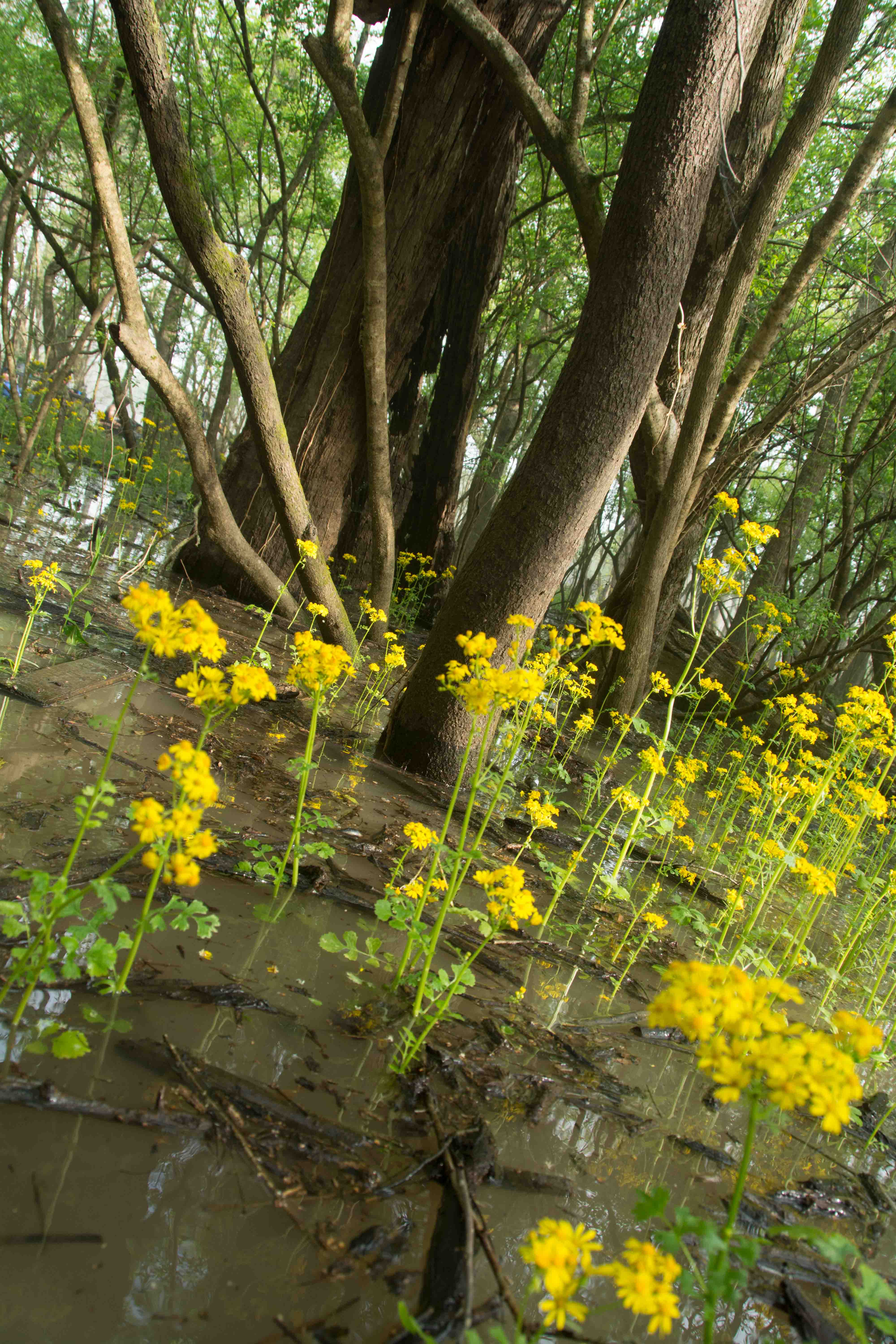
Leaving the Mississippi River
We will start this section of the Rivergator on the Mississippi, at the first of the inflow channels, for you paddlers coming down the length of the big river and getting ready to exit into the Atchaf. If you’re already here, scroll down to your mileage. We’re using the USACE Atchafalaya Charts, you can coordinate your place with the Rivergator listings by that mileage system. If you’re not on a major Mississippi expedition, and you want to paddle the Atchafalaya River, see below for where to start.
Mississippi River Maps and Mileage
For approaching the entrance to the Atchafalaya, the Rivergator will refer to the US Army Corps of Engineers 2007 Maps of the Lower Mississippi River, which can be viewed or downloaded from the following website: http://www.mvm.usace.army.mil/Missions/Navigation/RiverNavigationCharts.aspx Mileage refers to the number of miles above the Gulf of Mexico (at the Head of Passes).
NATCHEZ GAGE (NG)
The Natchez Gage is the closest gage upstream, and is similar to the Red River Gage, with a flood stage of 48. What is happening in Natchez will be happening here. The Rivergator will use the Natchez Gage in describing all landings, islands, and points of interest between Old River Control Structure and the Old River Lock & Dam. The Natchez Gage can be found online at:
http://www.srh.noaa.gov/lmrfc/?n=lmrfc-mississippiandohioriverforecast
Water levels according to the Natchez Gage
Low Water = 0 to 20 NG
Medium Water = 20 to 33 NG
High Water = 33 to 47 NG
Bank Full = 40 NG
Flood Stage = 48 NG and above
(NG = Natchez Gage)
Flood Stage Warning: above 48 NG paddlers are advised to stay off the river. Limited access. Most landings and approach roads will be underwater. Most islands will be gone. No easy camping. All sandbars will be covered. Fast waters with many hazards. All islands and landings will be surrounded by flooded forests full of snags, strainers, sawyers and all other dangerous conditions associated with floodwater moving through trees. Docks, wharves, dikes and any other man-made objects will create strong whirlpools, violent boils, and fast eddies. Towboats will create large waves. The Rivergator will not describe the river and its islands at any levels above flood stage.
WATER LEVELS AND DIKES
In the Vicksburg area you can use the following scale to Gage water flowing over dikes, although some dikes vary in height. Also some have been “notched” in recent years as result there will be a middle notch that you can paddle through at much lower levels of water, some places down to 0 Natchez Gage.
USING THE NATCHEZ GAGE:
6-15 NG water flowing through notches only
16 NG – rocks still exposed on all dikes
18-19 NG dikes starting to go under, some flow through breaks & low spots
20 NG dikes completely under, but little flow
29-30 NG good flow and lots of boils & turbulence
30 NG strong flow, some turbulence, no dikes exposed anywhere
40 NG river bank full
>48 NG Flood Stage
Warning: above 48 NG paddlers are advised to stay off the river. Limited access. Most landings and approach roads will be underwater. Most islands will be gone. No easy camping. All sandbars will be covered. Fast waters with many hazards. All islands and landings will be surrounded by flooded forests full of snags, strainers, sawyers and all other dangerous conditions associated with floodwater moving through trees. Docks, wharves, dikes and any other man-made objects will create strong whirlpools, violent boils, and fast eddies. Towboats will create large waves. The Rivergator will not describe the river and its islands at any levels above flood stage.
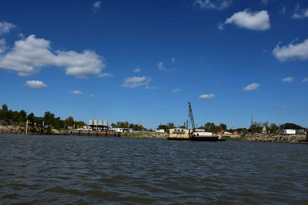
Three Inflow Openings at Old River
In the 18th Century, the Red River and the Atchafalaya River joined the Lower Mississippi in the same big bend. The Red River was one of the Mississippi’s tributaries, but the Atchafalaya was a high water outlet, a distributary that carried excess flows from the Mississippi to the Gulf of Mexico, through the Atchafalaya Basin. In 1831, Captain Henry Shreve attempted to improve navigation on the Lower Mississippi by cutting off the big bend in the vicinity of the Red and Atchafalaya Rivers. The cutoff caused the Atchafalaya to fill with drift and debris, and it soon became unnavigable. In 1839, it was reported that the head of the Atchafalaya had grown so small that in low water people could walk across it on a plank 15 feet long. The State of Louisiana, in an effort to keep the Atchafalaya from closing completely, had the huge raft of drift and debris removed, and the Atchafalaya immediately began to enlarge and deepen its channel.
Shreve’s Cutoff caused other changes in the area. The upper part of the old bend of the river began to fill, closing itself off from the Mississippi. The lower arm of the bend became the Atchafalaya’s connection with the Mississippi. In 1872, Red River changed its course, abandoned its old mouth, broke through into the old riverbed, and joined itself to the head of the Atchafalaya. With the channel that had become known as “Old River” as the only connection with the Mississippi, the flow was either westerly or easterly, depending upon the respective stages of the Red and the Mississippi.
The changed conditions caused the Atchafalaya to enlarge rapidly near its head. In 1880 it was reported that water was no longer flowing into the Mississippi from either the Red or the Atchafalaya. The current in Old River was flowing into the Atchafalaya at all stages of the water.
In the years that followed, many efforts were made to limit the flow from the Mississippi into the Atchafalaya, but they were all unsuccessful. It soon became obvious that the Atchafalaya, if left to its own devices, would capture the full flow of the Mississippi at Old River, creating a permanent diversion. The effect of the diversion on Baton Rouge, New Orleans, and the heavily populated and highly industrialized areas below Old River would be disastrous. On September 3, 1954, Congress authorized the Army Corps of Engineers to construct permanent control structures at Old River to avert the threatened diversion of the Mississippi. The problems had been under intensive study for many years, and the construction of the project began almost immediately.
The first structure to be completed was the low sill structure, and it was designed to maintain the flow that was considered normal at the time the structure was built. An overbank structure was then added to take care of excess water in major floods. So that boats would not be cut off from the Atchafalaya and Red Rivers, a navigation lock was constructed. It was opened to navigation on March 15, 1963. With all the control structures in place, Old River itself was completely closed by a huge earthen dam. The uncontrolled flow of water from the Mississippi into the Atchafalaya ceased completely on July 12, 1963.
For the next decade, the Old River control structures functioned satisfactorily. During the major flood of 1973, however, a wing wall collapsed in front of the low sill structure. When the flood waters subsided, surveys revealed severe damage to the structure. Emergency repairs were made, and the engineers began another long battle to keep the Atchafalaya from capturing the Mississippi. An extensive rehabilitation program is being developed by the Corps, while studies continue on permanent solutions to the complex problems at Old River.
Since most of the problems at Old River arose after Captain Henry Shreve constructed his cutoff in the area in 1831, it has often been argued that Shreve was responsible for the difficulties. It seems entirely possible, however, that the river would have effected a cutoff of its own without Shreve’s assistance. Samuel Cumings, in The Western Pilot, commented in 1829 that the river was rapidly wearing away the neck of of land in the bend, which was then only 200 to 300 yards across. Islands No. 119, No. 120, and No. 121 (called the Three Sisters) had already been completely washed away, Cumings said, and he predicted an early cutoff. (Braggs)
Warning:
Very dangerous currents in and near beginning of inflow channels when structures are in operation. Flashing amber lights and horns are located on the south points of the inflow channels of the Low Sill and Auxiliary structures. The inflow channels are NOT navigable channels, therefore, under no circumstances should any vessel attempt to enter. Tows and other vessels should navigate as far as possible from this area and as close to the left descending bank of the Mississippi River as safety will permit.


Leave A Comment
You must be logged in to post a comment.