The Lower Mississippi River Water Trail
Clark Creek Natural Area
One mile east of Fort Adams one of the most unusual landscapes you will ever witness anywhere is found in the deep ravines and cascading waterfalls of the Clark Creek Natural Area. In 1978 the State of Mississippi protected this natural wonder with 700 acres of some 50 waterfalls, ranging in size 10 to more than 30 feet in height. Steeply sloping loess bluff hills host a mixed hardwood and pine forest dominated by beech and magnolias. Uncommon trees found in the area are Southern sugar maple, serviceberry, umbrella tree, pyramid magnolia, chinquapin oak, big leaf snowball, silverbell, and witch-hazel. Here, visitors discover a variety of colorful migrating and resident birds; invertebrates; poisonous snakes; a rare land snail; the Federally endangered Carolina magnolia vine; and the State endangered fish, the Southern red belly face. The forest tract provides excellent habitat for another threatened species in Mississippi – the black bear. Clark Creek boasts a world champion record Mexican Plum and Bigleaf Snowball, and a Mississippi State Champion Hophornbeam.
Paddlers could hide their vessels and gear in the woods along the Buffalo River and enjoy a invigorating hike through Fort Adams to Clark Creek Natural Area, which would be a great relief to your paddle-weary arms and upper body. On the other hand, you could stay on the river a get a little taste of this glorious landscape. You will travel below the same loess bluffs that created this spectacular landform when you paddle past Knox Landing, as described below. You won’t see the waterfalls, but you can stop and walk along the base of the same bluffs at the mouth of Clark Creek.
311.7 LBD Clark Creek
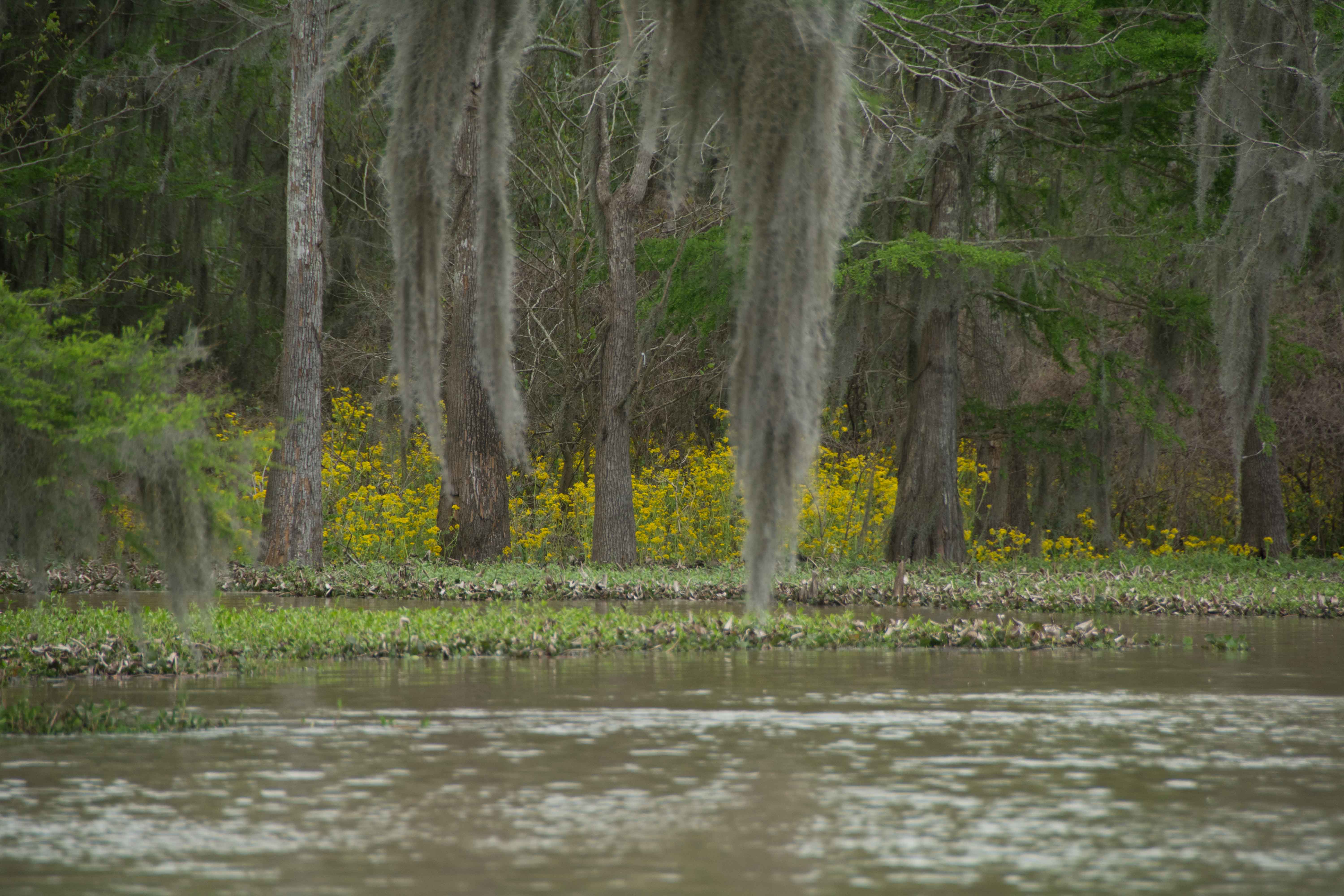
Clark Creek is the last significant drainage coming out of the State of Mississippi into the big river. As if wanting to gift paddlers with a landscape worth remembering, Clark Creek Creek creates one of the most colorful and creative settings, which can be best seen at the Clark Creek Natural Area, but which you can also get a glimpse of from the banks of the big river, left bank descending, as described below. You can also dive into the mouth of Clark Creek at all water levels and find quick shelter from oncoming storms.
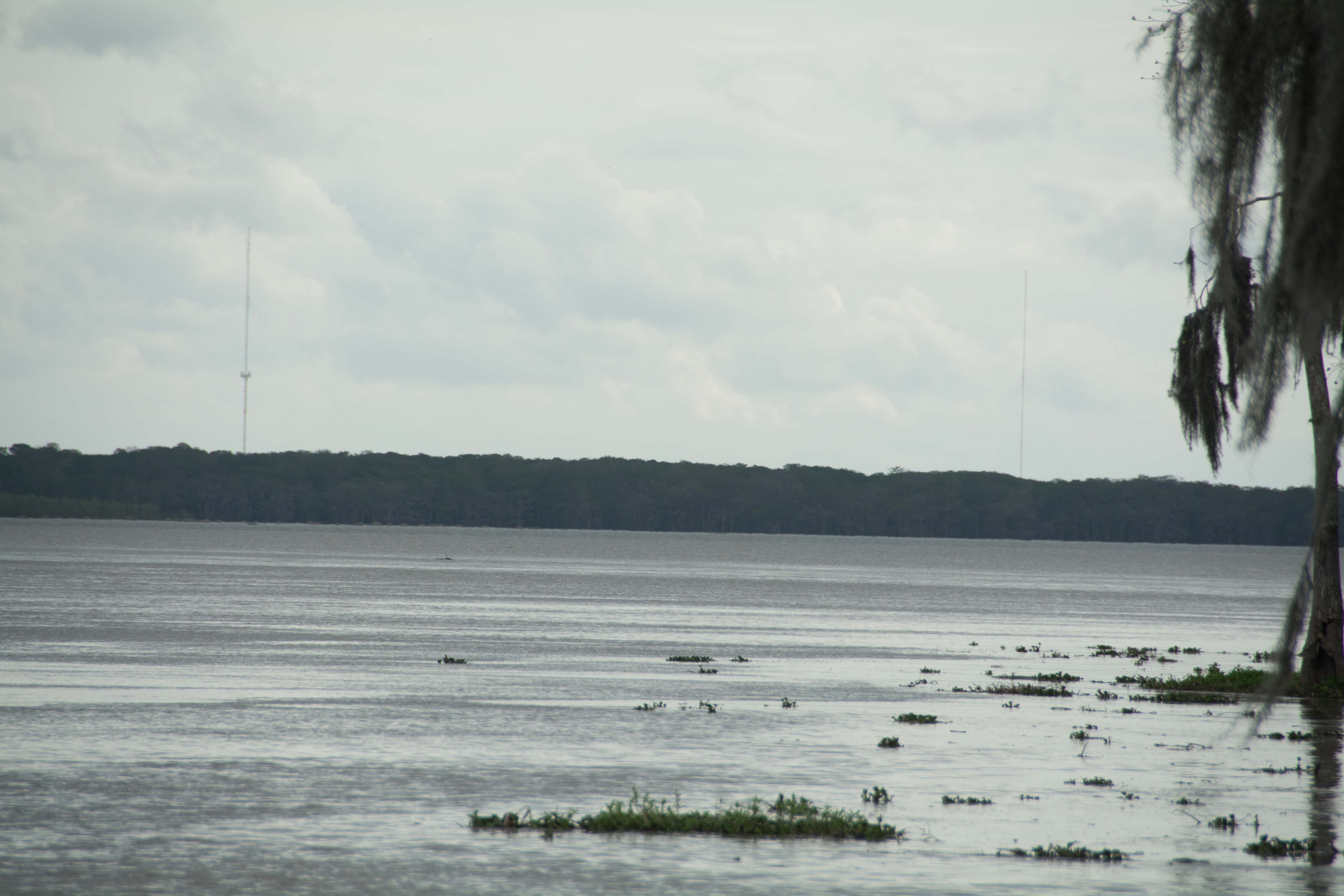
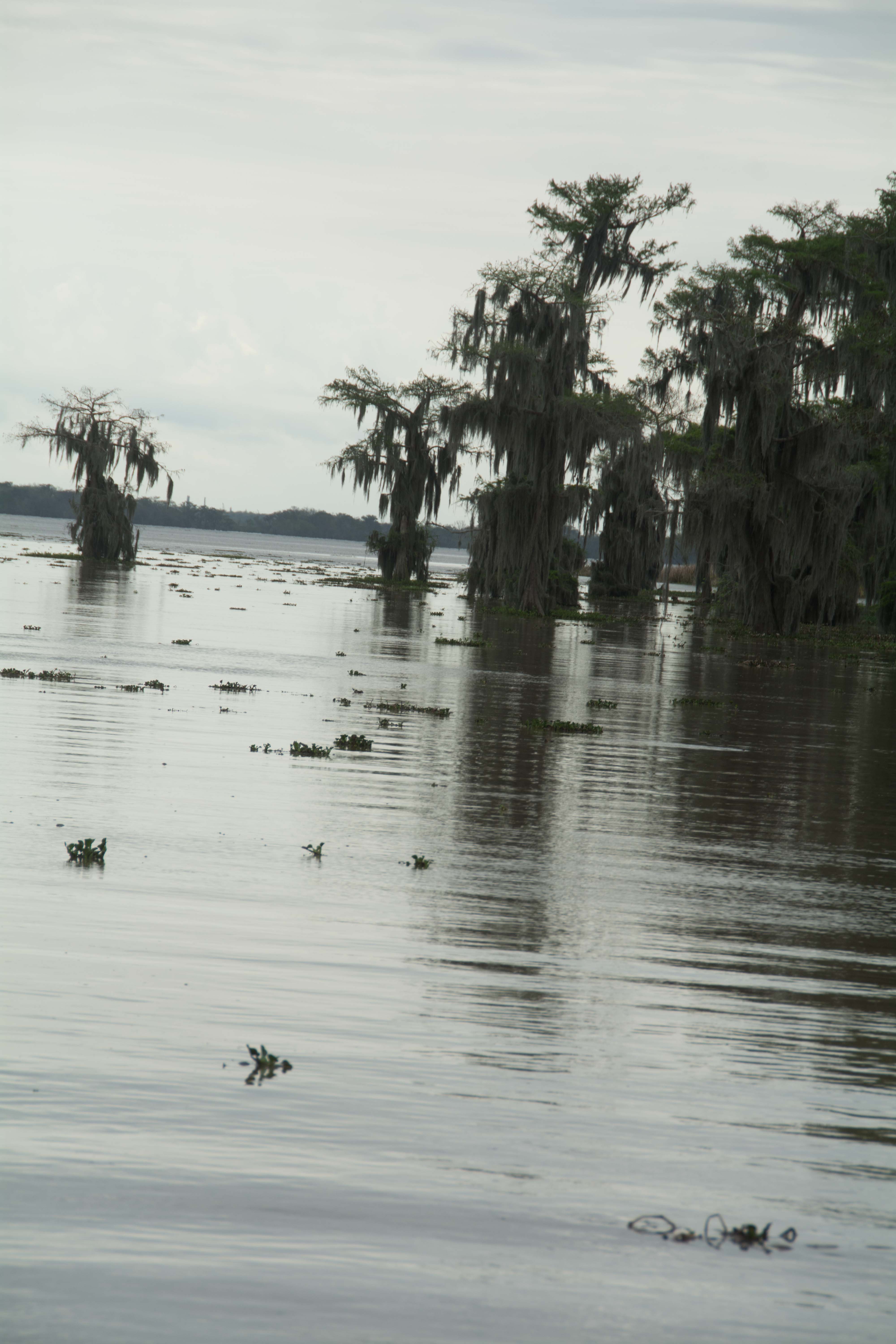
311.7 – 310 LBD Tunica Hills below Clark Creek (Mississippi Loess Bluffs #6)
There are places in this world where you feel like the creator paid special attention in the landscape and arrangement of plants. The Tunica Hills is one of the special places. Not many people know about these fantastically-folded and colored Loess Bluffs which parallel the Mississippi River Floodplain from Clark Creek down to St. Francisville, not even the good people of Louisiana and Mississippi, whose states the Hills run through. Of the few who have been blessed with a visit, they first made contact either at Clark Creek Natural Area, near Woodville, MS, or the Tunica Hills WMA, near St. Francisville, LA. But there is another way of visiting, and an entirely unique mode of transportation for getting there: and that arrival by the river in either a canoe, a kayak, a paddleboard, or some other human powered vessel!
Similar to the Chickasaw Bluffs above Memphis, but more jungly and more wild feeling, the Tunica Hills were formed by the settling of glacial dust in the biggest dust storm ever seen on the face of the earth.
The collapsing nature of the bluffs, and its tendency to form hundreds of hollows, ravines, and other natural amphitheaters, has led to an abundance of unique vegetation, insects, and possibly amphibians and mammals. The Amazon achieves diversity by its continental size. The Tunica Hills creates diversity by convoluted structure. Precious life forms take harbor from the harsh elements of the earth in places like the Tunica Hills. Without shelter, the diversity of life can be crushed by the blazing sun and scouring winds, the hard freezes and sweltering heat waves.
Beach your vessel somewhere along its base, if the water’s high you can paddle right into Clark Creek (311.7 LBD) for an intimate visit, if it’s low or medium there are a number of beautiful beaches found not far below (notably at LBD 311.4, 311, 310.9 and 310.8) and follow some natural opening, some break in the otherwise cliff-edge plateaus of mud that are collapsing downwards towards the scouring river, and walk up into the hills. You will have to squeeze in between boulders of yellow-orange loess, and up through chimneys of blue-grey sediment to get through, and duck under wild draped vines (wild grapes, red vine) looping off of giant oaks, yellow poplar, sweetgums, sycamores, a few cypress, and cottonwoods, through tilted flats bottomed with saw palmettos and horsetail, to find the shady-moisture laden hollows where a wall of ferns might climb the sides up to the exposed crusty muddy heights, the understory a rich mixture of wax myrtle, evergreen, magnolia, American holly, Yaupon, Eastern hop hornbeam, and persimmon, and on the tops of many of the most exposed muddy prominences stands of Eastern red cedar.
A recent spot assessment by dendrologist/master naturalist Nathan Beane revealed that Clark Creek also nurtured the southernmost Chinkapin Oak he knew about. Querced Muehlenberhgii is normally relegated to northern climes above the Ohio River. He also noted American hornbeam, American basswood, Winged Elm, American Elm, Pignut and Bitter Hickories, White Oak, Black Oak, Swamp Privet and White Ash. On the edge of a muddy cliff he found an elderly Vaccinium (AKA blueberry).
Unfortunately, someone has cleared a portion of the forested bluff on its south side near mile 310 LBD and built their dream home high on the ridge. They surely have the most beautiful view of the Mississippi River as it flows around Tunica Hills Bend and is split by Shreve’s Bar. Sunsets must be especially incredible. But it is a lonely view when only you can see it. And it is even more lonely when your personal monument has ruined the view for everyone else. This single house has ruined the view of the once impenetrable jungle of the Tunica Hills (Mississippi Loess Bluffs #7) for all paddlers, yacht passengers, and steamboat guests who once enjoyed the wild feeling of this stretch of river. This intrusion on the wilderness highlights the desperate need for better protection. We need to recognize and protect this wild riparian landscape, the forested floodplain and jungly bluffs that follow the Mississippi River and create one of the last intact “Long Landscapes” in the North America.
311 – 309 RBD Point Breeze
Once safely below the Auxiliary Intake channel of the Old River Control Structure, you can find a very tall bluff of sand, the tallest in the area, which makes the best highwater camping available all the way up to flood stage (and beyond). At low water, this giant sand dune might seem like too much to haul your gear to the top of to find a flat place to lay your head. Continue downstream. As you follow the dune down the river it descends along its two mile length until bottoming out in a marshy willow wetlands (at low and medium water levels). Good camping, but you might go mad with the all night sounding of the Auxiliary Channel warning horn, which bellows mournfully on and off, on and off, on and off, and seems to get louder and more maddening after dark.


Leave A Comment
You must be logged in to post a comment.