The Lower Mississippi River Water Trail
River Gages
We will refer to the following river gages on the Atchfalaya:
Atchafalaya River Basin River Gages
http://www.srh.noaa.gov/lmrfc/?n=atchafalayariverbasin
Best Water Levels to Paddle to the Gulf
The best time to paddle to the Gulf is during low or medium water levels (around 0 on the Morgan City Gage), which usually occurs in the late summer and fall. This is excellent timing for long-distance paddlers, most of whom begin in Minnesota or Montana in May or June, and 3-5 months later are approaching the Gulf of Mexico. Annually the water levels at Morgan City typically peak during the spring flood season (April-July) and trough in the fall/winter (Sept-February), with intermediate changes in between. The lowest recorded water level was -5.4 on August 25, 1926, and the record high peaked during the 1973 flood at 10.53 (The same flood that almost dislodged the Old River Control Structure). The waters almost came that high during the Great Flood of 2011 when they crested at 10.35 in Morgan City.
What do you do now with your Vessel?
After expedition completion, most paddlers arrange a return shuttle home with their canoe, kayak or paddleboard. But a surprising number have no plans to keep their vessels, and try to sell them or donate them to a worthy cause when they reach the end of the river. Some such recipients of donations in the past have been the Mighty Quapaw Apprenticeship Program, the Helena Canoe Club (outdoors program for Arkansas Delta youth), and the Clarksdale Canoe Club (outdoors program for Mississippi Delta youth). All of the above are associated with LiNKS, which means “Leave No Kid on Shore.” You can donate any of your vessels to this successful program which has changed the lives of many southern youngsters who otherwise would have no access to the outdoors, and has assisted many of those to a career in outdoor leadership and education.
LiNKS = Leave No Kid on Shore
Leave no Kids on Shore (LiNKS) is an after-school environmental conservation/stewardship program for youth from the Lower Mississippi Valley to learn the skills of carving canoes, safe paddling on the big river, and wilderness survival. LiNKS is a natural continuation of the successful Mighty Quapaw Apprenticeship Program which has been active since 1998. LiNKS will focus on long-term solutions over short term fixes, in particular by applying long-term attention to our youth, and fostering mentorship relationships that last a decade or longer. See end of this section for more information about LiNKS, and making plans to donate your vessel. Or contact John Ruskey, Director, Lower Mississippi River Foundation, Clarksdale, MS 38614, 662-627-4070, john@island63.com.
Left Bank and Right Bank
RBD = Right Bank Descending
LBD = Left Bank Descending
The Rivergator will use the standard left bank descending (LBD) and right bank descending (LBD) to indicate which side of the river the various landings, islands, back channels, and other features are located. Because of the twisty nature of the meandering river “east bank” and “west bank” have little meaning because the river is rarely flowing north to south! Ditto for state names. This section concerns and Arkansas, Mississippi, and some of Tennessee. But because of the dynamic power of the river there are pieces of each state on both sides of the river! We’ll also use “left bank” and “right bank” or “left shore” and “right shore” to denote the same.
Towboats and Buoys
Buoys:
Red “Nun” Buoys = LBD navigation channel
Green “Can” Buoys = RBD navigation channel
Towboats:
Upstreamers = towboats going up the river
Downstreamers = towboats going down the river
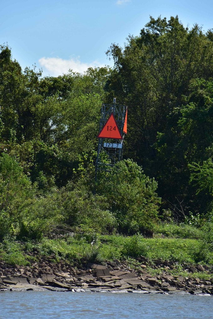
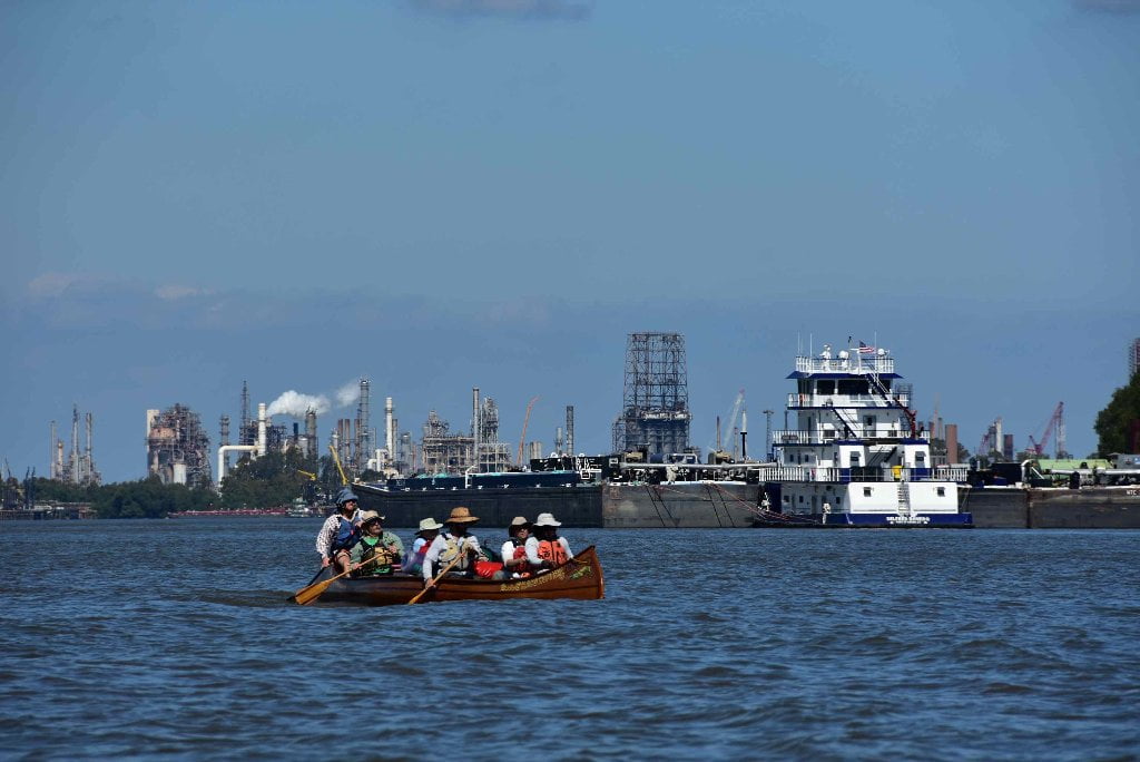
Towboats and buoys provide endless fascination for Lower Mississippi River paddlers, but also present two of your gravest dangers. Red “nun” buoys mark the left side of the navigation channel (descending) while green “can” buoys the right side. To broadside a buoy would end in certain capsize. Be ever vigilant of their position, and keep a safe 100 foot distance away. Buoys endlessly twist and yank on their cables in the current and seem to come towards you at times. Watch for “diving ducks” the buoys that become submerged by powerful waters and unexpectedly bounce back up. When towboats are present your safest route is outside of the navigation channel. Towboat pilots might notice you on their radars, but they can’t tell the difference between a flotilla of canoes & kayaks and a pile of driftwood. Their packets are so sometimes so long that the pilot might lose sight of you within a quarter mile away as you dip below their line of sight over the nose of the barges they are pushing. Wherever possible the Rivergator will describe common lines of travel for towboats. “downstreamers” refers to towboats steaming down stream with the flow of the river, and “upstreamers” refer to those plowing up the channel against the flow of the river. Upstreamers normally create the biggest and most hazardous sets of wave trains, but there are exceptions. Wave trains sometimes trail the passage of a tow for one mile or more. The safest practice around any tows is to keep watching them for any changes in progress and give them wide berth. Never cross the nose of a towboat/barge packet. Make your crossings after they have passed and their waves have subsided. The safest place around a towboat is far behind a towboat.
VHF Marine Radio
Towboat pilots use VHF marine radios for communication between vessels, and also with harbor tows, lockmasters, the US Coast Guard, and recreational craft. Commercial traffic uses VHF cannel 13 while recreational VHF channel 9. Channel 9 is rarely used because they are so few pleasure boats on the river! Some paddlers carry radios and monitor VHF channel 13. Any frequent paddlers and any long-distance paddlers should carry one, at the very least for emergency purposes. When in doubt alert tow pilots of your presence with simple statements like “canoe heading downstream right bank descending along green can buoys, crossing over and making landing left bank descending at Such-and-Such Landing.” Most tow pilots will appreciate the information and respond with encouragement and good advice. Others will swear at you and tell you to get the **** out of the way, which is not helpful at all, and might lead you to making bad decisions. If you are using one, be a wise user. Tow pilots know the river like no others. But they don’t understand canoes or kayaks very well, and have little to no idea about how canoes & kayaks & stand-up-paddleboards move through the water, and what our special abilities are — as well as our limitations. So, if you have one, and can use it, great. You are well-prepared. But if you don’t have a VHF marine radio, or aren’t comfortable with using one, don’t worry. Thousands of successful expeditions have completed their journey without one. Note: Commercial Traffic use VHF channel 67 between Baton Rouge and the Gulf of Mexico.
Resources:
USACE 2012 Atchafalaya River and outlets to Gulf of Mexico
Navigation Chart Folio, 6th Edition
http://www2.mvn.usace.army.mil/ENG/EDSD/mapbooks/atch_nav_2012_map.asp
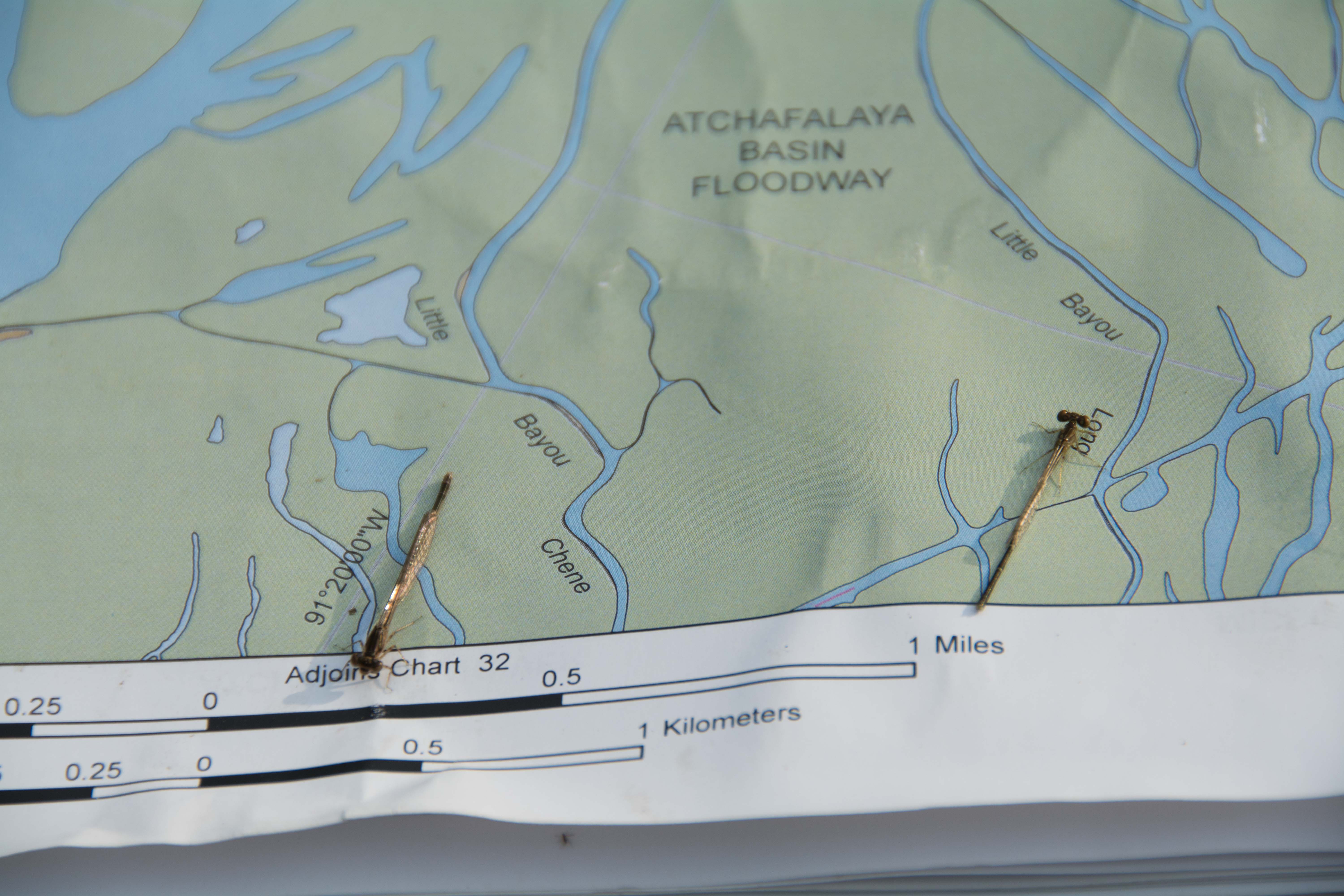
Atchafalaya Basin Map (LSU – Louisiana Geological Survey)
Full color, large scale map of the basin above Morgan City created by the LSU Louisiana Geological Survey. Waterproof paper. Features main channel, back channels, bayous, vegetation, campsites, roads, boat landings, levees, streams, and more. Fold out or rolled in tube. Satellite image on reverse side. Important Note: does not include Atchafalaya or Wax Lake Deltas below Morgan City/Bayou Teche. Contact the Louisiana Geological Survey at http://www.lgs.lsu.edu or call 225.578.8590. Or call the DNR Atchafalaya Basin Program Office at 225.342.6437. Folded map = $14.00 and Tubed map = $17.00
Atchafalaya River Basin River Gages
http://www.srh.noaa.gov/lmrfc/?n=atchafalayariverbasin
Atchafalaya Basinkeeper
Quinta Scott: Atchafalaya River Blog
https://quintascott.wordpress.com/category/atchafalaya-river/
John McPhee: The Control of Nature










Leave A Comment
You must be logged in to post a comment.