The Lower Mississippi River Water Trail
Wind Direction and Speed
For the weather.gov at Morgan City, go to:
http://forecast.weather.gov/MapClick.php?lat=29.6994&lon=-91.2068#.VqJ4hSifM20
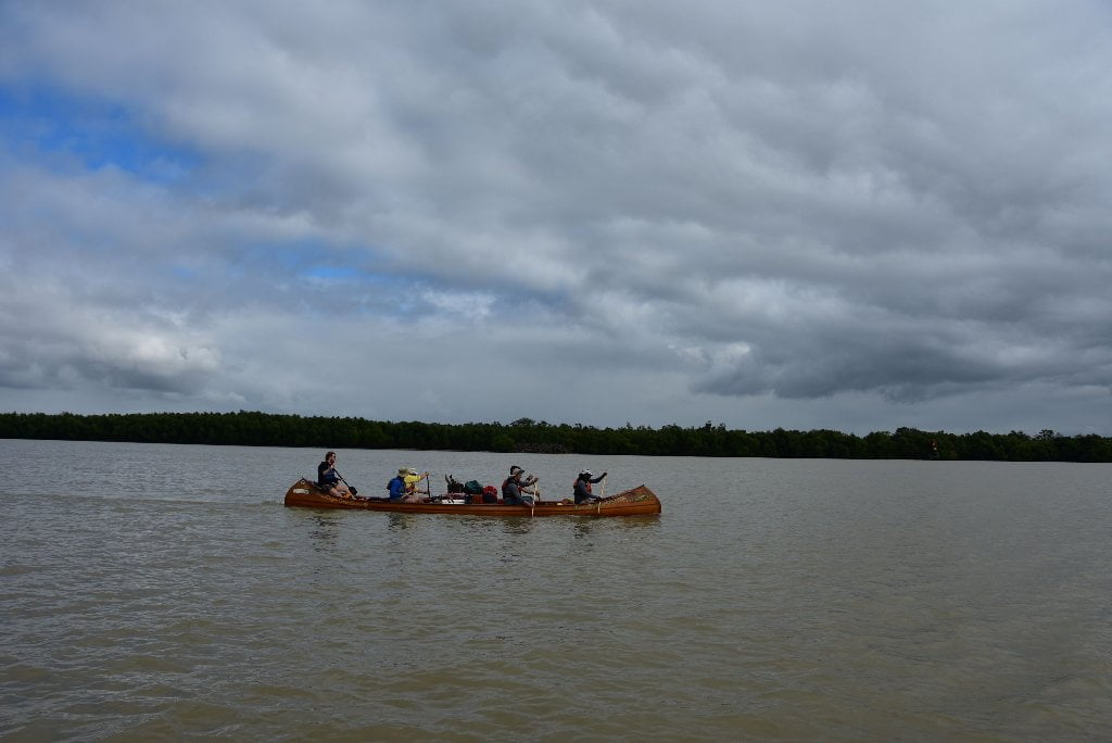
Pay particular attention to the wind speed and direction. As with other sections of the Mississippi, a good rule of thumb on the Atchafalaya is stay on shore if the wind is blowing above 15 mph in your face, and 20 mph in any other directions. Wind direction might effect which Pass you take getting to the Gulf. In strong south winds you might want to avoid south flowing Passes. Then again, you could battle south winds down The main channel of the Atchafalaya and later enjoy a tail wind as you paddle back up to Morgan City. Ideally you would drop down the main channel with a 10mph North wind, spend the night on the Melinda Island Beach, and then wake up the next morning the wind having shifted to the south, and paddle back with a 15mph South wind! If only paddlers were so lucky. Most likely you will have headwinds regardless of what you do. That’s the way it always seems to work out. Like bicyclists, we are sensitive to the air, and so any any slight motion seems to be a headwind.
Atchafalaya Delta Tides
While the Bay of Fundy tides vary up to 53 feet and the Bay of Mont Saint-Michel 50 feet, the Atchafalaya Delta tides normally only vary between 1/2 foot and a 1 foot, and might vary 2 feet in the highest tides of the year. (This change in levels is known as amplitude, and is described on charts by the term “tidal coeffecient;” see below for more discussion). But winds and storms can create higher tides, up to 5 feet higher at the ends of the passes.
Small changes in tides is good news for paddlers in this low flat landscape. You can find dry spots for camping on some beautiful low-lying flat beaches at the Gulf, and a few scattered low hummocks in between. However you also have to be very careful about incoming high tides, and make sure the place you choose is well above the forecast. Before paddling down one of the passes, or settling down in any certain campsite, check tidal reports. Also check weather.gov for any tide warnings. Tide warnings precede high winds or oncoming storms. High winds out of the east, south or west might add 3 to 4 feet to any tidal forecast, and hurricanes could add considerably more.
Warning: a high tide forecast of 3 feet or more would probably put all camp sites below Morgan City underwater!
Tidal Influence:
Besides water levels, the NOAA tides & currents listed below also detail water temperature, air temperature, wind speed & direction, and air pressure. For daily tide charts paddlers can go to:
Atchafalaya River at Berwick:
http://tidesandcurrents.noaa.gov/stationhome.html?id=8764044
Atchafalaya River at Amerada Pass:
http://tidesandcurrents.noaa.gov/stationhome.html?id=8764227
Atchafalaya Bar Channel:
http://tidesandcurrents.noaa.gov/ports/ports.html?id=mc0101&mode=show_all
There is minor tide changes of several inches below Myette Point. But below Morgan City you will start feeling the full tidal influence, from 1/2 foot to 2 feet changes. Every night when you pull up to a camp be sure to add on a foot for waves and rising tides and pull your vessel up an extra foot above river level. You will experience 1/2 foot to possibly a full 2 feet change at Morgan City, and possibly more in the open channels and bays leading out to the Gulf of Mexico below the Intracoastal Waterway.
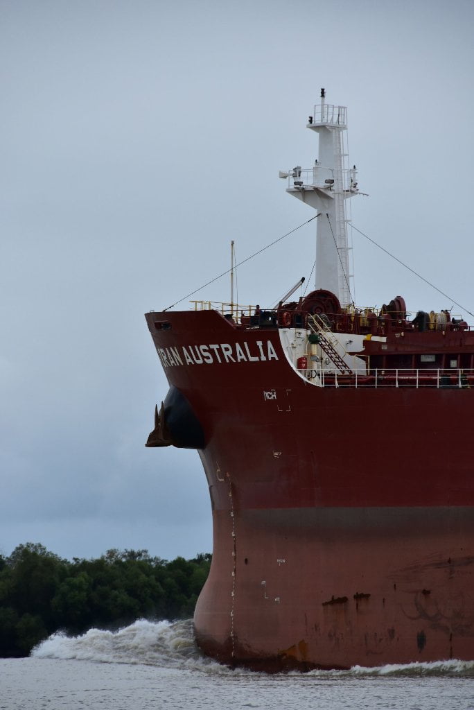
You have probably already experienced some water level changes due to tides without realizing it. At low water Butte La Rose experiences infinitesimal changes due to the pull of the moon. The effect becomes very slowly more pronounced the further downstream you paddle. But now at Myette Point, Morgan City and below you will notice a half foot change from high to low tide, which could affect your campsite choices. Tidal change combined with increased freighter speed can mean big changes in river levels at your camps, and even bigger waves (when the tide is coming in, and a big boat steams by). To be absolutely safe about your campsite, choose places that are at least two vertical feet above water level at high tide if you are camped on the main channel. If you are off main channel (say within one of the passes) you will only need to stay one foot above high tide to be safe.
We will keep our eyes on the river gages in Morgan City as the Rivergator continues downstream to the Gulf, but also on tidal readings. As we approach Morgan City, the effect of river changes diminishes and the tidal effect increases. Below Morgan City we will rely entirely on tide charts, and leave river gages behind! Remember, there are 2 high tides every day, and two low tides, as related to the pull of the moon and (to a lesser extent) that of the sun. Tidal predications are complicated by the orbiting of the sun and moon, but also by wind over the ocean, but local winds, air pressure, can have an effect, as well as the shape of the shoreline. Inlets, for instance tend to increase tidal effect. Incoming storms might pile the water higher and result in higher high tides and higher low tides. Strong Winds blowing offshore might do the opposite, creating extra low tides. It’s best to read online charts and watch for storm warnings as you paddle towards Gulf, to get the most accurate prediction.
Estimate your Camp Height
How can you estimate your camp height above water level? Here are several methods: 1) Stand at the edge of the water looking back at your camp and slowly raise and lower your head by bending your knees until you feel that your eyes are level with camp. Estimate this height. That should be as good as you’ll need, but not everyone is comfortable with this method. If you need something more concrete, try this: 2) Add a string line, string level, and small tape measure to your expedition kit. Before setting up your potential campsite, attach one end of the string line to a stick, or stake, or something within your camp choice, and pull the string taught. Now run it out to the water’s edge and attach string level. Keep string tight. Once you have found level, measure the height of the string above the water. This will give you a fairly accurate measurement. (Hint: it helps to do this with two people, one holding string, the other measuring height). This method was suggested by paddler Ben Quaintance in 2015.
Tidal Coefficient
On the Tide Tables there are tidal coefficients which tell us the amplitude of the tide forecast (difference in height between the consecutive high tides and low tides in any given area). The highest possible tidal coefficient is 118, corresponding to the greatest high or low tide there can be, excluding meteorological effects. Tidal coefficients are calculated from the following parameters or from the sun and the moon: straight ascension, declination, parallax and the distance between the Earth and the celestial body. Despite tidal coefficients being the same for the whole planet, they affect the amplitude of the tides in a very different manner, depending on where we are. This variation in amplitude is almost null and void in closed seas, apart from where there is local resonance (e.g. it can be up to 3ft in Venice); it is weak in mid-ocean, but tends to be considerably amplified when extending to the continental coasts.
In Space: There are tides of weak intensity (in the areas close to the terrestrial equator, the tides barely reach tens of centimetres). In other places there are tides of high intensity (for example: the French coasts of the Saint-Malo Bay), where they regularly exceed 30 ft.
In Time: The coefficient and therefore the amplitude of the tides follow the phases of the moon with slight disparity during waxing and waning moons; and extensive disparity at times of new moon and full moon. The differences in amplitude between low tides and high tides present great contrasts. In Saint-Malo the difference in level between high tide and low tide is reduced to 10 ft in periods of low tides; and goes as high as 40 ft in periods of high tides.







Leave A Comment
You must be logged in to post a comment.